Chuo-ku Tourism Association Official Blog

Chuo-ku Tourism Association correspondent blog

Introducing Chuo-ku's seasonal information by sightseeing volunteer members who passed the Chuo-ku Tourism Association's Chuo-ku Tourism Certification and registered as correspondents.

List of Authors

>>About this blog

Recent blog post

Walk along the ruins of Sakuragawa (Yachimachibori)!

[Hikoharu Co., Ltd.] Nov. 30, 2018 18:00

This project is also to walk along the ruins of a real river in Chuo-ku.

And the river is Sakuragawa.

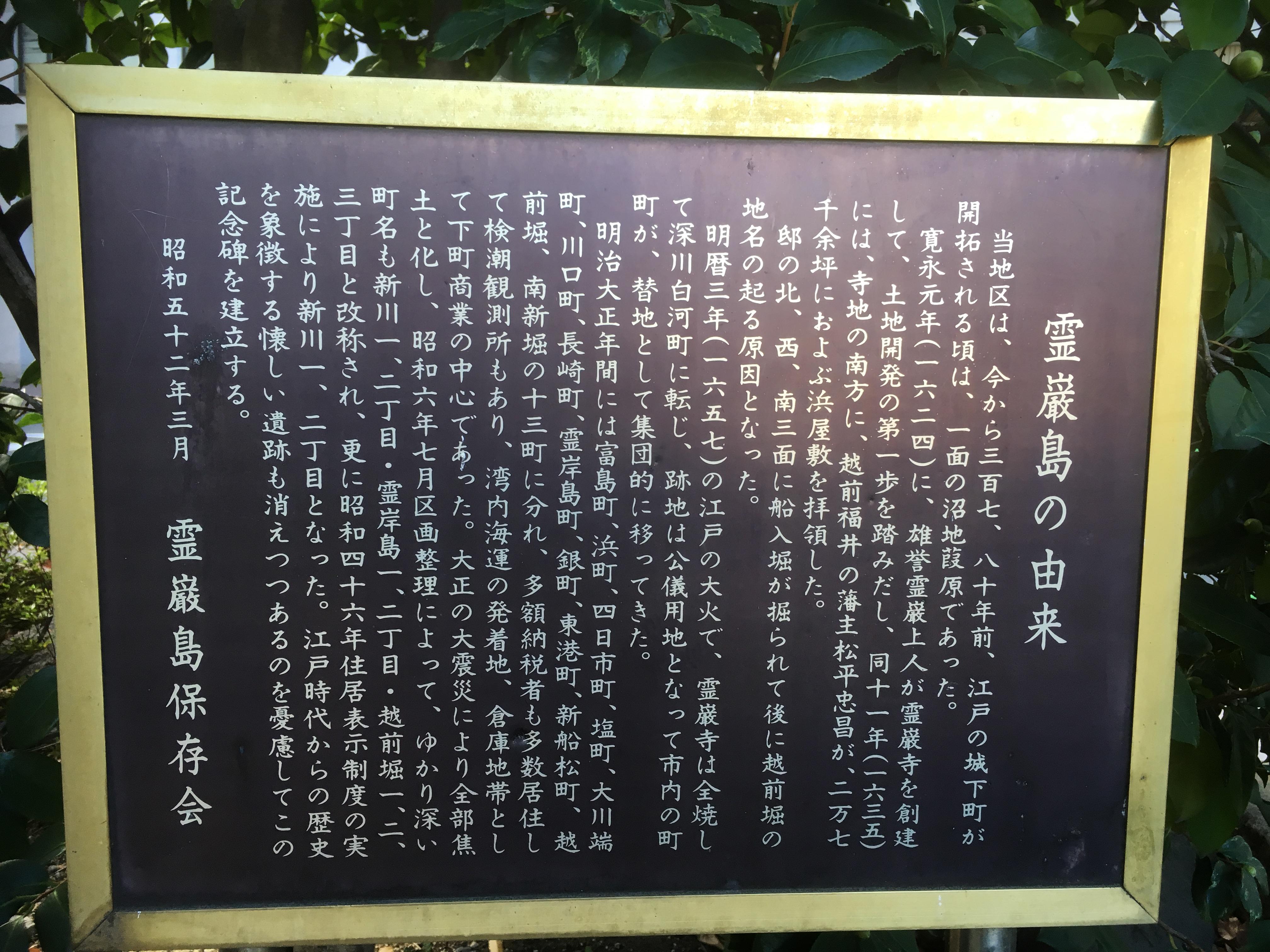
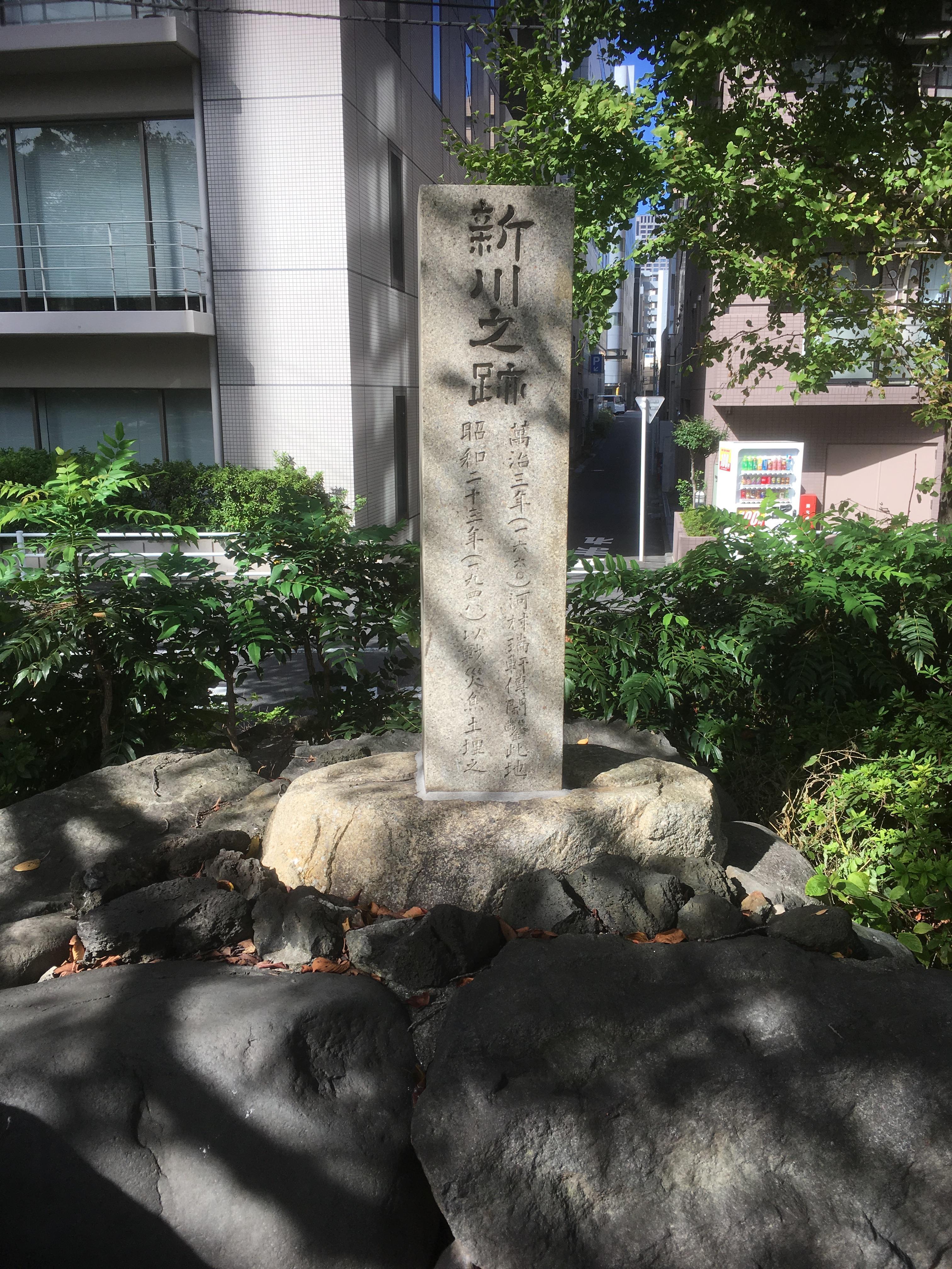
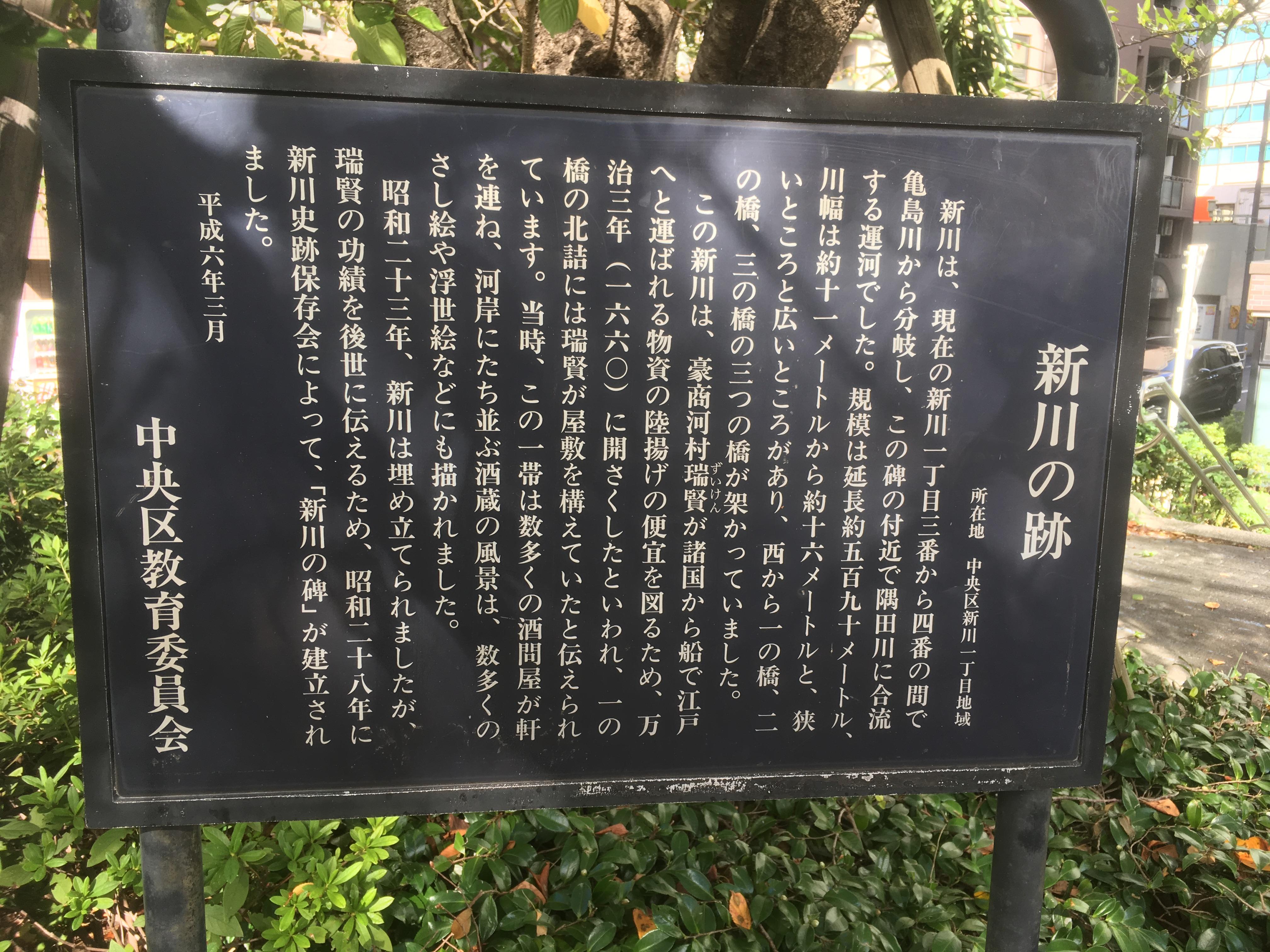
Sakuragawa was called "Yachimachibori" in the Edo period. (It is said that the length from the estuary was a moat in about eight towns. And the current notation has been changed to "Hatchobori". ) Then, in 1880 (1880), it was changed to Sakuragawa by Tokyo Metropolitan Government. It is said that "Sakuragawa" was changed to "Kaedegawa". Shin-Sakurabashi, Sakurabashi, Nakanohashi, Hatchobori Bridge, and Inari Bridge were bridged. Sakuragawa joined the Kamejima River (Minato 1-chome) from the junction of the Kaede River and the Kyobashi River, at the time of Danshobashi (Shintomi 1-chome). Landfill construction of Sakuragawa began in 1960 (1960), and construction up to Hatchobori Hashimoto-ryu was completed in 1972. And the estuary that had been left until the end was reclaimed in 1986 (1986), and Sakuragawa will disappear.

IMG_1824.JPGIMG_1825.JPG

IMG_1818.JPG

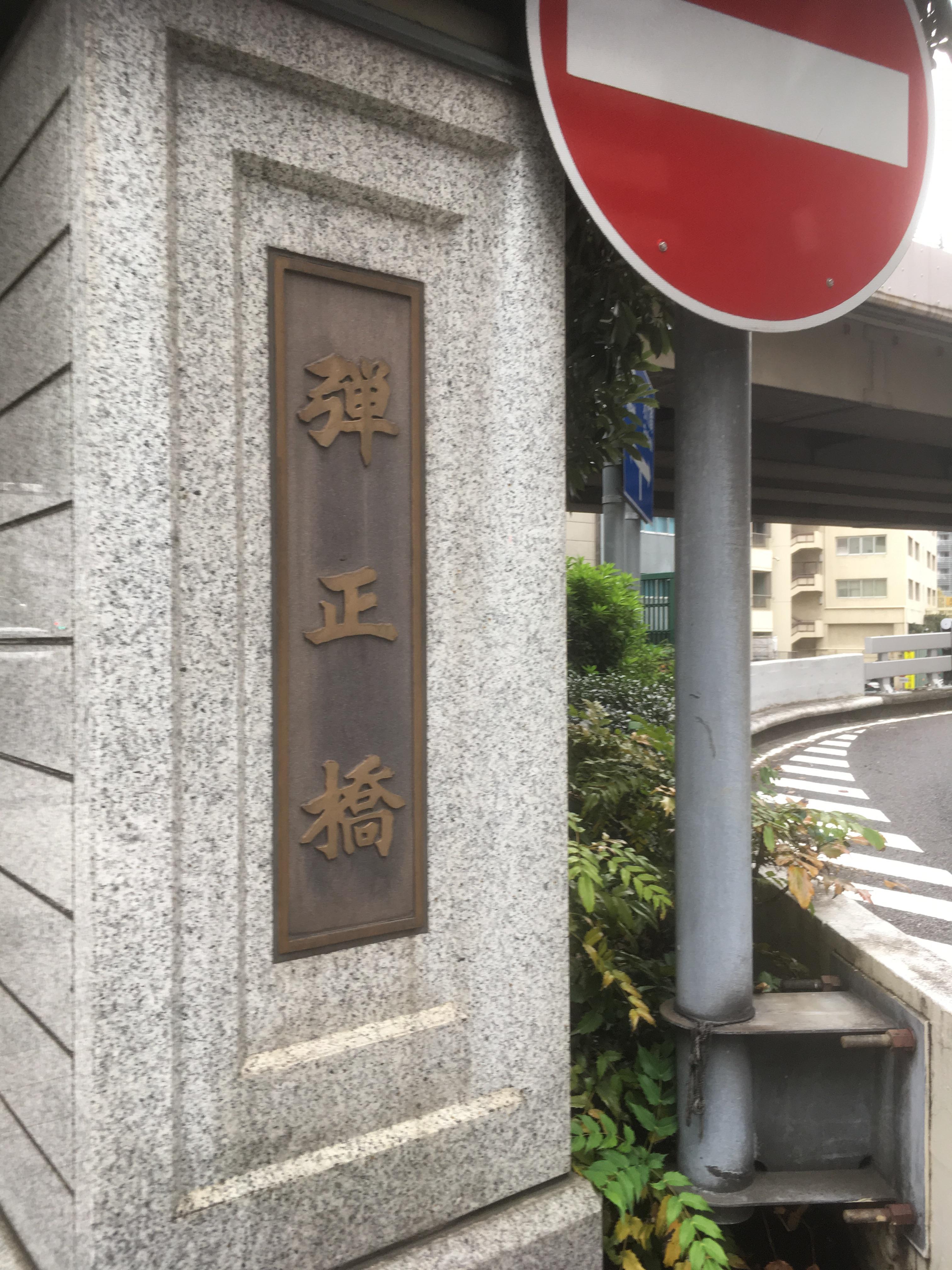
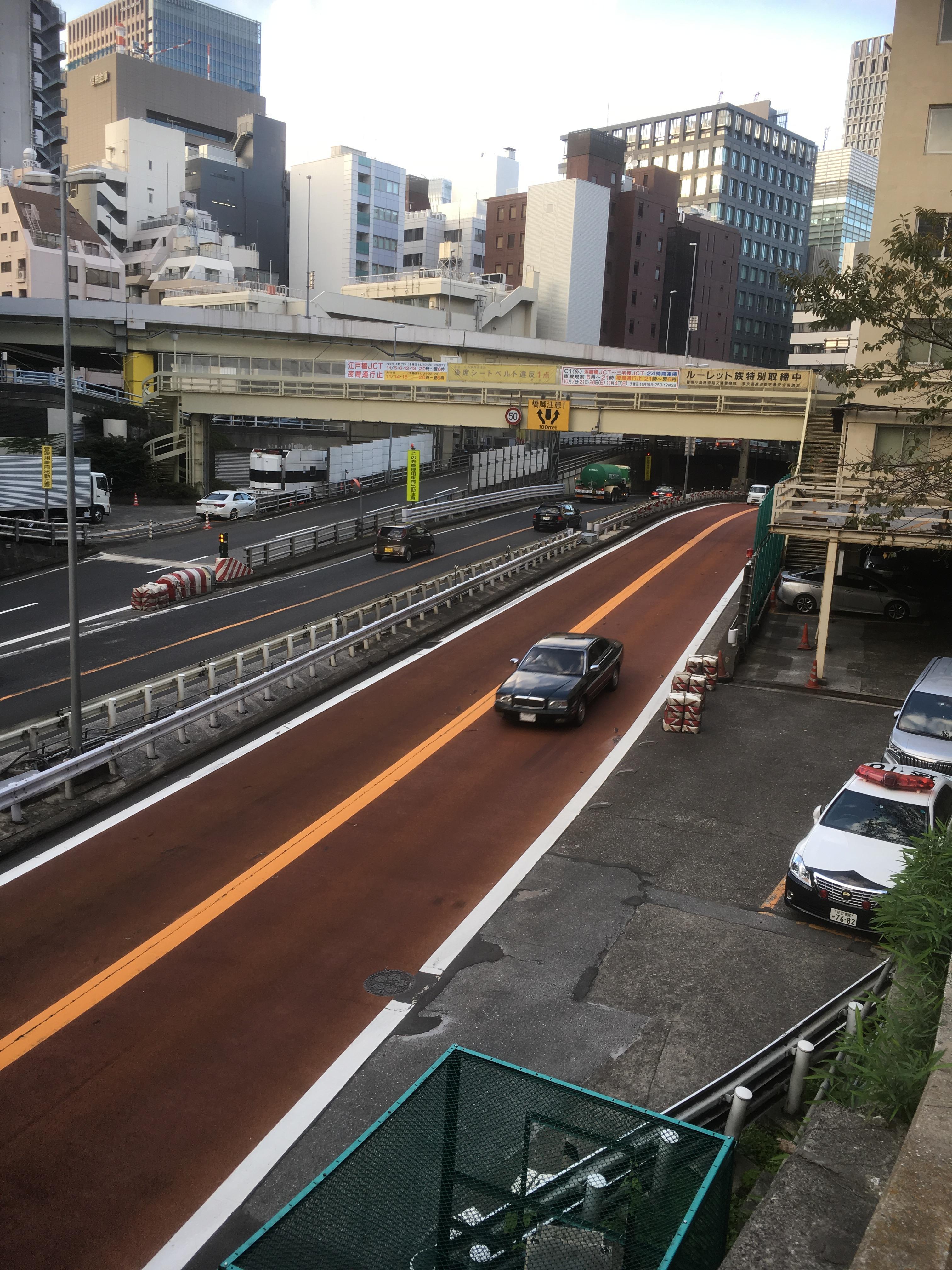
It will be a start from Dansho Bridge. The Kaede River originally flows under the Dansho Bridge, and Sakuragawa starts at the time of this bridge. At present, Kaedegawa is at the Metropolitan Expressway, and cars were flowing instead of water. And when it comes to Danshobashi, it is famous as one of "Mitsuhashi". You may go to the 11th Chuo-ku Tourism Test next year. If you have forgotten it, you need to review it.

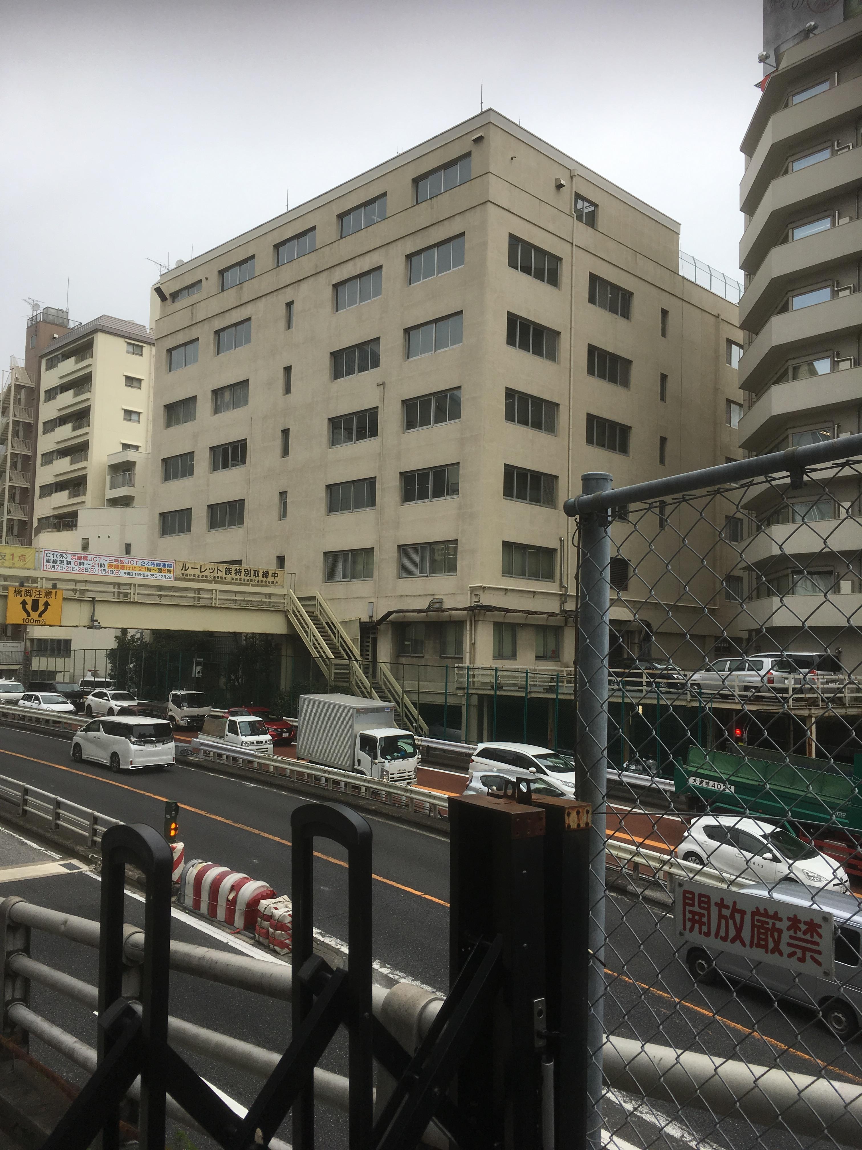
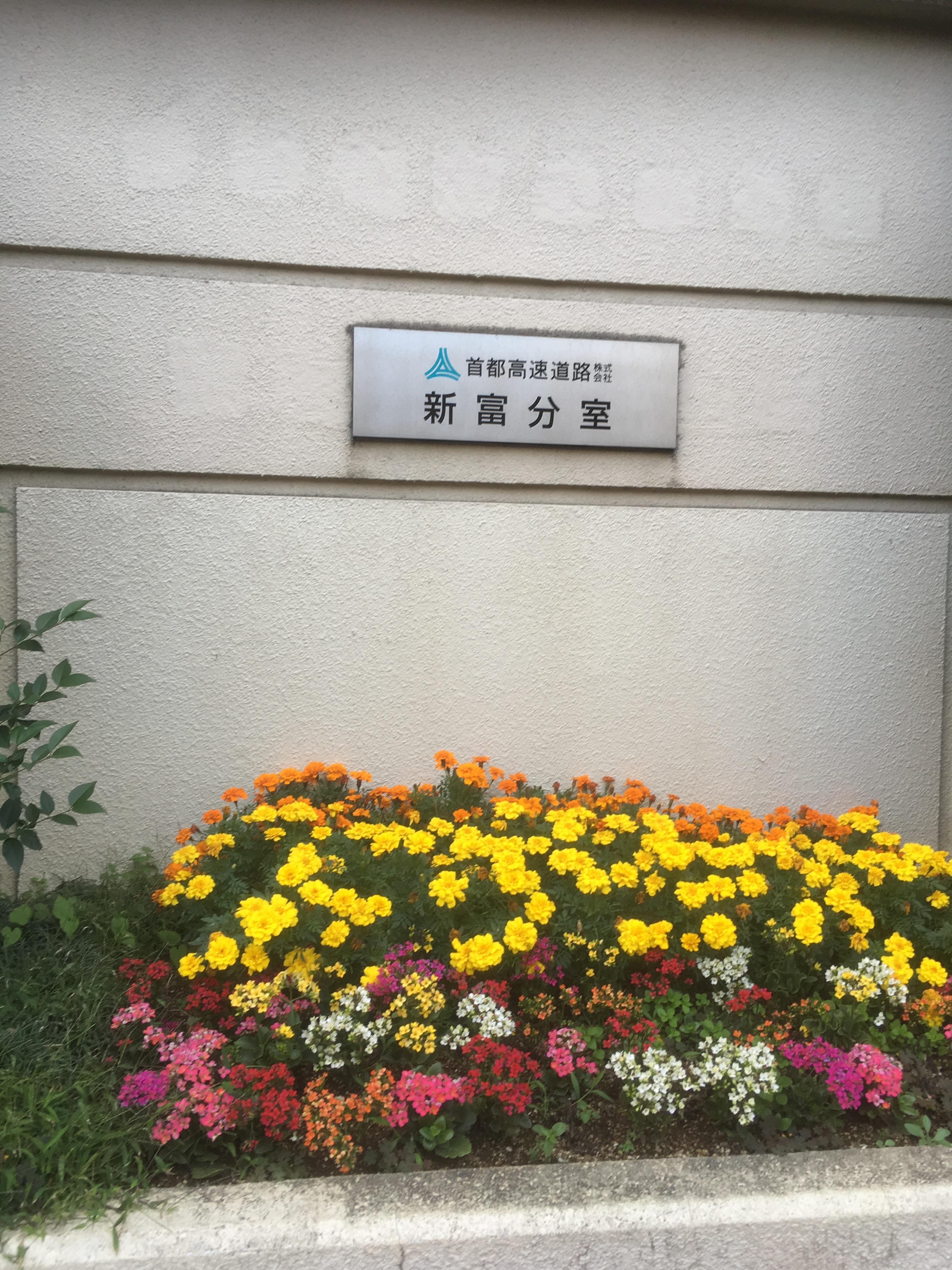
Currently, at the confluence of Sakuragawa and Kaedegawa, the buildings of the Metropolitan Expressway Co., Ltd. Shintomi Branch Office and the Metropolitan Police Department Expressway Traffic High Speed Police Corps are built.

IMG_1755.JPGIMG_1756.JPG

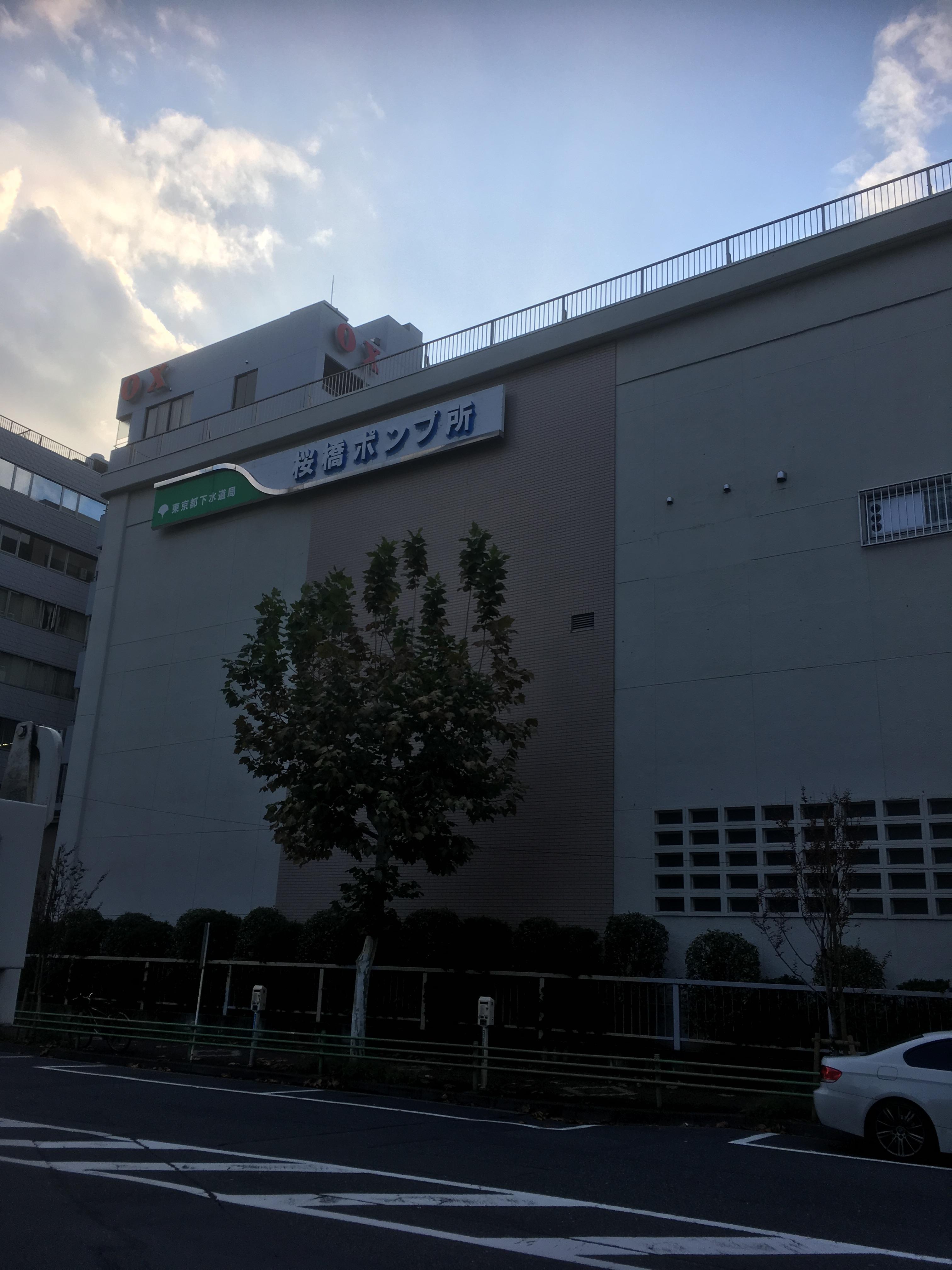
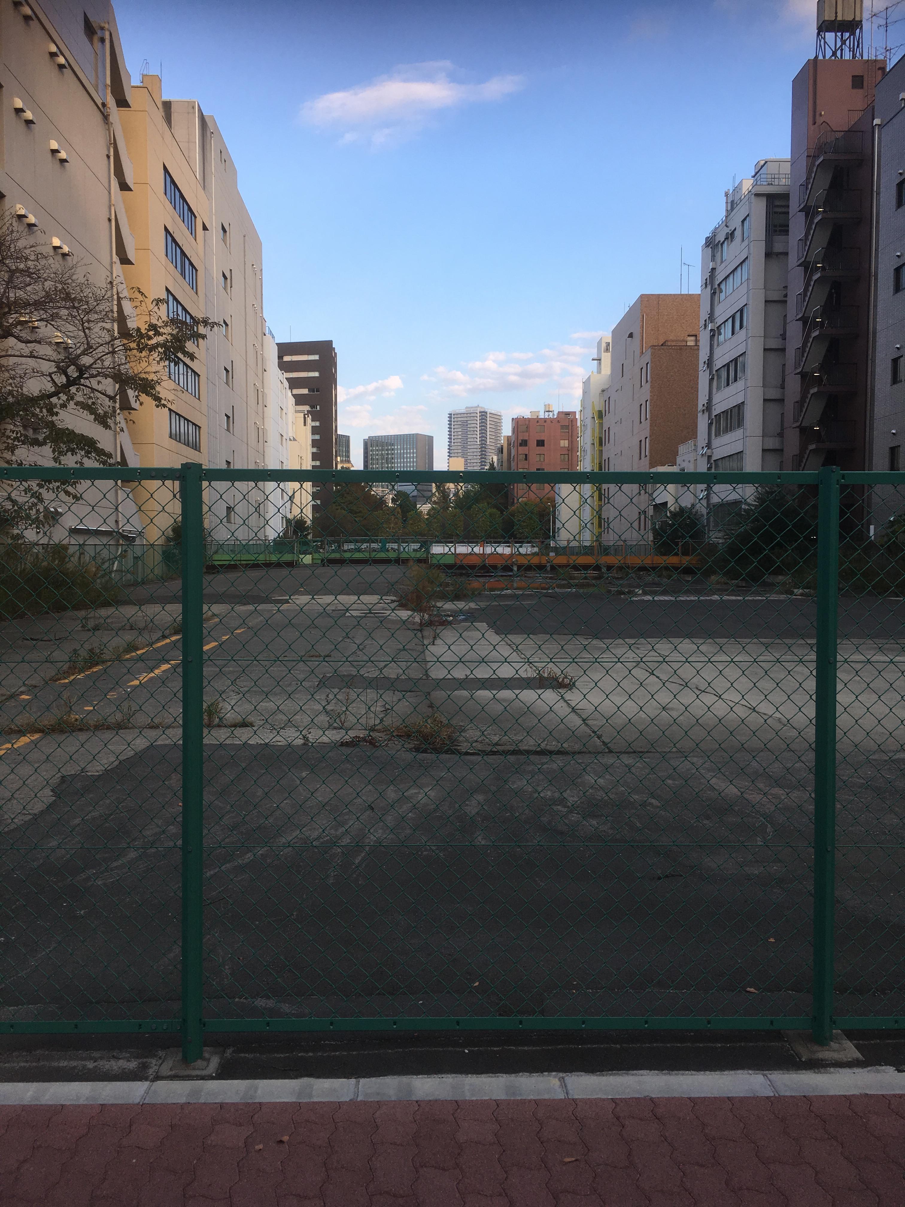
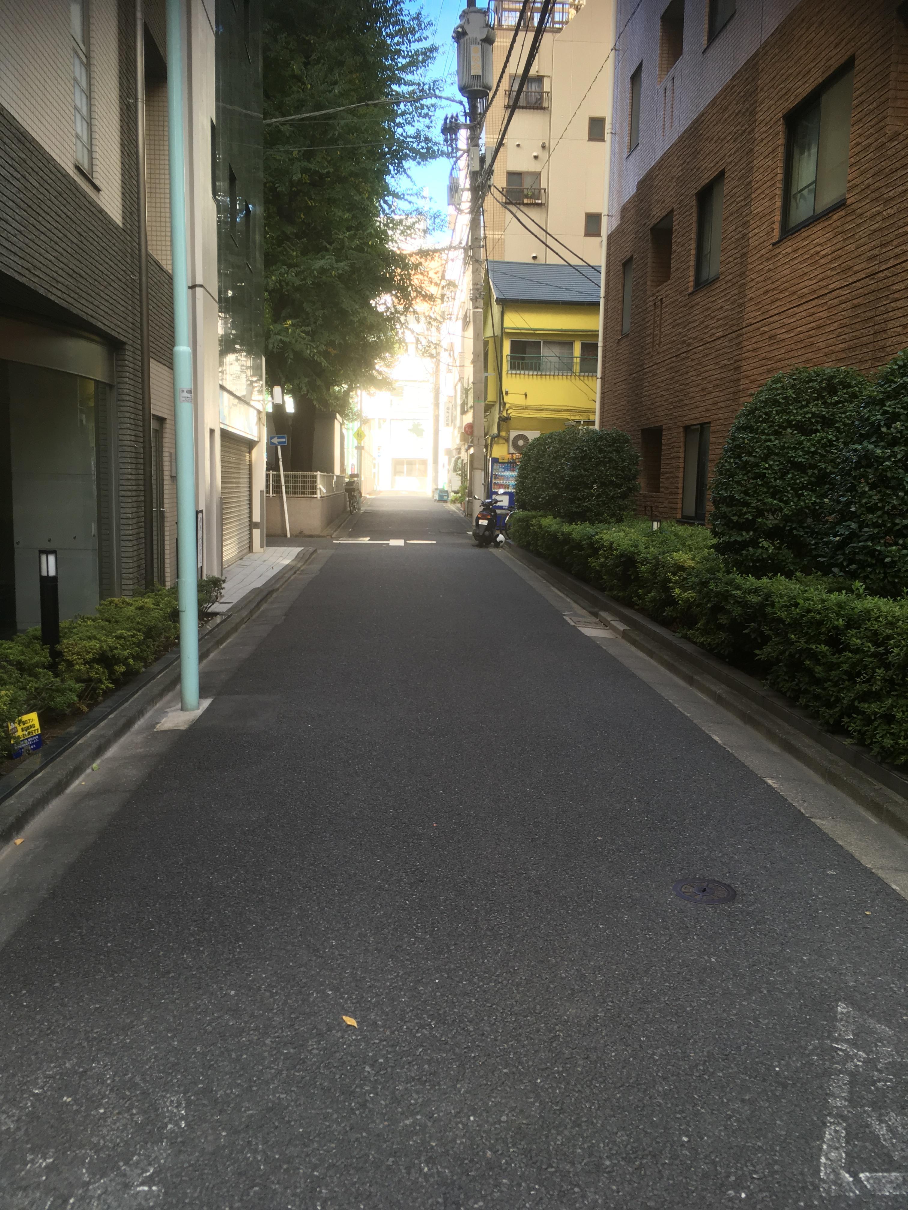
From Shin-Sakurabashi, go toward Hatchobori, and it is near Sakurabashi. The lower left is a photo of Sakurabashi pumping station. And the lower right is the site of Labor Square Tokyo. All of them were located on the site of Sakuragawa.

It seems that there is a plan to build a base facility for lifelong learning centered on the library on the site of Labor Square Tokyo.

IMG_1764.JPGIMG_1765.JPG

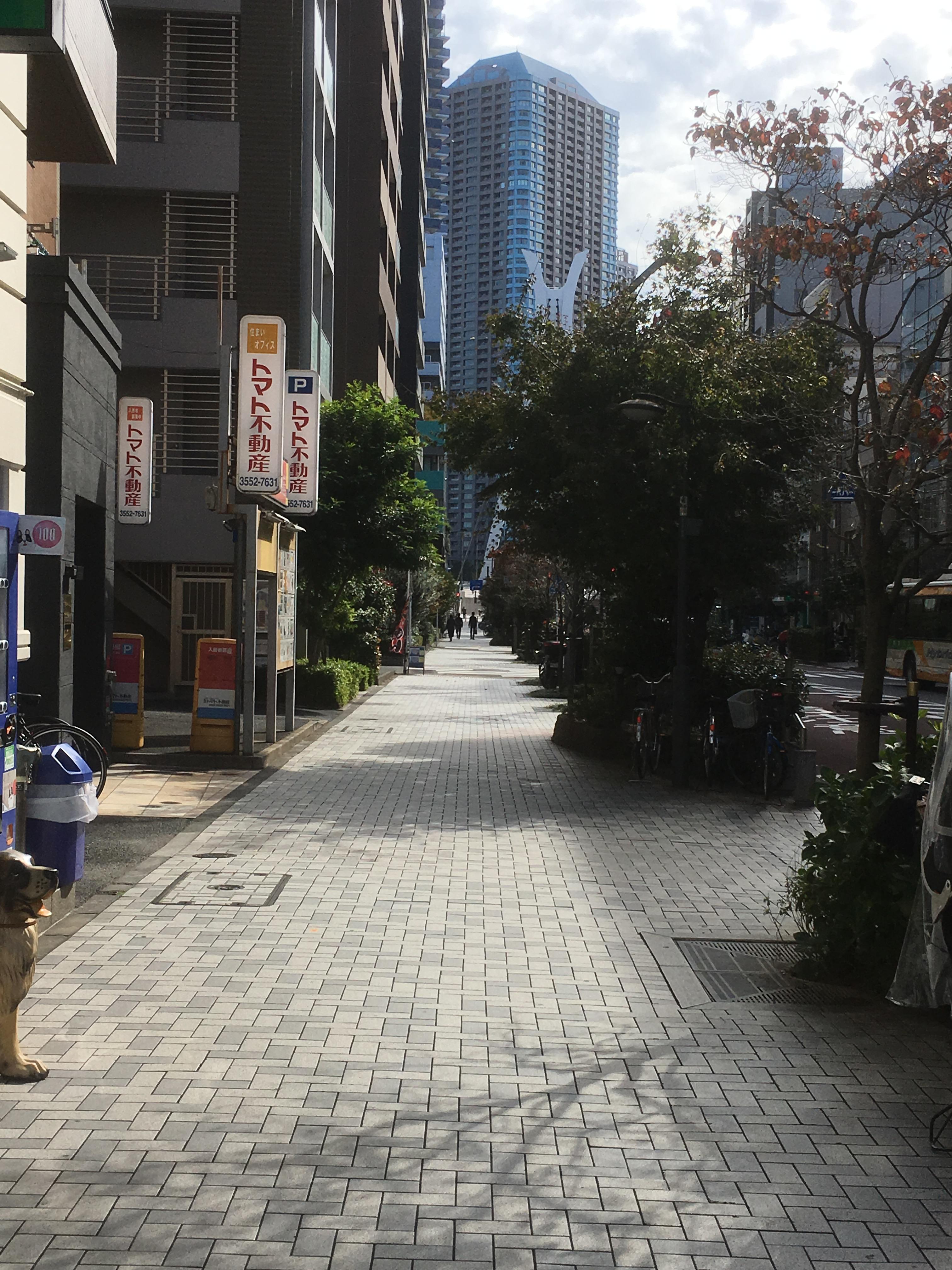
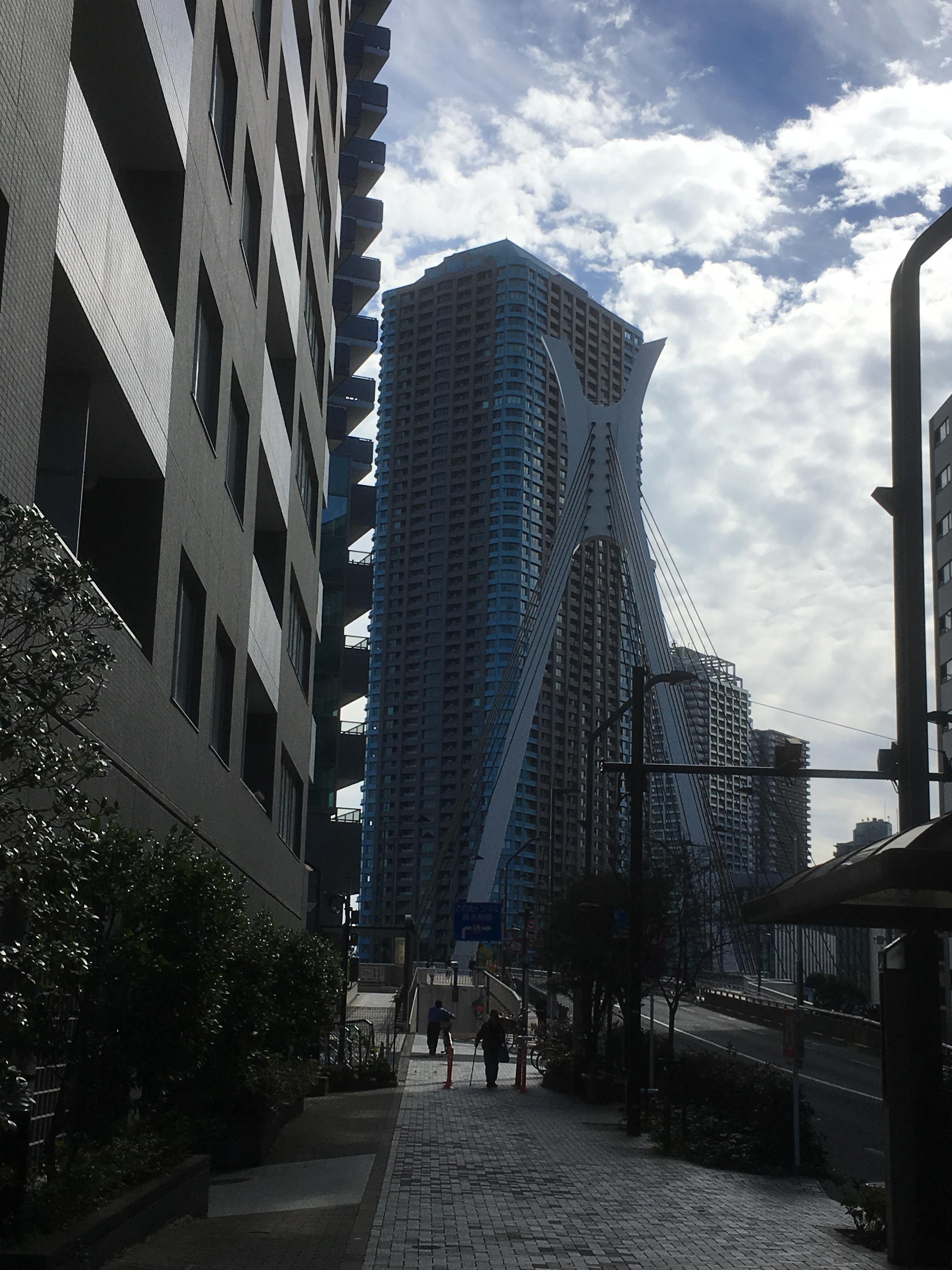
Then, from the vicinity of Sakurabashi, follow Kajibashi-dori toward Hatchobori.

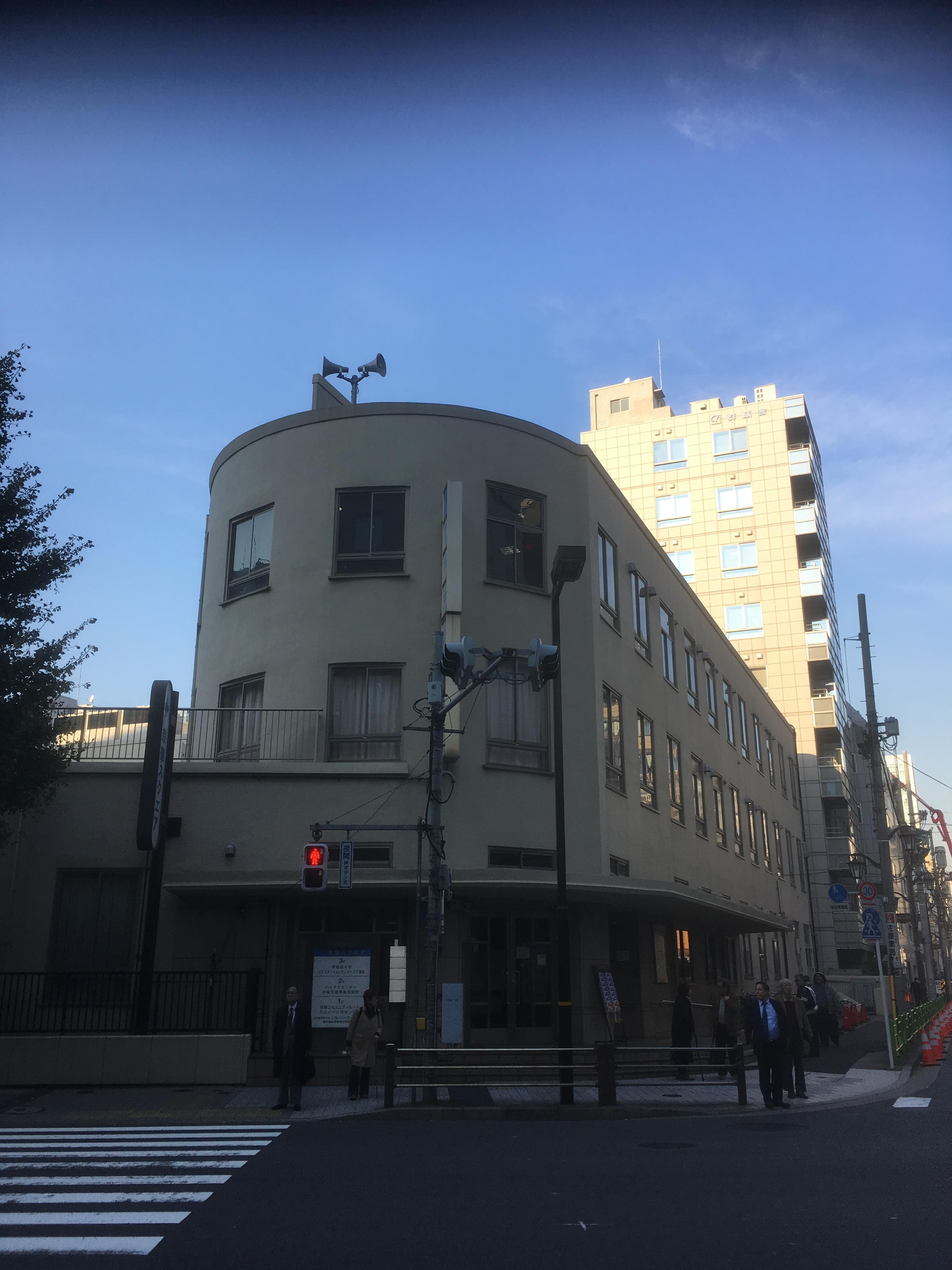
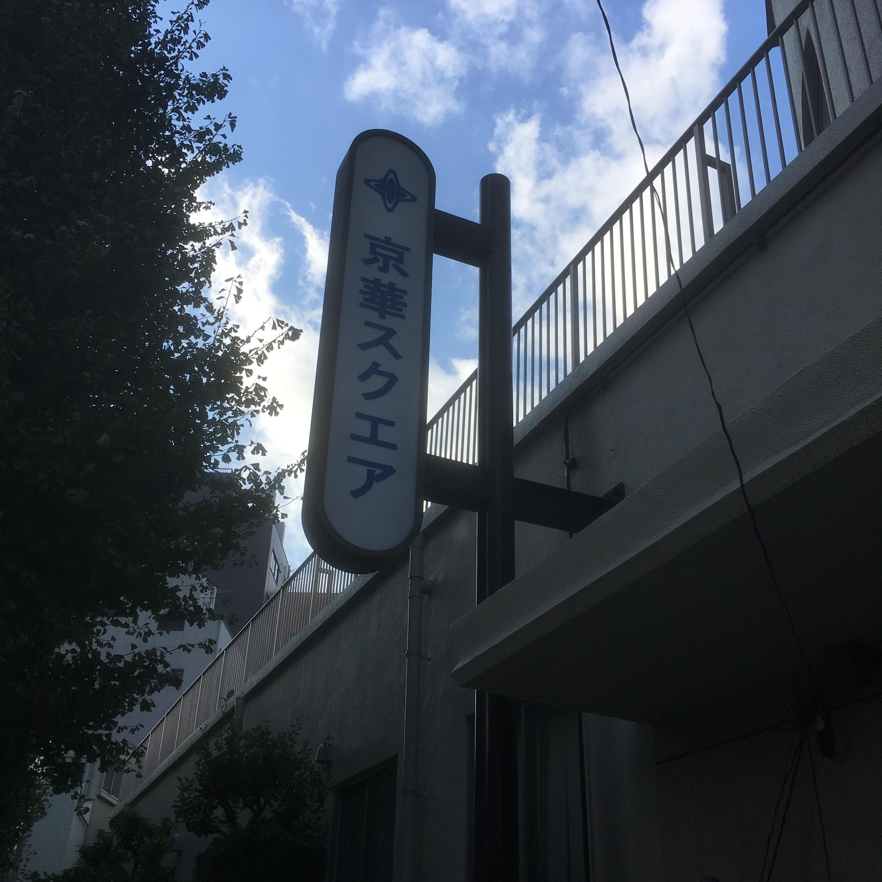
You can see Keika Square on your right hand. Originally, where Keika Elementary School was located, there is still a quaint building, such as using curves with a large curved corner.

IMG_1838.JPGIMG_1754.JPG

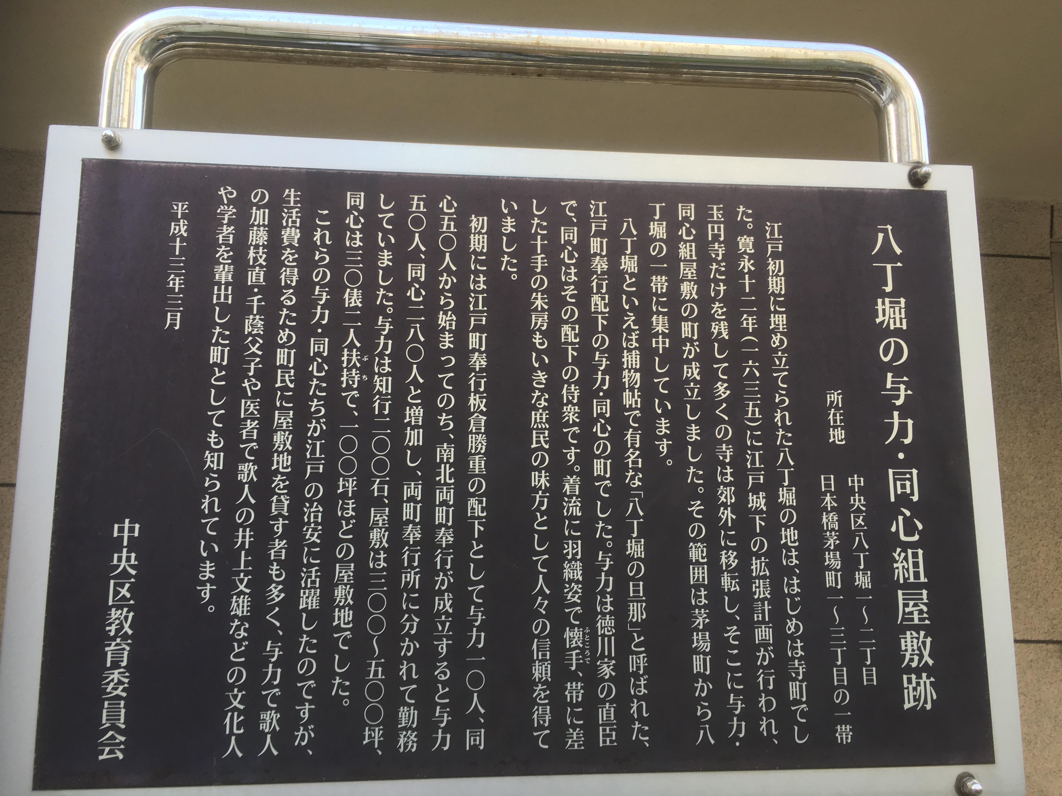
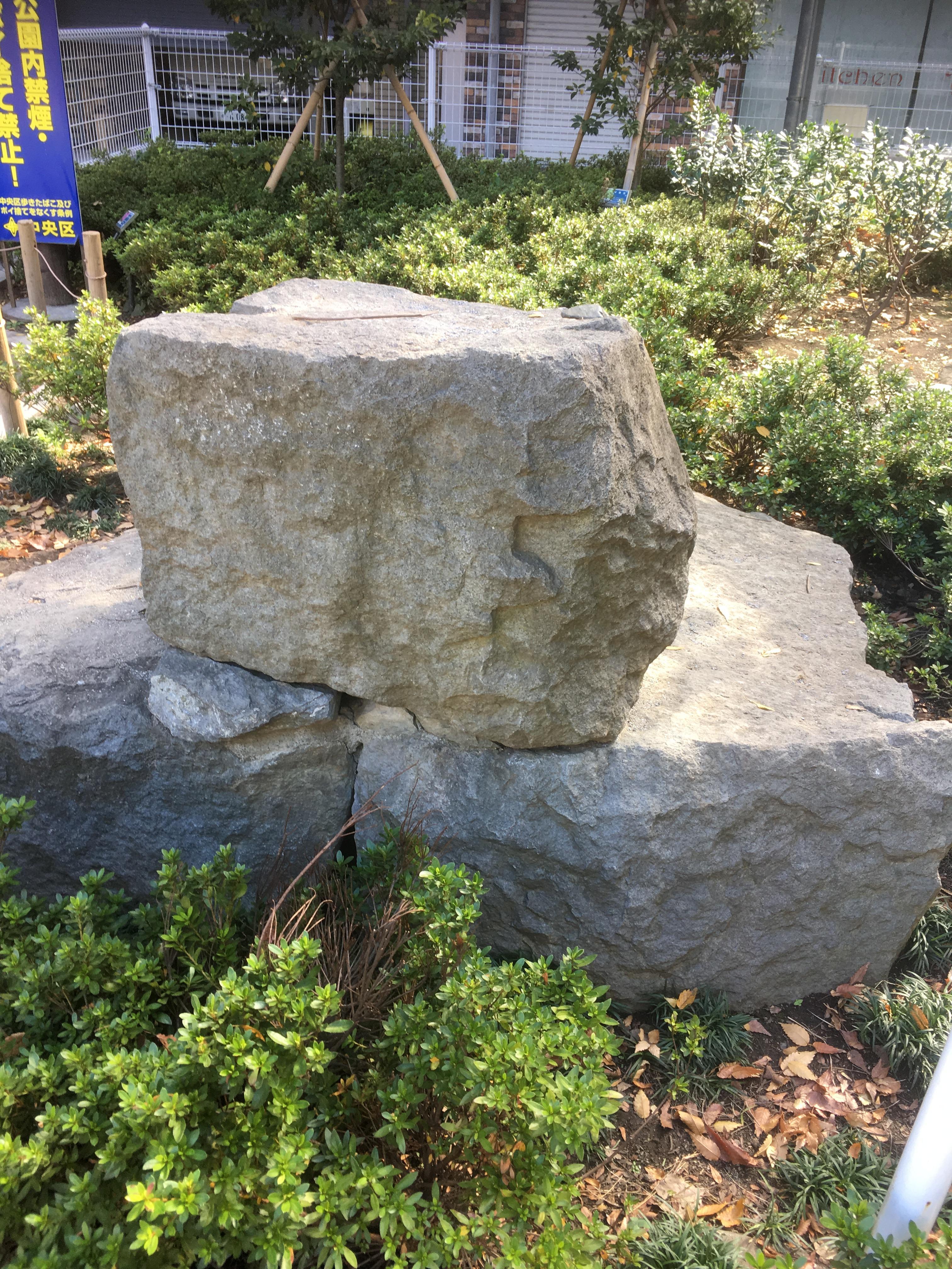
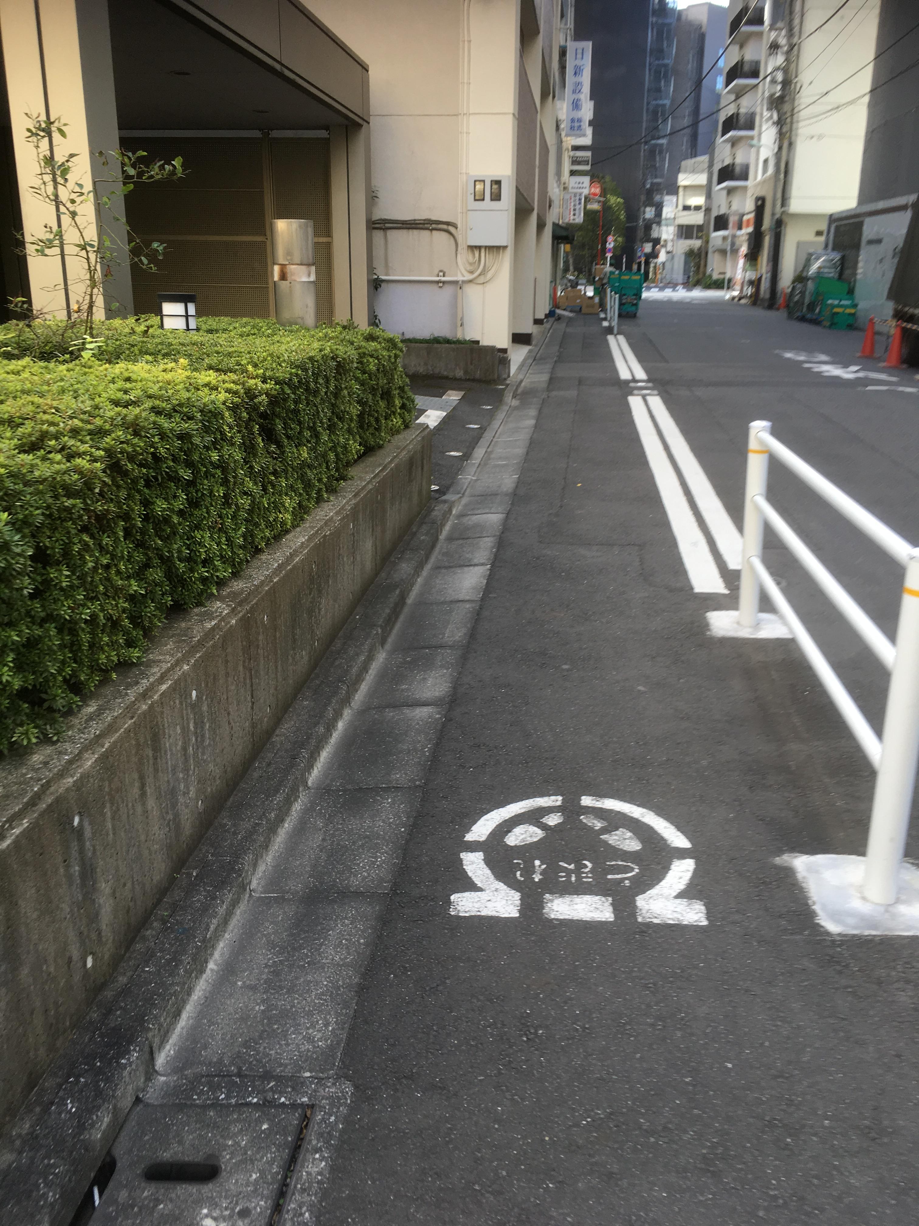
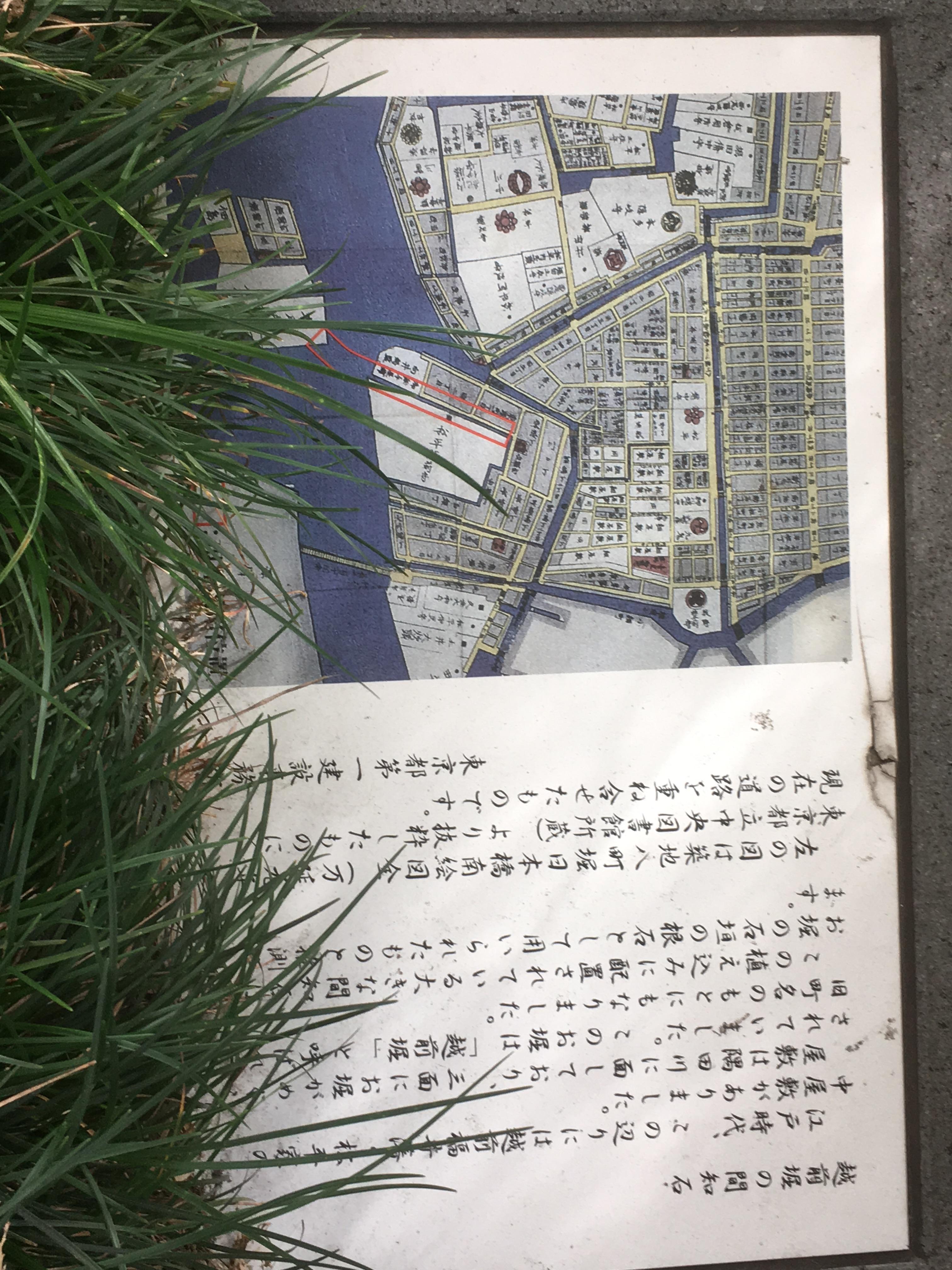
In front of this Keika Square, there is an explanation board for "Hatchobori's Powerful / Concentric Kumiyashiki Ruins".

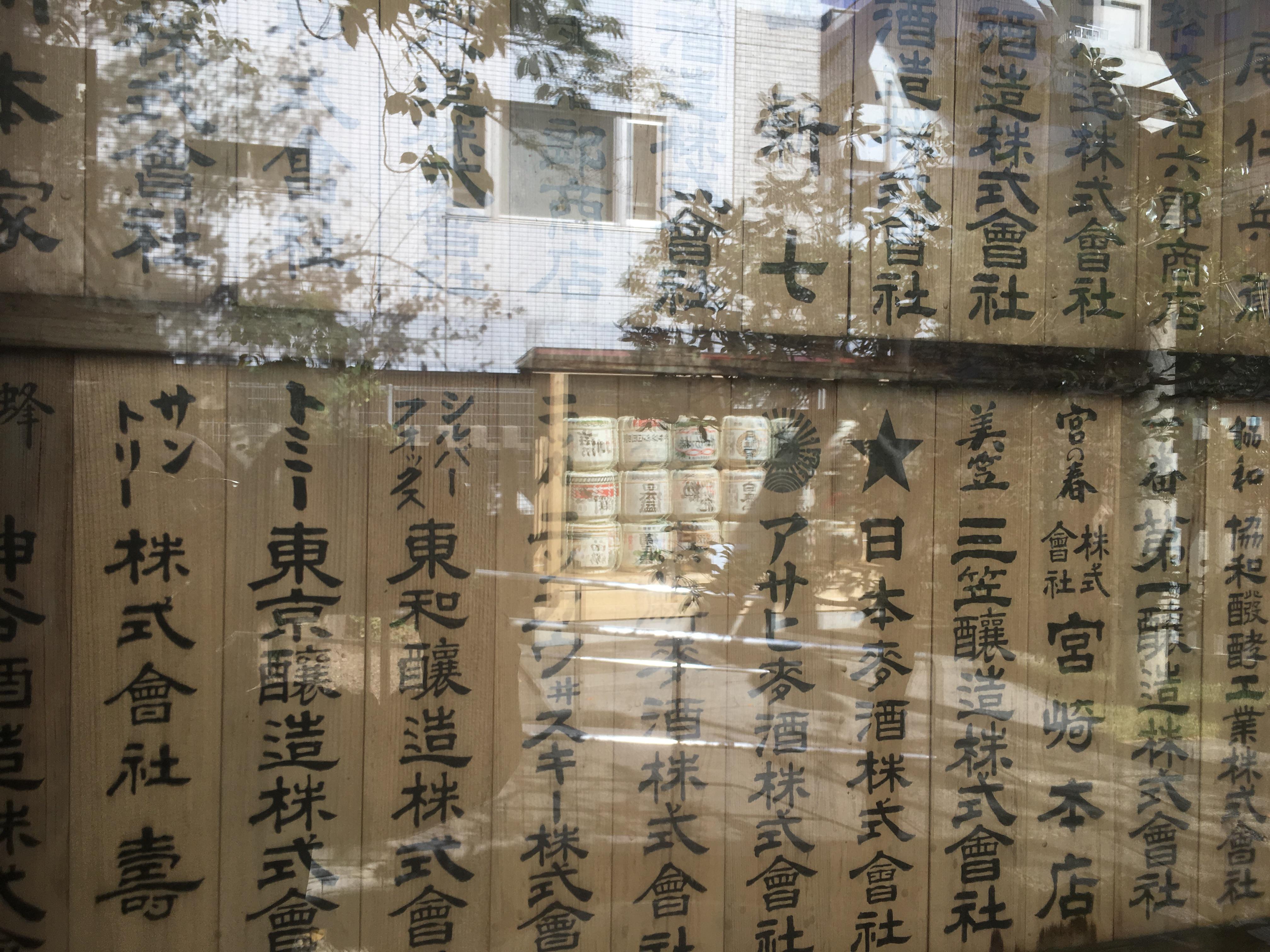
Speaking of Hatchobori, it is synonymous with the powers and concentrics under the town magistrate, and when I was young, I remember that lines such as "Yachimachibori's husband" were used. .

It means that power and concentric mansions were concentrated near Kayabacho from the northern shore of this "Yachimachibori".

IMG_1753.JPG

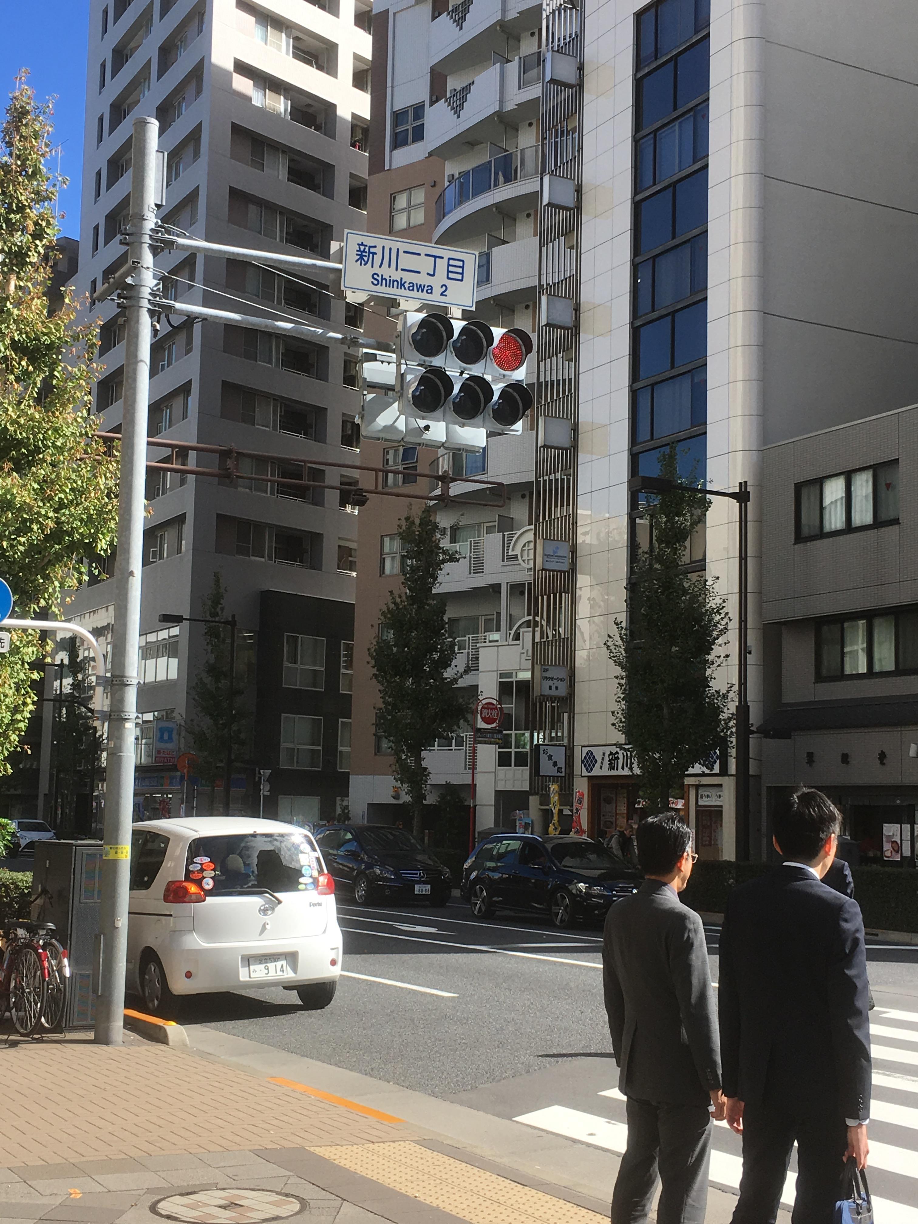
And when you walk to Shin-ohashi-dori St., you will already be Hatchobori Station.

IMG_1831.JPGIMG_1769.JPG

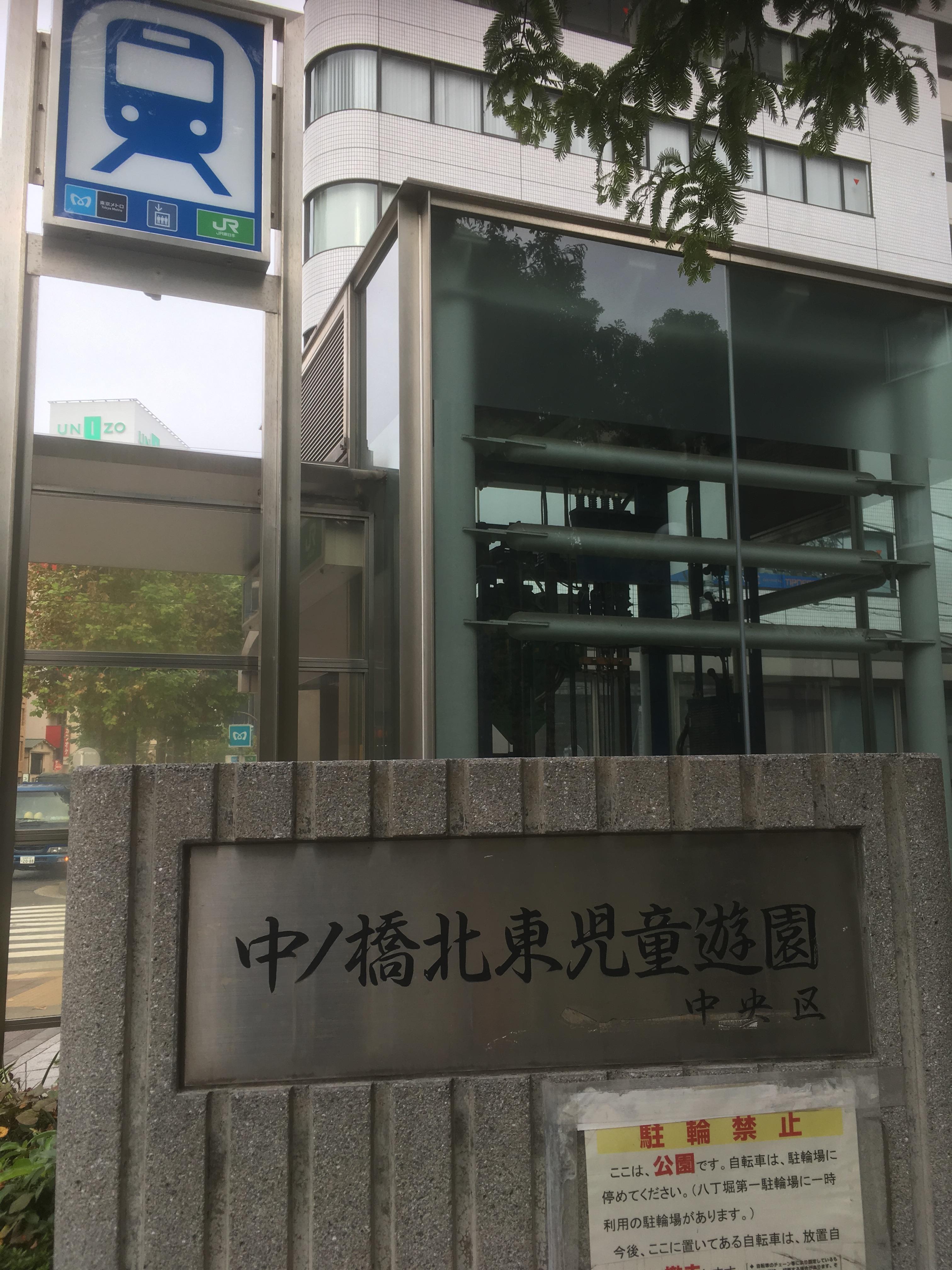
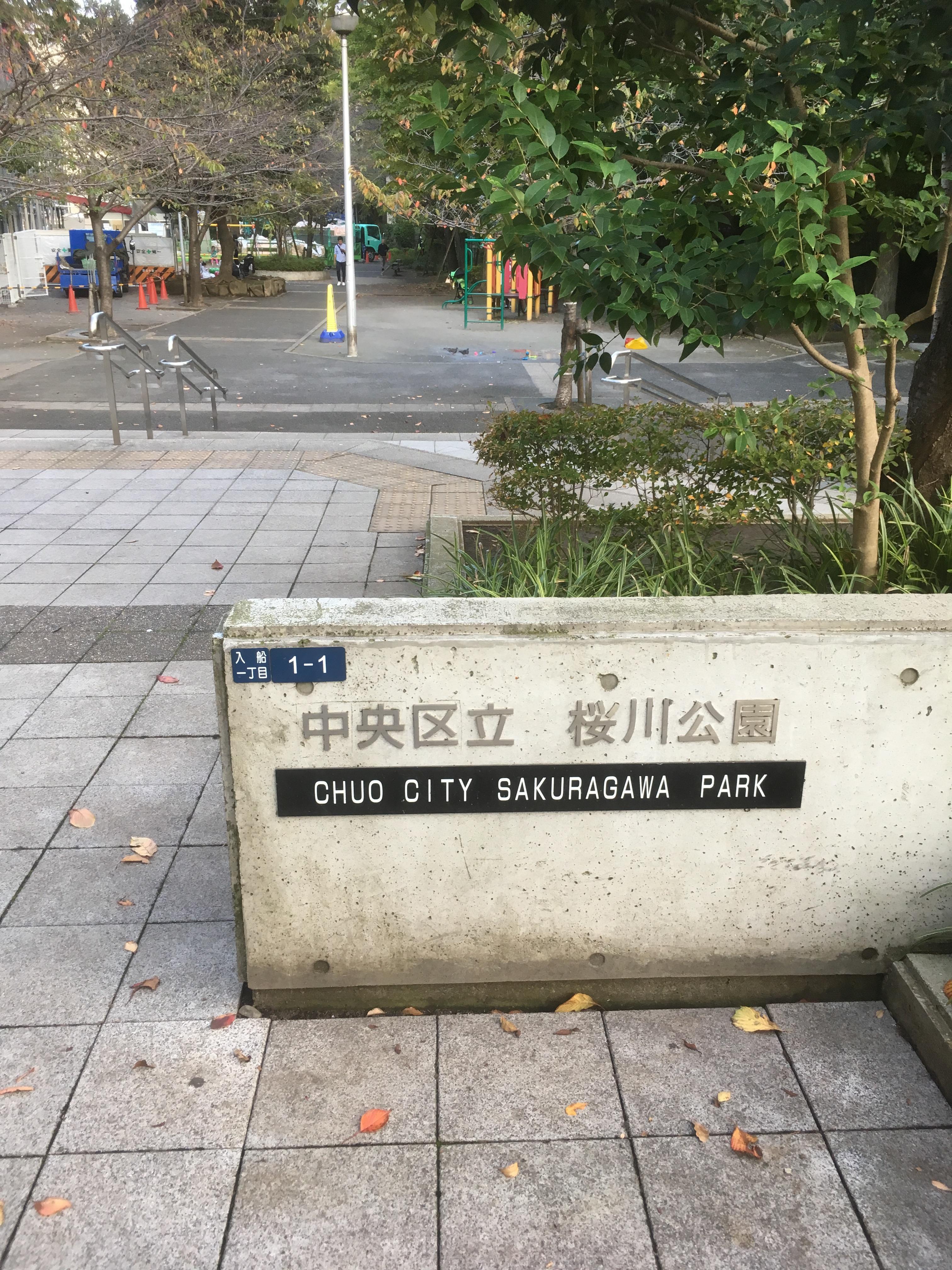
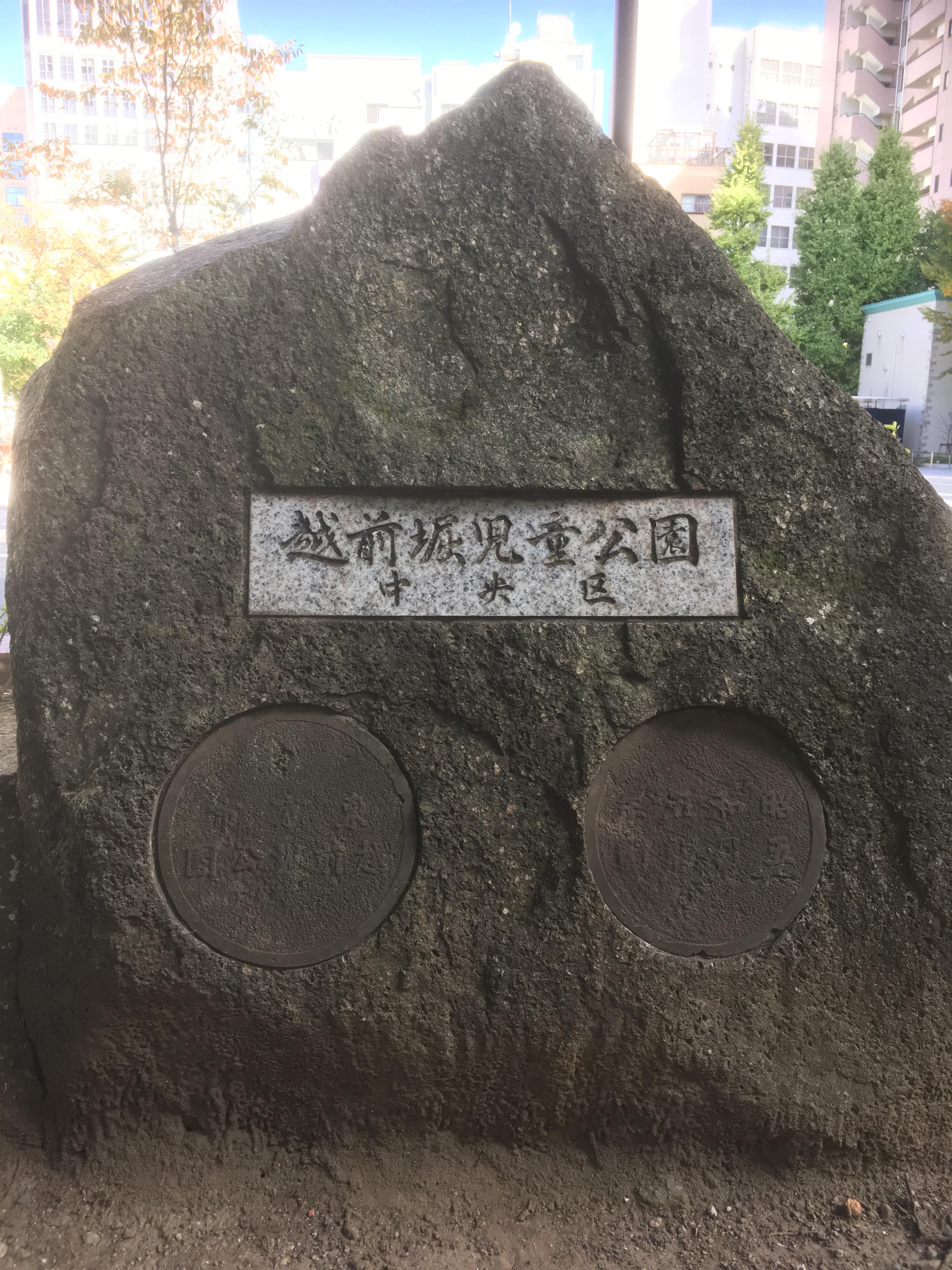
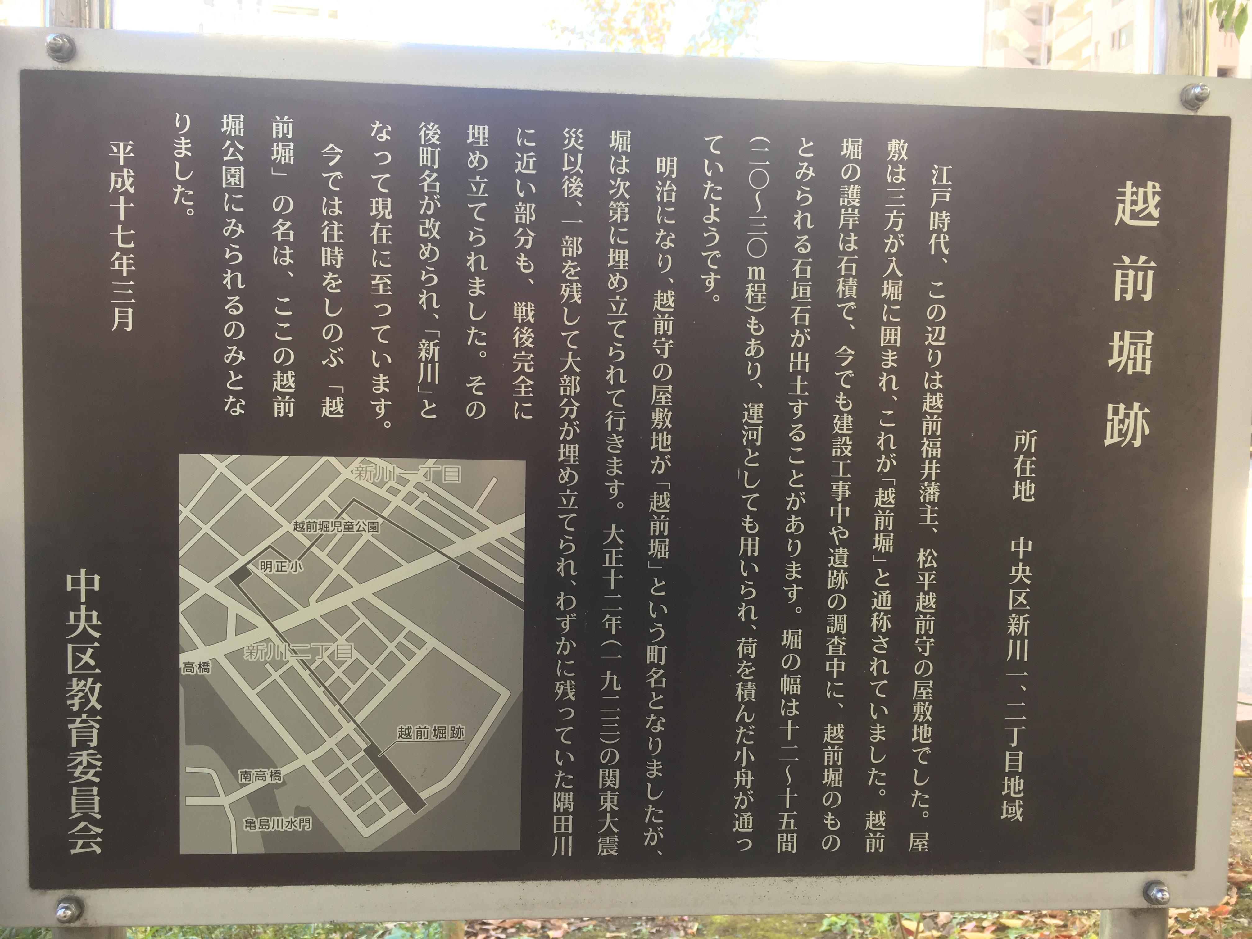
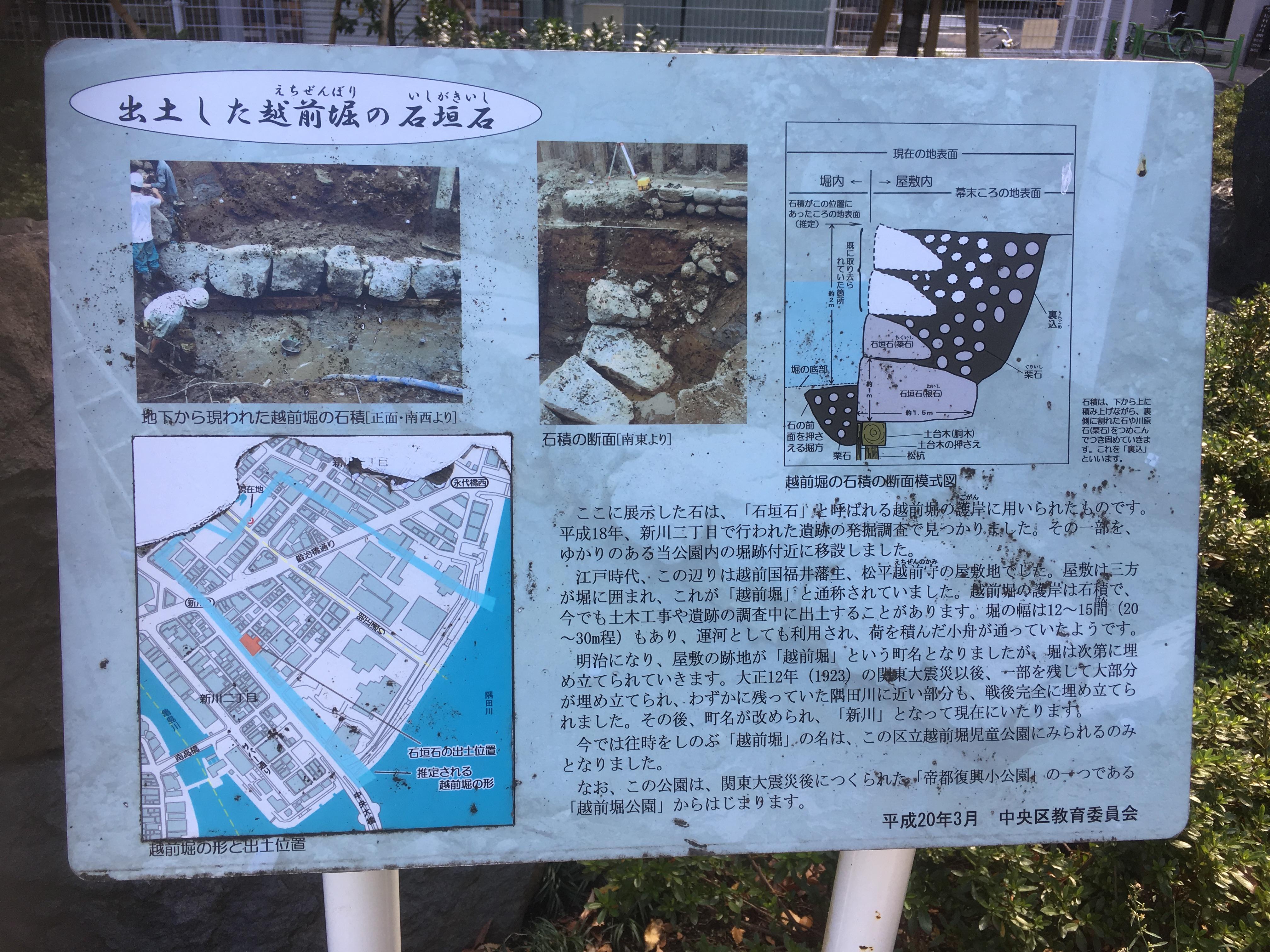
Immediately next to it, there were the nameplates of "Nakanohashi Tohoku Children's Amusement Park Chuo-ku" and "Chuo-ku Sakuragawa Park". . I thought it was a little strange, but I walked on the site of Sakuragawa this time! It's a great nameplate.

I used both of them. Yes, this Hatchobori station is near Nakanohashi, which was over Shin-ohashi-dori St.

IMG_1827.JPGIMG_1829.JPG

IMG_1840.JPG

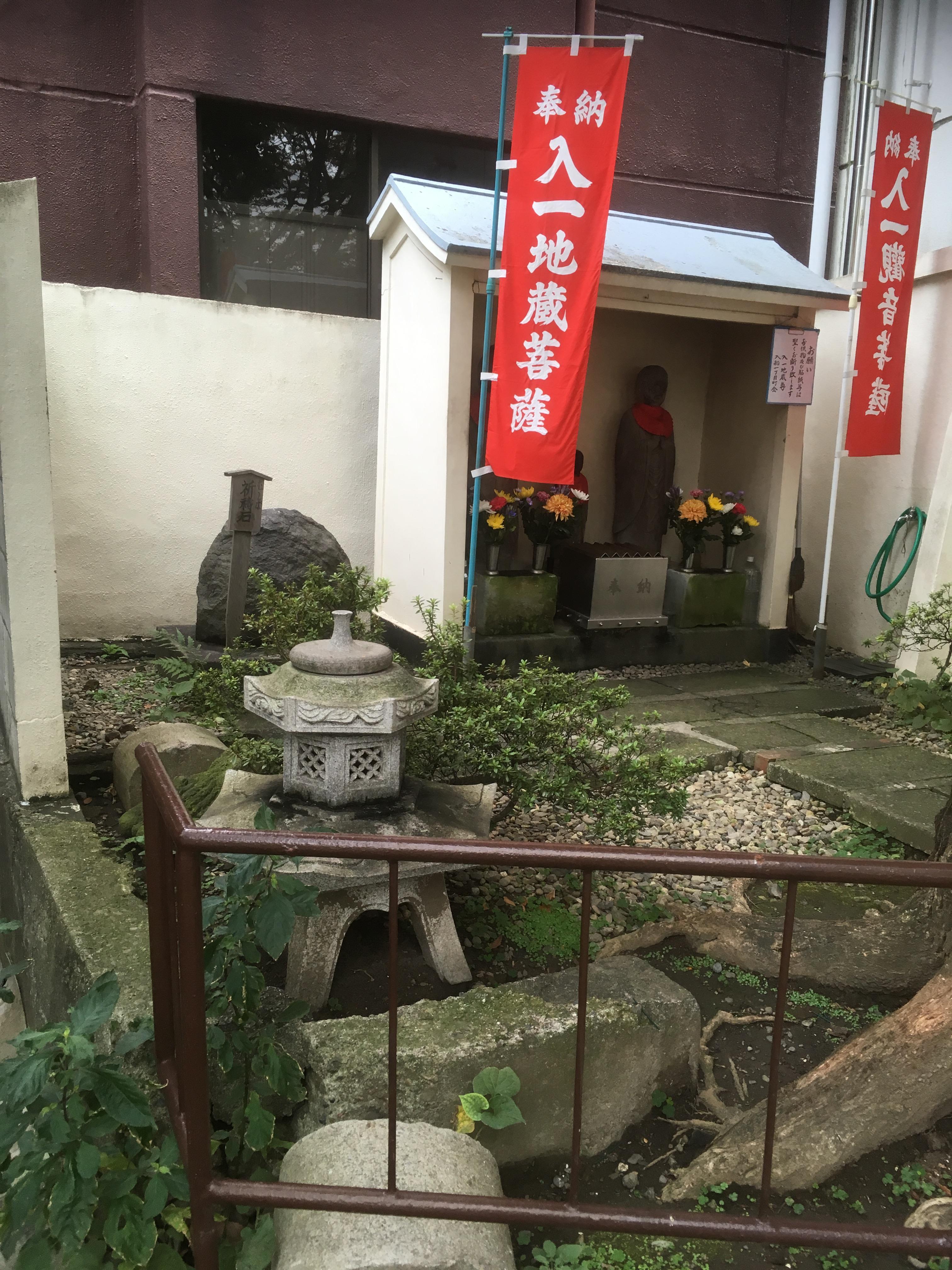
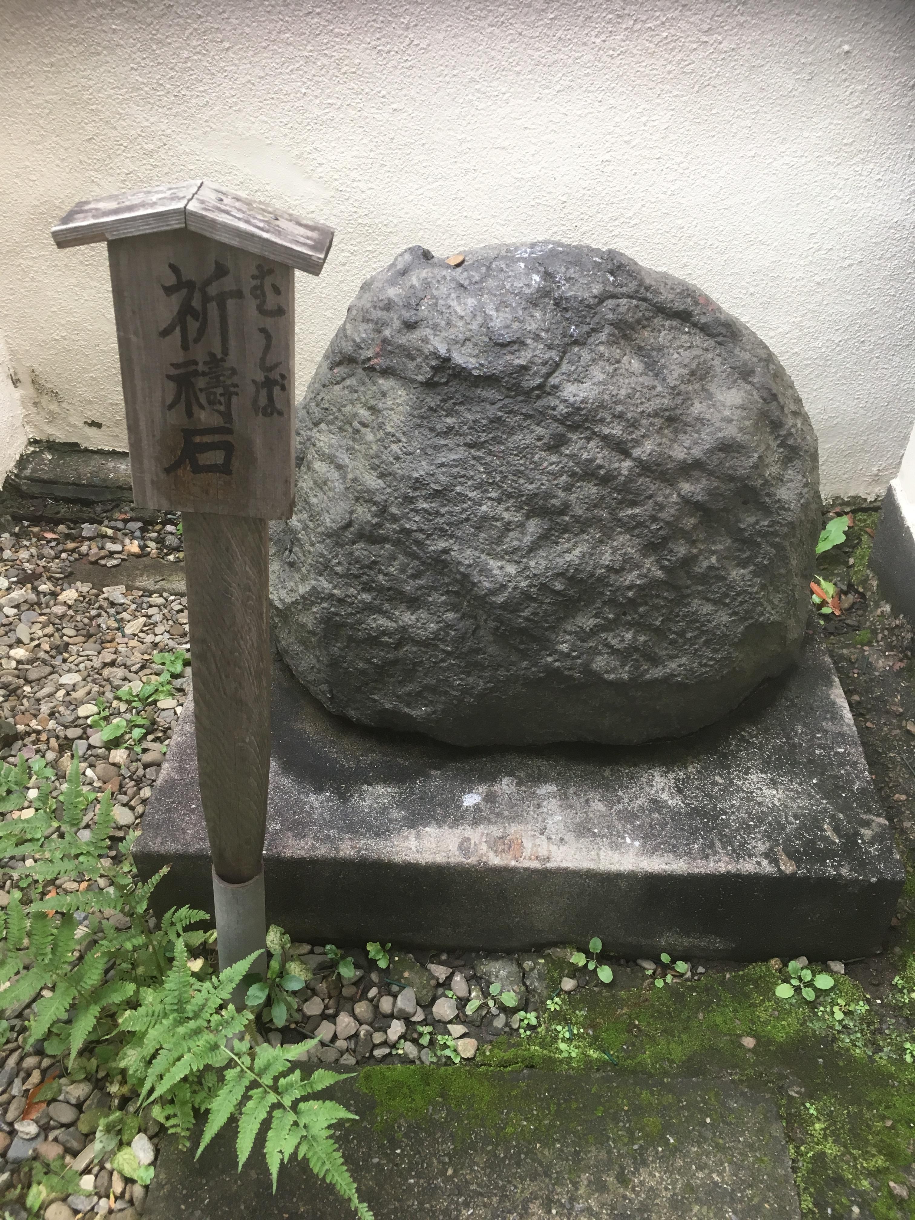
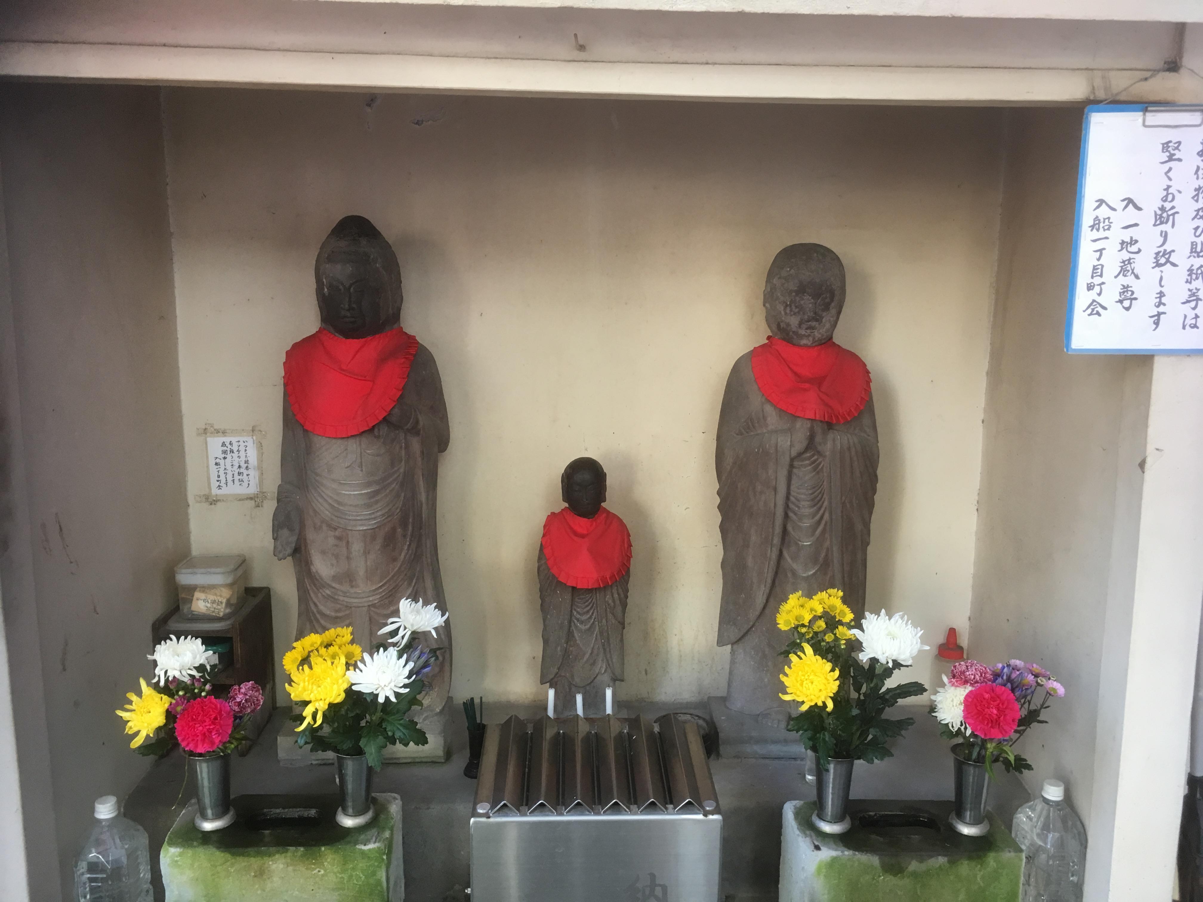
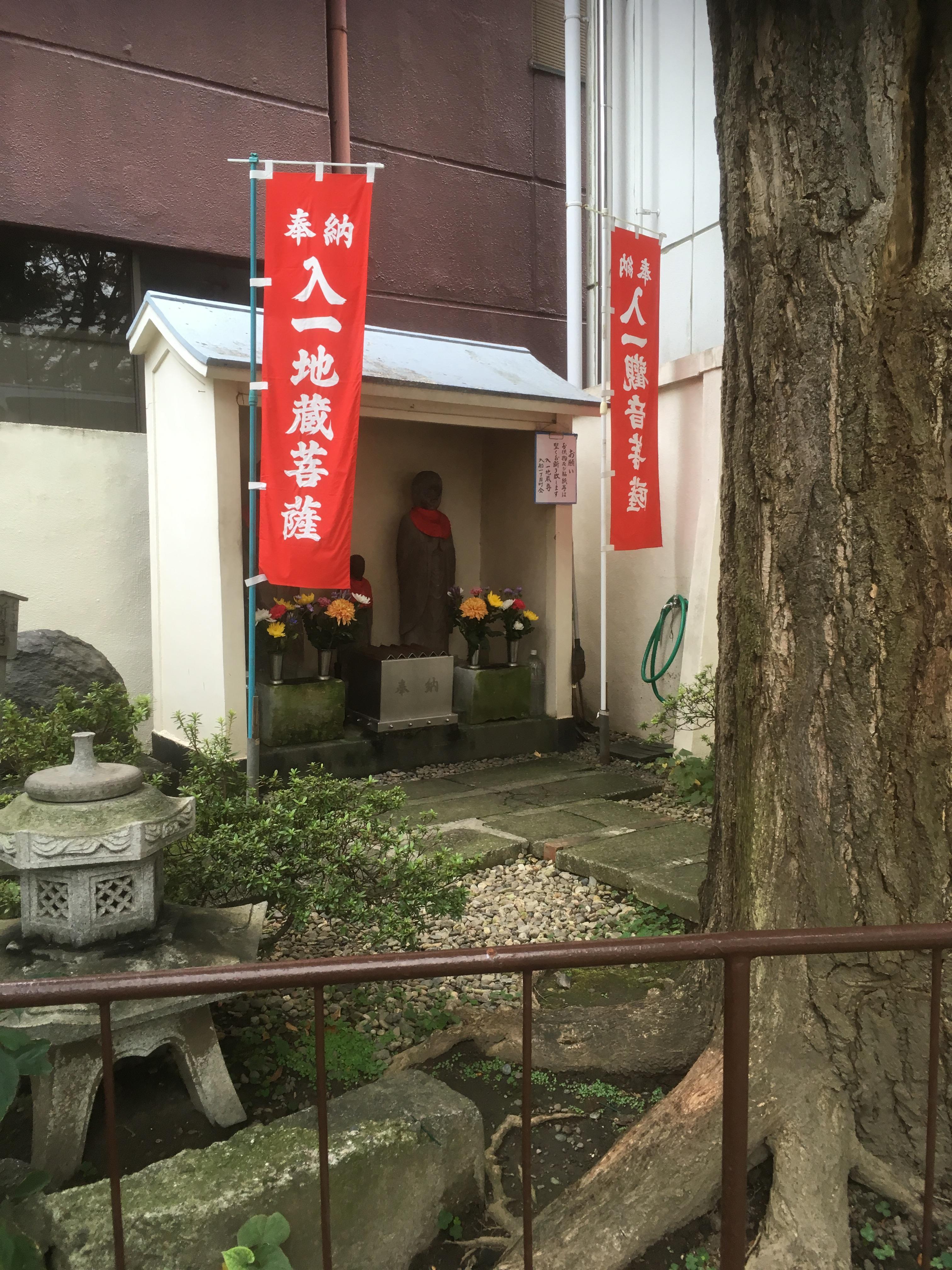
In the bridge at the entrance of Sakuragawa Park, there are Iriichi Jizo Bodhisattva and Iriichi Kannon Bodhisattva. I also looked into this guardian of children and travelers and Kannon.

It seems that there was before the Sakuragawa was reclaimed, but there was no clear material left when it was built. . It is said that it is still managed by the Neighborhood Association of Irifune instead of Chuo-ku. Also, next to Jizo and Kannon, there is a tooth decay prayer stone, and those whose teeth hurt prayed for healing. I was able to get a glimpse of the Japanese folk religion.

IMG_1832.JPG

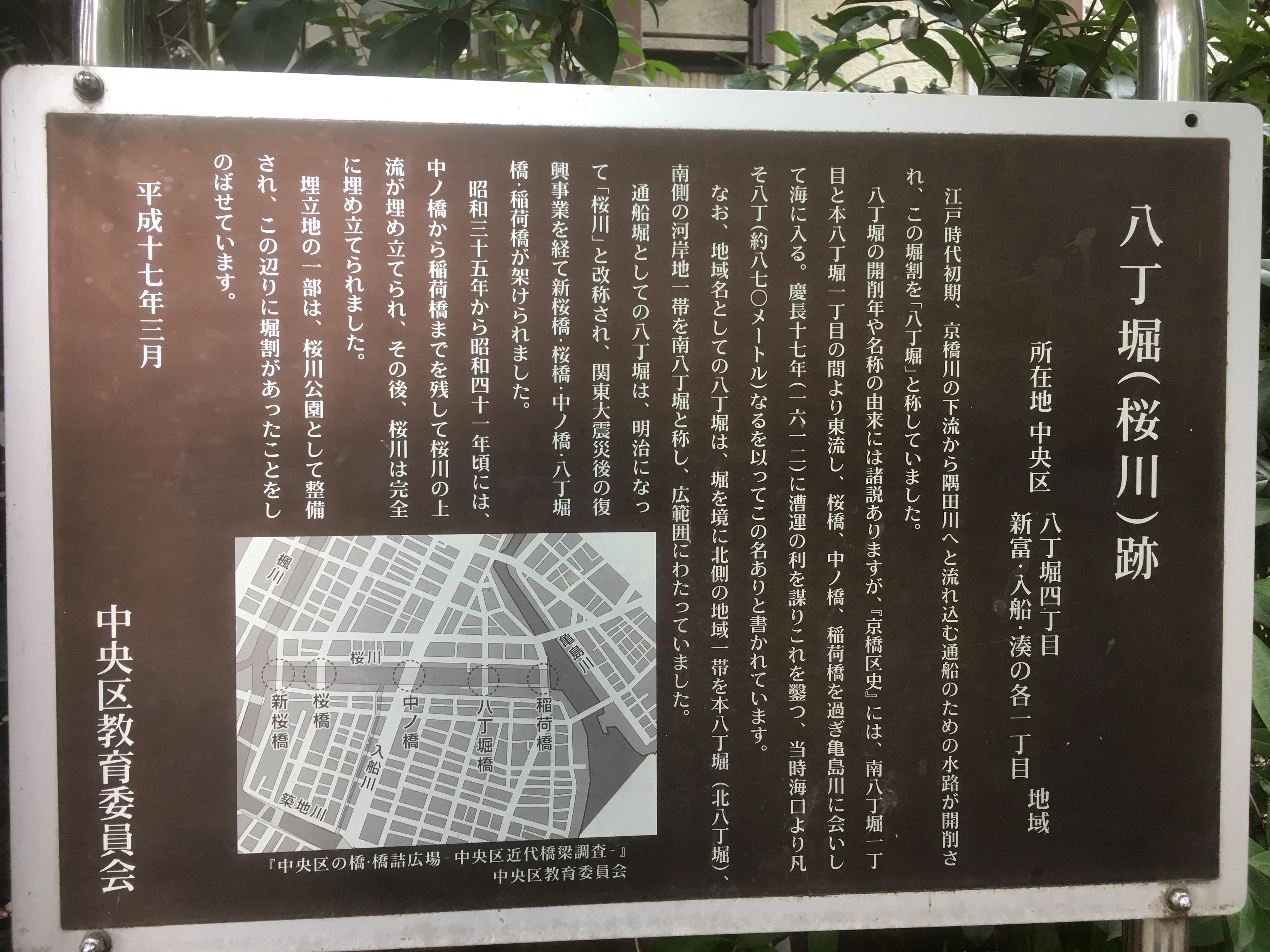
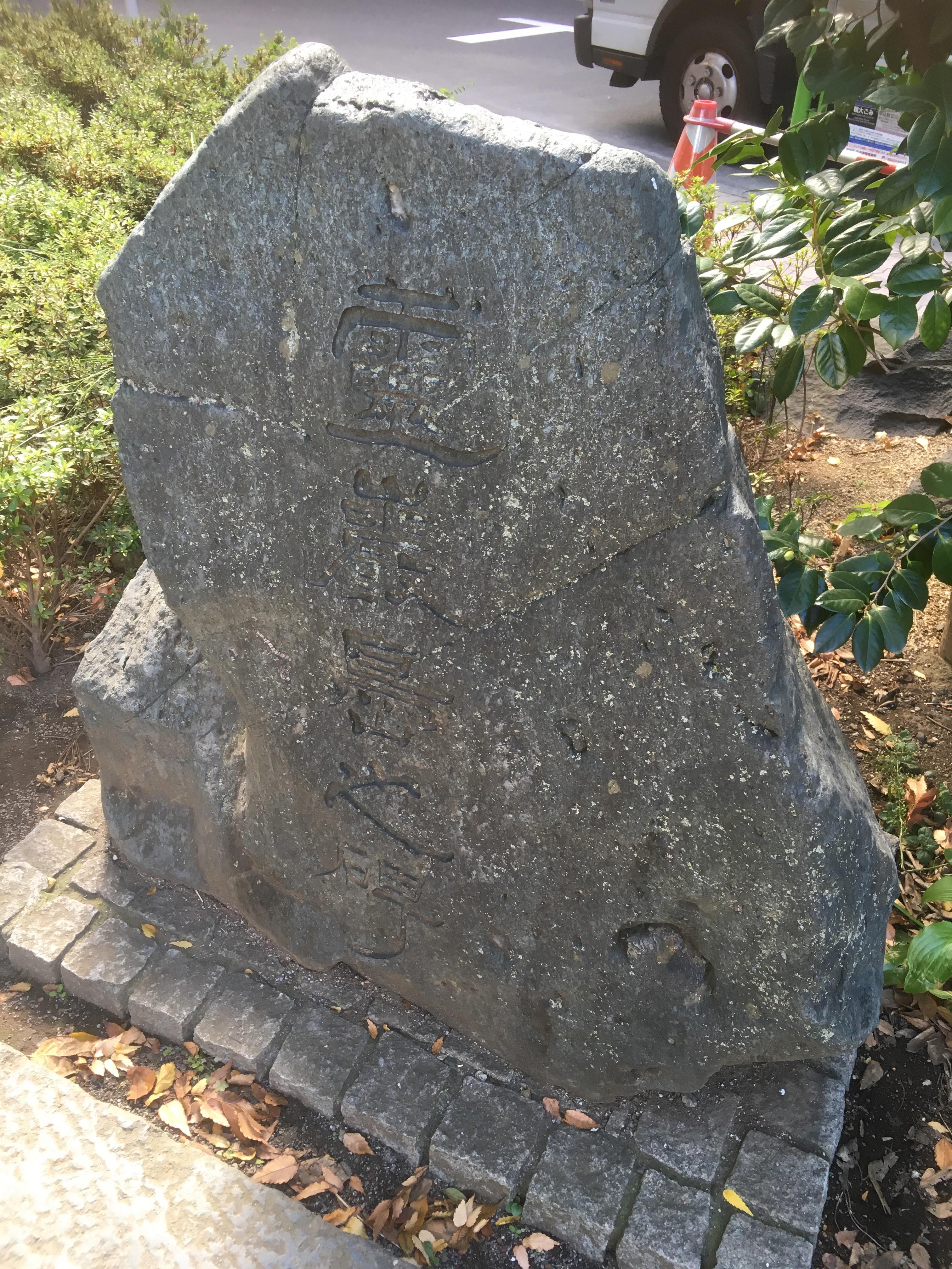
In Sakuragawa Park, there is also an explanation board for the site of Hatchobori (Sakuragawa).

Then, when you pass through the park, "Sakuragawa Nursery School in Chuo-ku, Tokyo", "Sakuragawa Keirokan in Chuo-ku, Tokyo", "Chuo-ku Women's Center Bouquet 21", "Chuo-ku Sakuragawa Rooftop Park" etc. are built, and the site of Sakuragawa is Chuo-ku It is effectively used for parks and facilities.

IMG_1833.JPG

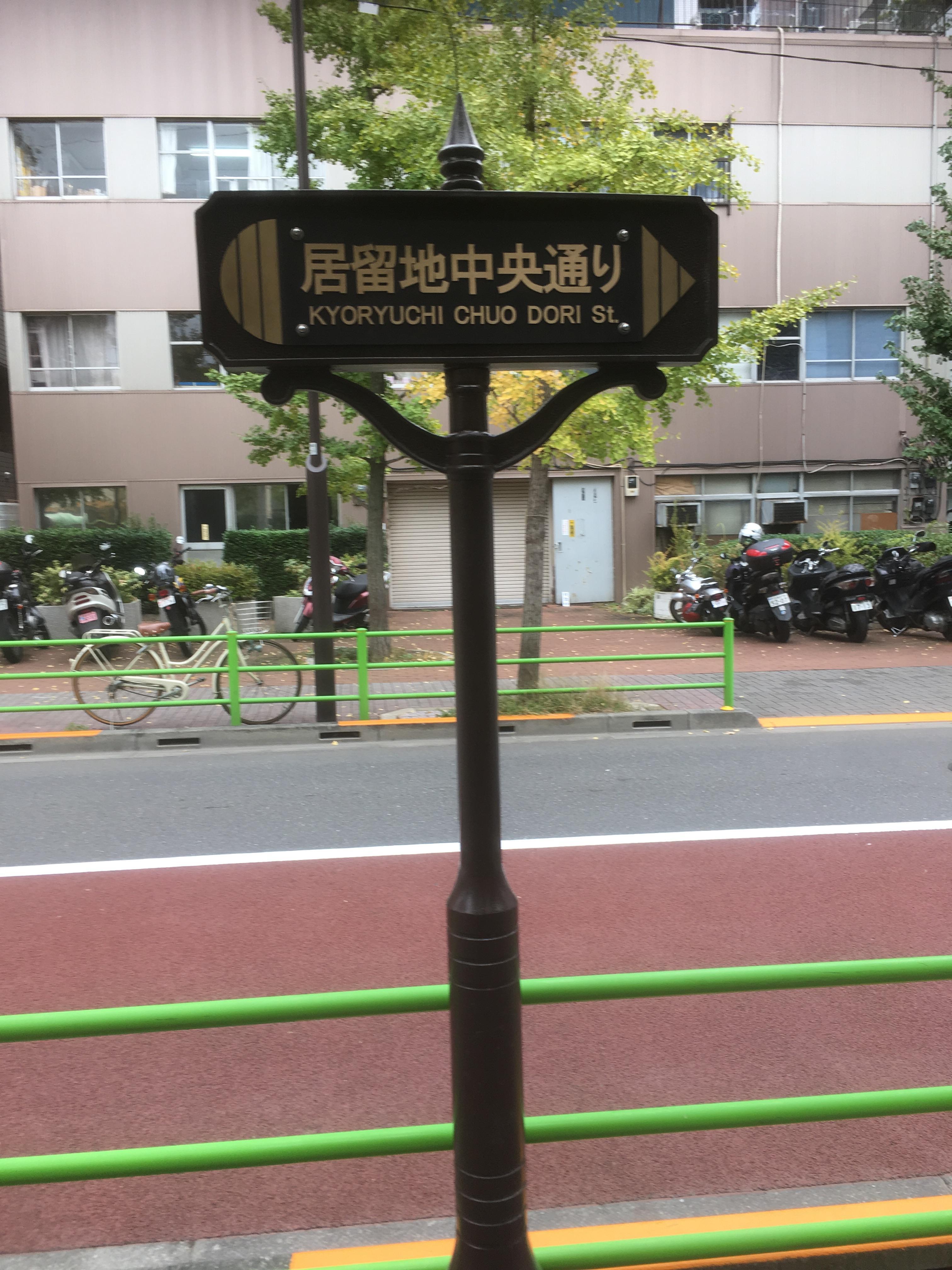
And the road between Sakuragawa Nursery School, Sakuragawa Keirokan, Chuo Ward Women's Center, and Sakuragawa Rooftop Park will be "Remaining Chuo-dori". Proceed south on this settlement Chuo-dori, you will continue to the Tsukiji Foreign Settlement Site (now Akashicho District), which was established in 1868. "Residential Chuo-dori" It's a wonderful naming that reminds you of a foreign settlement that you don't have now.

IMG_1797.JPGIMG_1804.JPG

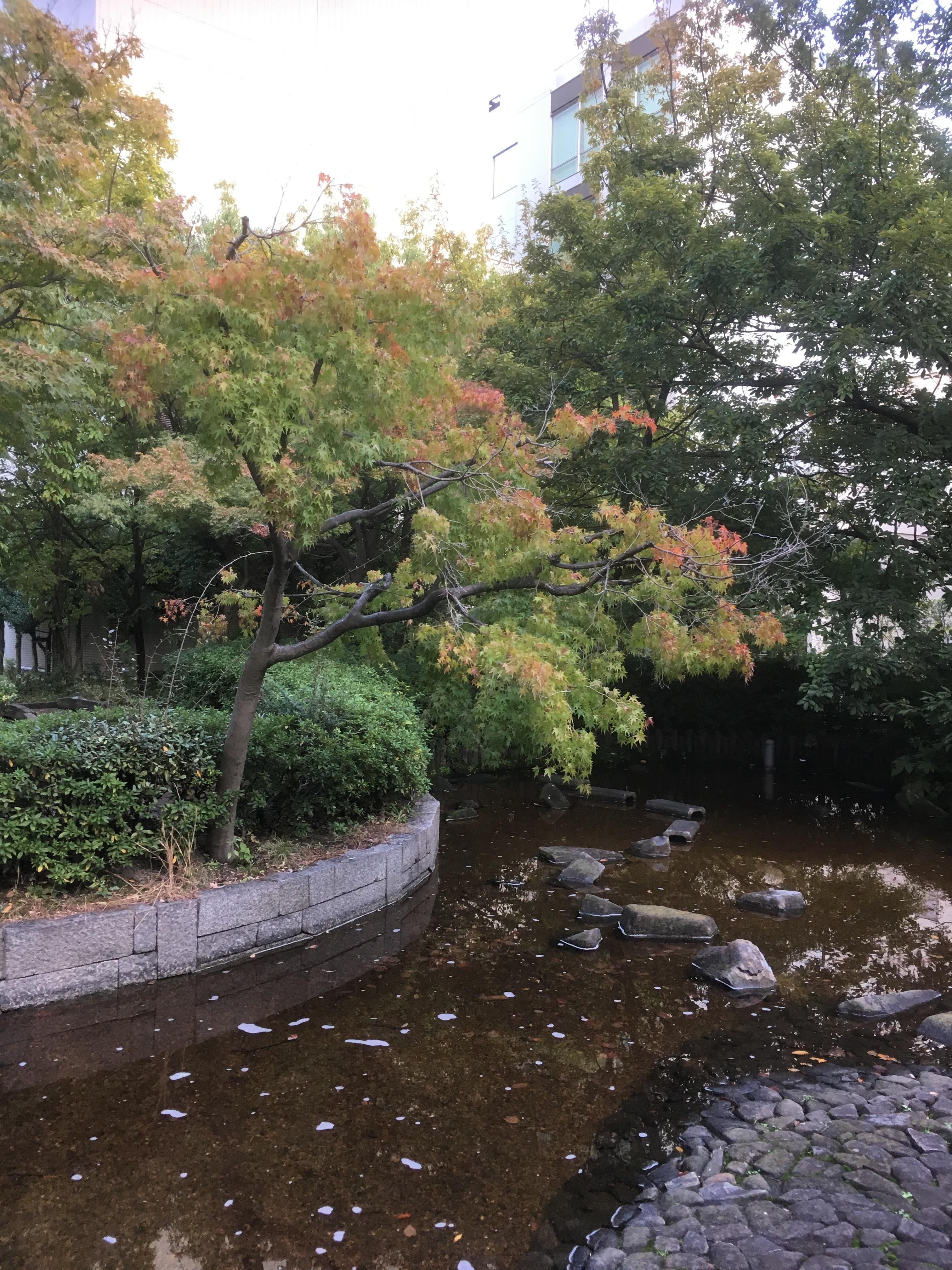
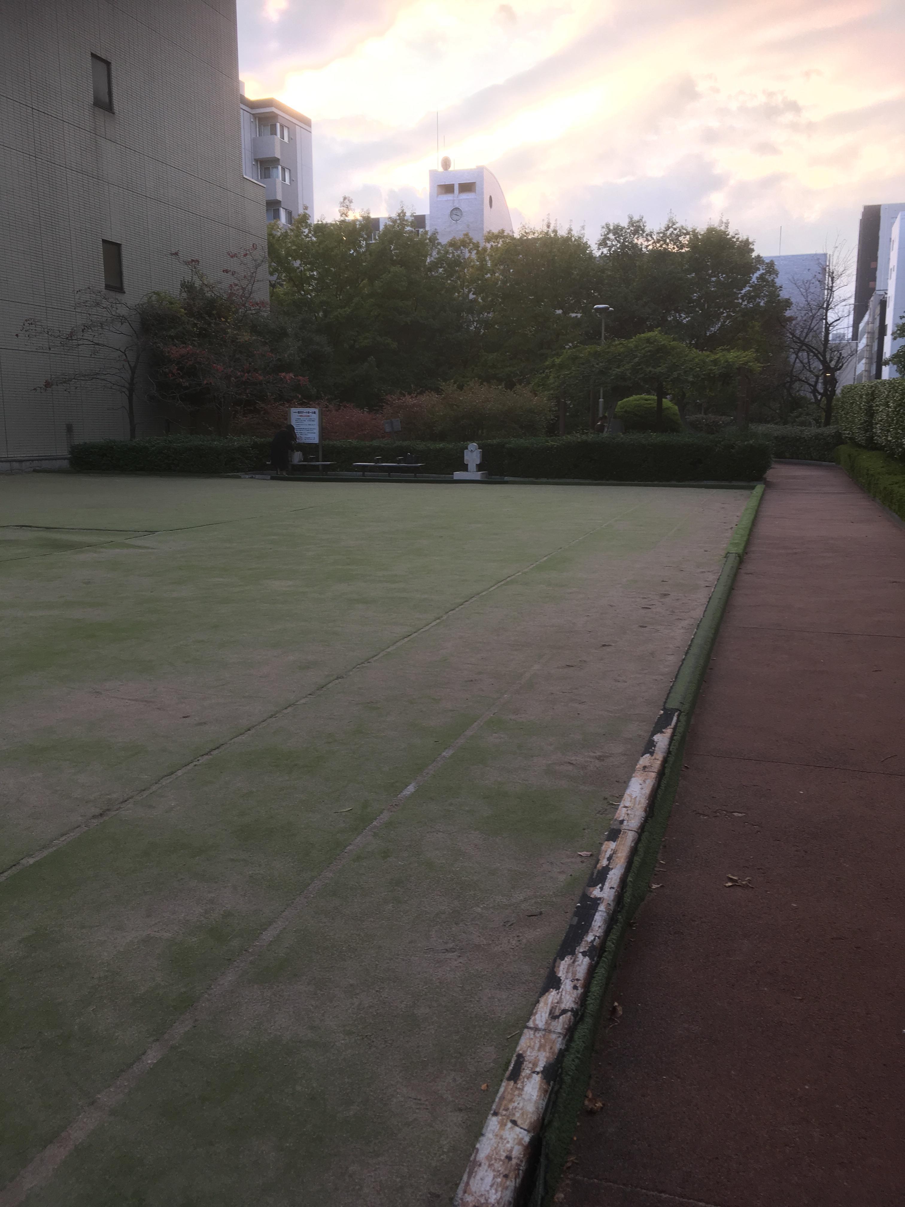
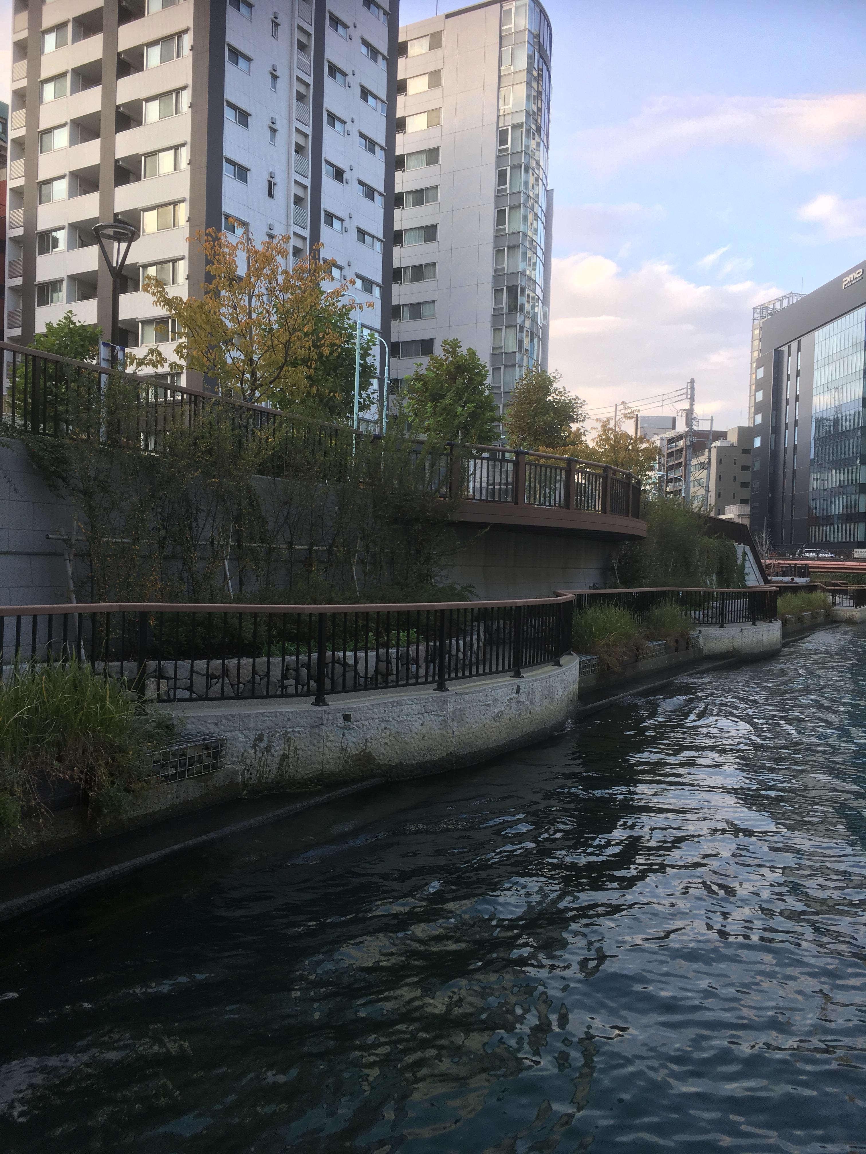
Then, this "Sakuragawa Rooftop Park" cannot be reckoned. There was a garden on the rooftop, and the water flowed, making it a healing spot that made you forget the hustle and bustle of the city. There was also a large open space, making it an attractive park.

IMG_1836.JPGIMG_1784.JPG

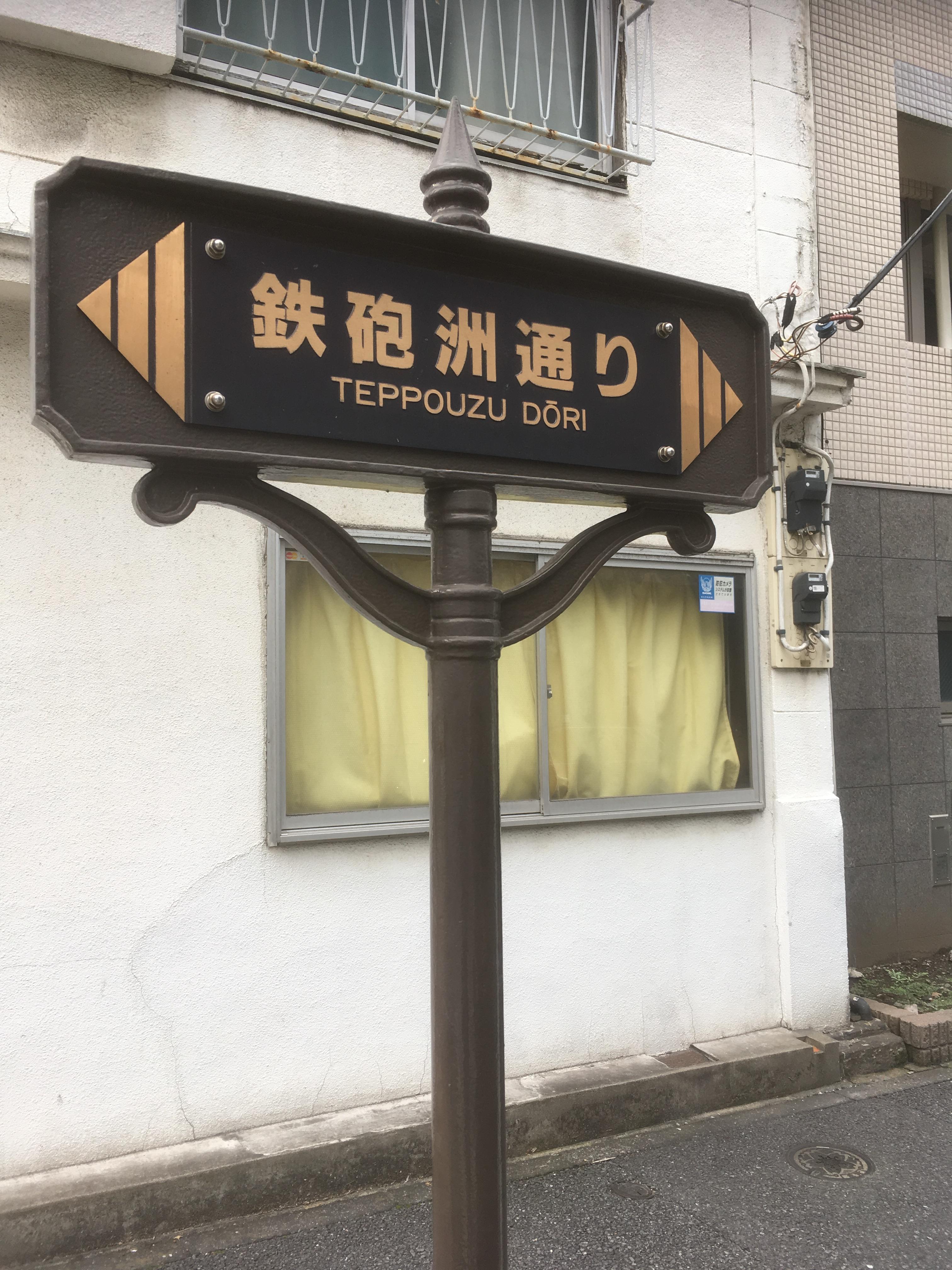
And when you get off Sakuragawa Rooftop Park, the street in front will be "Tetsugunsu Street".

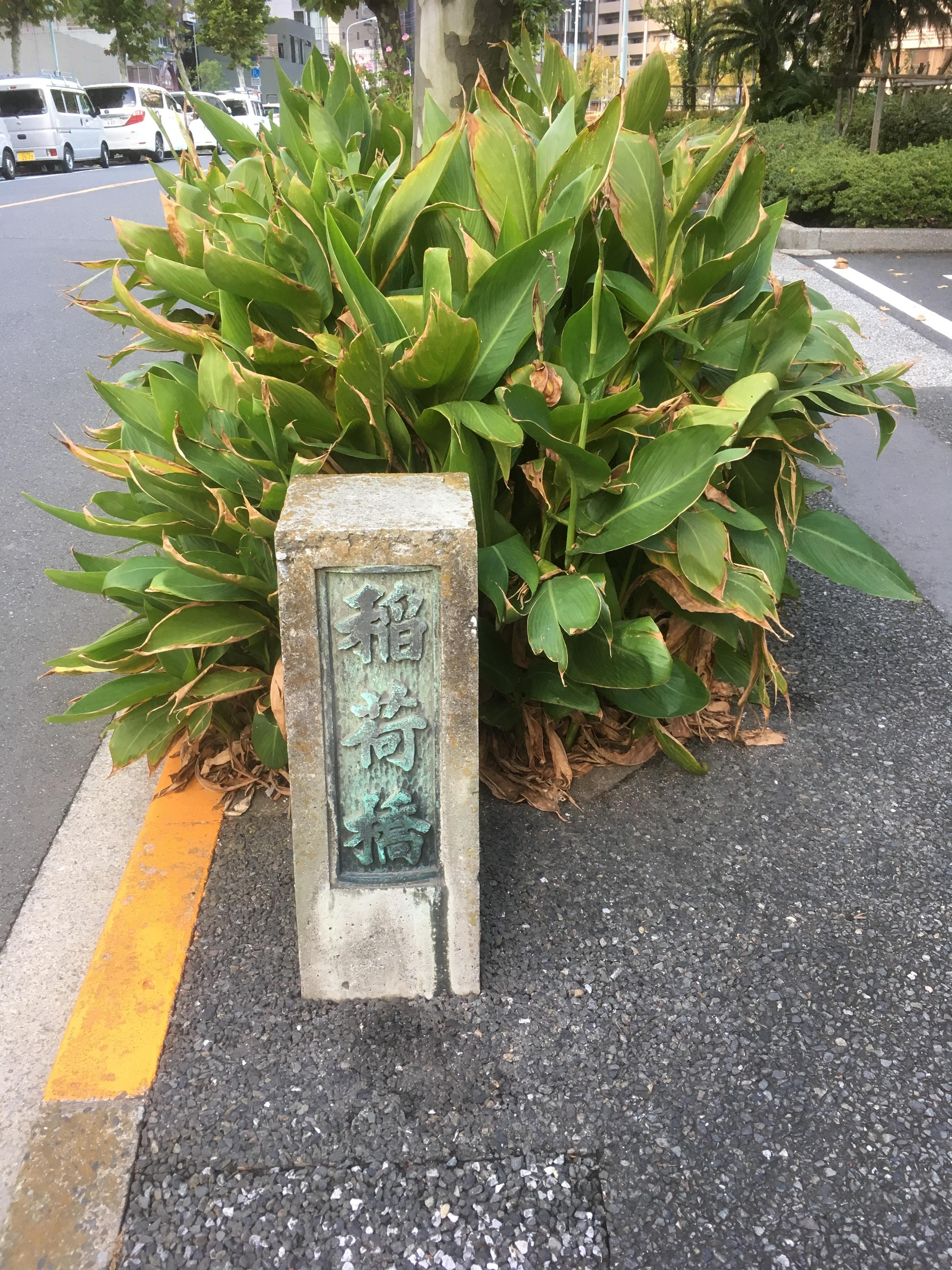
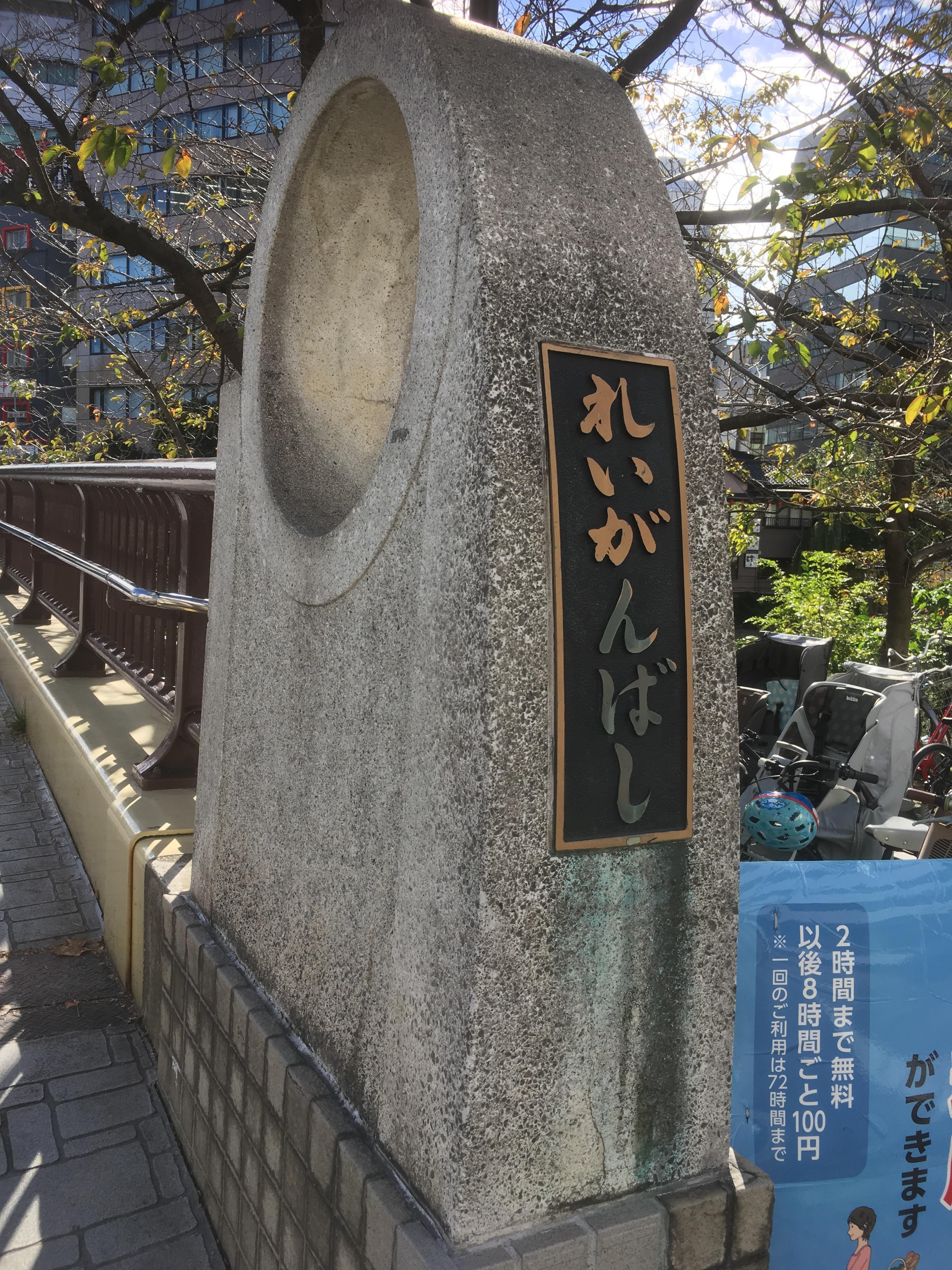
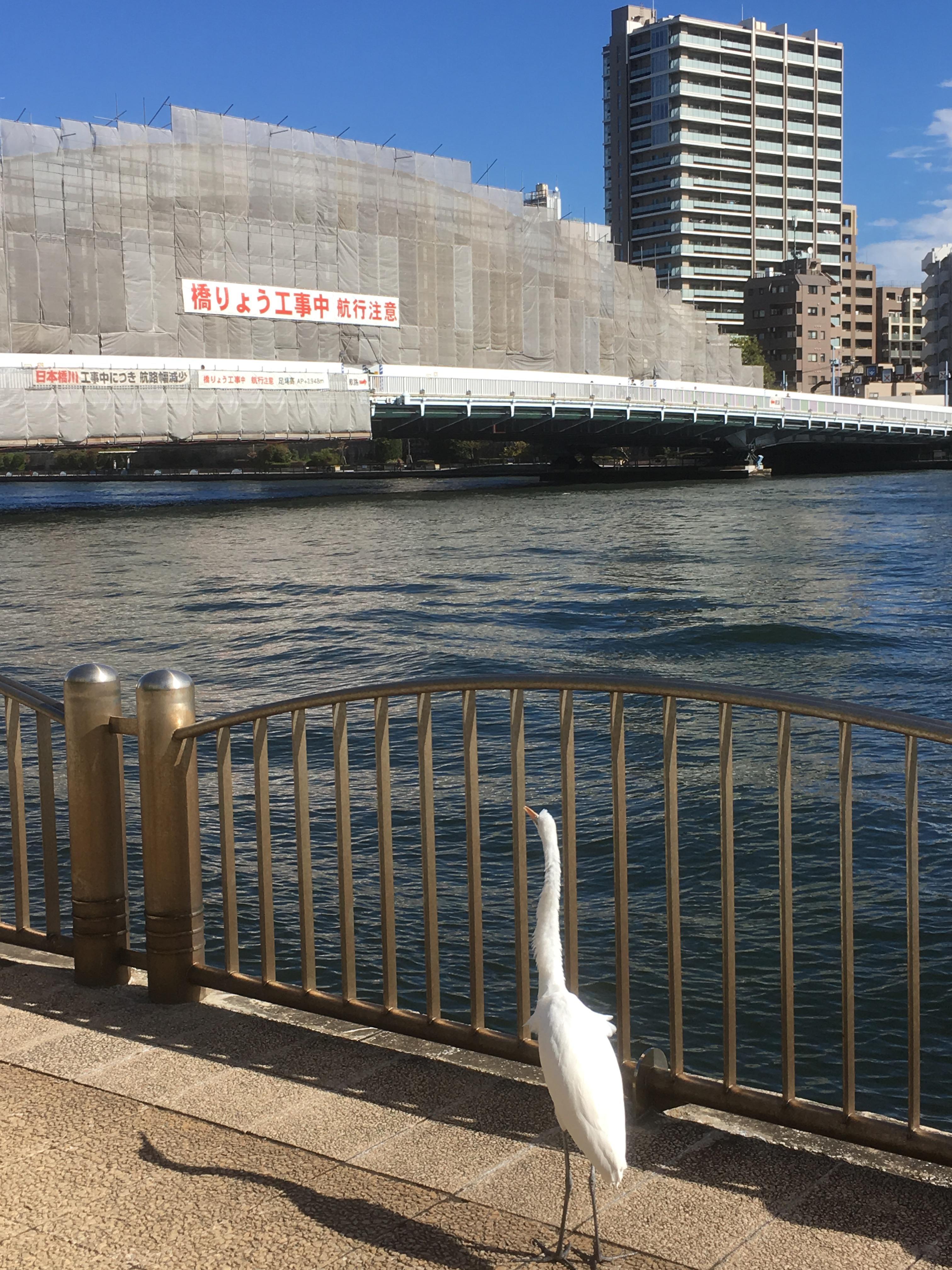
If you go south, of course you will continue to Tepposu Inari Shrine. There was a bridge name plate of Inari Bridge at the mouth of the Sakuragawa River. It's the Kamejima River in front of you.

IMG_1790.JPGIMG_1788.JPG

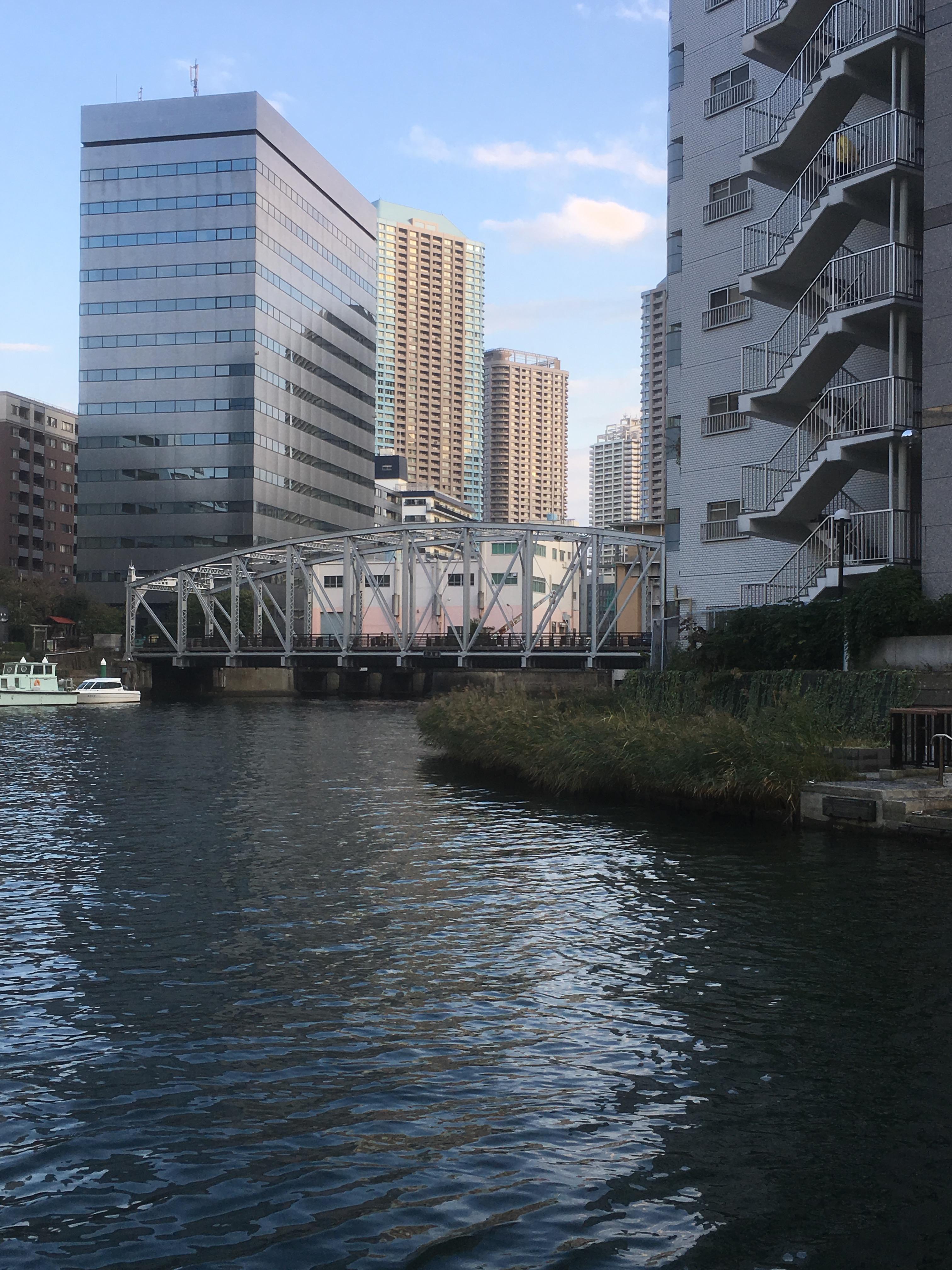
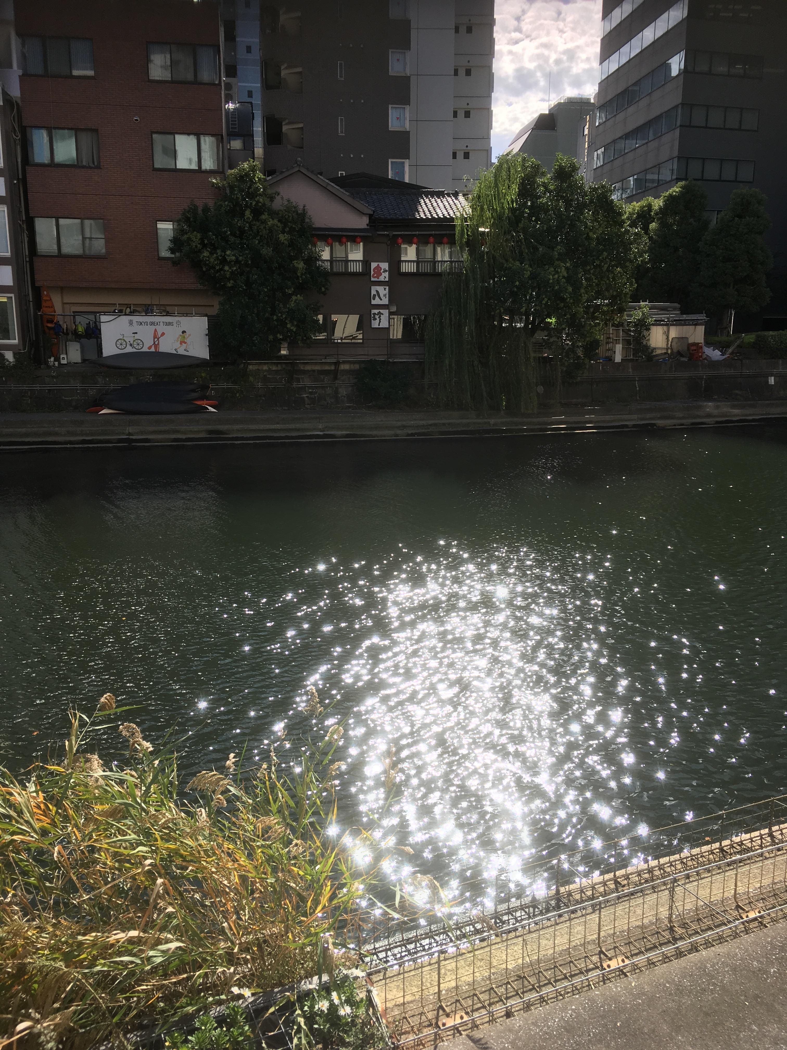
The photo on the left is a photo of Minami Takahashi from the site of Inaribashi.

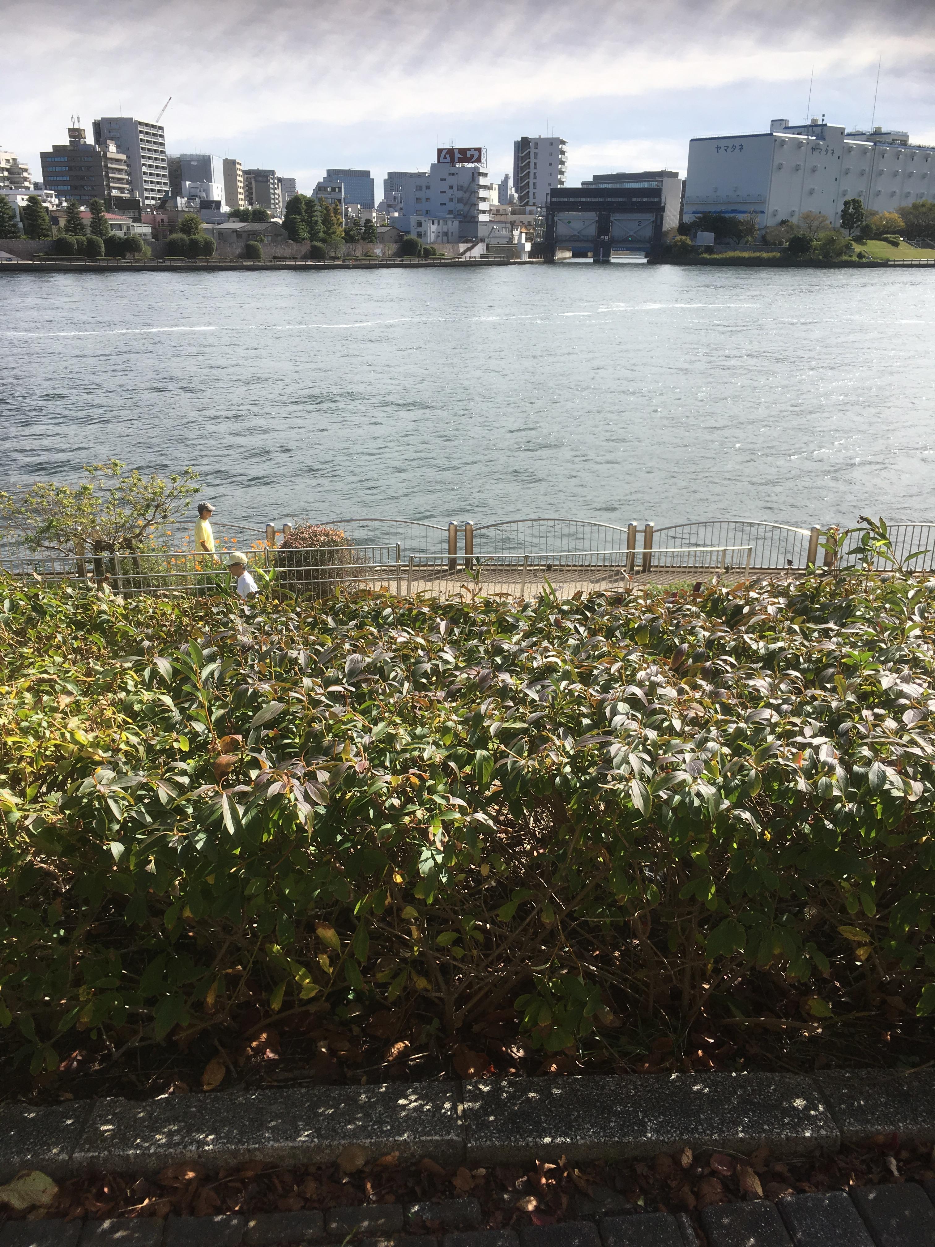
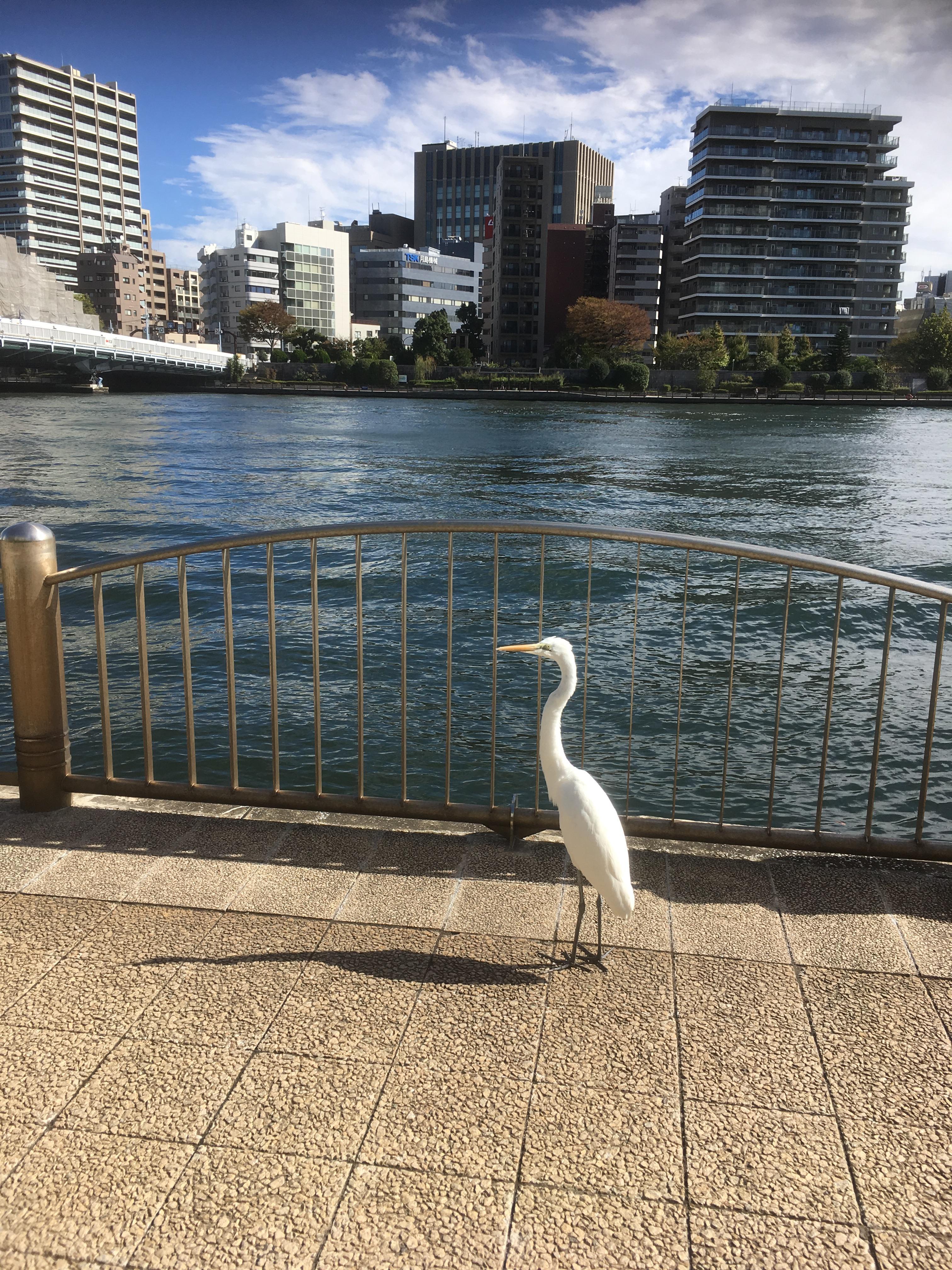
The photo on the right is near the mouth of the Sakuragawa site. It's almost time for this city walk to the end.

Through this walk around the city, Sakuragawa was not buried for the reconstruction of earthquakes like other reclaimed rivers in Chuo-ku, the reconstruction of wars, and the holding of the Tokyo Olympics, but Chuo Ward Parks and facilities were built. I understand well that it is being used effectively. In addition, the name Sakuragawa was left in the municipal park and facility.

Even so, what will be built on the site of Labor Square Tokyo?


Walk along the ruins of Echizen moat!

[Hikoharu Co., Ltd.] Nov. 11, 2018 14:00


Echizen moat was a moat surrounding the Matsudaira Echizen Mamoru Nakayashiki in the Fukui Domain, and was built with bridges such as Kaijo Bridge and Sakae Bridge. This time, we are planning to walk around the ruins of Echizen moat. At the current address, start from Shinkawa 1-chome along the Sumida River, cross the Echizenbori Children's Park, cross the Akimasa Elementary School diagonally, go along Yaesu-dori toward Tsukuda near Shinkawa 2-chome, and join the Sumida River again. It becomes.

IMG_1703.JPG IMG_1688.JPG

It will be a start from the vicinity of the right bank of Shinkawa in the previous project. Even now, there was an apartment where the place name of Echizenbori was left. It seems that Echizen moat had passed through the premises of this apartment.


IMG_1718.JPG IMG_1720.JPG

And when you cross Kajibashi Street, you will see Echizenbori Children's Park on your left.


IMG_1727.JPG IMG_1721.JPG

Echizenbori changes the direction to the south in this park and heads to Akimasa Elementary School.

In Echizenbori Children's Park, there are information boards for the ruins of Echizen moat and stone walls that have actually been excavated.


IMG_1729.JPG


IMG_1722.JPG


And there are stone monuments of Rei Kishijima, explanation boards about the origin of Rei Kishijima.

IMG_1723.JPG IMG_1725.JPG


IMG_1724.JPG


IMG_1734.JPG IMG_1735.JPG

Then, break diagonally in the school grounds of Akimasa Elementary School and proceed along Yaesu-dori toward Tsukuda.


IMG_1737.JPG IMG_1739.JPG

At the intersection of Shinkawa 2-chome, there was Echizenbori Pharmacy, which claims to be "Echizenbori".

This Echizenbori Pharmacy is a pharmacy with a history of starting a drugstore in 1923 (1923).

In the planting in front of the shop, there was an explanation board of "Echizenbori no Machiishi".

Thumbnail image of IMG_1740.JPG


In front of you, you can see the apartments of Chuo-ohashi Bridge and River City 21.

Now, Tsukuda is in front of you.

IMG_1742.JPG IMG_1744.JPG

Like last time, traces of Echizen moat could not be found.

And now, the address display of "Echizenbori" has disappeared, but it was barely left with the park name, apartment name, and store name, and I was able to discover it.

Even so, the Daimyo residence in the Edo period was big! I felt like walking around the city.


Walk along the ruins of Shinkawa!

[Hikoharu Co., Ltd.] Nov. 10, 2018 14:00

This project is to walk along the ruins of Shinkawa, which was excavated by Zuiken Kawamura in 1659.

I walked from the confluence of the Kamejima River and Shinkawa (near Shinkawa 1-chome No. 3) to the stone monument at Shinkawa Park at the confluence of the Sumida River and Shinkawa.

The Shinkawa flowed through the current Shinkawa 1-chome. In Shinkawa, three bridges were built from the west: Ichinobashi, Ninobashi, and Sannobashi. From the Edo period, liquor stores and sake brewery were lined up on both banks, and until the Meiji and Taisho eras, many liquor wholesalers, local liquor wholesalers and wholesalers were gathered. However, after the Great Kanto Earthquake and the Great Tokyo Air Raid, Shinkawa, the center of Tokyo's liquor wholesale business, was completely destroyed.

In Shinkawa, landfill work began in 1948 (1948), and construction was completed in the following year 24.

IMG_1659.JPG IMG_1655.JPG

The start is from Reigishi Bridge. If you look at the opposite bank from the bicycle storage area at the base of Reigishi Bridge, you can see a dark green place. This is the confluence of Shinkawa and Kamejima River. I watched the seawall, but I couldn't find any traces like that.


IMG_1709.JPG

The photo above is near Ichinobashi. And when you return to Eitai-dori St. a little, you will find an explanation board of the site of Zuiken Kawamura mansion.

IMG_1669.JPG


And on the left bank of Shinkawa, there is Masaru Shinkawa Jingu Shrine.

IMG_1682.JPG IMG_1681.JPG

I studied a little bit about Masaru Shinkawa Jingu Shrine.

"It is Chisan Dojin in Yokkaichimachi, Masaru Shinkawa Jingu Shrine. During the Kanei era, both grand shrine and Shinmei-gu Shrine, when Ise inner shrine's priest Keikoin Hiokani came to Edo, he worshiped the mansion here and made it a travel pavilion, recommended both inside and outside Ise, and made it a place of worship. It is one of the most popular places in Edo during the Bunsei and Tenpo. "

From "History of Chuo-ku"


Let's take a look at the votive board. Even now, you can still see the names of companies related to alcoholic beverages.

IMG_1679.JPG


IMG_1680.JPG


IMG_1676.JPG


IMG_1674.JPG

After being held on October 17, Reitaisai festival in 2018, sake barrels were displayed in the northwestern part of the precincts.


IMG_1684.JPG IMG_1685.JPG

Even today, there was a building of the Sake Foods Health Insurance Association next to Masaru Shinkawa Jingu Shrine. Although the name of the liquor company is slightly near the site of Shinkawa, it can still be confirmed.

And this is Shinkawa Park. In Shinkawa Park, there is a stone monument of "Remains of Shinkawa" and an explanation board of the traces of Shinkawa.

IMG_1689.JPG

IMG_1692.JPG

And I was able to see the sluice gate covered with ivy.

IMG_1697.JPG IMG_1698.JPG


At the confluence with the Sumida River, on the left bank, there is Watakai Inari Shrine, which has been worried about for a long time.

IMG_1696.JPG

I don't know what is going on in the display of this Tokai Inari Shrine.

Is there a torii gate or shrine in this shutter? First of all, I wrote that the name of "Tokai" Inari Shrine crossed the sea, and the place was the Shinkawa entrance, so I was very interested in it and examined a little.

"Tokai Inari Shrine enshrined deity Uga Soulmei was founded in 1704 in Kamiji in the early Meiji era, became a common land in the city area, changed to 22 tsubo free lease. After the war, he was requisited by the Allied Forces and started reconstruction after the cancellation. 2,000 reverences."

From "History of Chuo-ku"


Since 1704 was founded in 1704 AD, it was founded after Shinkawa was excavated. Also, when checking the fireho map of the Showa 20s, the area around it is described as "U.S.N.COMMANDER NAVAL FORCES FAR EASTMOTOR POOL", and it seems that it was used as a centralized dispatch site for troops. . At present, I'm worried about what is going on inside this Tokai Inari Shrine.

And finally, I went out to the Sumida River Terrace. What a bird like "Sagi" greeted me there. I was surprised at this.

IMG_1751.JPG IMG_1750.JPG

When I walked along this Shinkawa site this time, I could not find any direct traces of Shinkawa, which had been reclaimed for the reconstruction of the war, but the fact that liquor companies gathered in Shinkawa and prospered for a while as a defeated country It was a city walk to reaffirm many things, such as what was being occupied.


1