List of Authors
>>About this blog
Recent blog post
|
[Hikoharu Co., Ltd.]
August 4, 2018 18:00
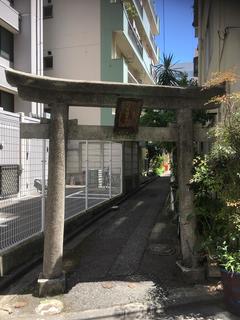
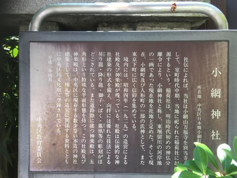
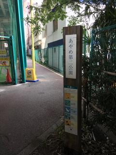
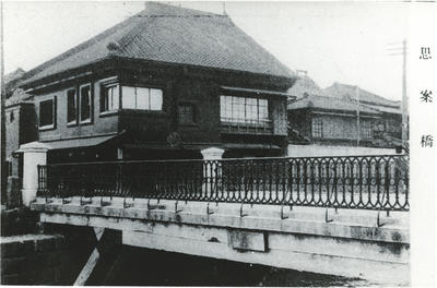
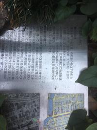
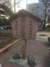
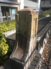
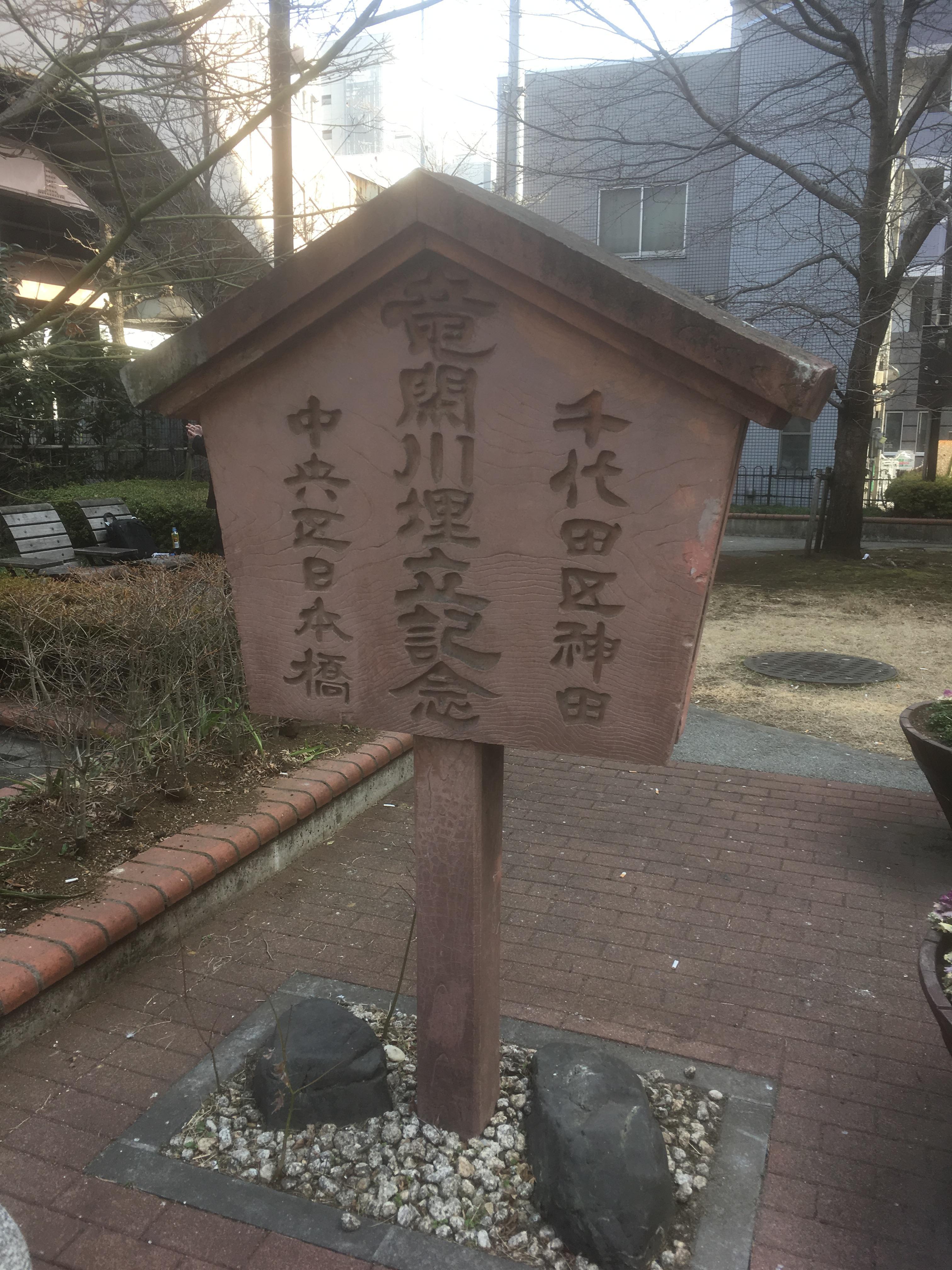
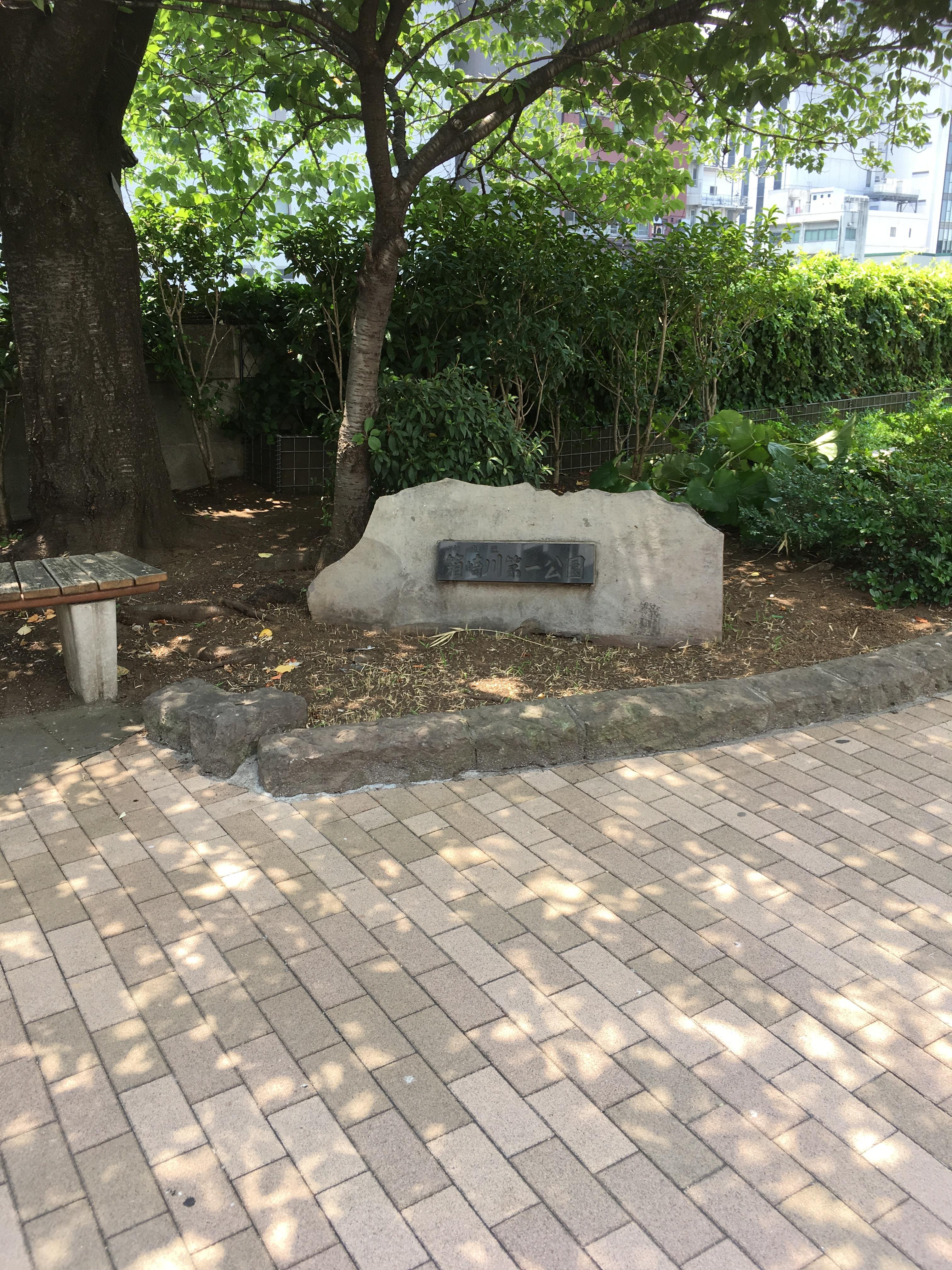
There is an information board on the banks of Gyotoku in front of the Hakozaki River Daiichi Park, the end point of walking on the site of the previous Hakozaki River.
When I found this information board the other day, I decided to walk the site of Inaribori next time.
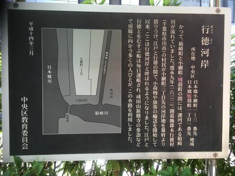
Just before the Hakozaki River crosses the Nihonbashi River, you can see the waterway extending upward on the map above.
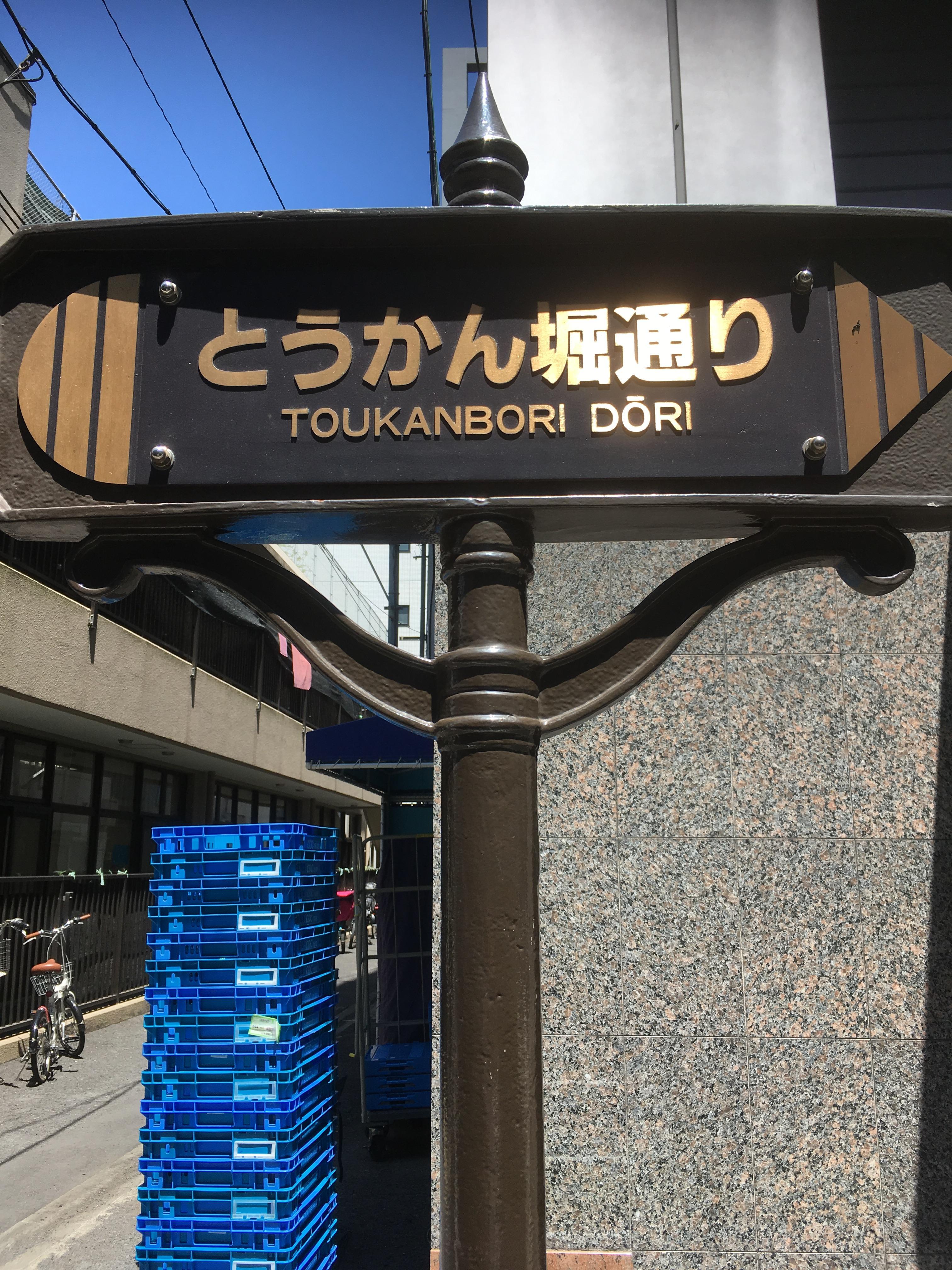
This is the Inaribori that I walked this time. First of all, I would like to read Inari.
He reads the sound and reads it, commonly called "Tokan". I am also involved in work
I knew the name of Tokanbori-dori because I often pass around here, but "Tokan" is
When I wrote "Inari", I learned that I was studying to take a sightseeing test in Chuo-ku.
That's right.
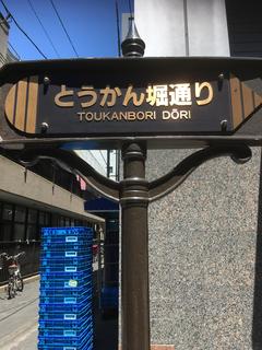 
This Tokanbori-dori is the road that was built on the trace of this waterway.
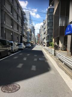
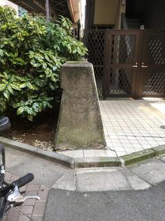
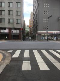
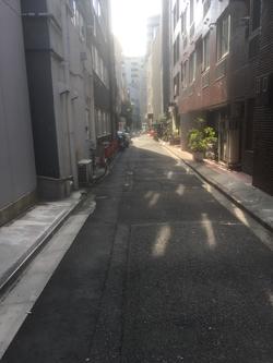
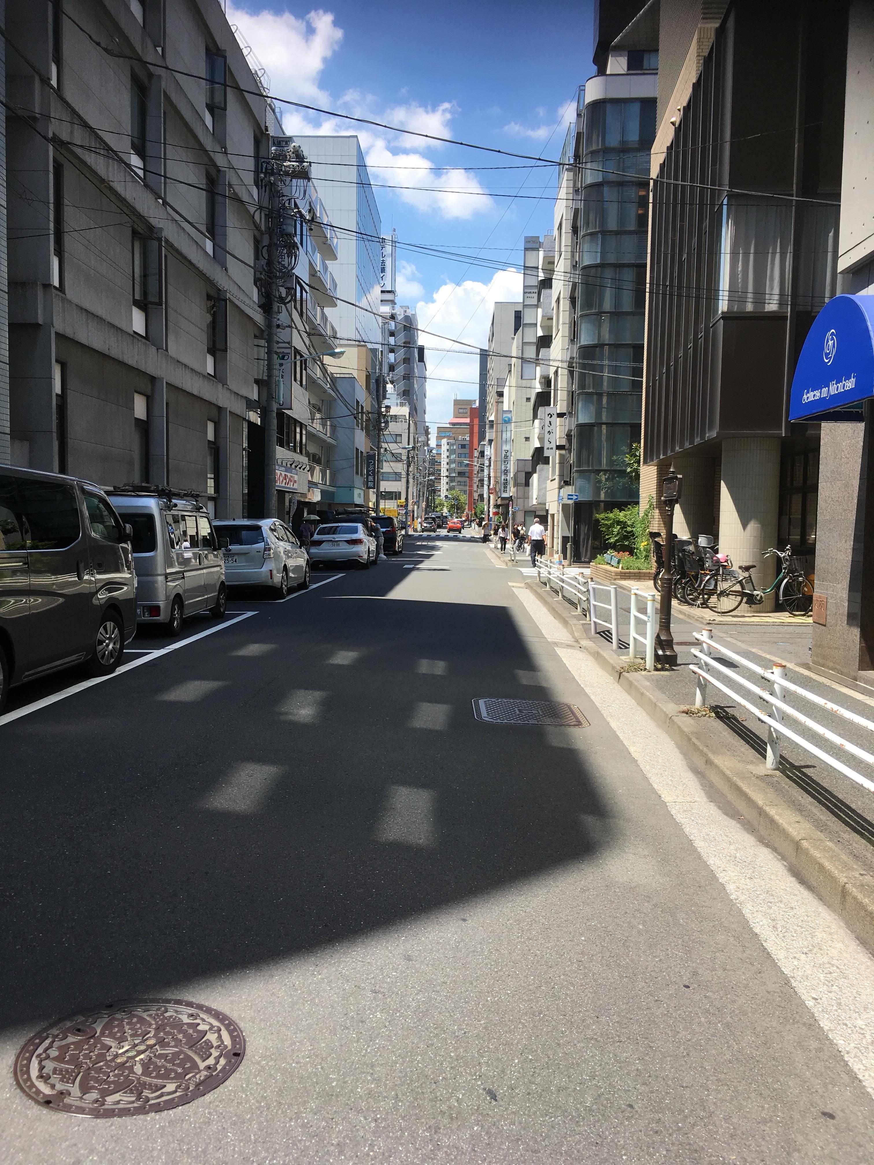
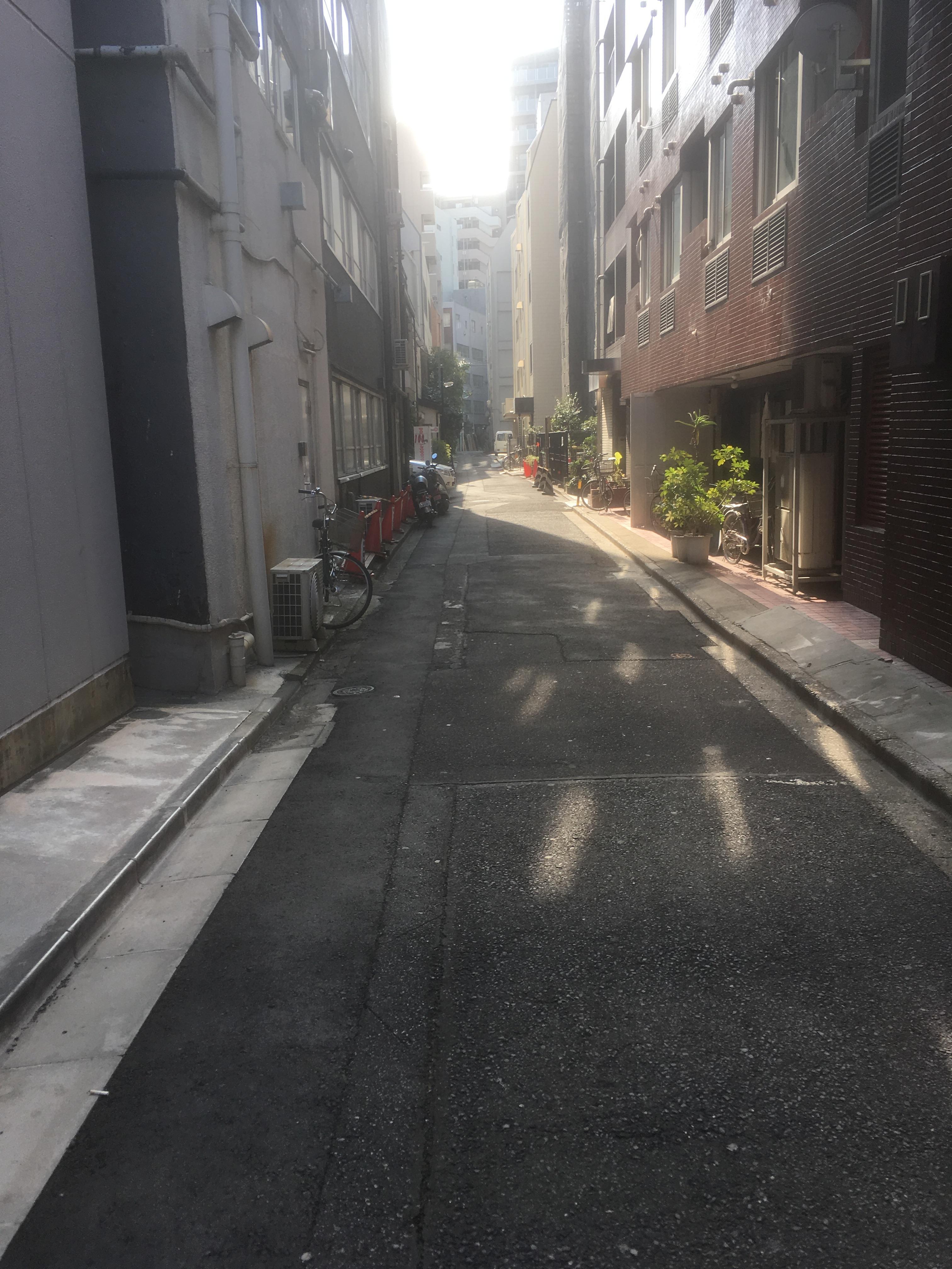
The photo on the right shows the Kakigaracho intersection with the ruins of the Hakozaki River behind.
In other words, the right side of the photo is the current Nihonbashikakigaracho, and the left side is Nihonbashikoamicho.
In other words, this Tokanbori-dori is the boundary line.
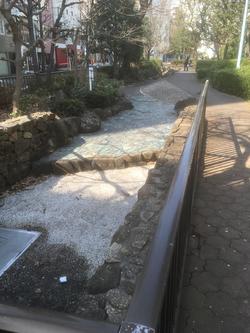
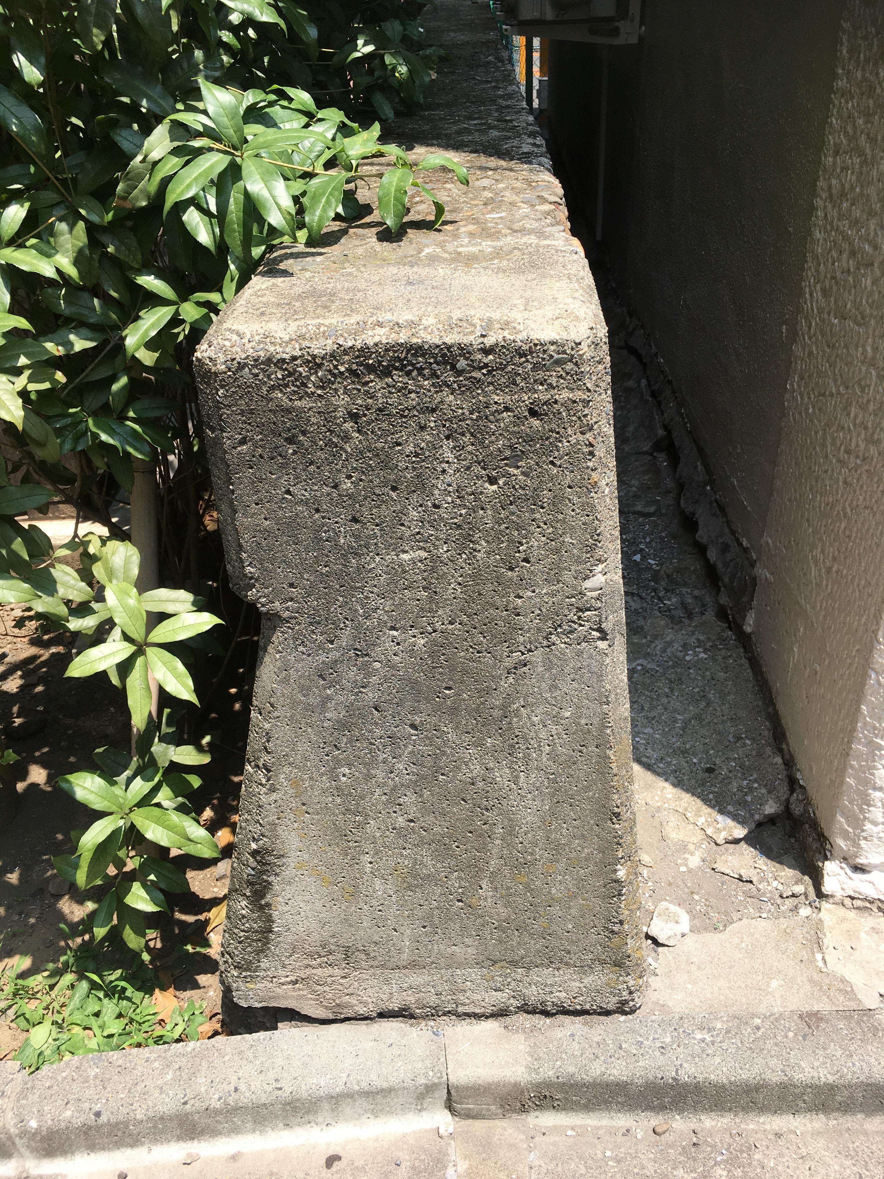
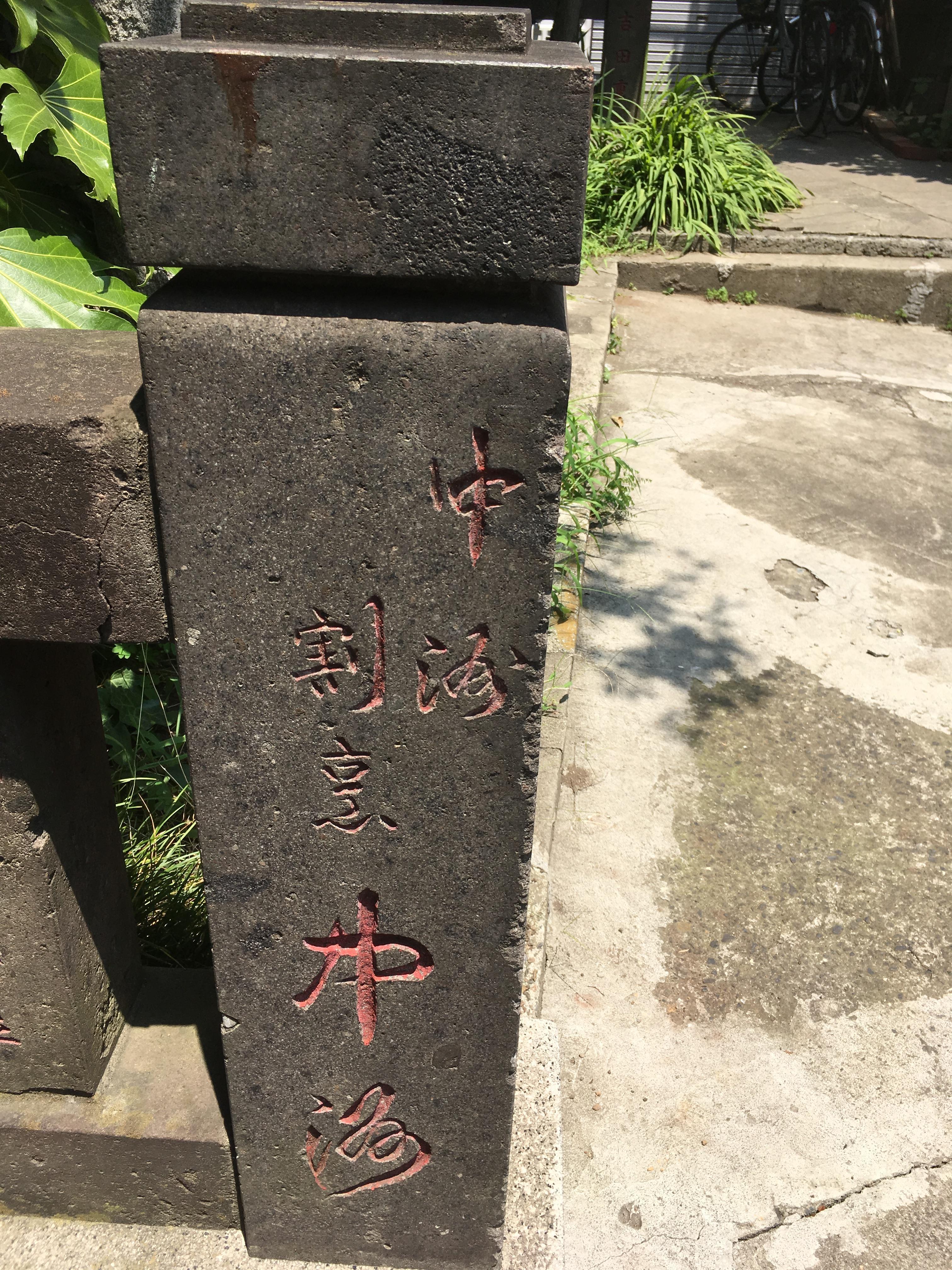
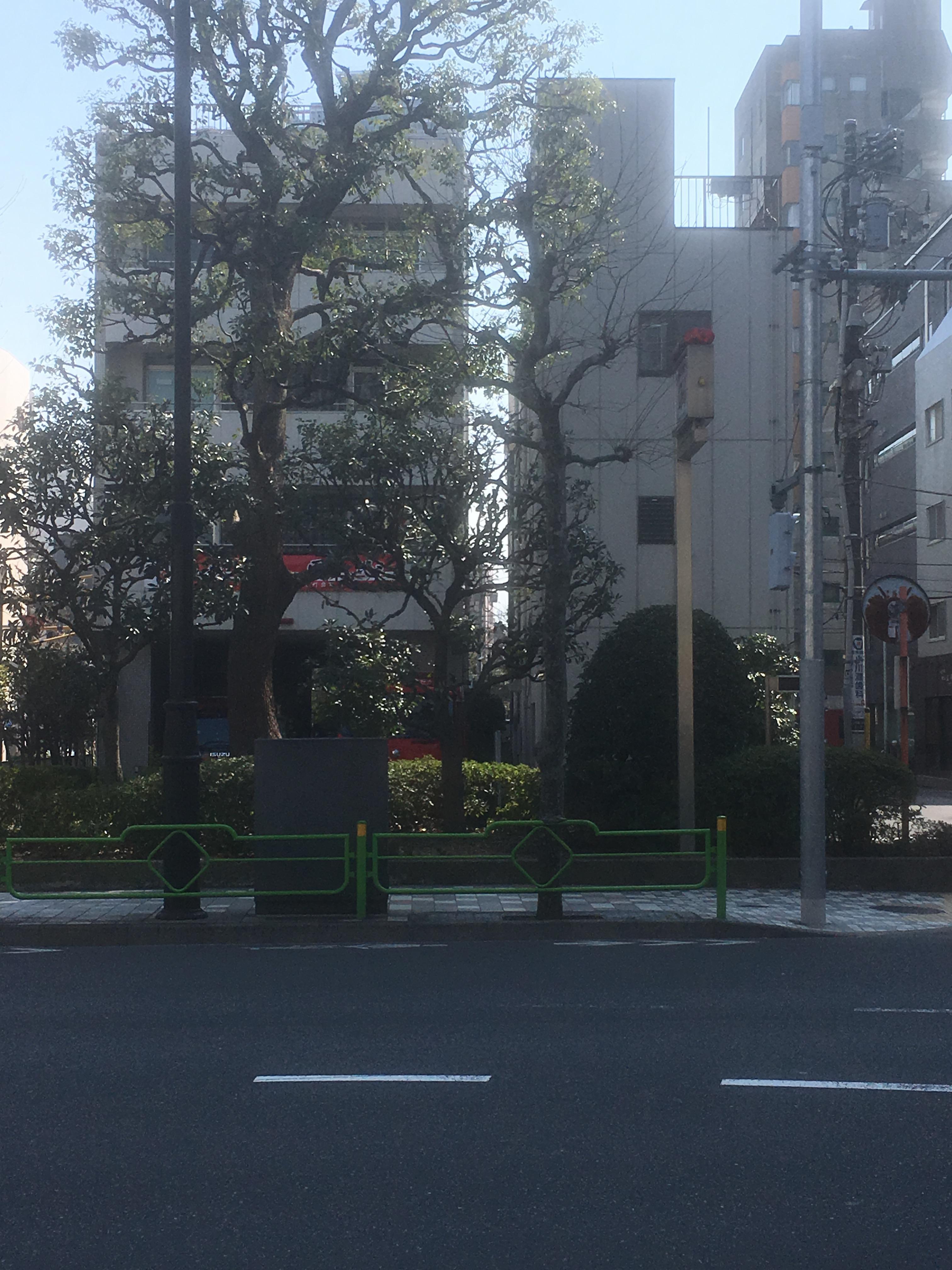
After a while on Tokanbori Street, you will find a signboard at the site of Inaribori on the sidewalk on the Koamicho side (left side).
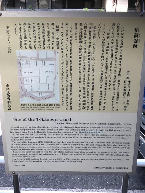
Looking at the map on the information board, it leads from Hakozaki River to Higashiboriru River, and along the way to the east.
And flowed through the grounds of daimyo such as the Sakai Gagaku Head House and Doi Kaimori House.
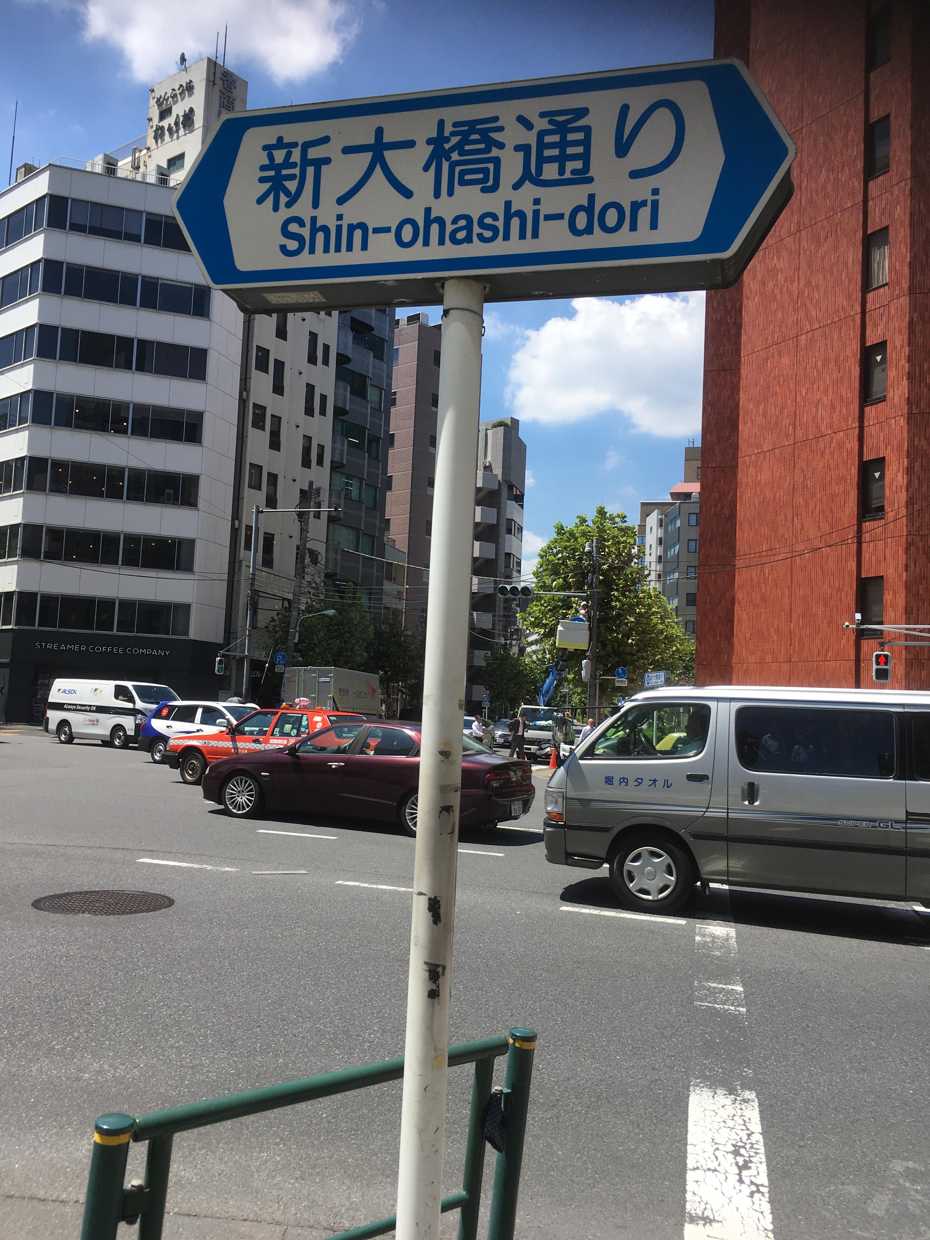
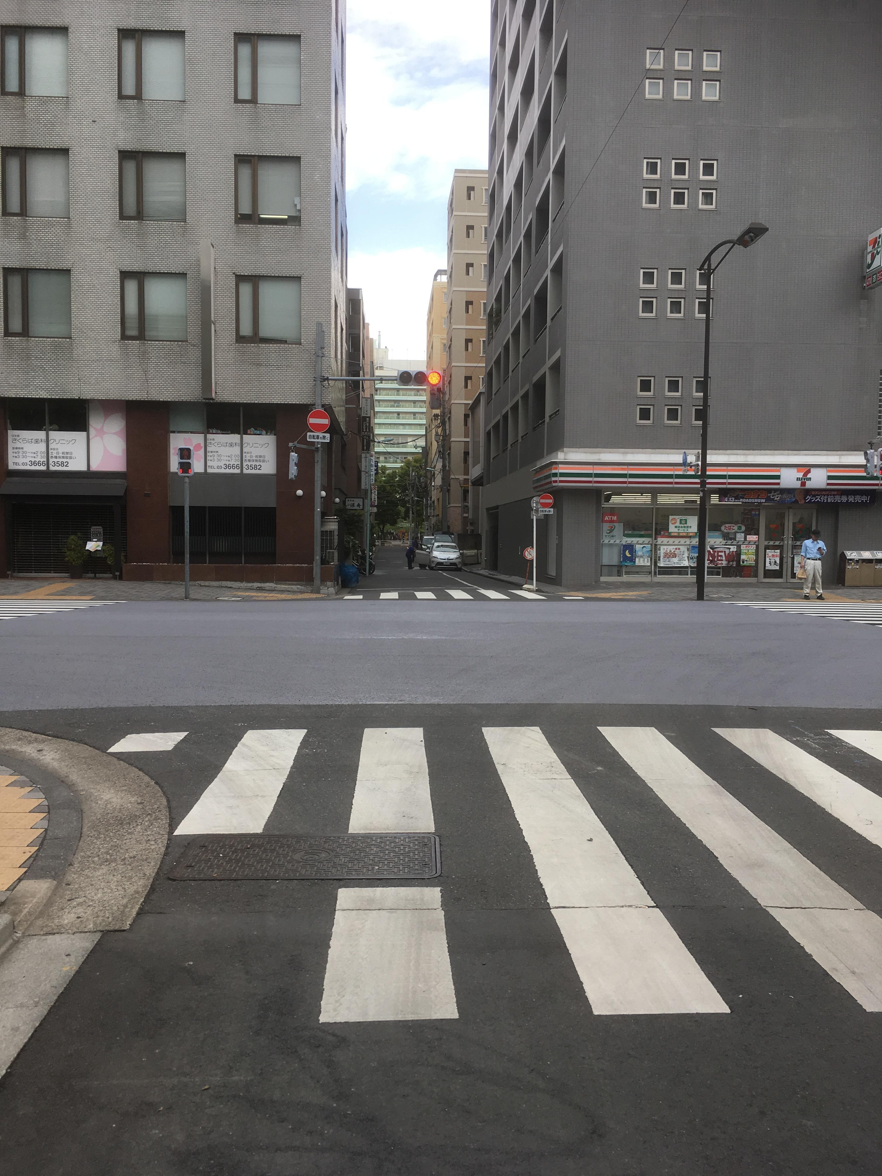
Generally, at the intersection of Kakigara-cho, turn eastward and proceed northwest again.
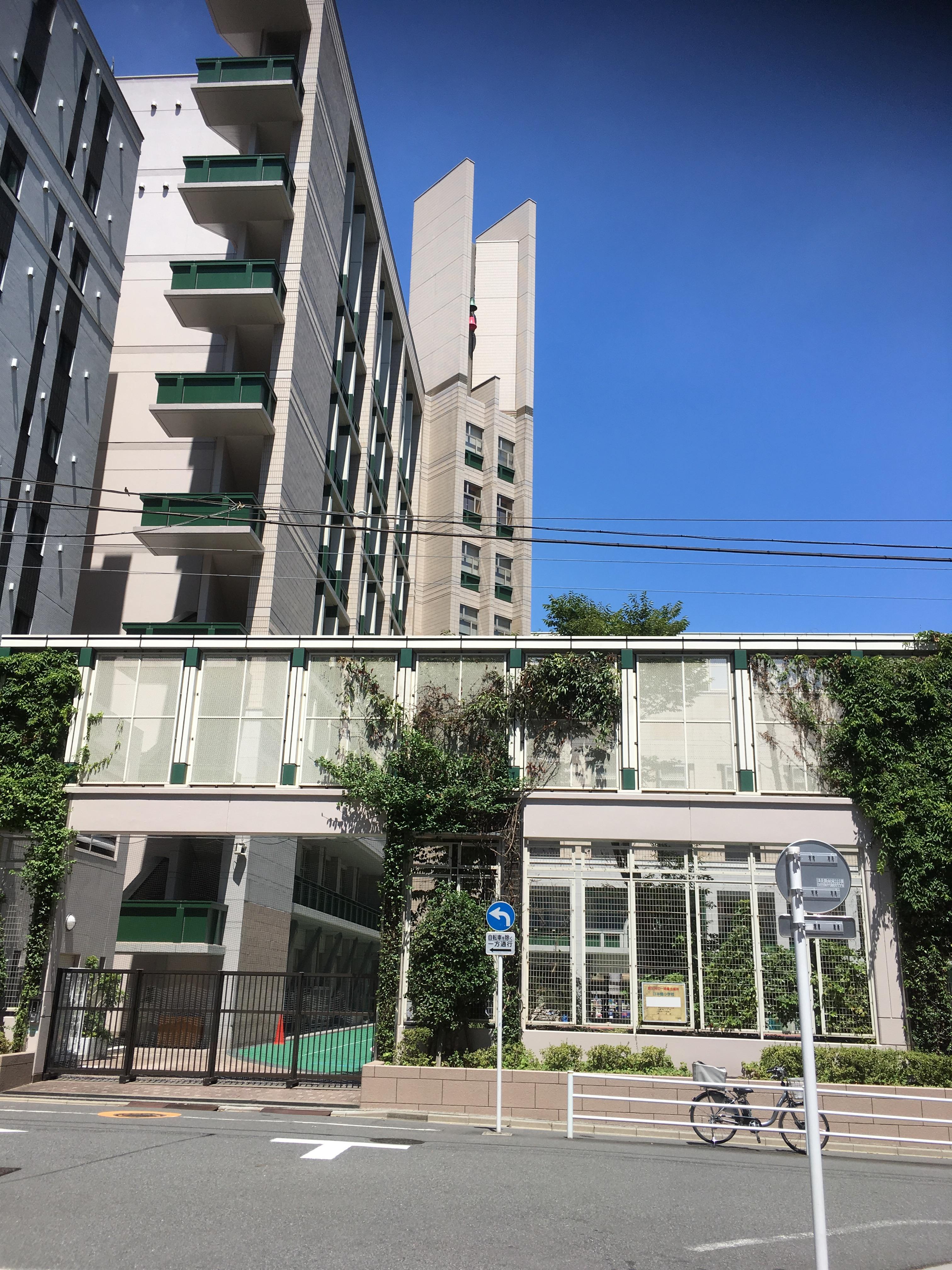
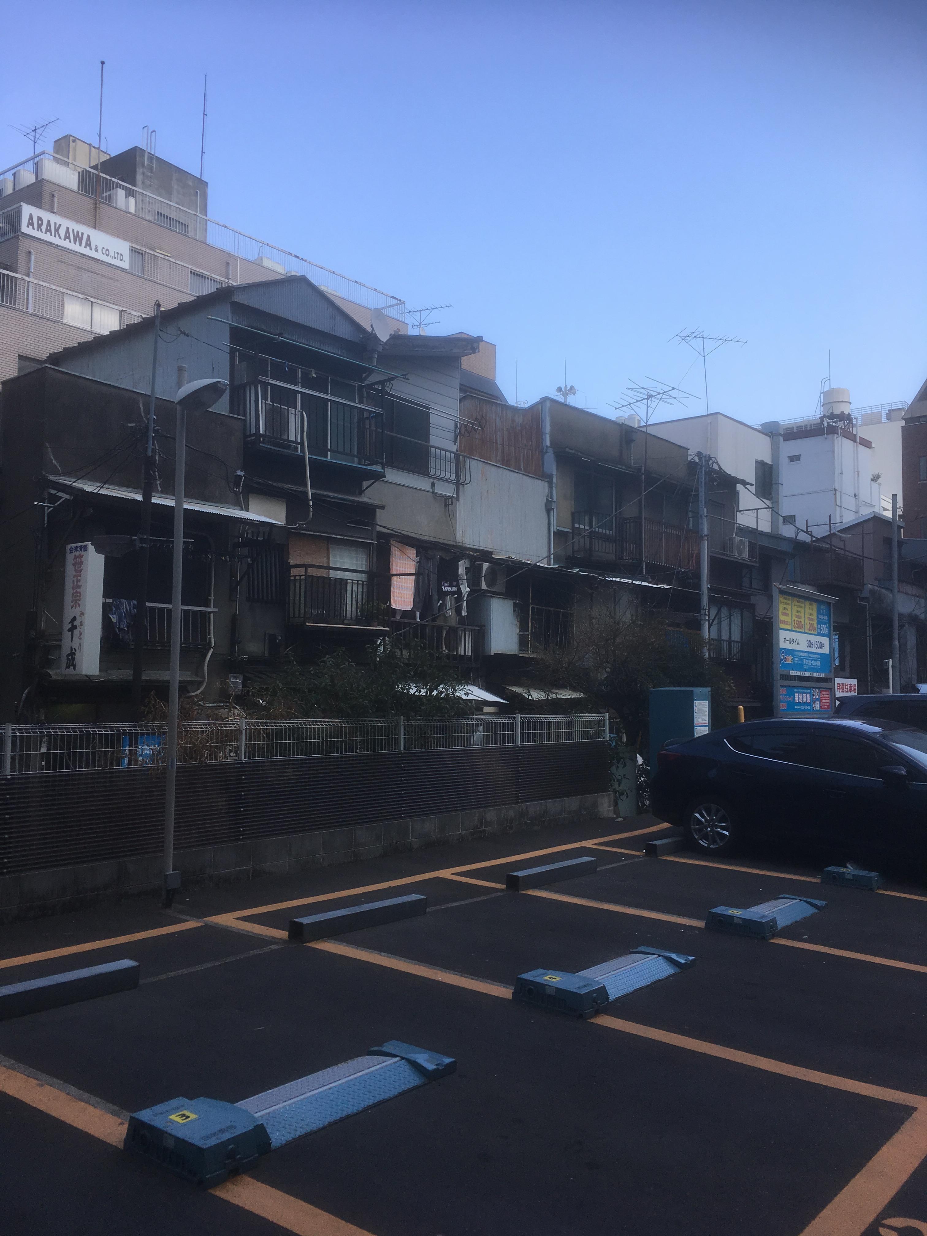
If you follow this road toward Ningyocho, you will see Nihonbashi Elementary School on your left. The predecessor of this Nihonbashi Elementary School was Higashika Elementary School in Chuo Ward. It seems that the name of "Toka" was also named after "Toka" in Inaribori.
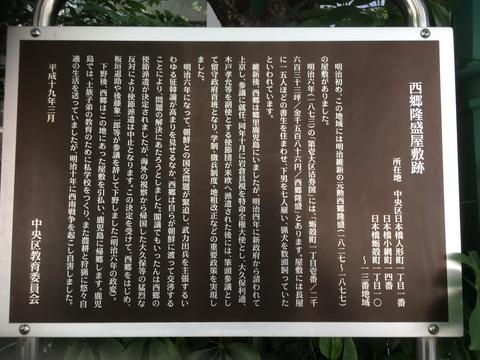
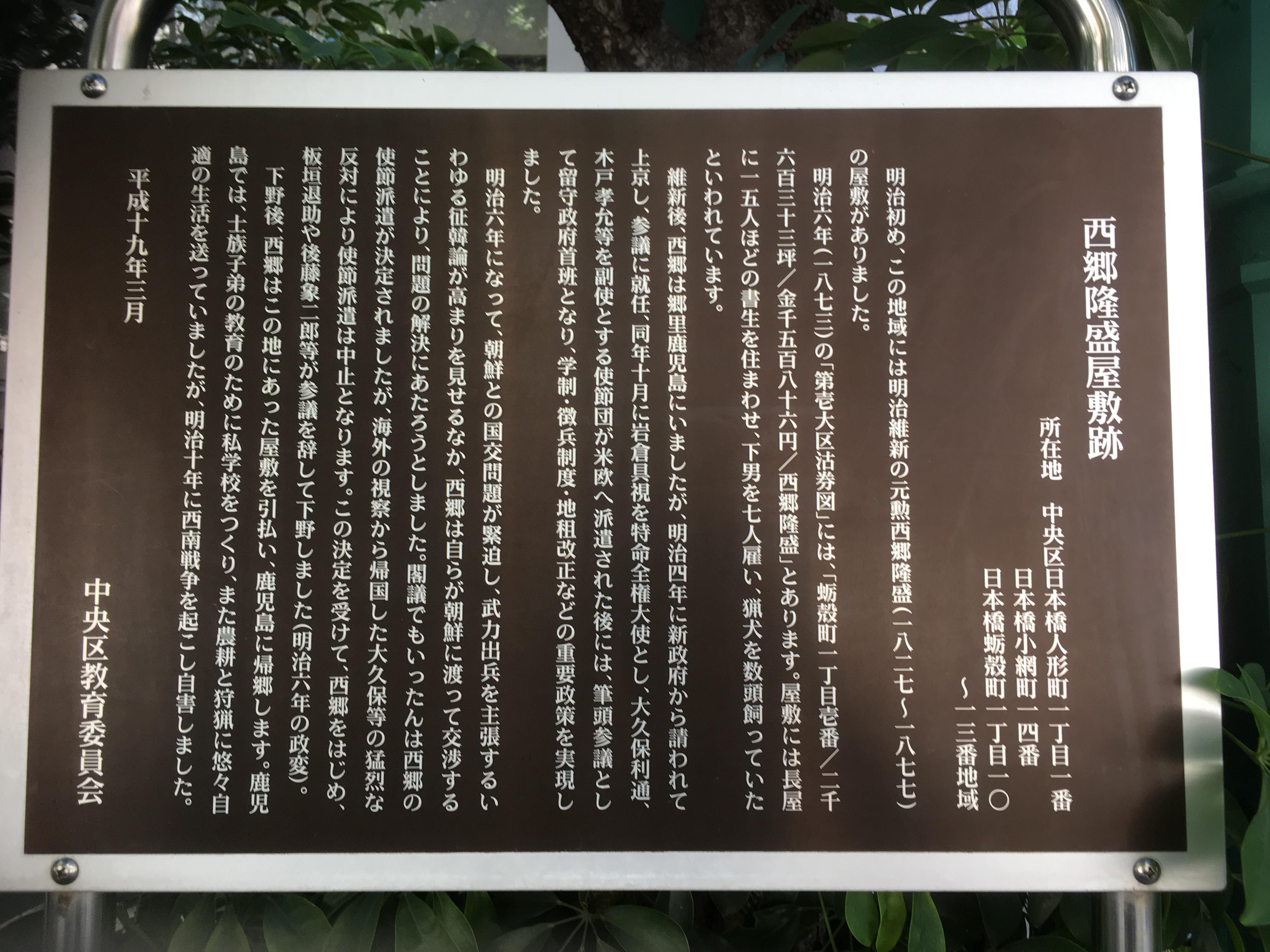
In the late Edo period, there was a clan residence of Sakai of the Himeji clan, and in the early Meiji period there was a mansion of Saigo Takamori.
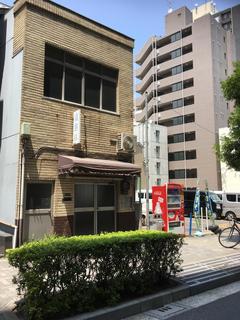
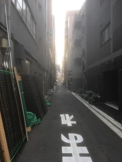
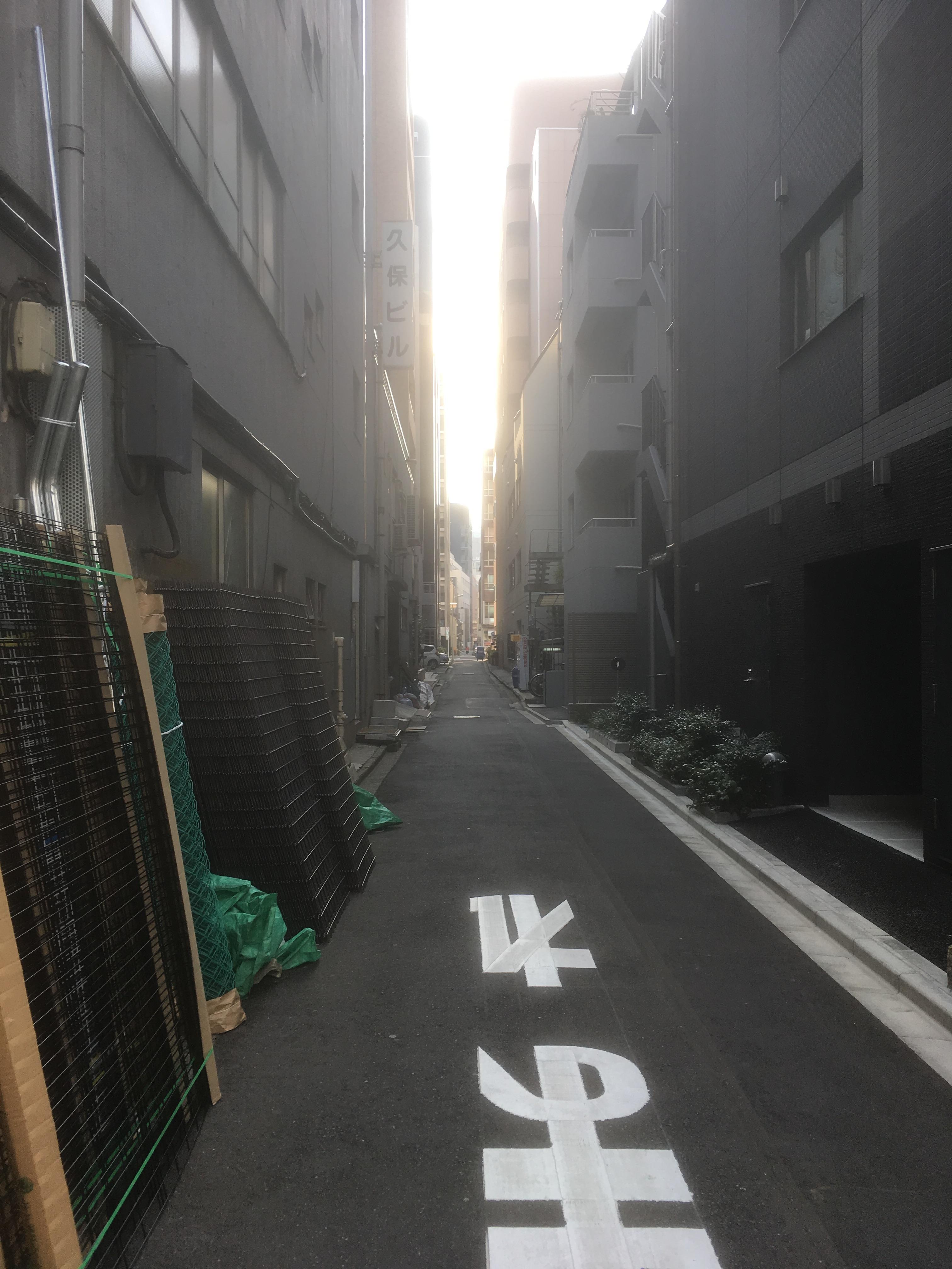
The photo on the left is a photo taken from the back side of Nihonbashi Elementary School and from the Koamicho side.
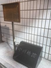
By the way, according to the information board of the "Inaribori Ruins" earlier.
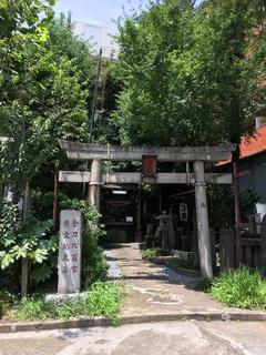
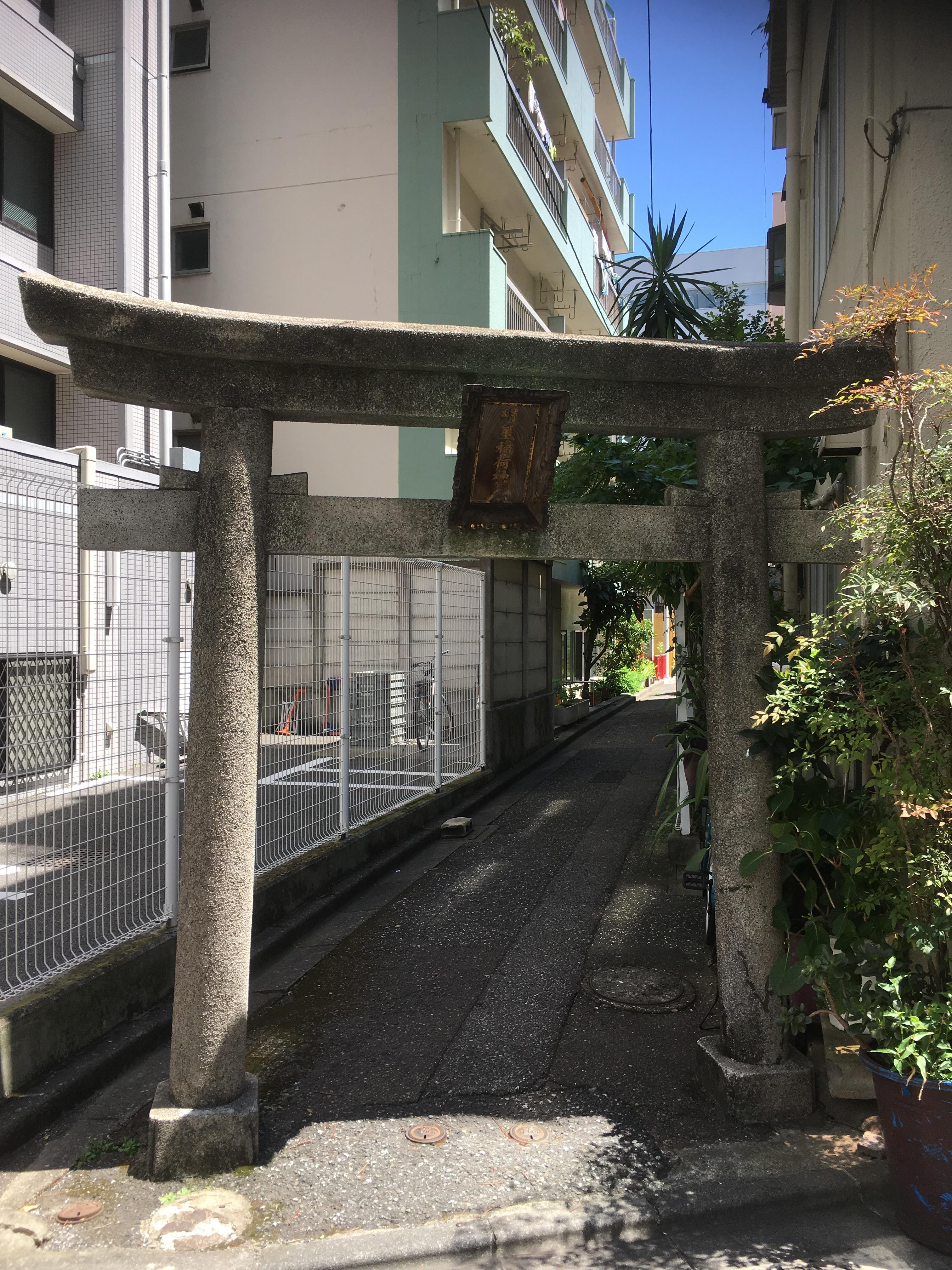
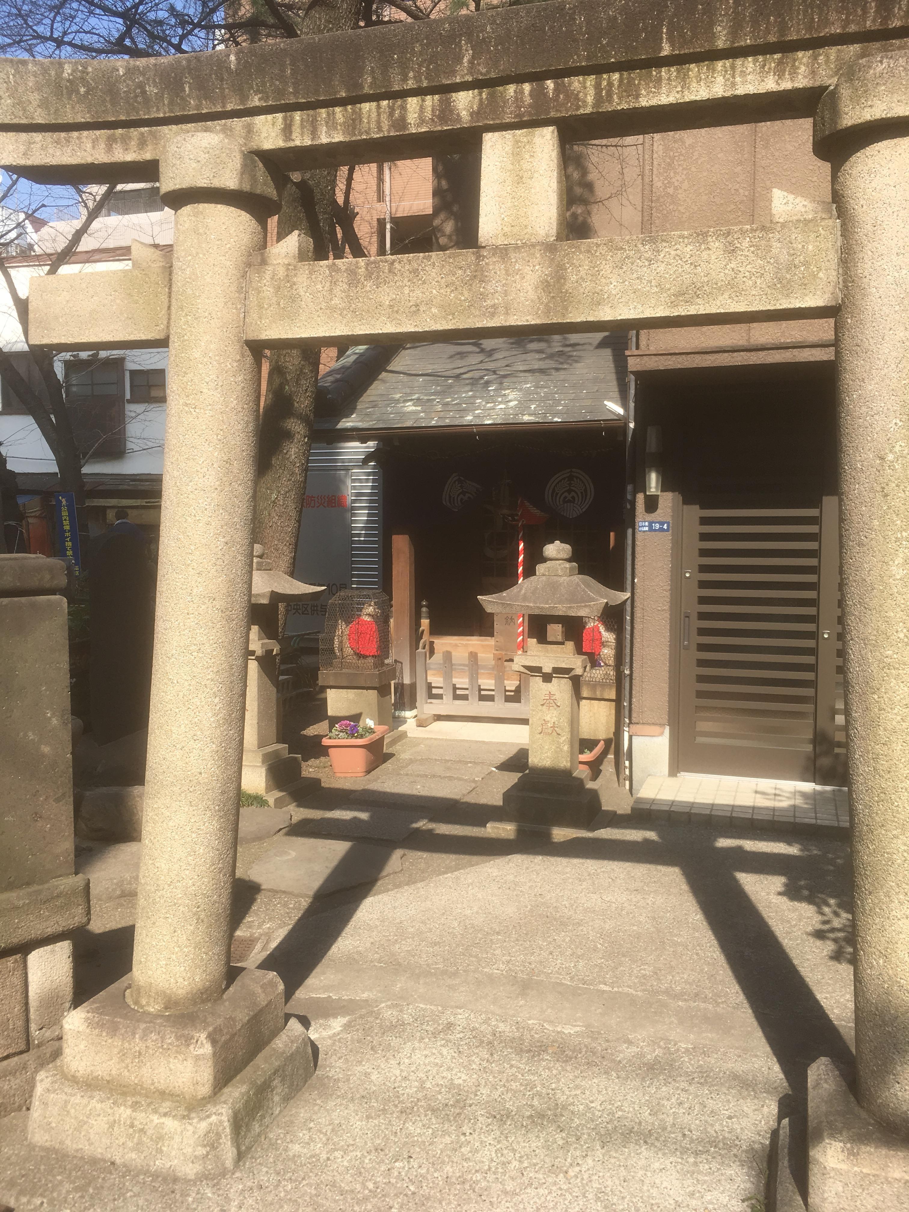
"The common name of" Inaribori "is derived from the fact that Inari Shrine was enshrined in the northwest of the Ando family residence on the west side of the moat." What is Inari Shrine? I tried to find out which Inari Shrine was.
 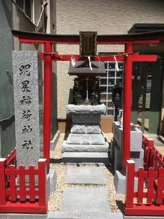
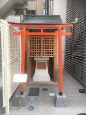
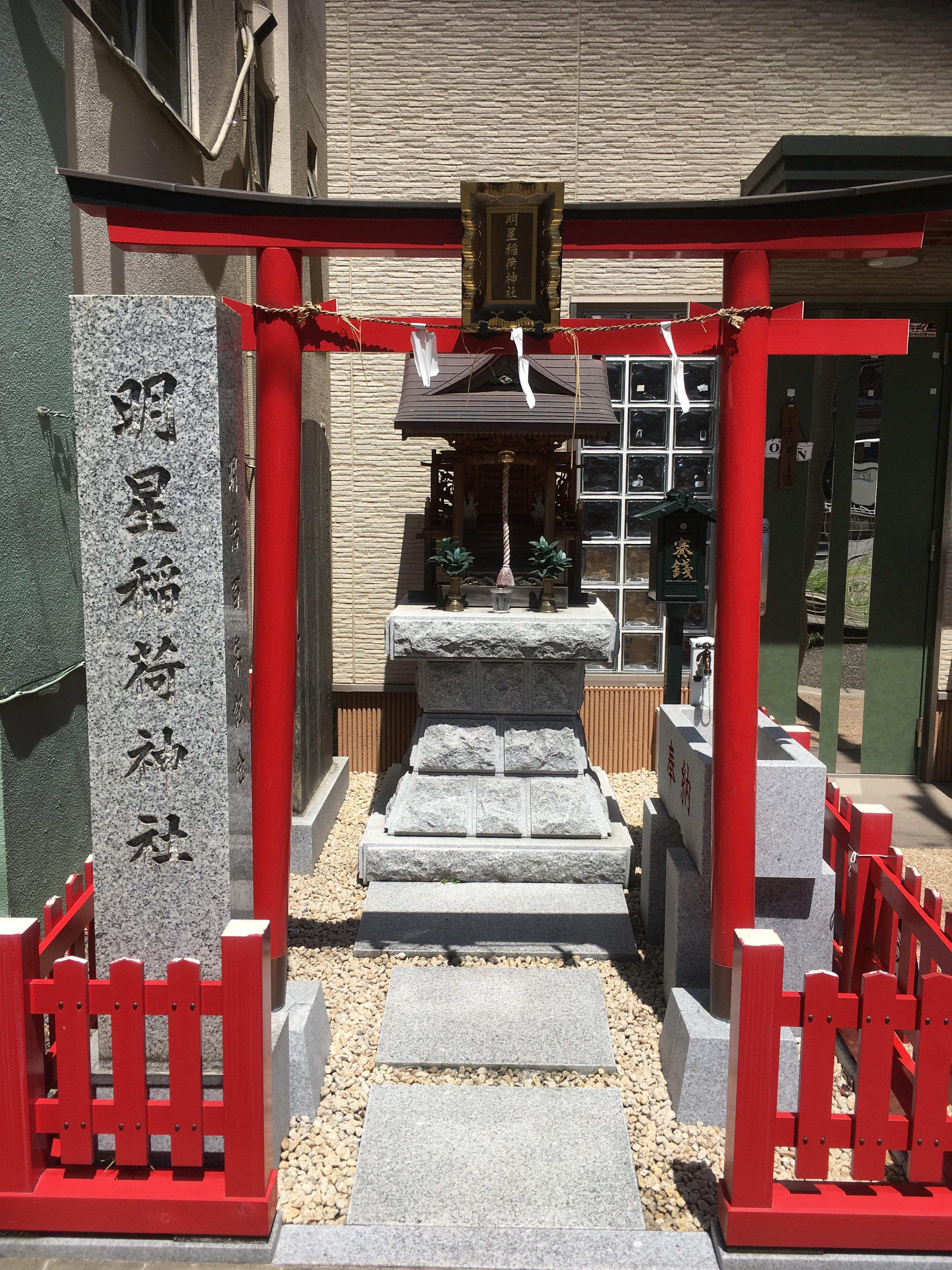
The first thing you can think of is Venus Inari Shrine. The current location is also located at Nihonbashi Koami 4-chome, within the ruins of the Ando family residence. But he did not stand northwest of the site of the Ando residence.
Venus Inari Shrine is also famous as a shrine to search for lost objects, and it seems that there are worshipers from Kyoto and Osaka in the distance.
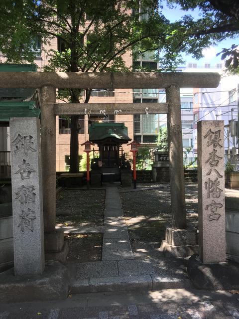
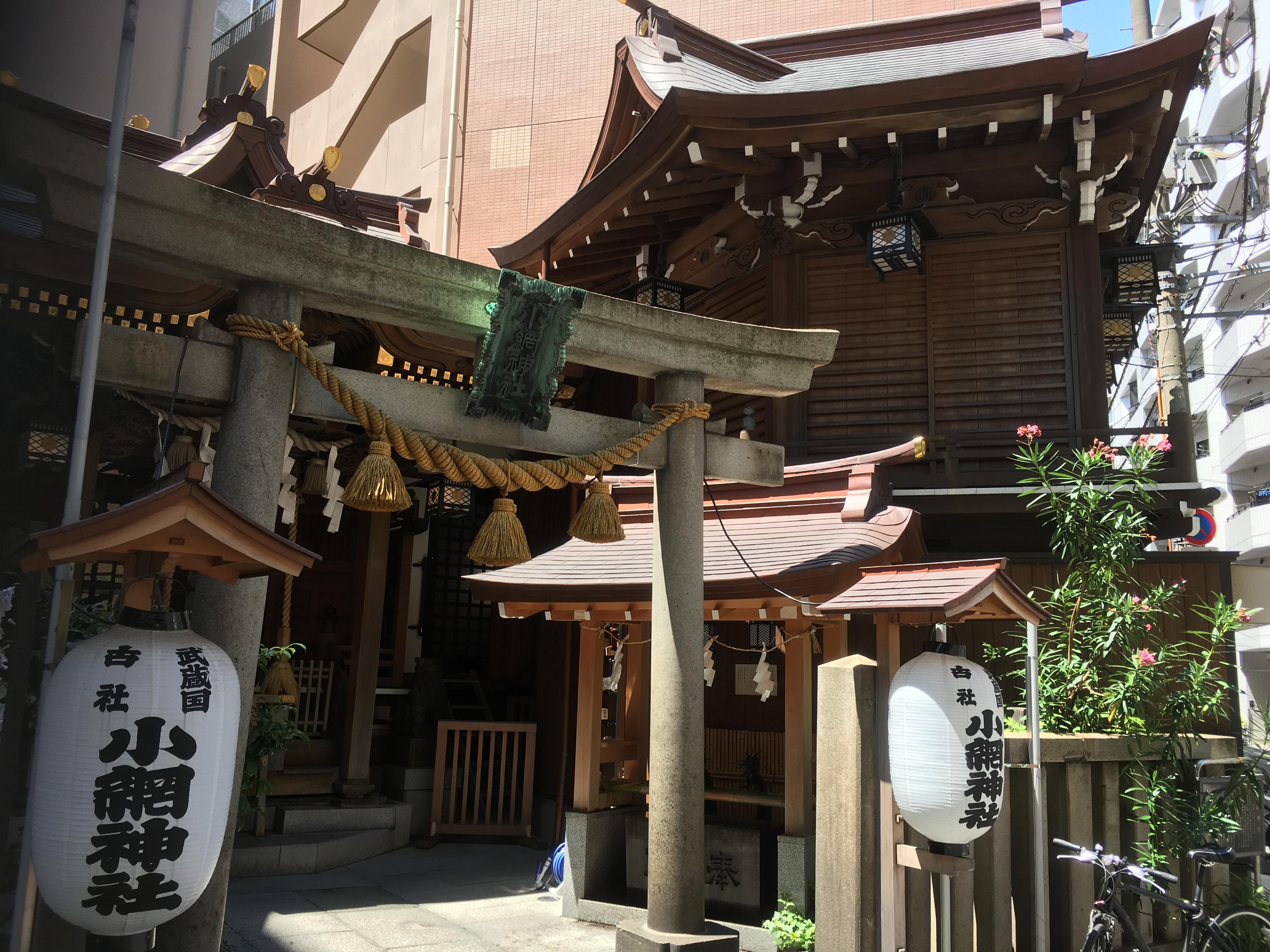
Secondly, is Koami Shrine?

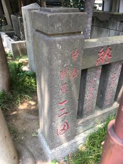
"The name of Inaribori is Inari to the west of Ando's residence (Venus Inari and Koami Inari depending on the Edo map).
Description) Because there was a reading of Inari, "Tokabori", commonly called "Tokabori".
"River Map Dictionary Edo, 23 wards of Tokyo" written by Kenji Sugawara
Koami Shrine stands on the extension of Tokanbori Street. With that in mind, what is this Inari Shrine?
Or is it Ginkgo Inari?
"At that time, Ginkgo Yahata was still worshiped on a small mountain. The mountain was seen just outside the wall on the north side of my house, and the large ginkgo towering high in the sky, based on its name. A small stream, which could not be neither a ditch nor a river, came from the east, and turned into a key along the fence. This is Inaribori, and I vaguely remember to see a person setting an eel basket on the duck of this stone wall, such as in the morning fog and in the summer morning when the morning fog is still clear. "
"News from Local Room" No. 21, Arinashiyawa is an infant's book by Yusaburo Okakura"
After all, there was no answer.
In this city walk, there were no discoveries related to Inaribori, but I thought and examined various things from "Toka".
Then what I actually felt on foot was too large for the use of clan residences in the Edo period. If this is modern, wouldn't property tax be quite expensive?
Last but not least, the area around Kakigara-cho along Inaribori was also a place where ceramics wholesalers concentrated from the Meiji era to the early Showa era. As a remnant, Ningyocho holds "Setonoichi" every year.
By the way, this year's schedule is from August 6 (Mon) to August 8 (Wed).
Maybe you can get valuable Setomono at a reasonable price.
Please invite all of you and carry your feet.
[Hikoharu Co., Ltd.]
July 29, 2018 14:00
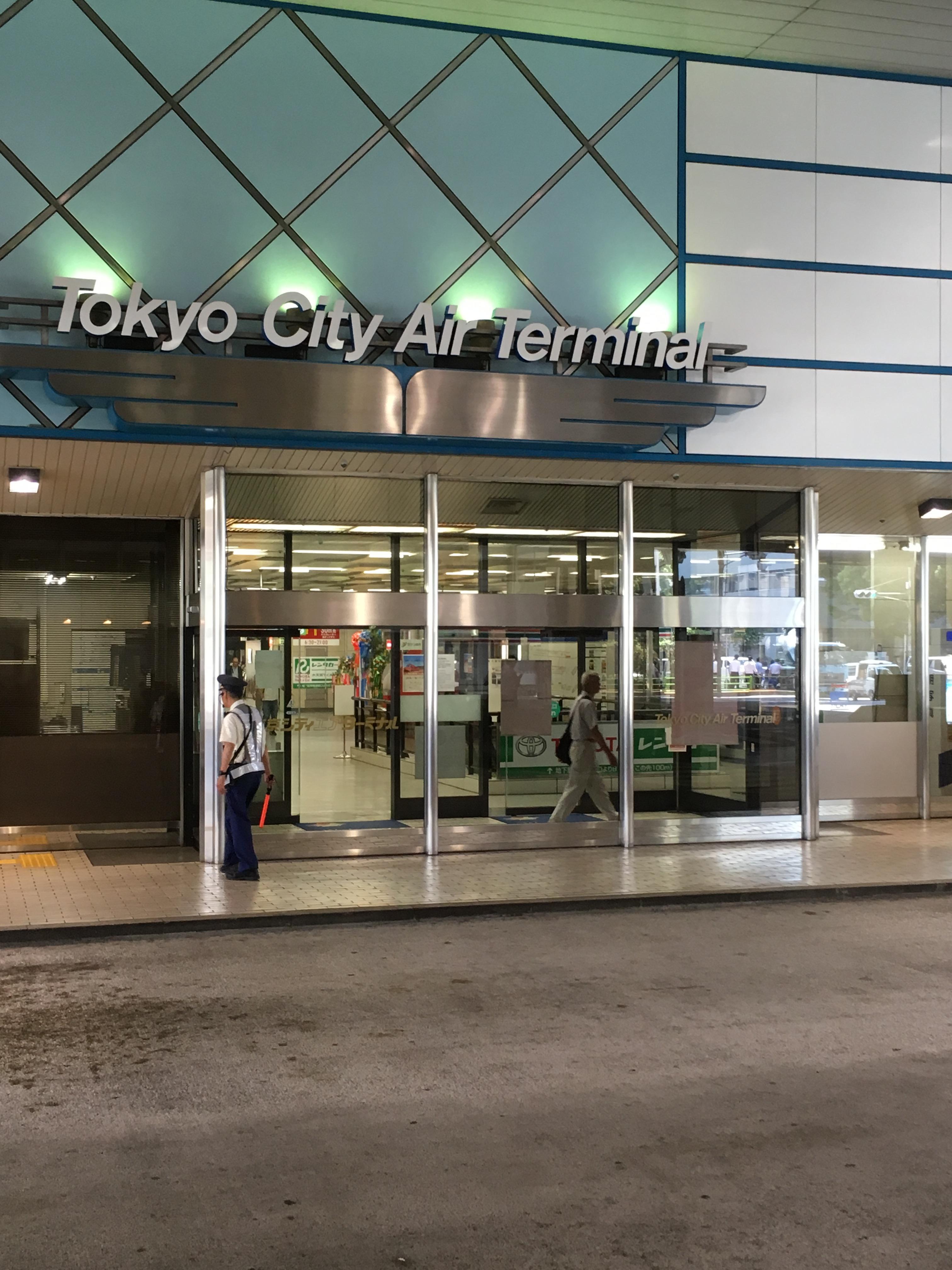
The Hakozaki River consisted of a main stream of 1.06 km from Nihonbashinakasu to Nihonbashi River, and a tributary of 0.12 km between Nihonbashinakasu and Nihonbashihakozakicho. And in 1971, the main stream was reclaimed and disappeared in 1972. At this time, Nihonbashihakozakicho and Nihonbashinakasu became the first land connected to Nihonbashikakigaracho and Nihonbashihamacho. By the way, Nihonbashinakasu has a single town name that does not have a "Chome". The reclaimed land has the Metropolitan Expressway and the Tokyo City Air Terminal.
This project is to walk along the site of Hakozaki River.
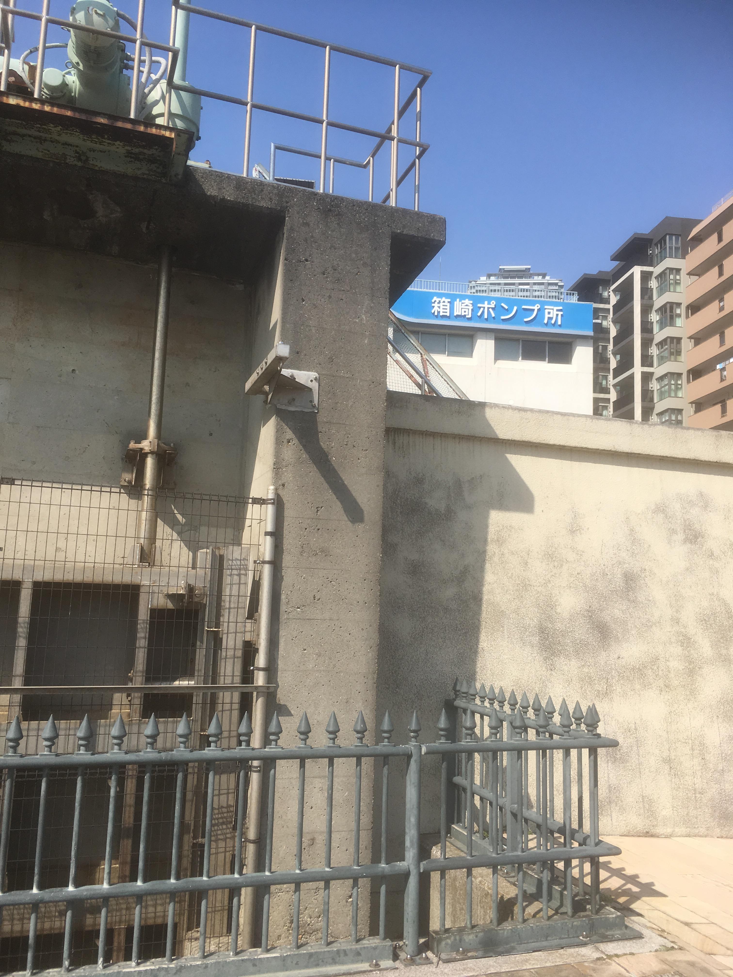
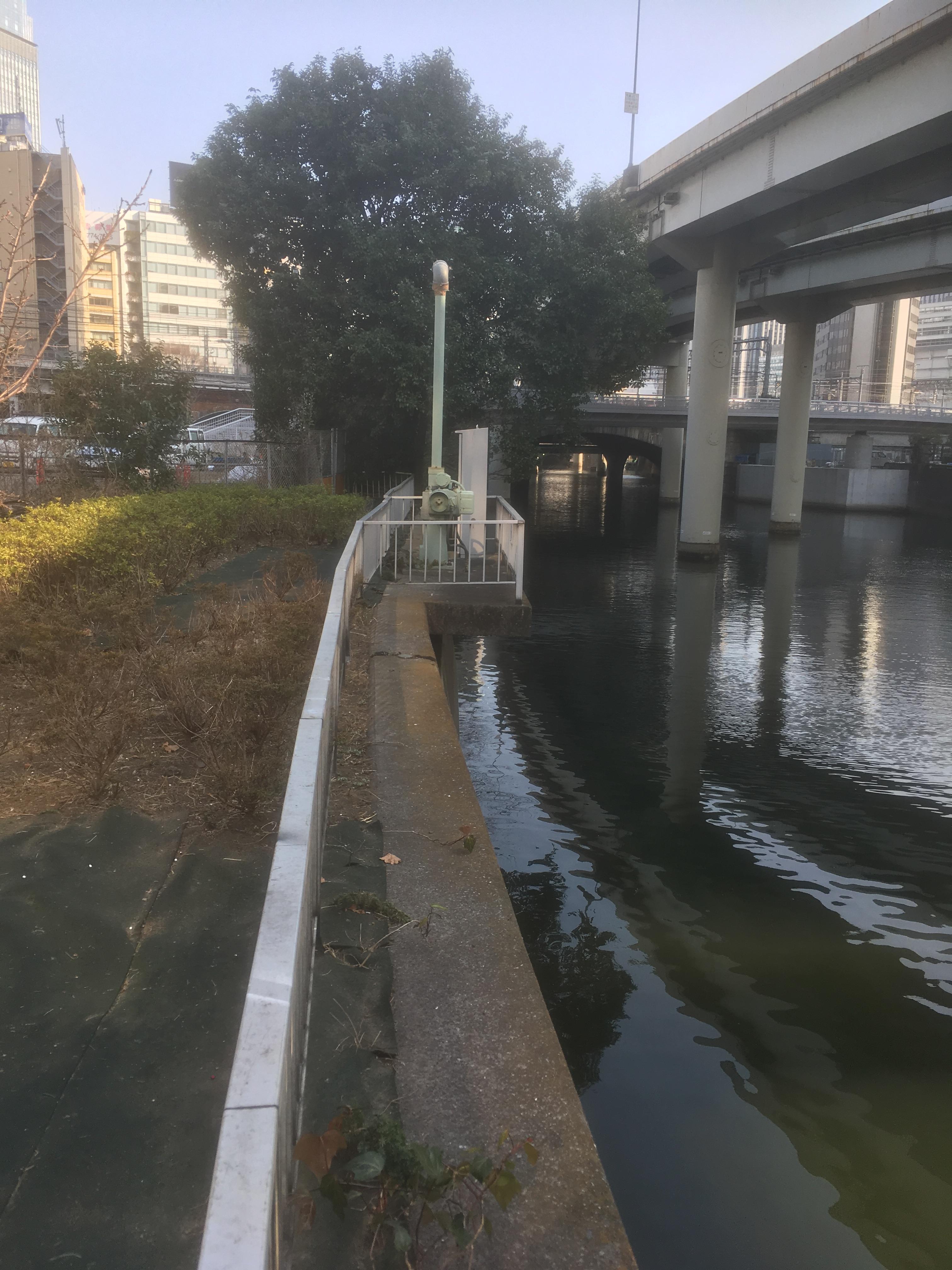
The starting point will be a little upstream of Kiyosu Bridge. Even today, there was a sluice gate.
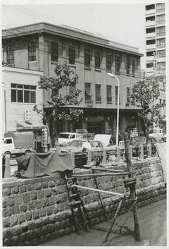
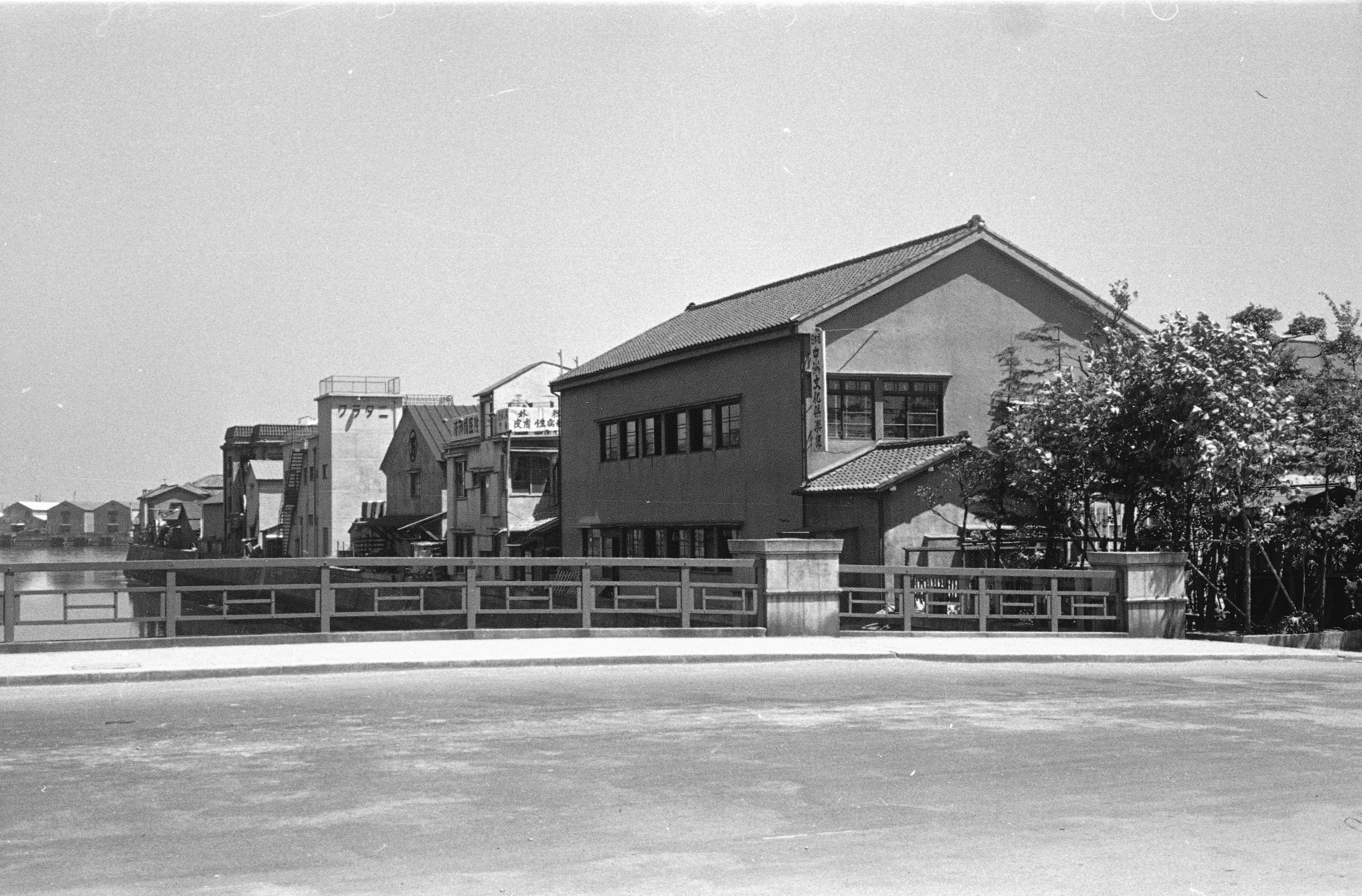
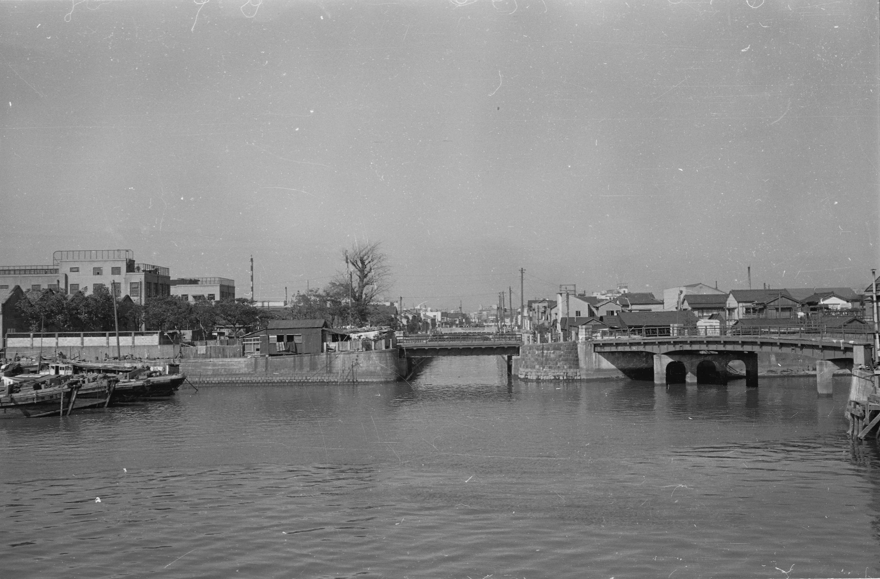
When I got off the Sumida River Terrace, it was Ayame Daini Park. Ayame's name comes from Shobu Bridge on the Hakozaki River. The photo on the right seems to be the revetment of the Hakozaki River. The seawall curves to the right, but this land was the tip of Nakasu.
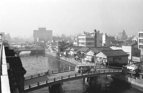
"Photos provided by Chuo Ward Kyobashi Library"
From the bridge in the foreground to Otokobashi and Shobu Bridge Membashi. In other words, it was taken from the Nakasu tip area to Hamacho and Kakigara-cho.
Walking through Ayame Park, you can see a number of revetments of the Hakozaki River.

"Photos provided by Chuo Ward Kyobashi Library"
The photo above shows Shobu Bridge in the Showa 30s below shows the current ruins of Shobu Bridge. The top of the Hakozaki River is the Metropolitan Expressway. Kotohira-gu Shrine is located behind the trees on the right side of the upper and lower photo. Kotohira-gu Shrine still stands at the base of Shobu Bridge.
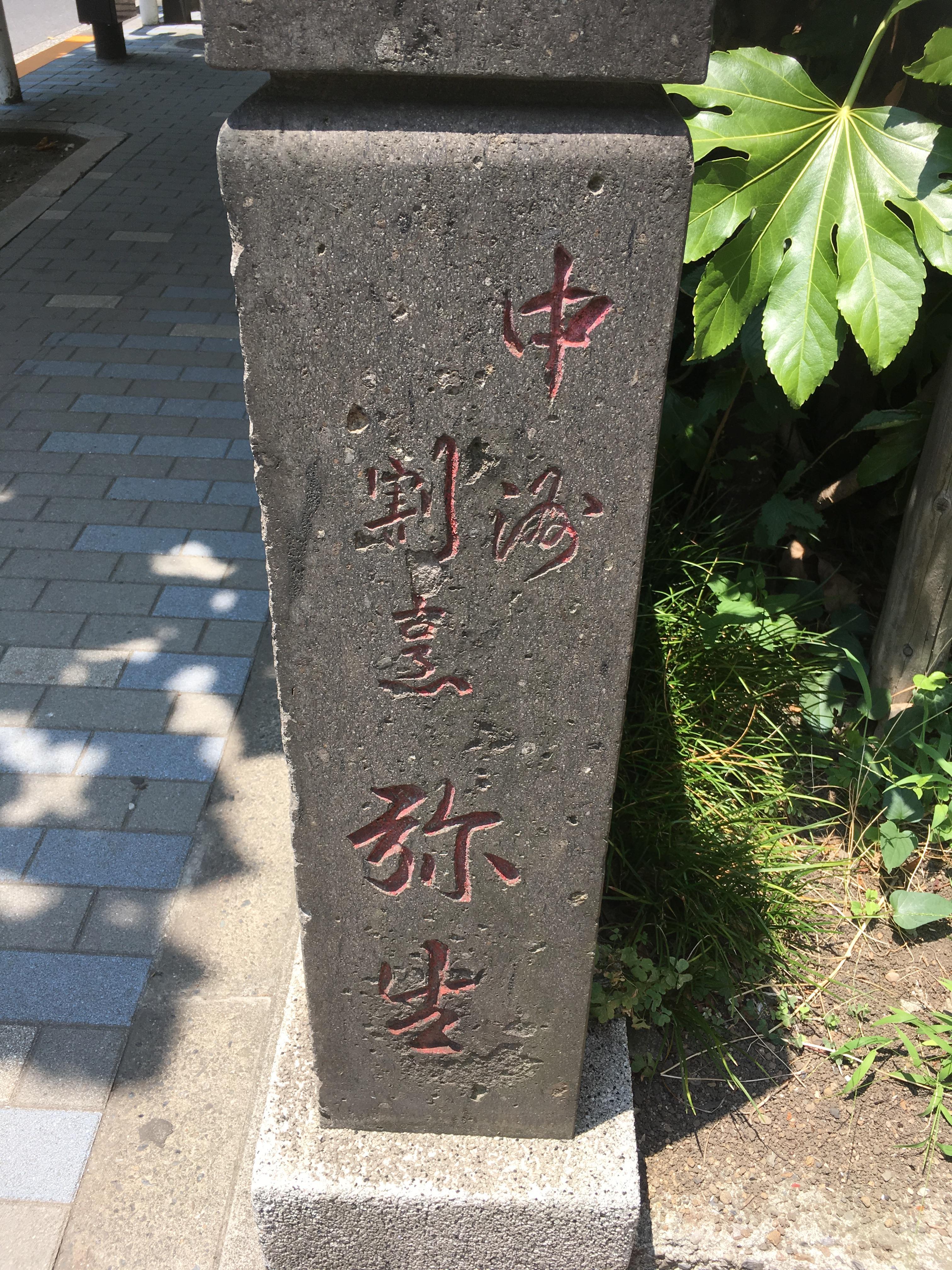
The photo on the upper left is from the front of Kotohiragu Shrine. If you look at Tamagaki contributors, you will notice that there were many Kappo cuisine restaurants such as Yayoi Nakashu Kappo cuisine, Mita Nakashu Kappo cuisine, Nakashu Kappo cuisine Nakashu. Today Nakasu is full of condominiums and I can't imagine that there was such a Kappo cuisine restaurant in Nakasu. And it is Masago-za that must not be forgotten in Nakasu.
"Photos provided by Chuo Ward Kyobashi Library"
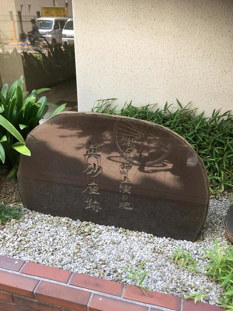
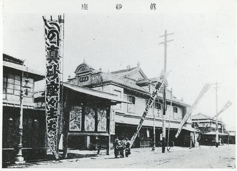
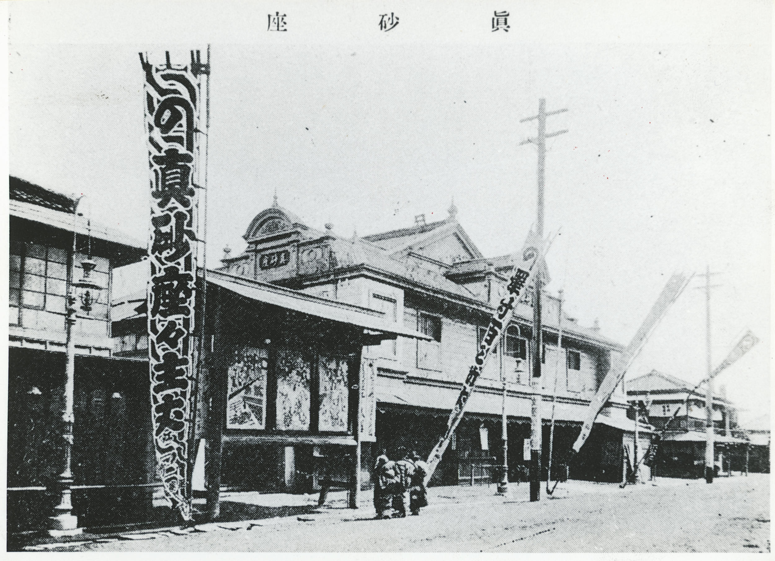
The photo above is Masago-za in the Taisho era. The photo below is a stone monument of the site of Masago-za, which remains sorry for the planting part of the apartment.
"Masago-za was built in January 1893 in Nakashu-cho, Nihonbashi-ku, and was named after its name in the drama history from the latter half of the Meiji era to the Taisho era, eventually connecting a free theater and later developing into a Tsukiji Small Theater. Abbreviation
・・・ Since 2014, Nakashu was Masago-za, and Masago-za was synonymous with Chushu."
"From the history of Chuo-ku,"
However, due to the inconvenience of the location, the number of customers was far away, and in 1917 it was closed.
And when you walk to the entrance of the Metropolitan Expressway Hamacho, it used to be the junction of the Hakozaki River and Hamacho River.
In the photo, the right is Mebashi, the front is Kawaguchi Bridge, and the front is Hamacho River ahead.

"Photos provided by Chuo Ward Kyobashi Library"
At present, it is the entrance to Hamacho Ryokudo Park.
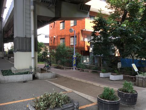
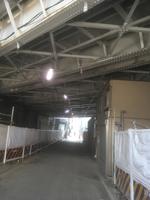
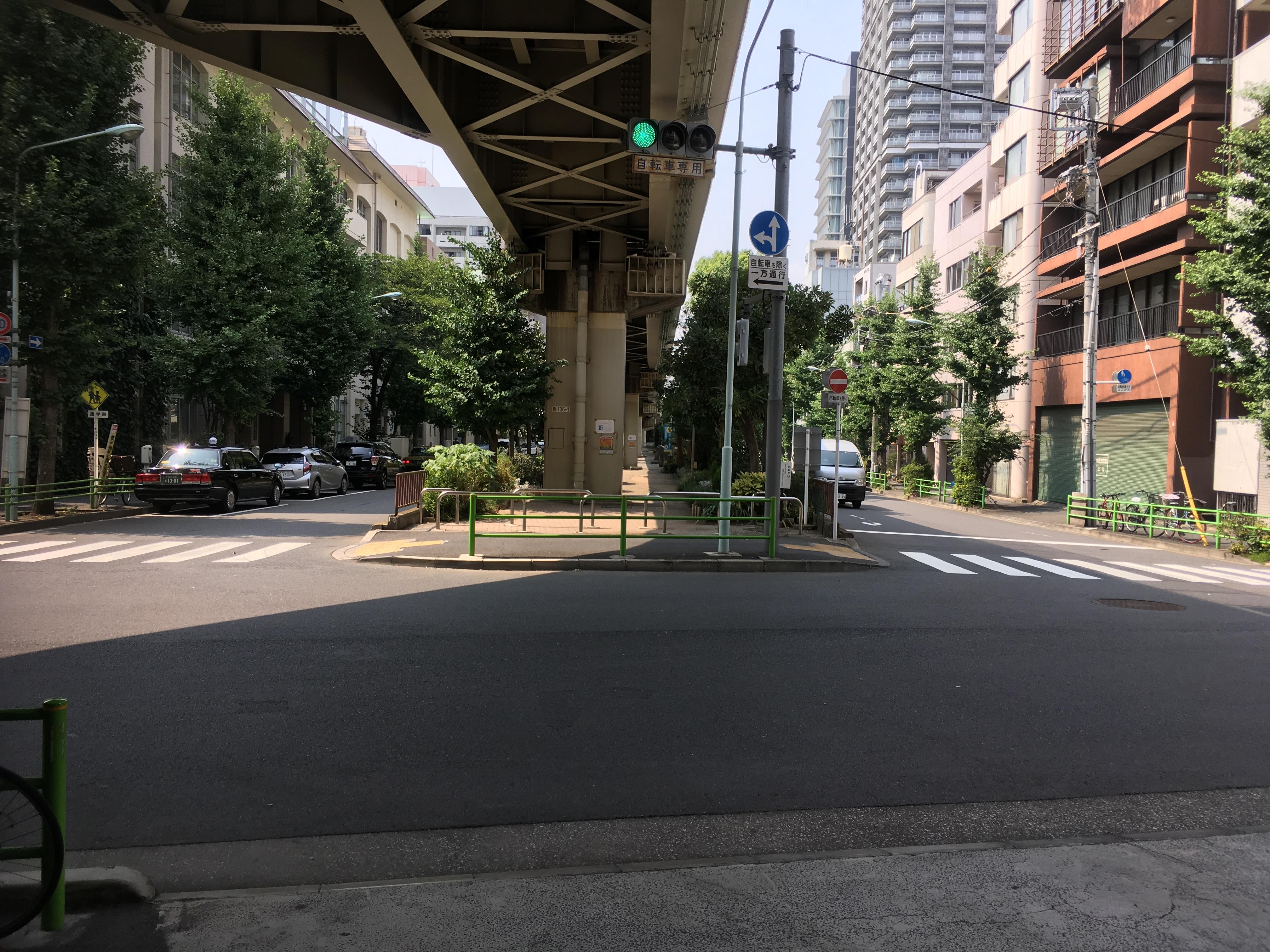
Then cross the Tokyo City Air Terminal and head toward Hakozaki. I also found the revetment of the Hakozaki River next to the sidewalk that I have visited hundreds of times so far. I regretted a little that I didn't notice anything when I walked with B.
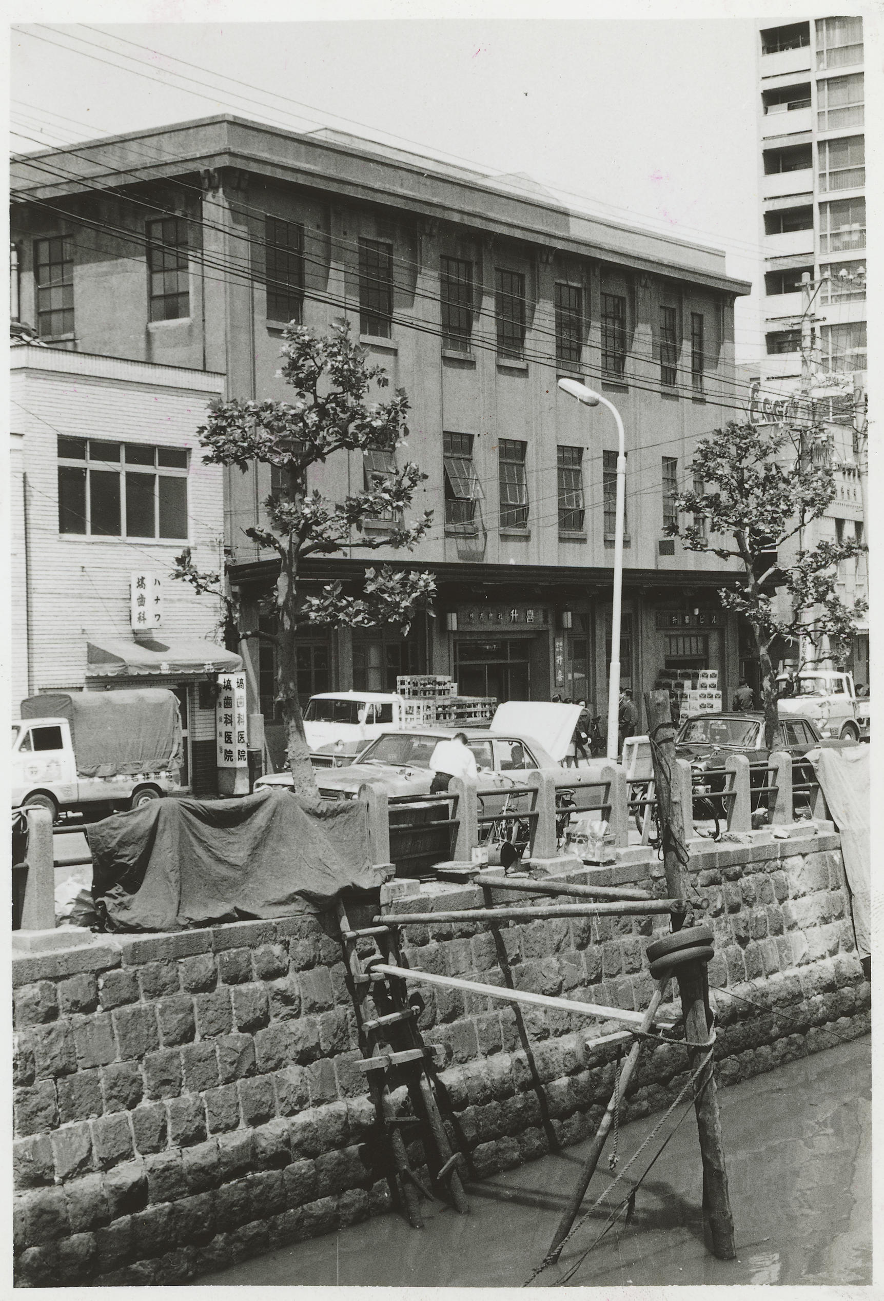
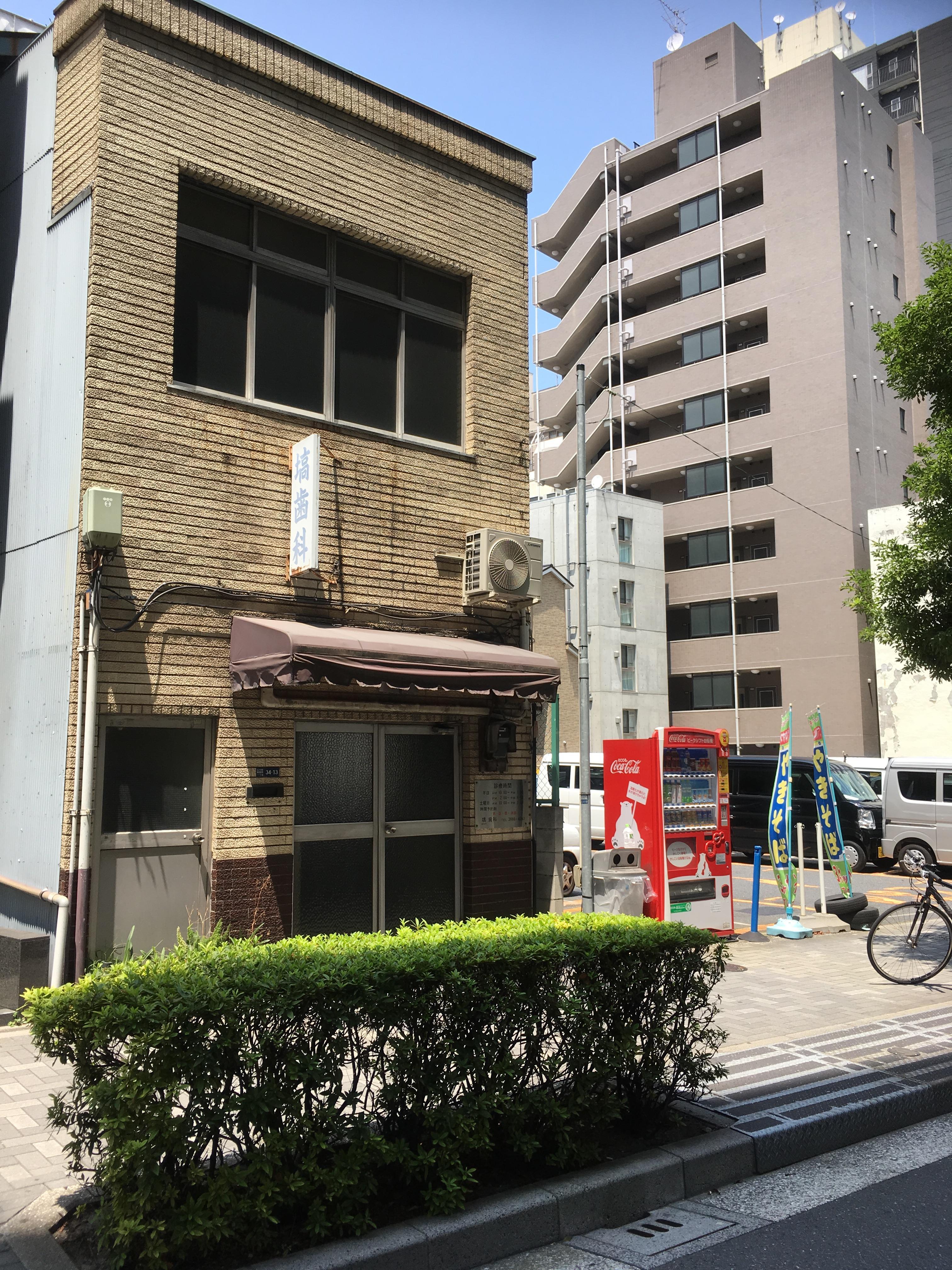
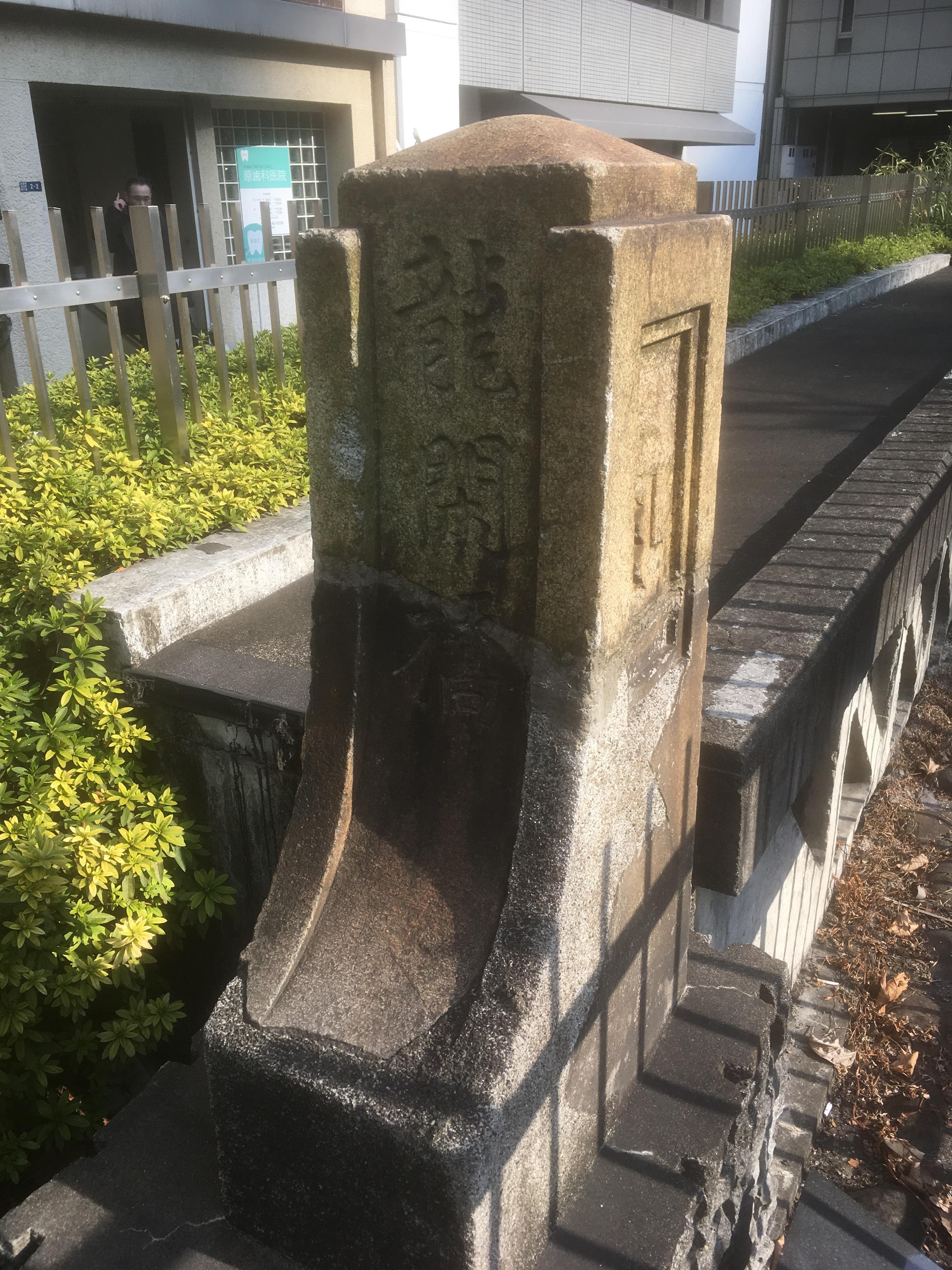
The photo in the lower left is a photo of Kakigara-cho from Shin-Eikyu Bridge. The photo at the bottom right shows the current photo. The photo on the left is probably in the 1940s. The window frame of the building on the left side of the photo matches the sign of the dental under the window.
"Photo courtesy of Kyobashi, Chuo-ku Library"
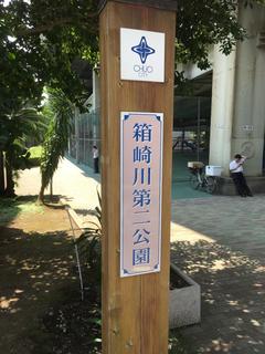
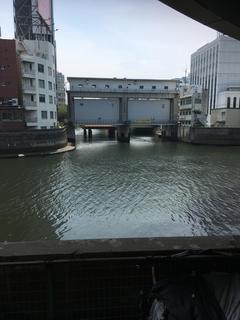
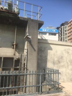
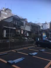
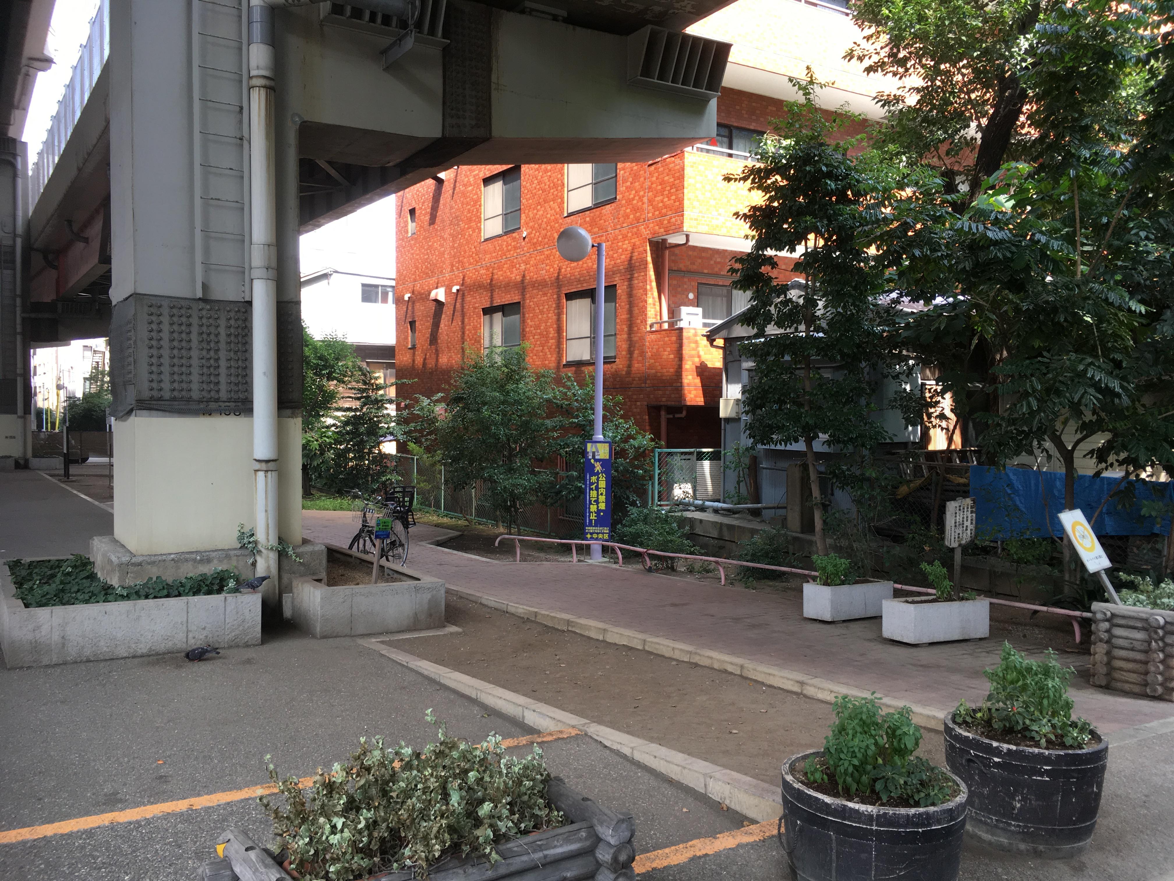
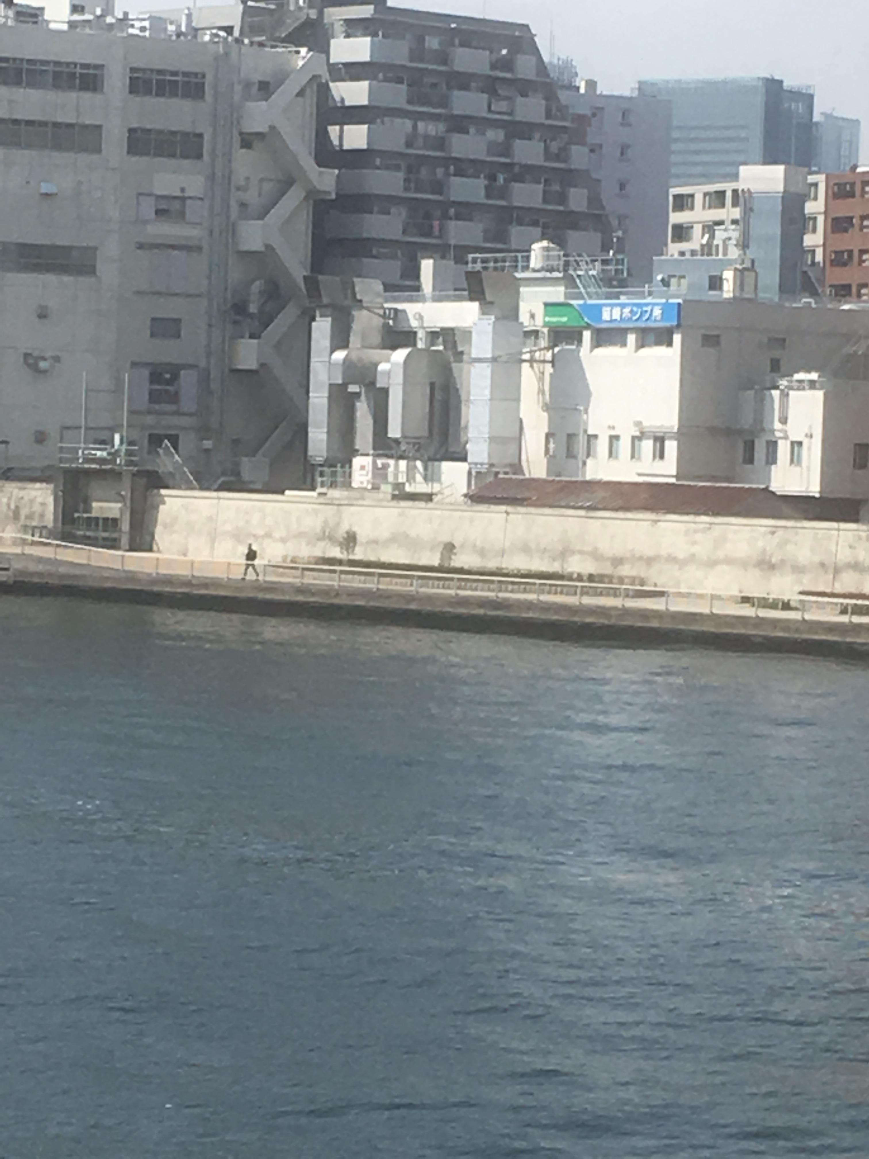
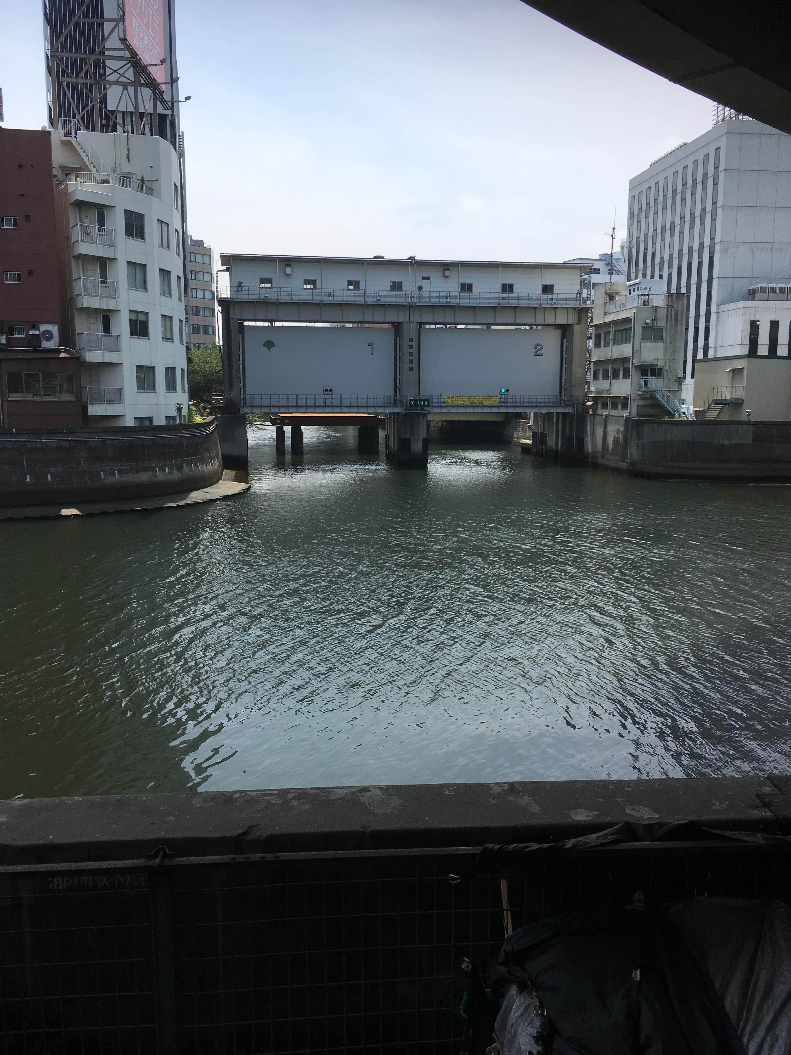
And I came to Hakozaki River Daini Park and Hakozaki River Daiichi Park.
This is also the end of this city walk. I can see the sluice gate of the Kamejima River.
Hakozaki River, the revetment traces still remain everywhere. I wondered that Nihonbashinakasu is now coming and going as usual, but it wasn't connected to land until just 46,47 years ago. It was also a good opportunity to reconfirm the history of Nihonbashinakasu.
It's been a hot day since then. Be sure to practice hats and frequent water supply when walking around the city.
[Hikoharu Co., Ltd.]
May 1, 2018 14:00
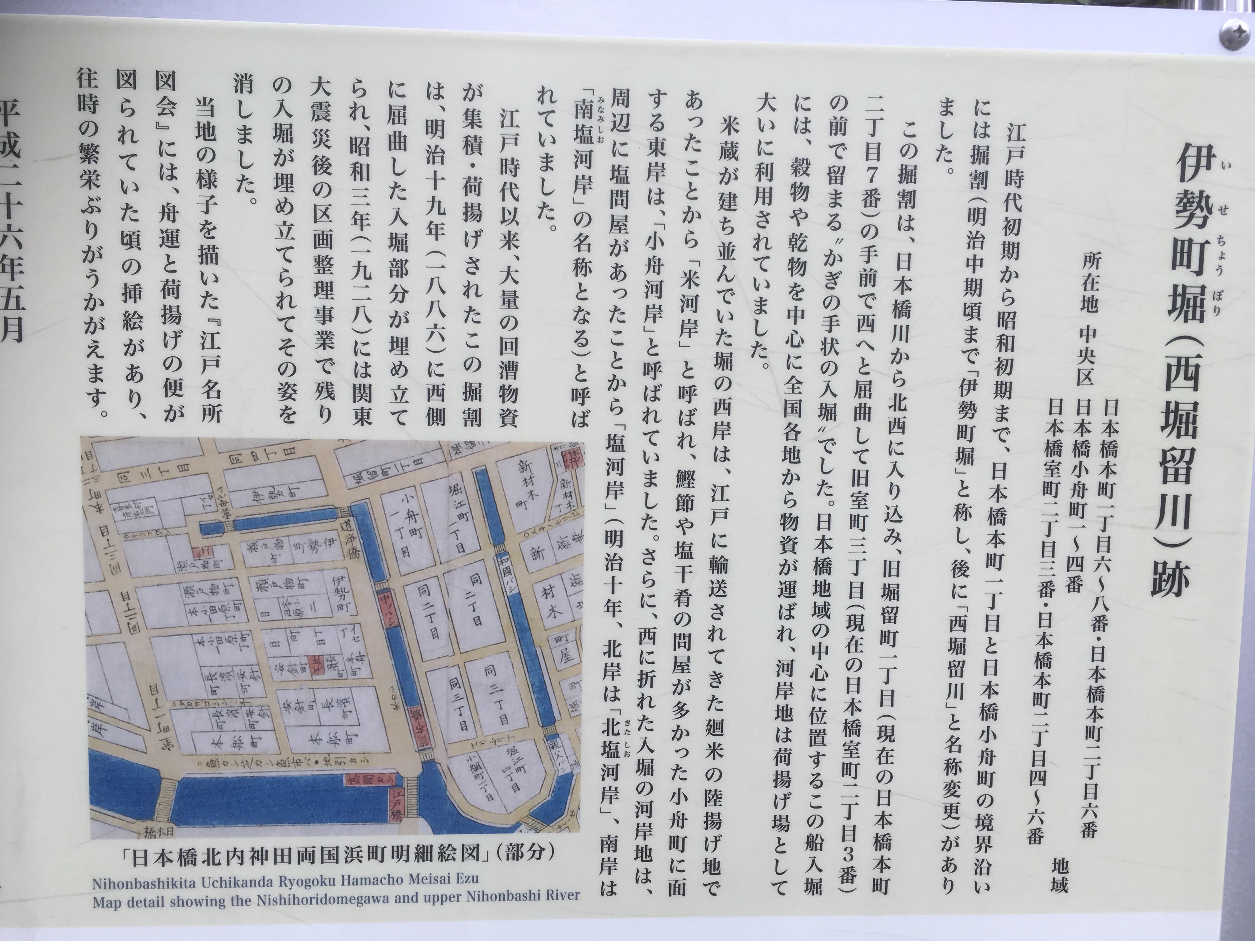
I think everyone knows the Higashiboriru River, but it seems that it was originally the mouth of the Shakujii River.
"The former Shakujii estuary, which lost the flow from the upstream, will play a central role in boating as a riverbank connecting to the Nihonbashi River, once again maintaining Isecho moat (Nishiborirugawa) and Horiecho Iribori (Higashiborirugawa). It will be. " "From Chuo Ward Kyobashi Library Local Room Newsletter No. 156"
I thought it was a moat that had been drilled from the Nihonbashi River as a cargo listing in Edo.
This time, I'm planning to walk along the ruins of Higashibori Tsurukawa.

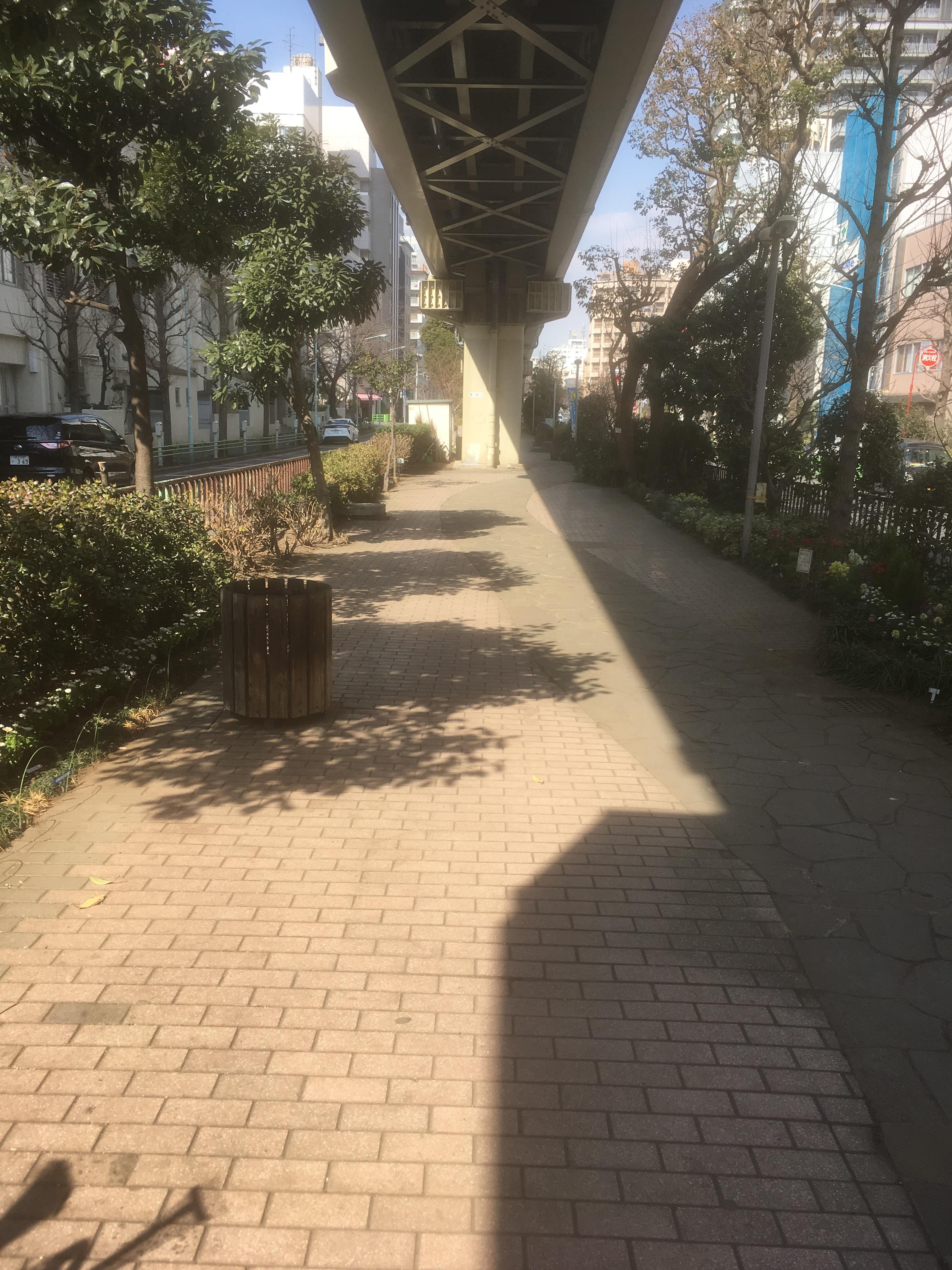
This information board is the information board at the site of Nishibori Rugawa at 1-chome Kobunamachi. The Higashiboriru River is the river on the right of the information board. There were three bridges on the Higashiboriru River, from the Nihonbashi River to Shisha Bridge, Father Bridge, and Manbashi. Unfortunately, it was reclaimed in 1949, and now you cannot see these bridges. Speaking of Shishibashi, it is said that it came to be called Shishibashi because I wondered whether to go to Yukaku or the theater in the early Edo period. The photo below is a photo of Shizuka Bridge in the early Taisho era.
<Photo: Kyobashi Library, Chuo Ward>
 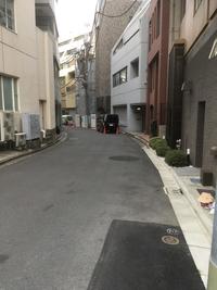
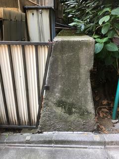
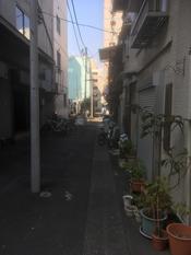
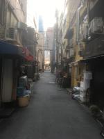
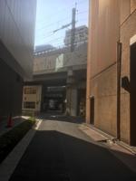
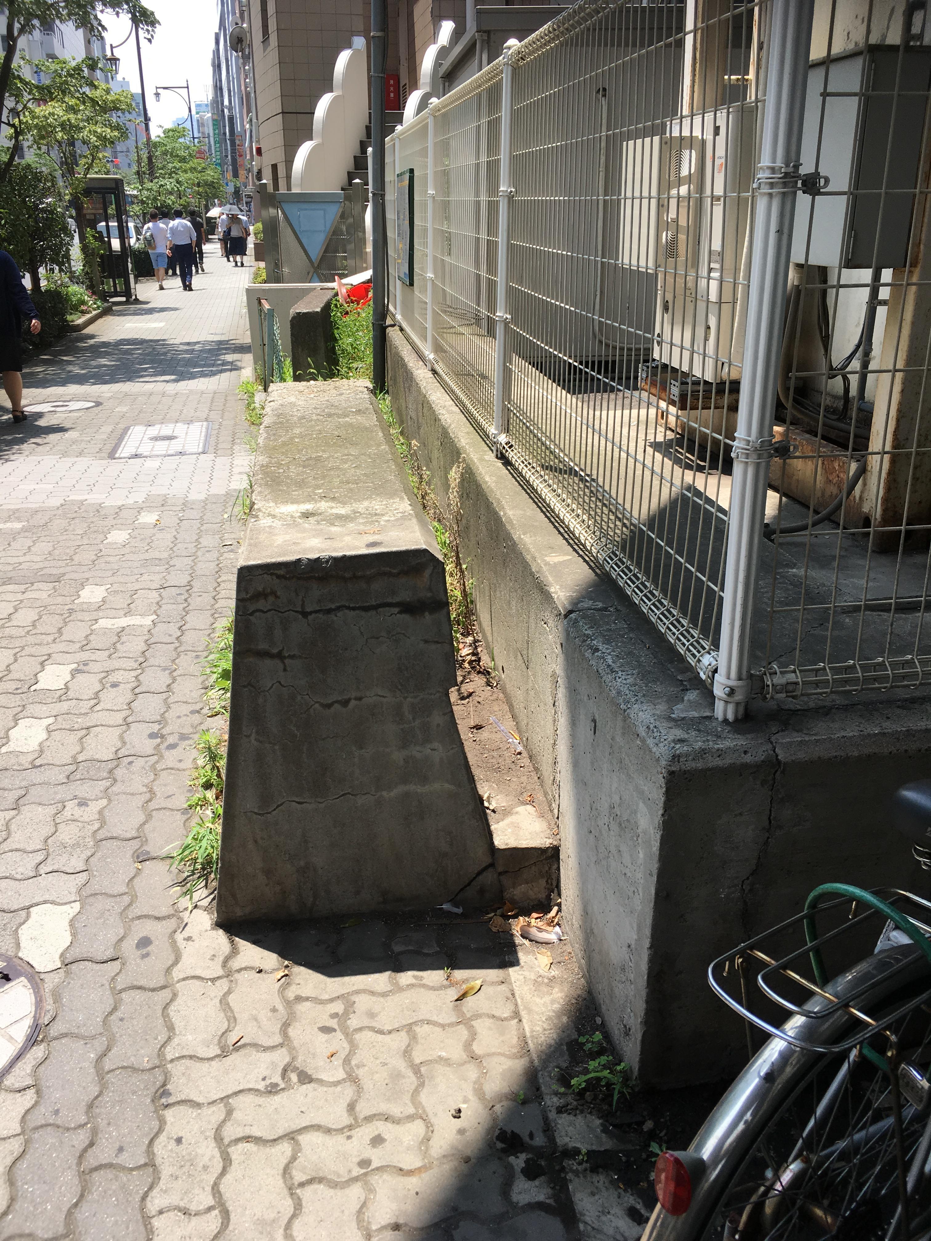
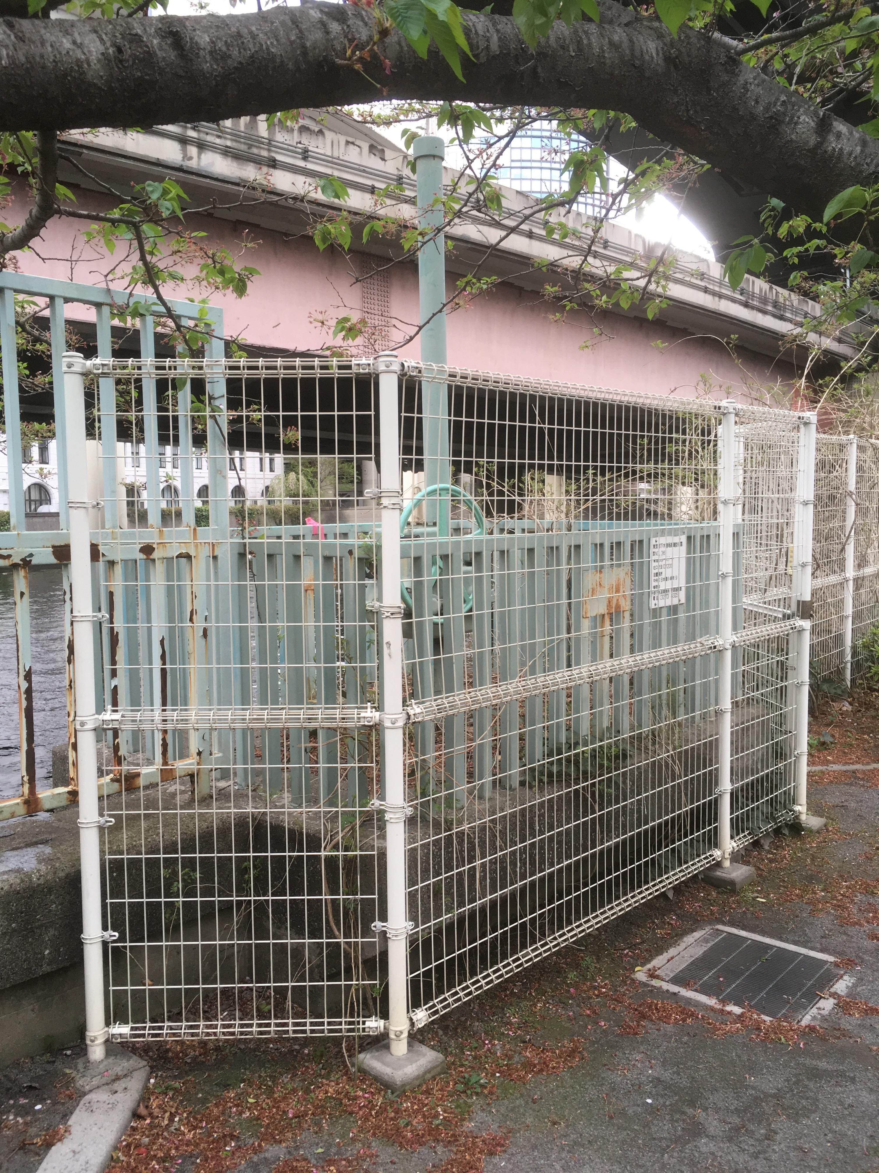
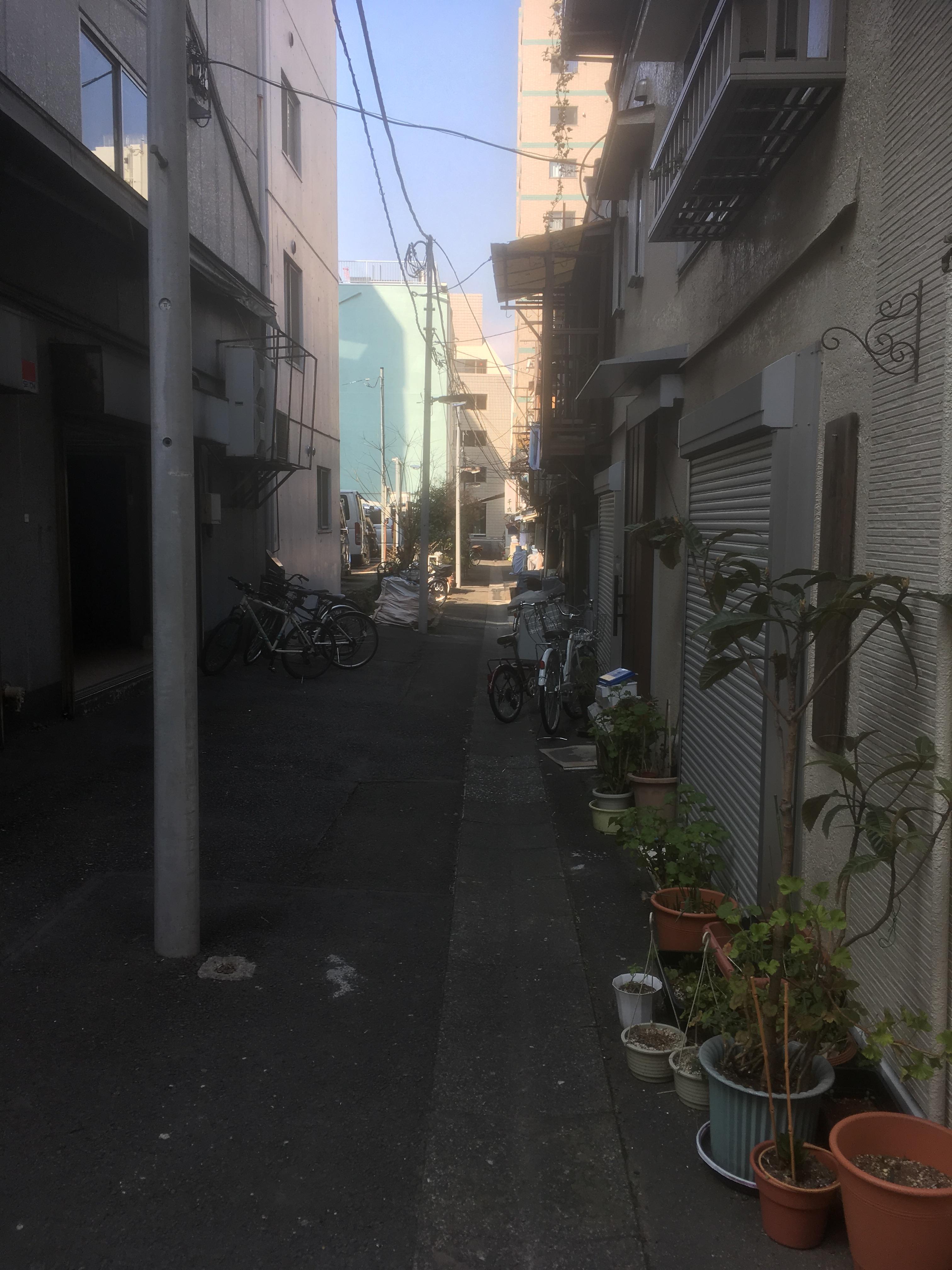
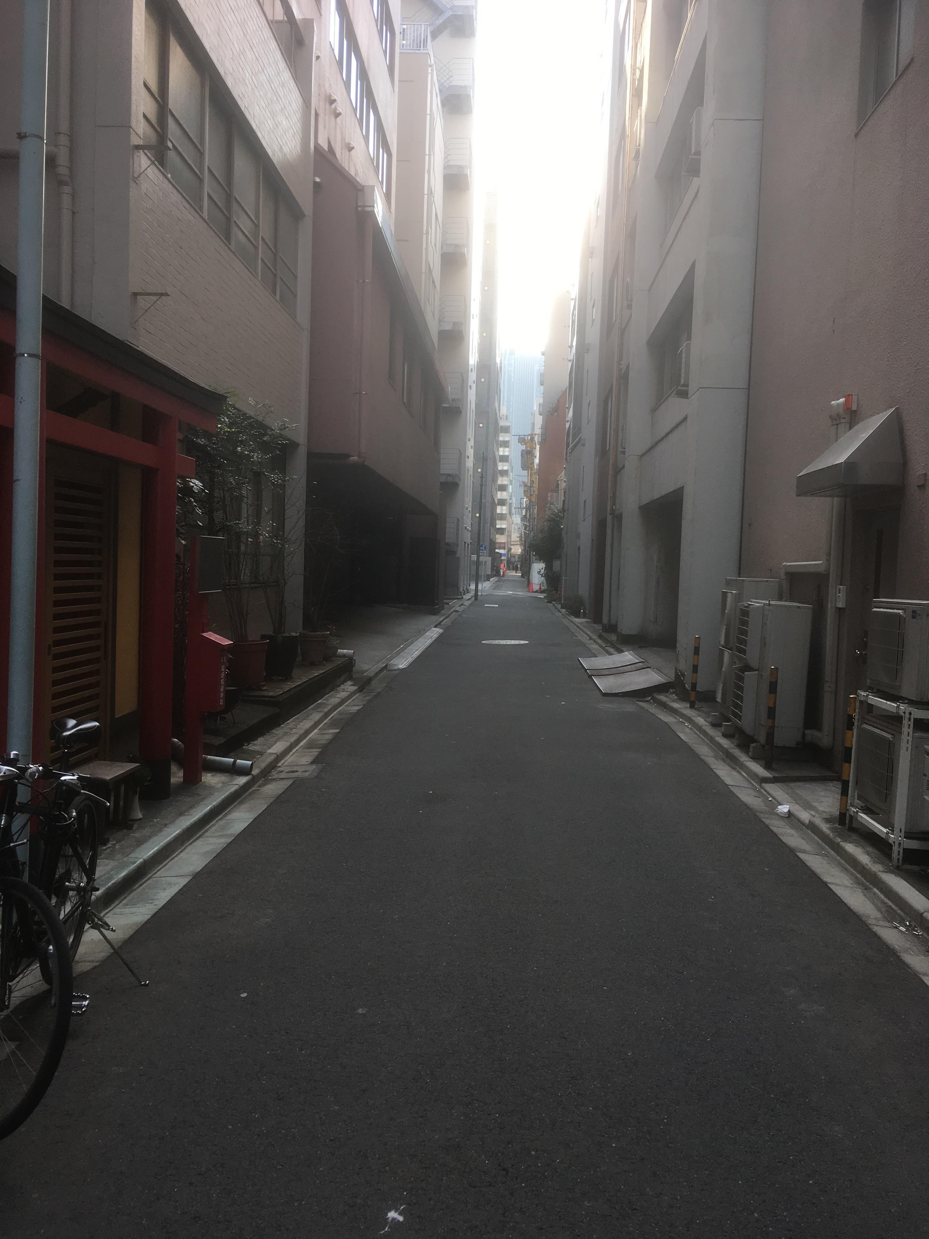
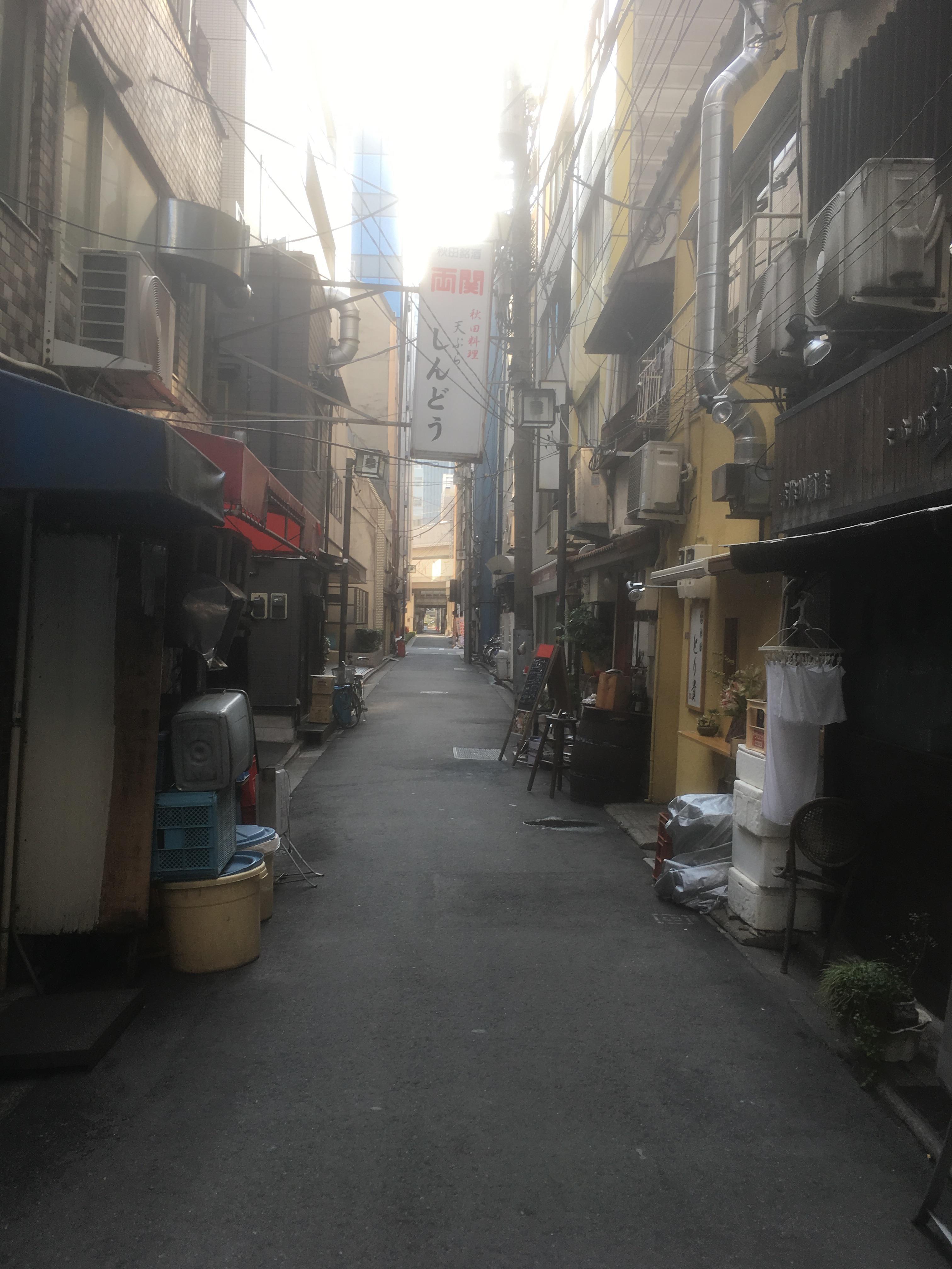
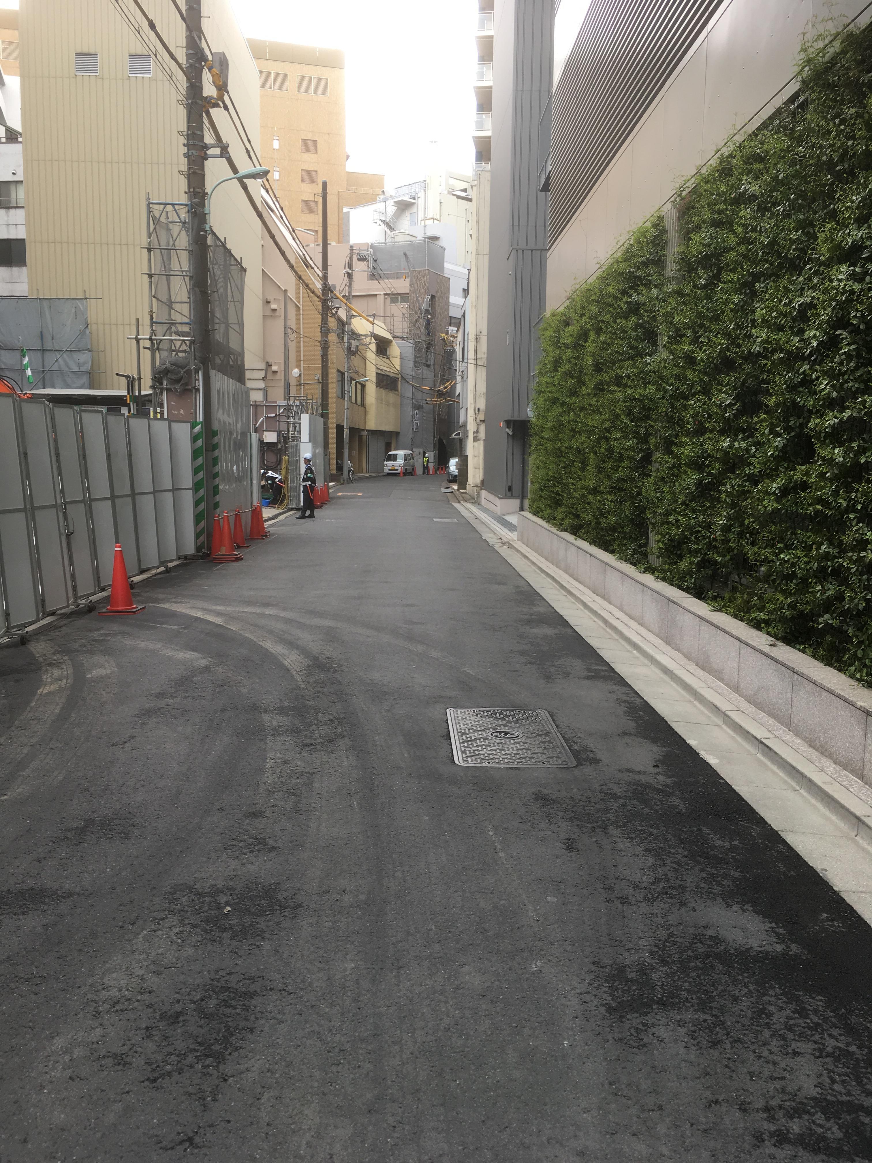
There was still a sluice gate at the connection point of the Nihonbashi River. This part is Koamicho Children's Amusement Park, and there is a public toilet in this park, but this area is the place where the thought bridge was located. The bend condition of the alley in the photo on the right matches the bending condition of the Higashiboriru River on the map above.
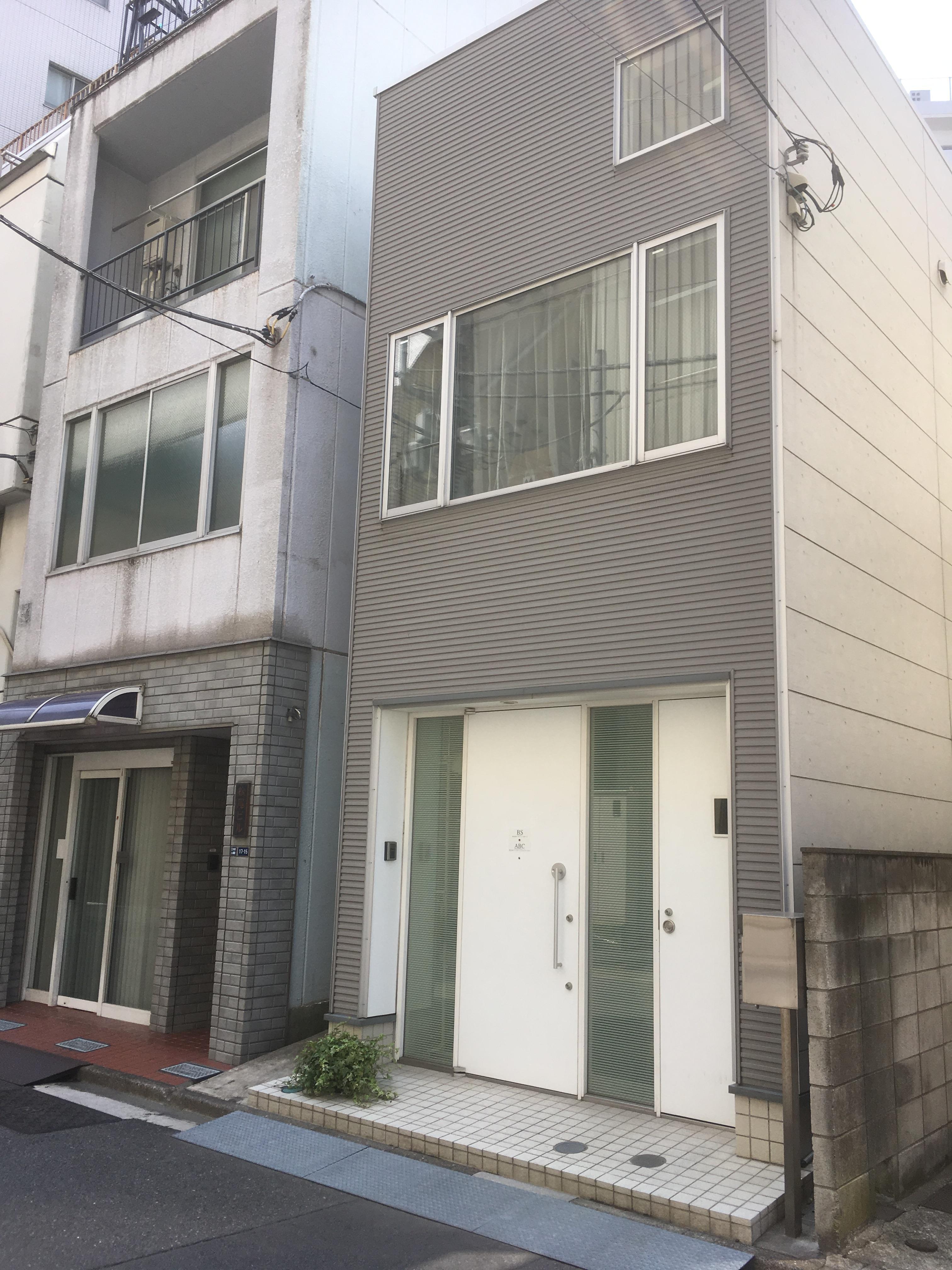
In the building facing this alley, you can still see "warehouse architecture" arranged in a modern style.
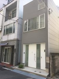 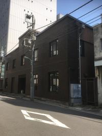
When the Higashiboriru River used to be, there would have been many warehouses near this area.
Personally, the "Horidome" exhibition of "Edo Famous Zoukai" came to my mind.
And it's near my father. The Higashiboriru River stretched from the front of the photo to the direction of the red light at the intersection. And this photo is also a photo of Father's Bridge in the early Taisho era. Of course, you can only see a two-story building.
"-Jinemon Shoji Jinemon, Jinemon, was called to the town of magistrate's office, and everyone in the rows, including Sadamori Honda, were all called their fathers and fathers, so people also heard and called them their fathers, and in November 1628, when Jinemon's initiative built a bridge that crossed Yoshiwara from the Edo area to Yoshiwara, he called him. "
The name of the bridge was related to Motoyoshihara, both Shishi Bridge and Father Bridge. Even today, people can be seen as Nihonbashi in Chuo-ku, but it would have been a bridge where many people came and went in the early Edo period.
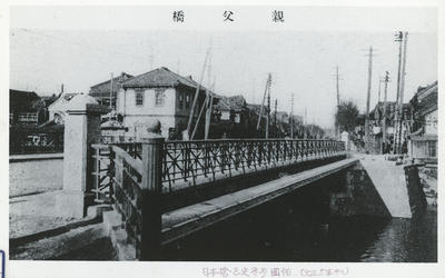
<Photo: Kyobashi Library, Chuo Ward>
Then, going straight at the intersection of the red light leads to Horidome Children's Park.
It is said that the river width of the Higashiboriru River was almost the same as this park.
 
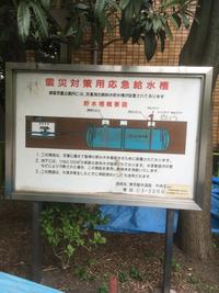 
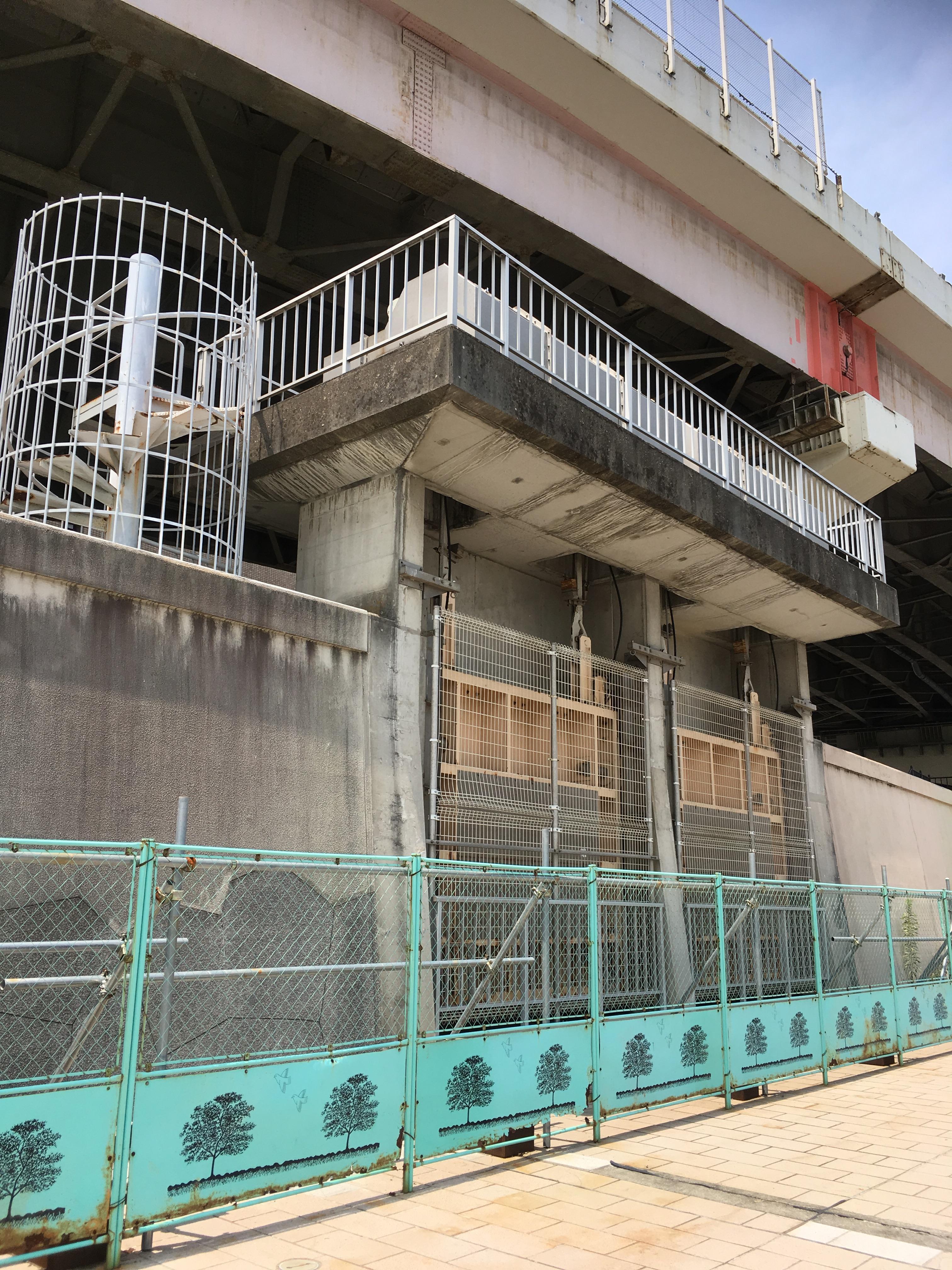
At present, it seems that an emergency water tank for disaster countermeasures is buried underground in this park. And at the end of the park is the Nihonbashi Health Center. The Nihonbashi Health Center was built on the ruins of the Higashiboriru River, but a part of the building was piloti, and it was structured as if it were a river flow. In addition, there were three tile mural paintings on the wall of Piloti.
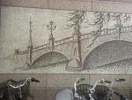 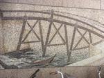 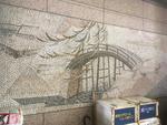
I thought this was probably the thought bridge, father bridge, and Manbashi in Higashiborirugawa, so I searched at the library or called the Nihonbashi Health Center to visit, but I didn't know what was clear after all. did. (Thank you to the staff of Nihonbashi Health Center for various research during your work.)
I think it's probably a mural from Nihonbashi this past and present. If you know the details, I would appreciate it if you could give me a professor.
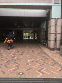
And there is a hotel called Super Hotel next to the Nihonbashi Health Center. At the entrance of the hotel, there was a part of the pierced stone masonry found during the construction of the hotel. It's my personal opinion, but I really felt that I wanted a bigger sign to be a little more prominent. If you walk normally, there will be no one to notice. The area in front of this hotel and Nihonbashi Health Center is where Manbashi was located. And it will be "Horidome" in front of the Nihonbashi Fire Station Horidome Station. Of course, the address will be Nihonbashi Horidomecho, Chuo-ku.
From Koami Children's Amusement Park to the Nihonbashi Fire Station Horidome Branch is the site of the Higashiboridome River.
Although it was a short distance in a flash, it was a town walk that made me feel that there was definitely a river there at the site of the former Higashiboriru River.
[Hikoharu Co., Ltd.]
March 8, 2018 09:00
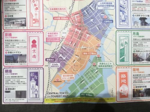
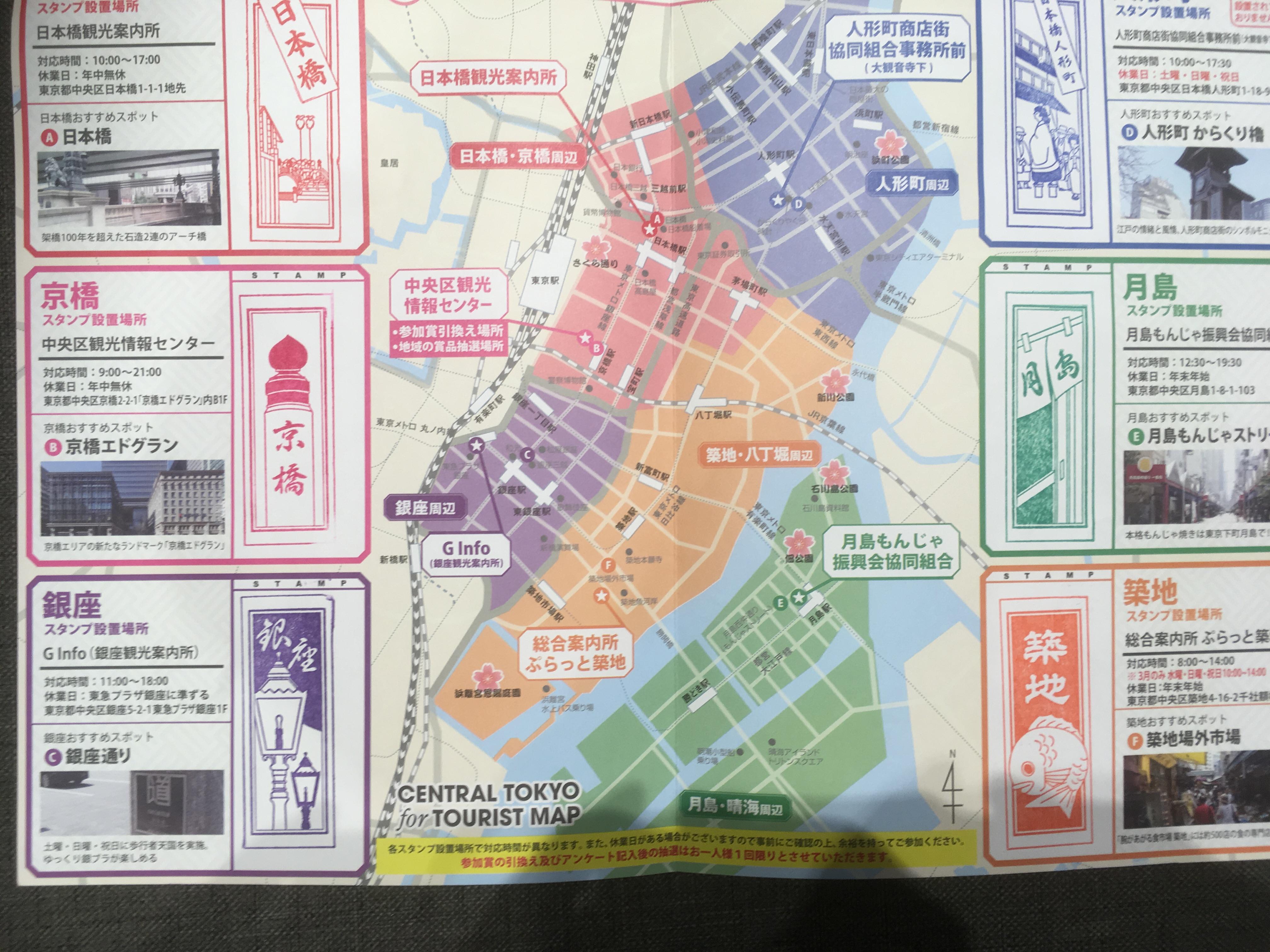
The other day, I participated in an exchange meeting of the correspondent of the Chuo-ku Tourism Association and took a stamp ledger.
I got it, so I tried the Senshafuda stamp rally.
I went around Ningyocho, Ginza, Tsukiji, Tsukishima, Nihonbashi, and Kyobashi in that order.
This is the ledger that the stamp pressed all.
[Ningyocho]
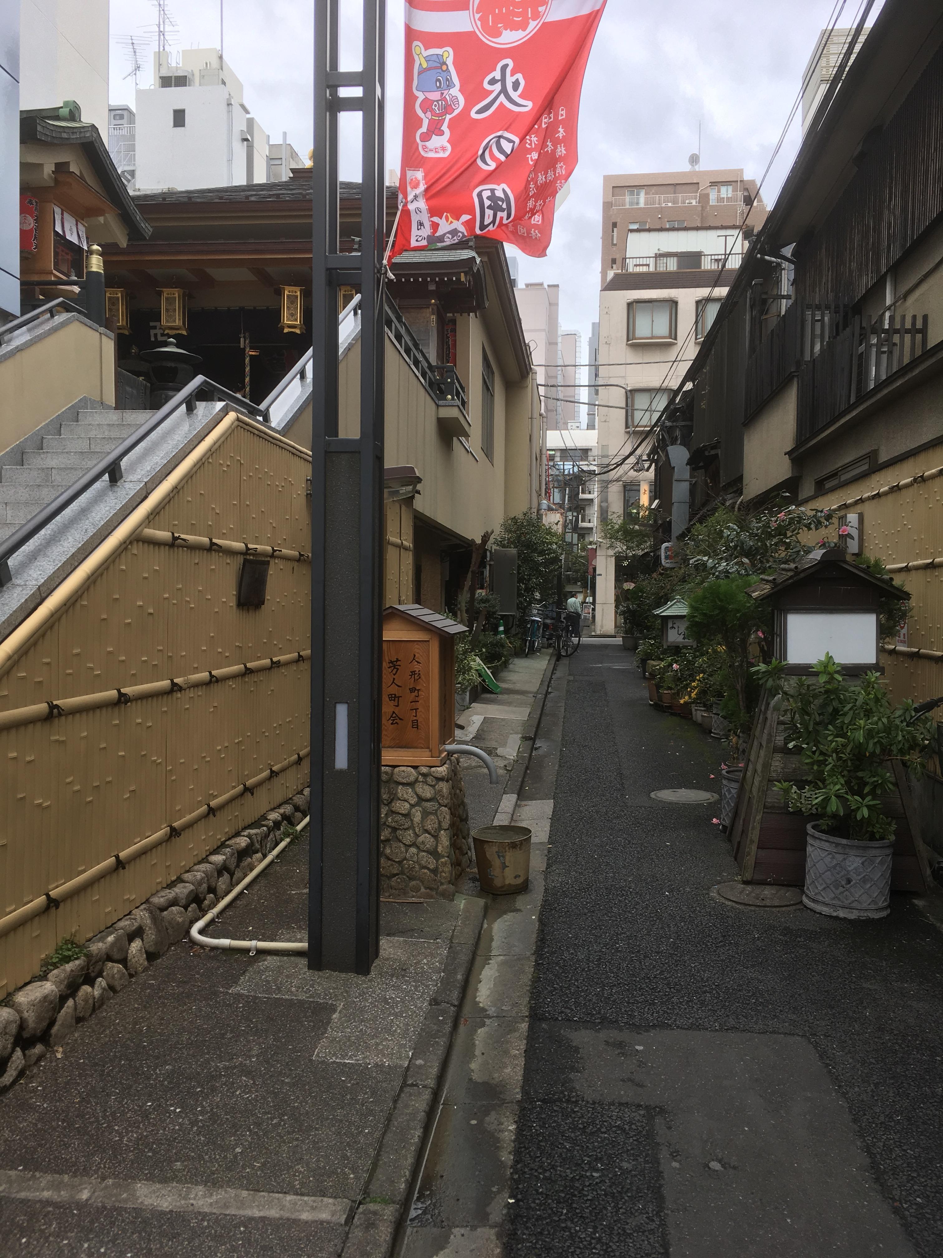
Ningyocho started from Daikanonji Temple.
The alley next to Daikanonji Temple was called Geisha Shindo. When it was a flower district
It conveys the remnants of Yoshicho now. The right hand is "Yoshiume" which is famous for its green onion pot.
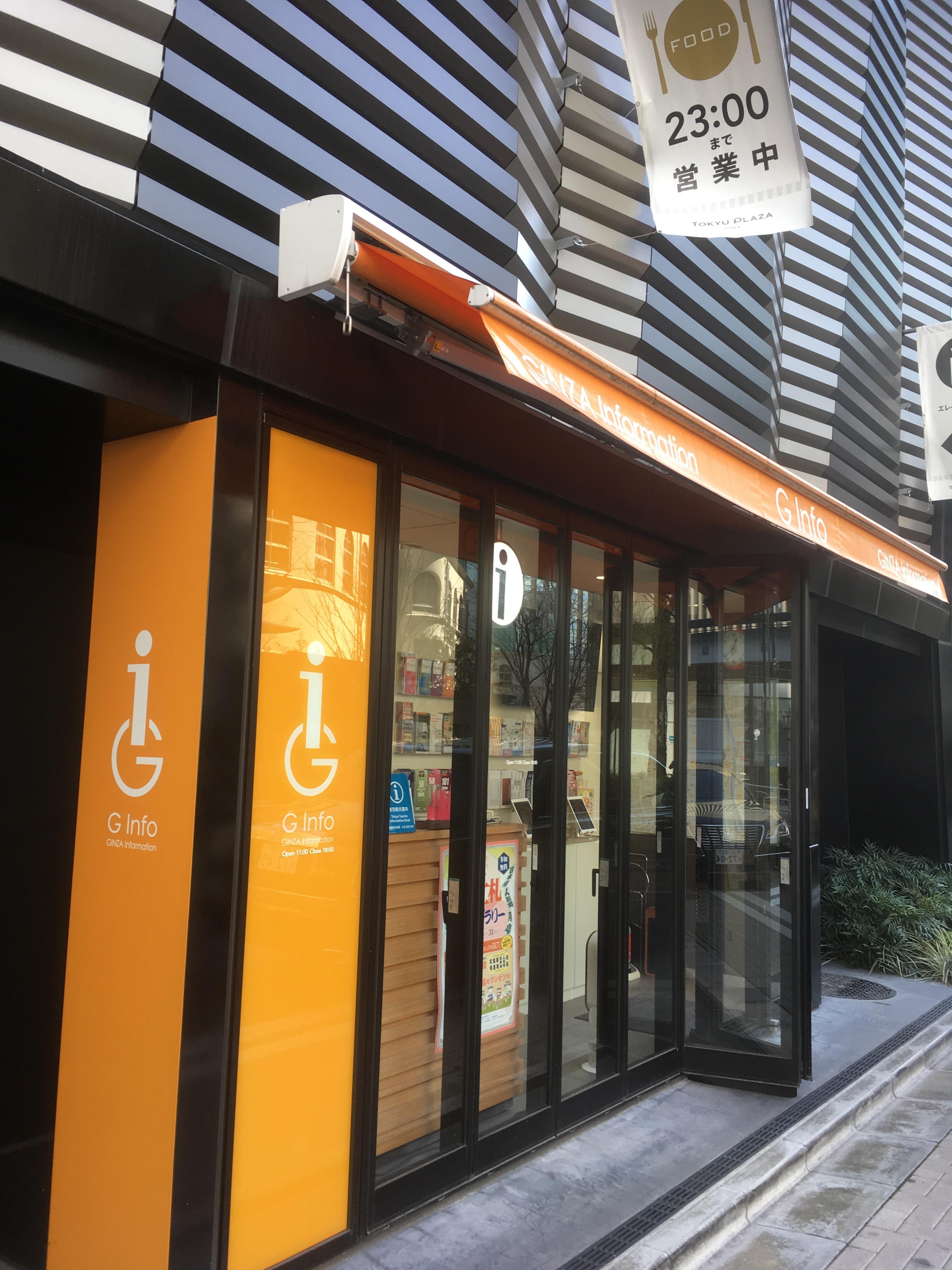
[Ginza]
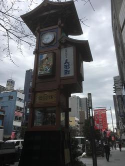
In front of G Info is Sukiyabashi Park.
Behind it is Yasuaki Elementary School, which has just become a hot topic about uniform issues.
Yes, there is. The object in the foreground is Taro Okamoto's "Young Clock Tower".
[Tsukiji]
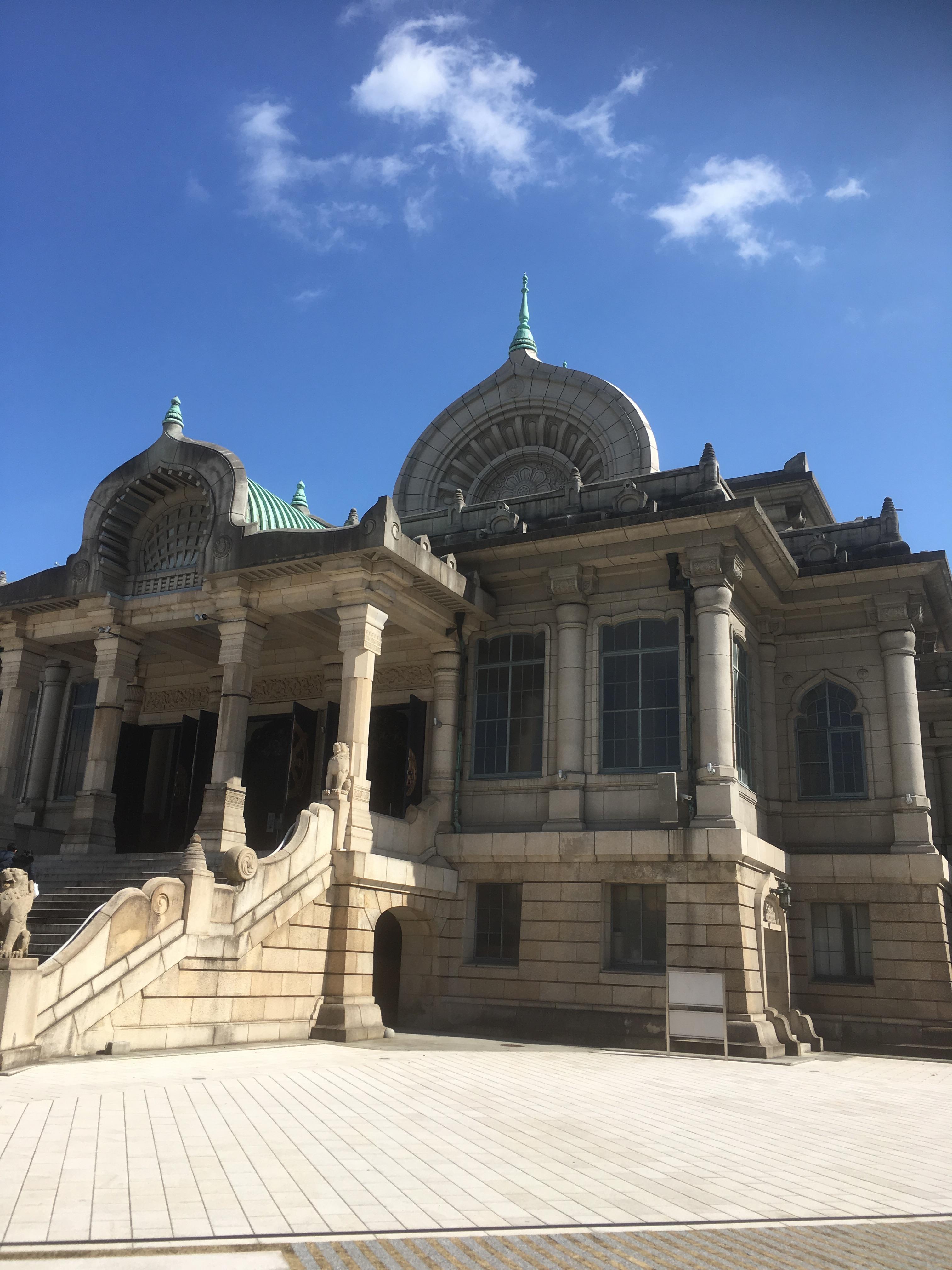
Take a stopover and pachiri at Tsukiji Honganji!
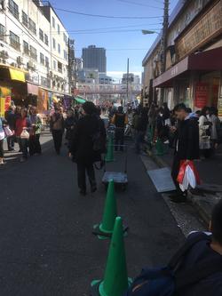
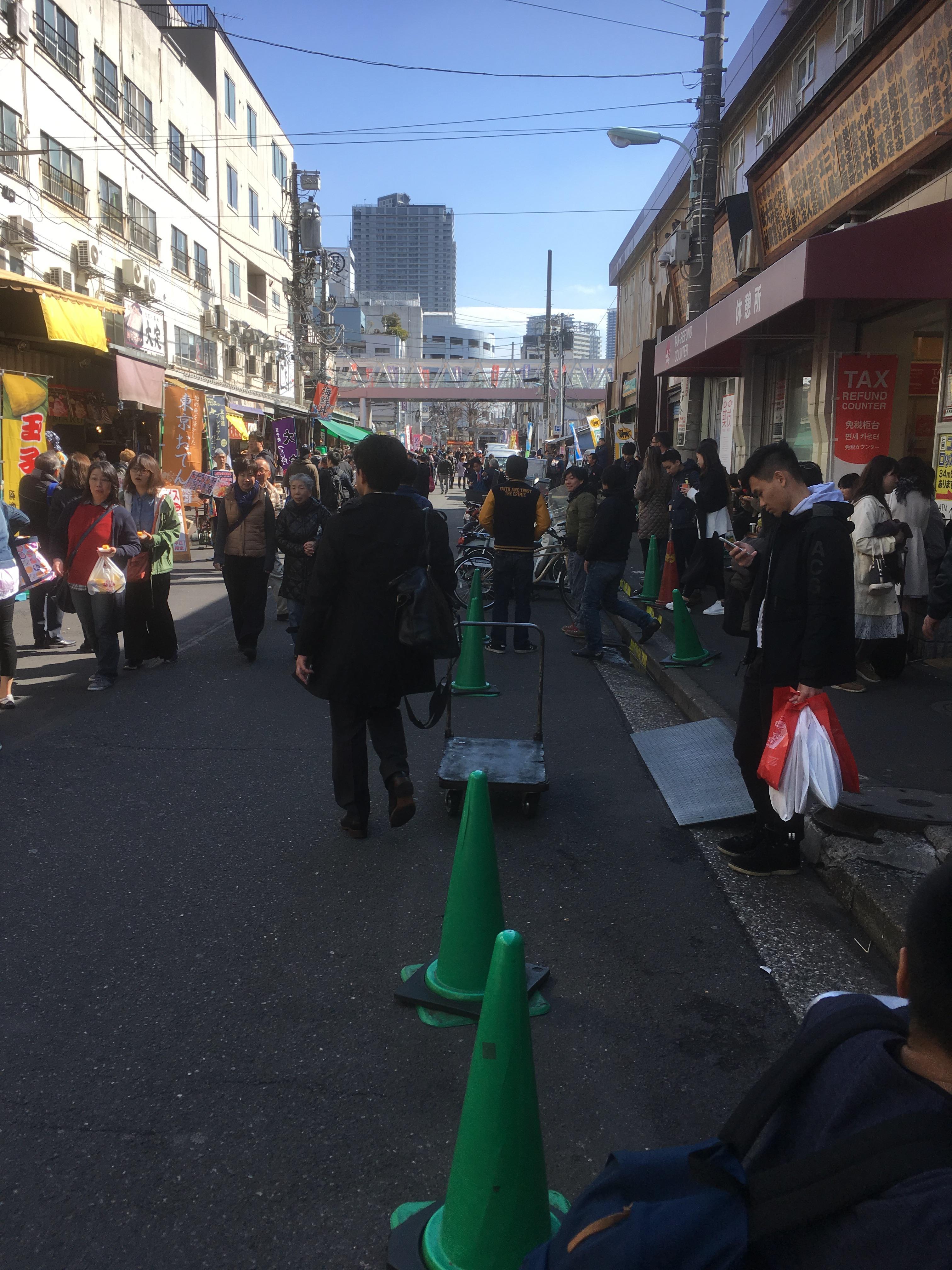
Tsukiji Outer Market was crowded even though it was a weekday.
[Tsukishima]
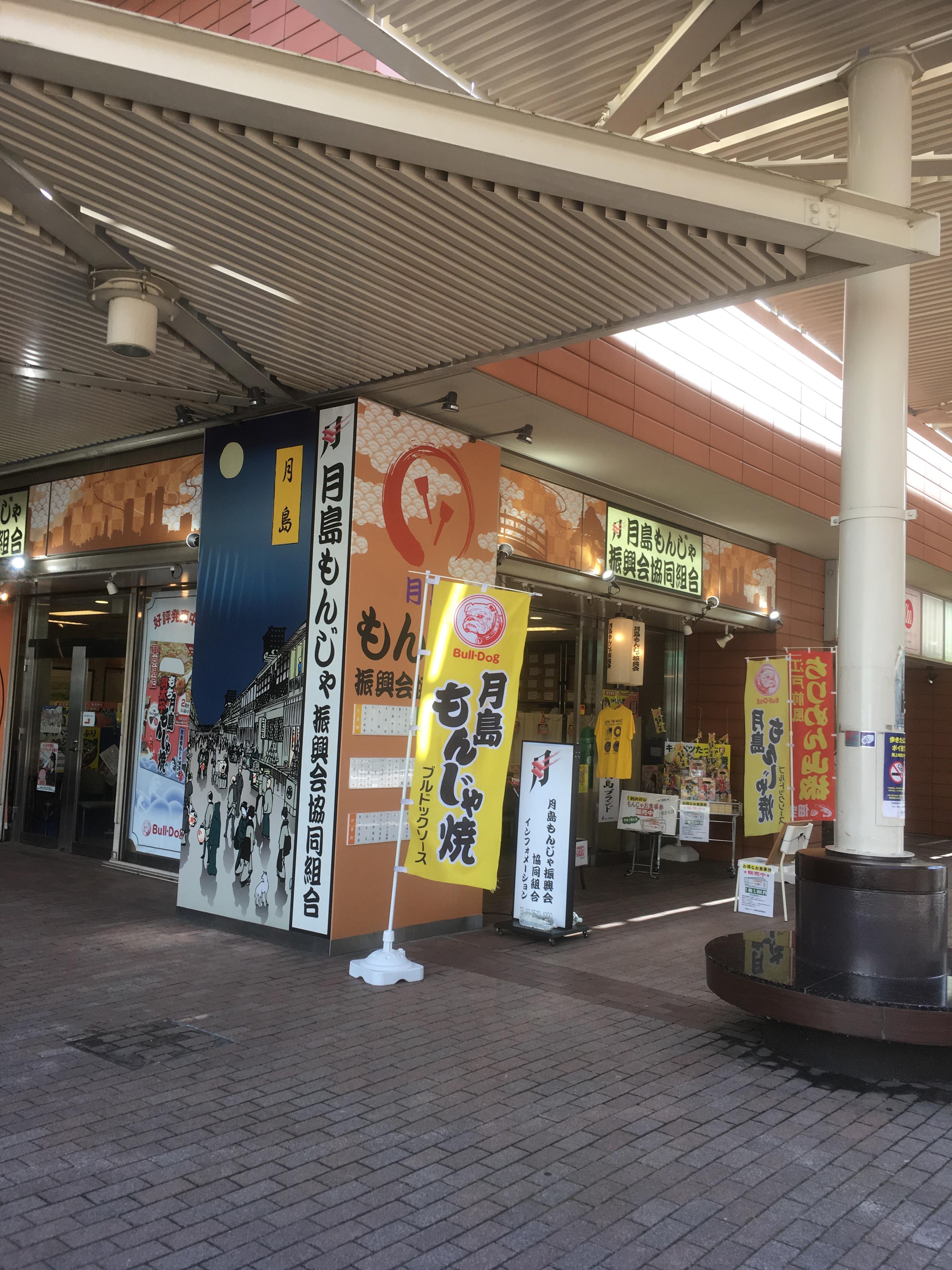
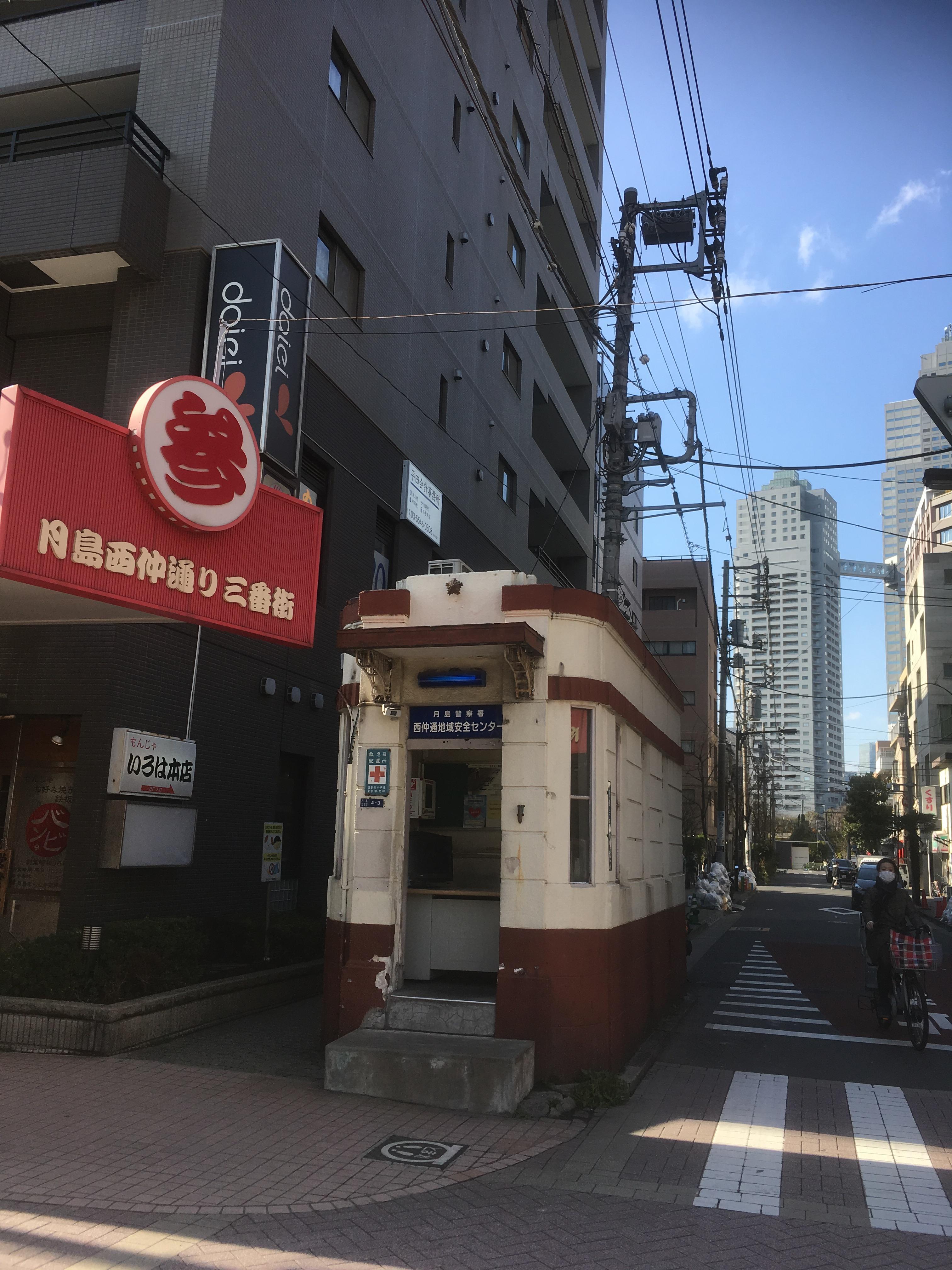
The Tsukishima Monja Promotion Association Cooperative is located at the entrance of Tsukishima Nishinaka-dori.
This is Nishinakadori Regional Safety Center. It was a sergeant branch of the Taisho era.
 
The signboard architecture is beautiful!
[Nihonbashi]
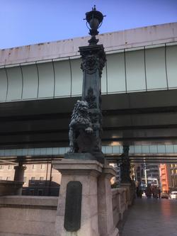
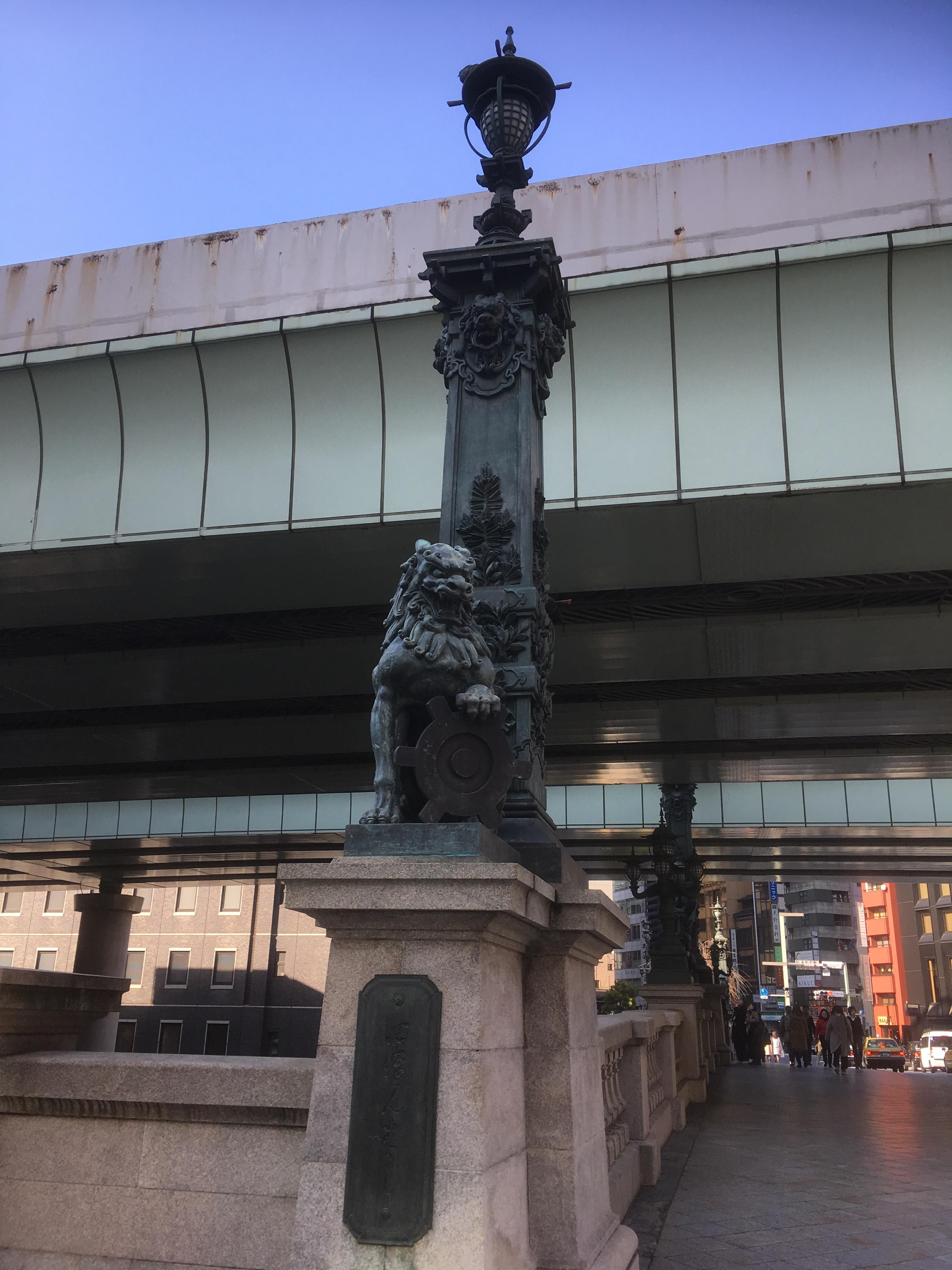
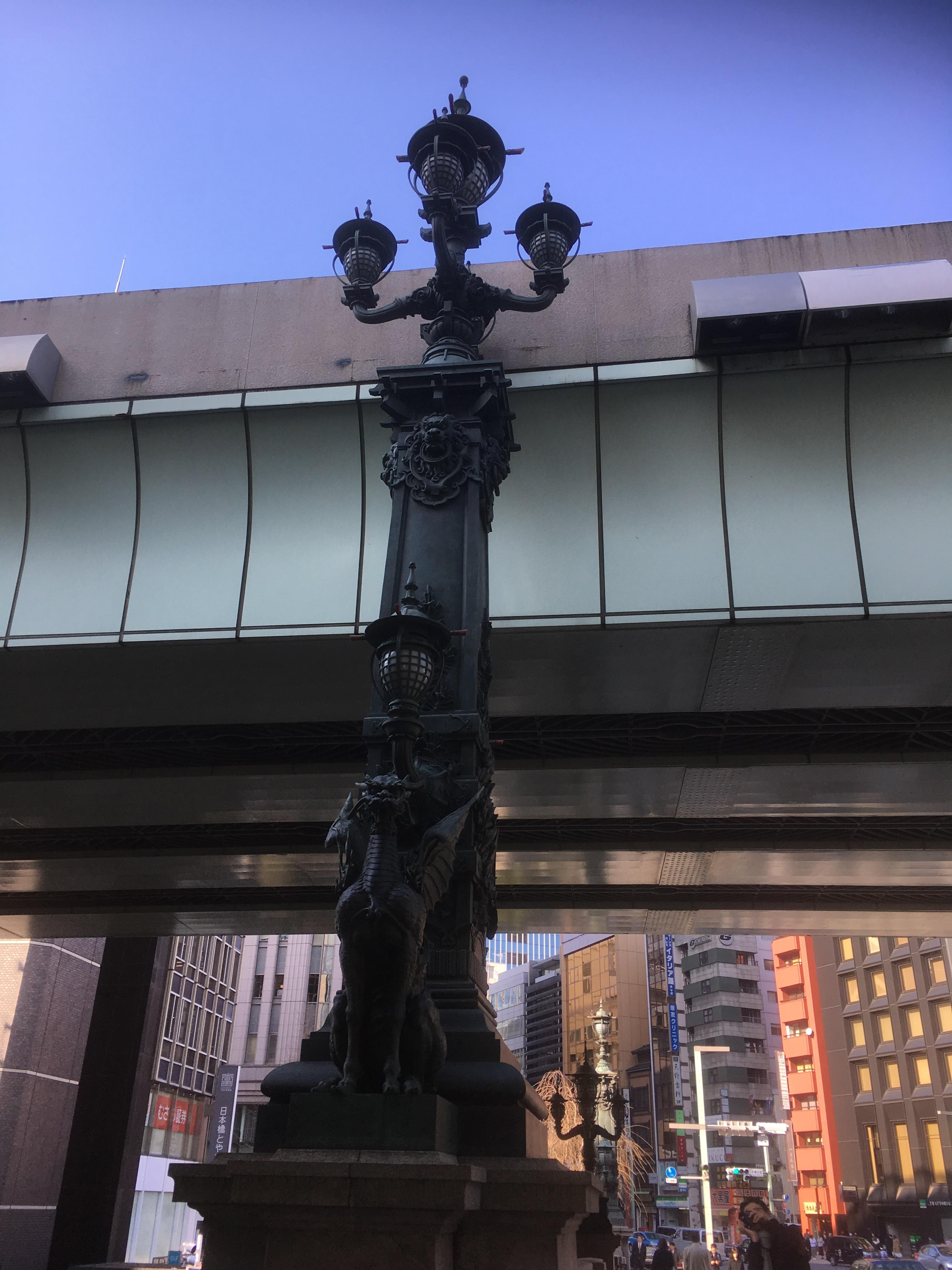
It is a lion statue representing guardian and a kirin statue representing prosperity.
 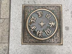
The plate of the promised "Japan Road Mark" is also punchy!
[Kyobashi]
I entered "Kyobashi Edgran" for the first time. It's really a landmark of Kyobashi
It will be.
In March, days when the temperature difference is severe continued, but spring is coming soon.
Yes. If you are not a hay fever, please challenge the Senshafuda stamp rally.
Please take a look. (By the way, I'm the extreme hay fever. After returning home today
The runny nose was loose, and the eyes became the rabbit's eyes.)
[Hikoharu Co., Ltd.]
March 6, 2018 12:00
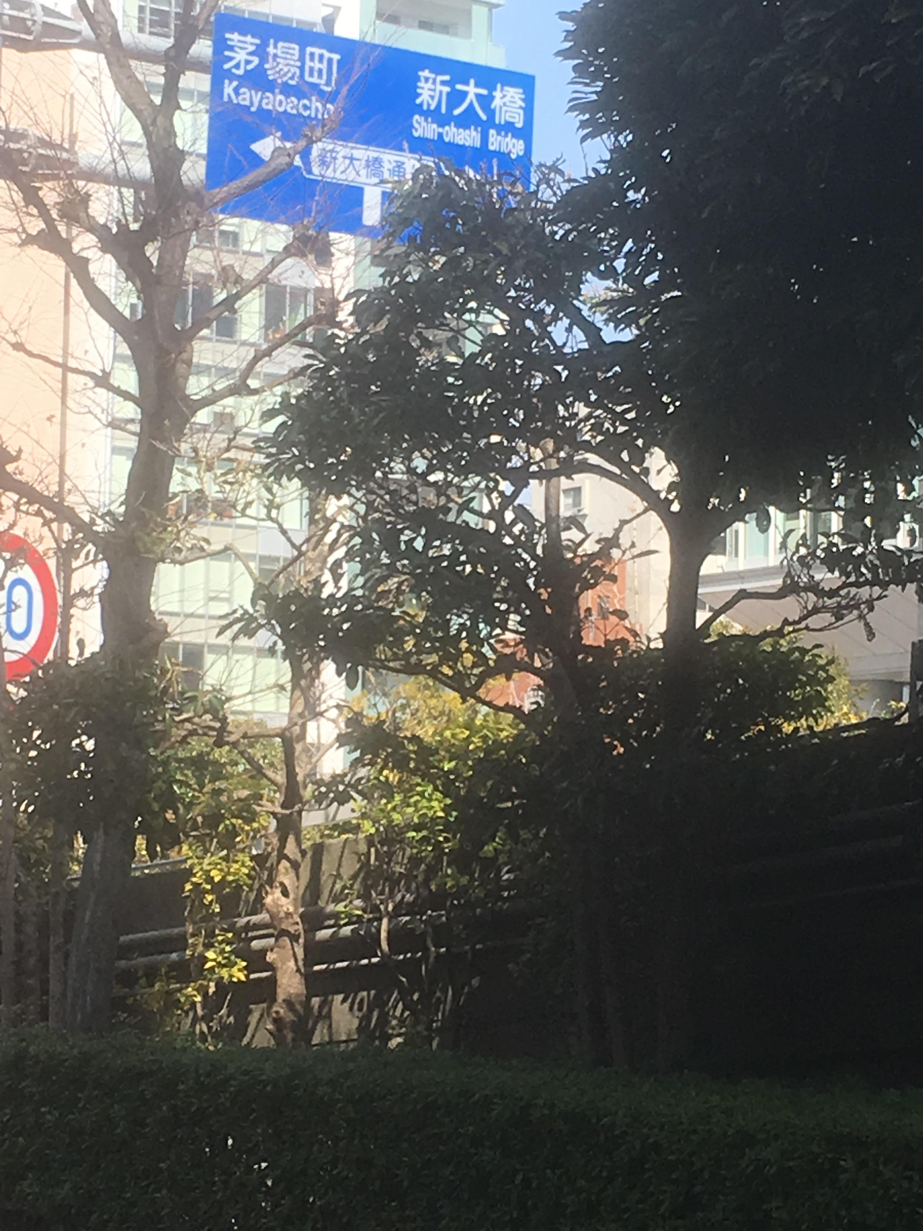
This time, we are planning to walk along the Hakozaki River, Hamacho River & Ryuka River, which have now been reclaimed.
As a course, start the Hakozaki Pumping Station on the Sumida River and pass through the Hakozaki River, Hamacho River & Ryuka River.
We aim for Ryukan Bridge on Sotobori-dori St.
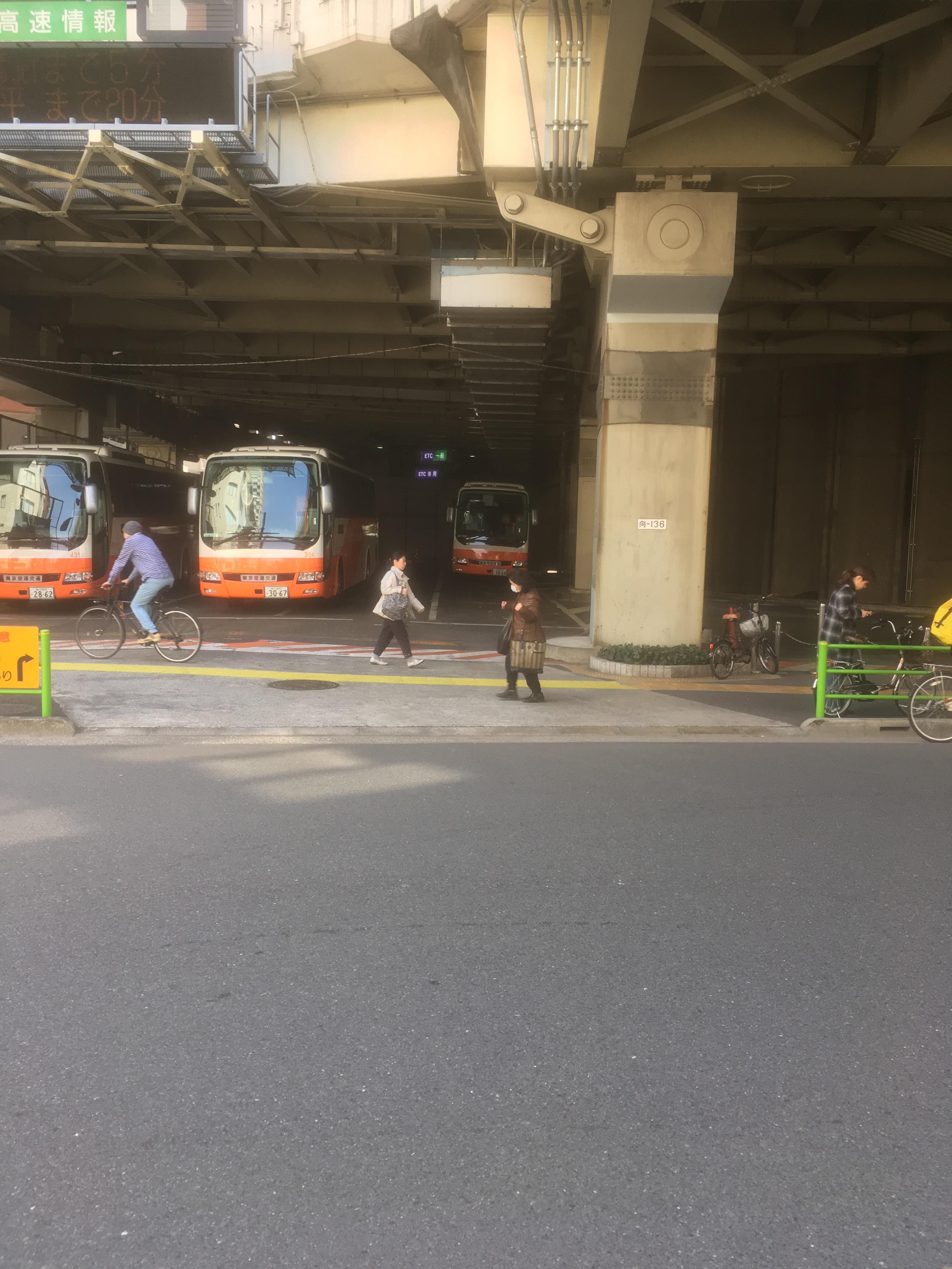
First, the photo on the left is the Hakozaki Pump Station seen from Kiyosu Bridge. Tributaries of Sumida River and Hakozaki River
It will start from the junction. It is located on the site of the Hakozaki River tributary.
Tokyo Metropolitan Expressway Co., Ltd. is located.
 
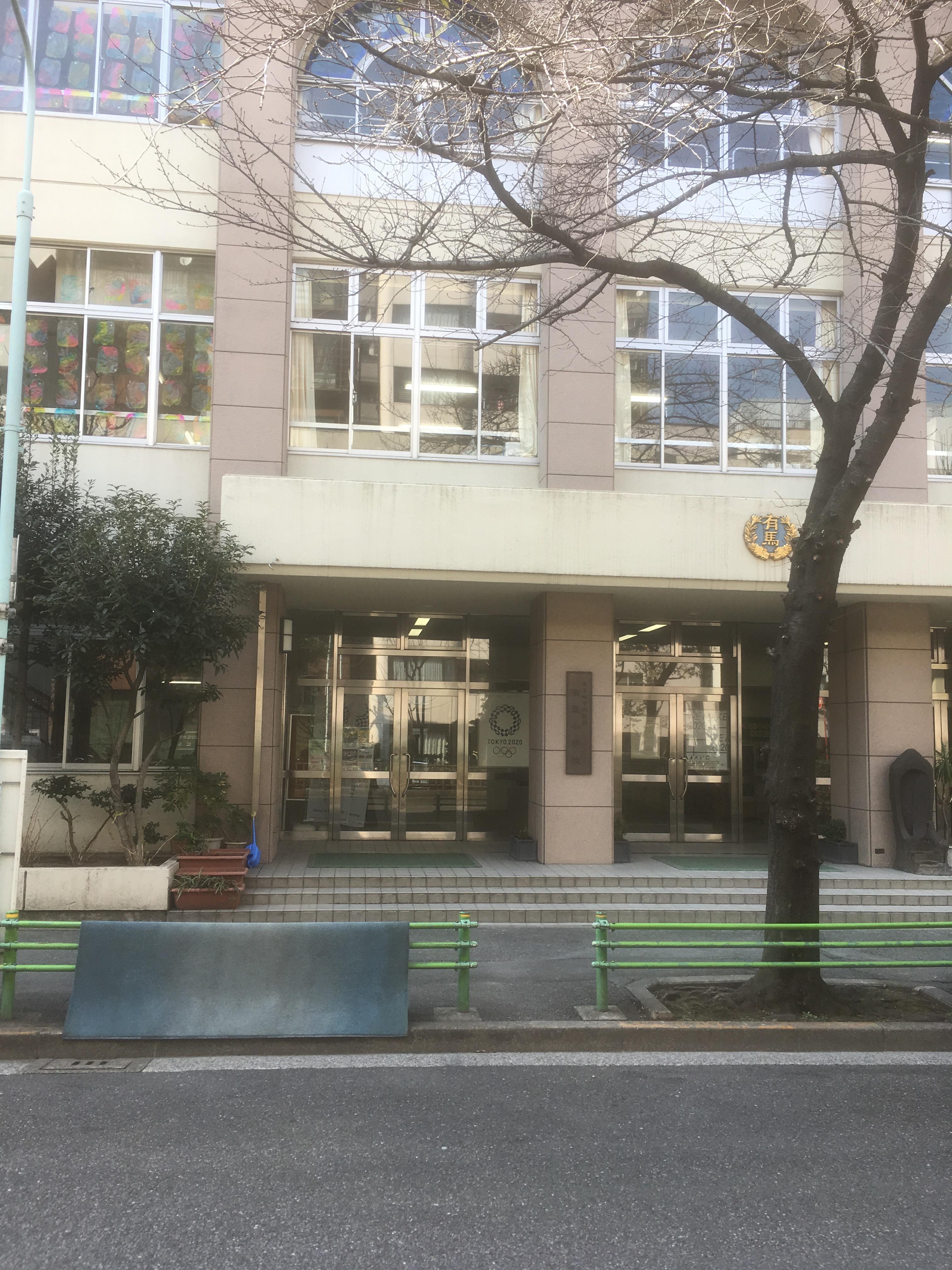
After passing the Tokyo City Air Terminal, you will see Arima Elementary School on your right.
From here, we will enter Hamacho Ryokudo. This is the confluence of the Hakozaki River and Hamacho River.
This is the start of the Hamacho River.
 
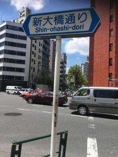
Hamacho Ryokudo continues across Shin-ohashi Bridge Street.
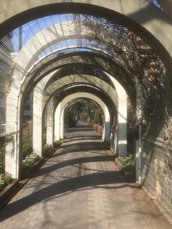 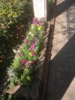
A cute flower welcomes you on the Hamacho Green Road.
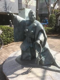 
And at the intersection with amazake Yokocho, Benkei welcomes us.
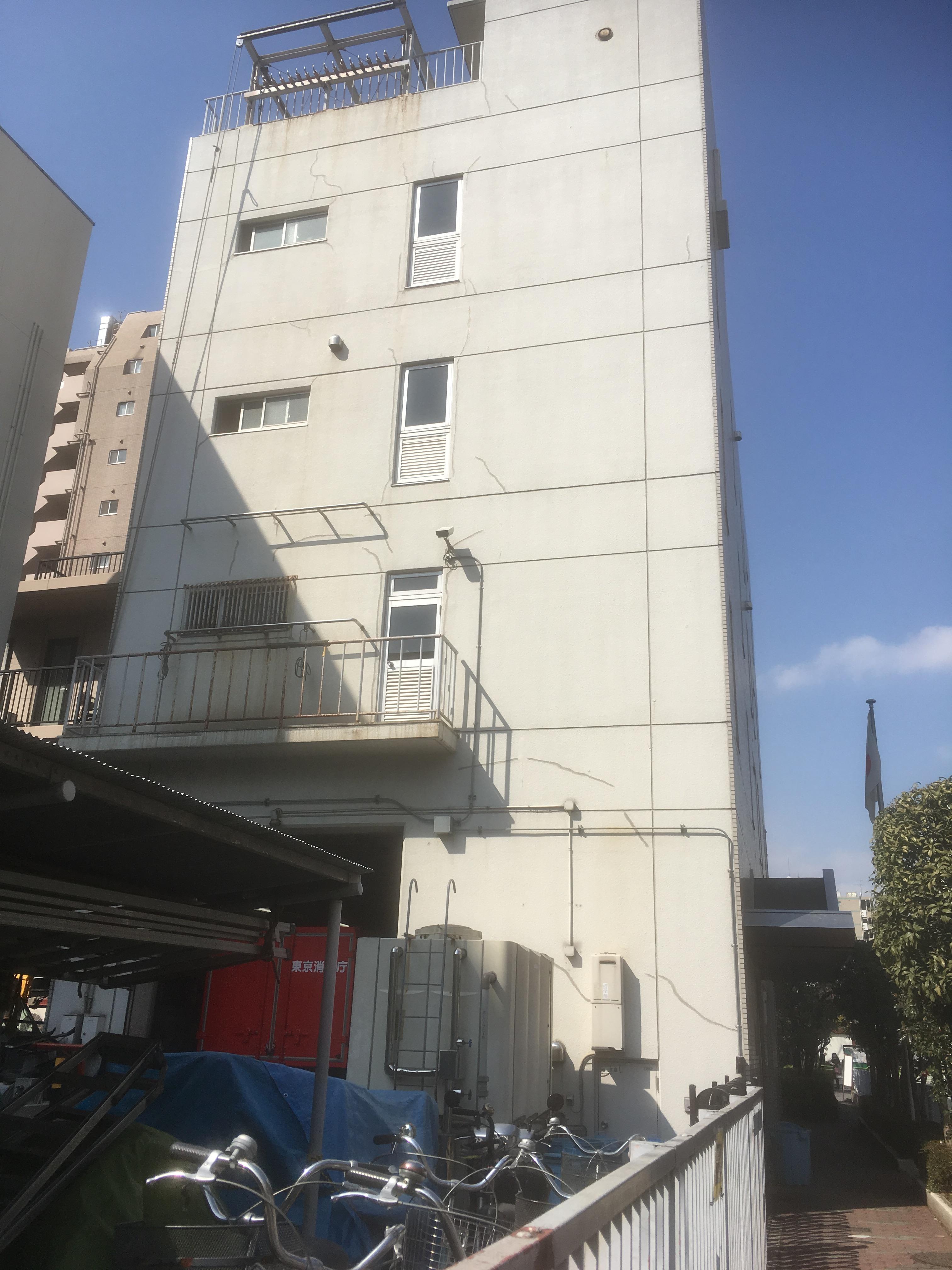
The photo on the left shows the Nihonbashi Fire Station Ningyocho branch office.
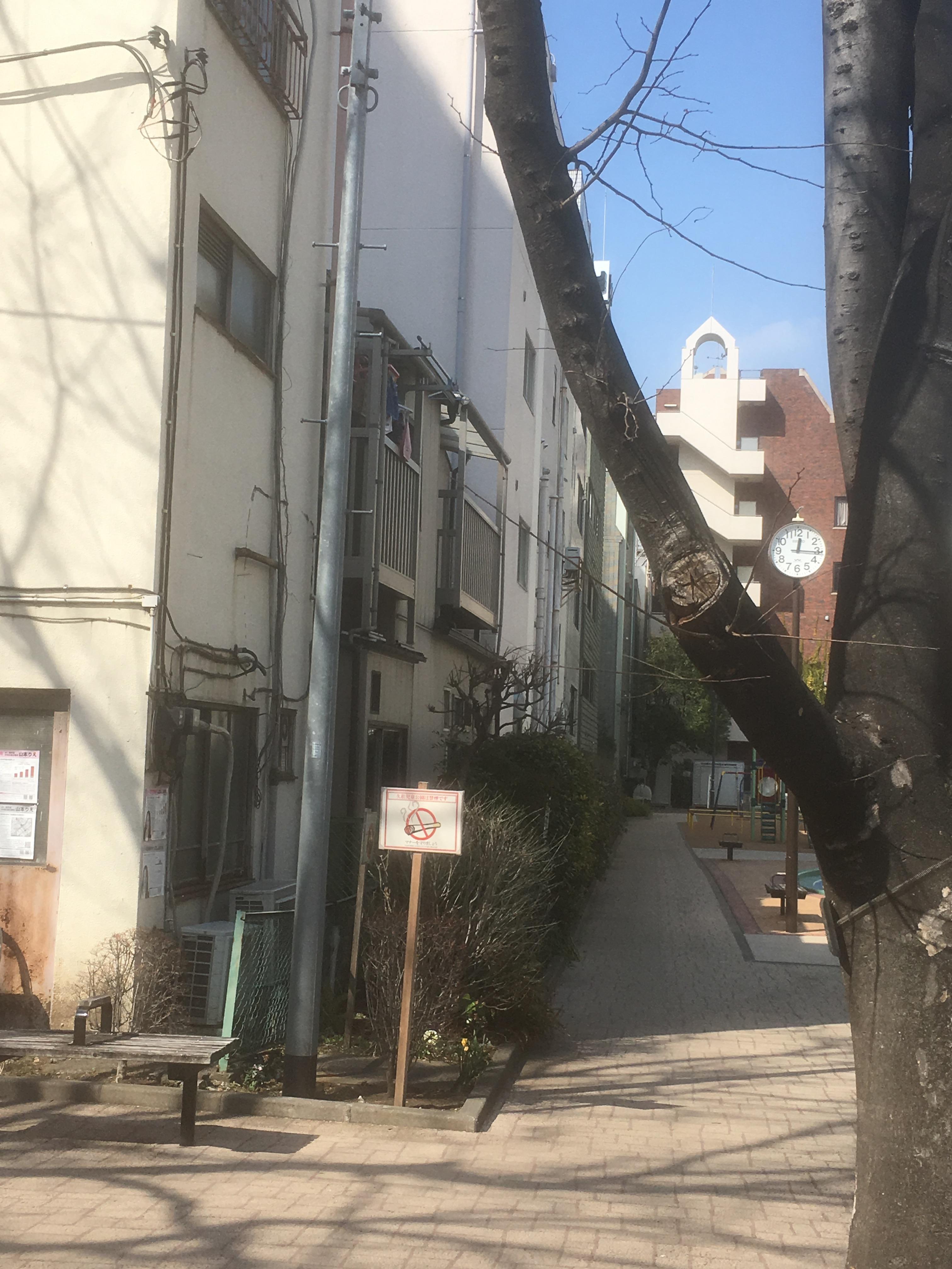
And after passing the intersection in front of Hisamatsu Police Station, the Hamacho Ryokudo is over.
After passing the Hisamatsucho Kuminkan, there is still a chain-type store built immediately after the war.
The Tokyo Metropolitan Government established the Ryuka River in 1948 and the Hamacho River in 1950 as a measure to treat debris after the war.
It's reclaimed.
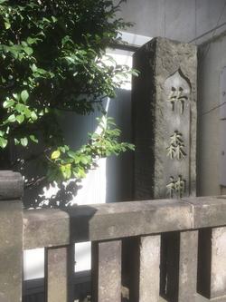 
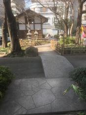
And after the Kurakake Bridge, you will see Takemori Shrine.
  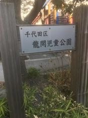
Then, when you enter from the Chuo-ku side, you enter at Ryukan Children's Amusement Park from Chiyoda-ku side, and at this point of Ryukan Children's Park.
The Hamacho River and the Ryuka River joined together. The photo in the middle shows the Ryukan River crossing at right angles.
I think it's a coincidence.
Then turn left here. Such a narrow alley was the border between Chuo-ku and Chiyoda-ku.
I think it's a more trafficy road next to it, but until 1947, there was the Ryukan River.
What is it?
The photo in the middle is Fukuda Inari Shrine. It is a very old shrine that was founded in 711.
After crossing Showa-dori, there was a reclamation monument of the Ryukagawa River.
The photo in the middle is Inari Shrine, both shrines.
And it is a monument to the site of Imagawa Bridge.
The signboard of the store is coming out to the center of the road. Large cars will not be able to pass.
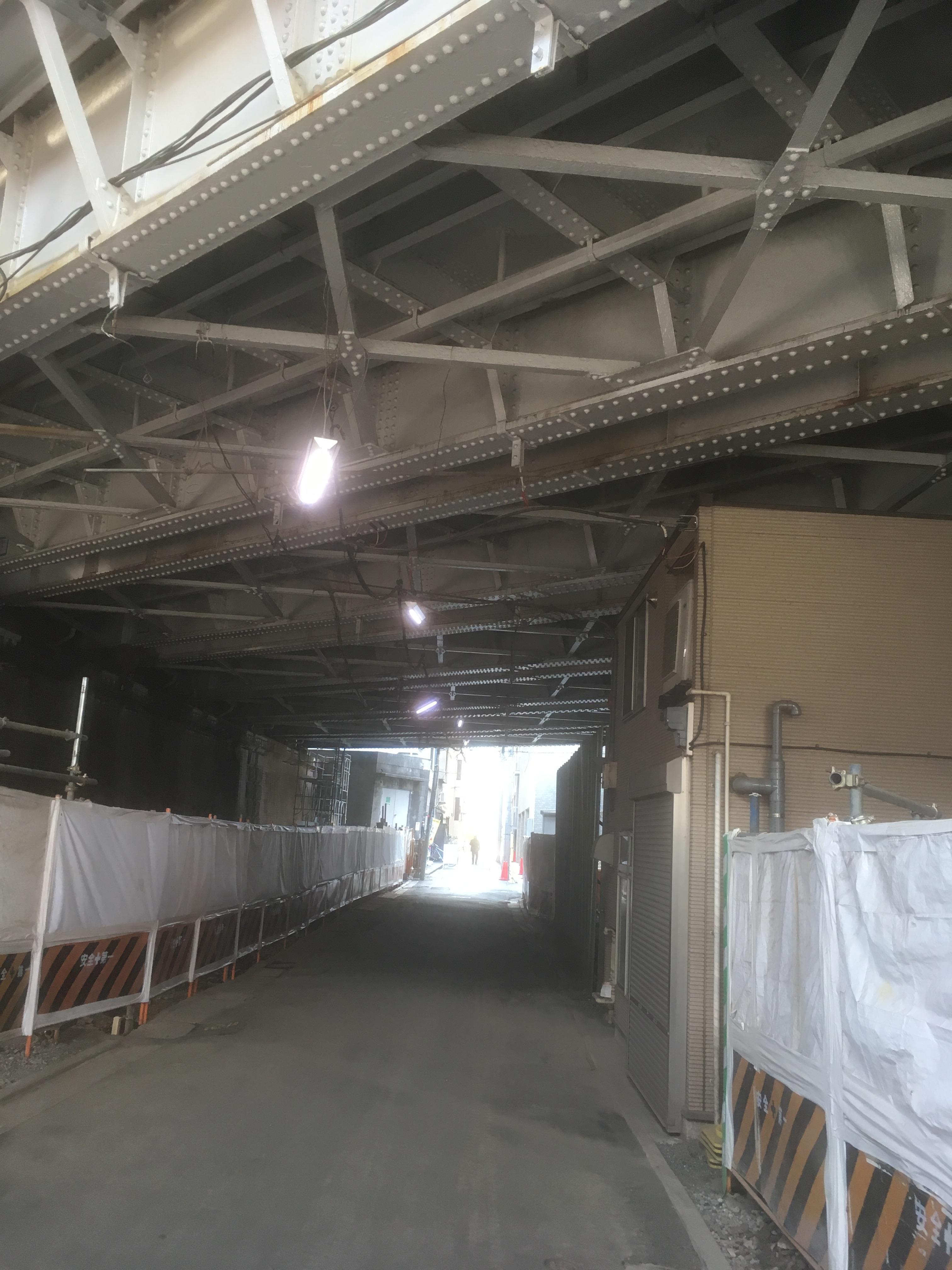
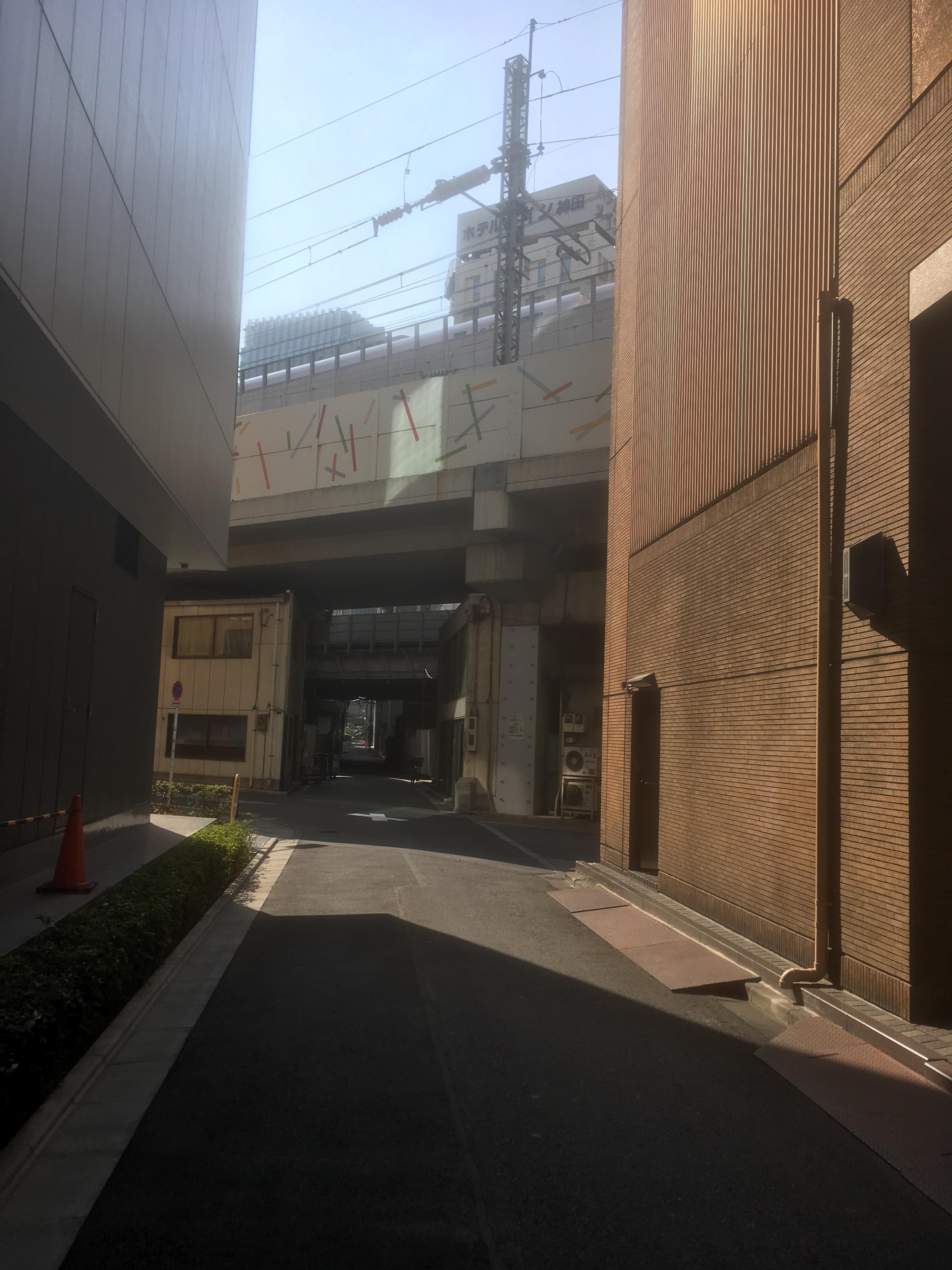
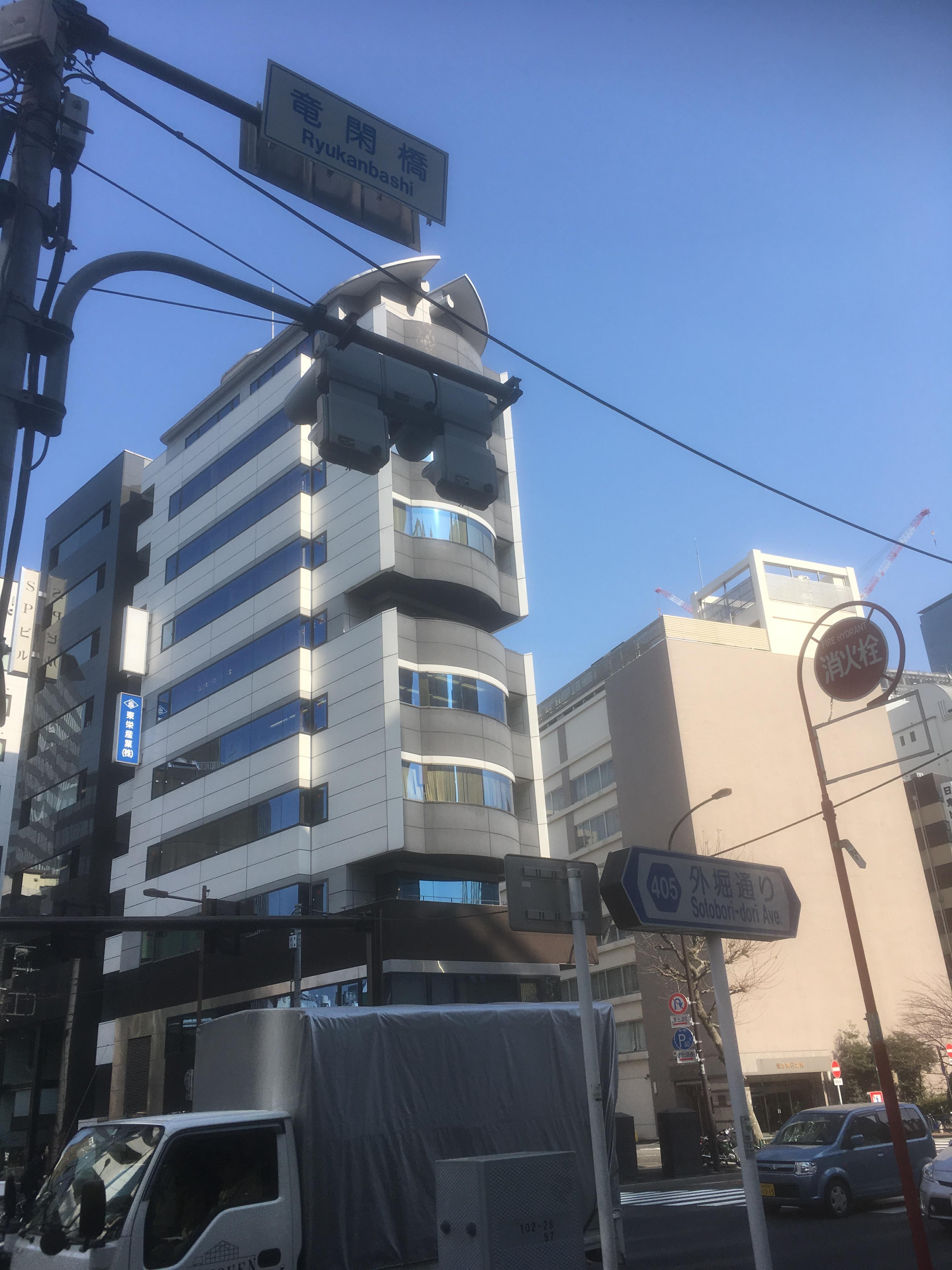
Then go through the underpass of JR.
The main pillar of Ryukan Bridge (Japan's first reinforced concrete bridge) was left.
The photo in the middle is the junction of the Nihonbashi River and the Ryukan River.
There are a number of place names in Tokyo, but in fact, both rivers and bridges remain.
There is no, but I still felt that it was still a place name and conveys history to us.
It was this town walk.
[Hikoharu Co., Ltd.]
January 10, 2018 09:00
Happy New Year. We want to send rare information of Chuo-ku this year too. We look forward to seeing you again this year.
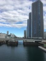
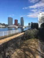
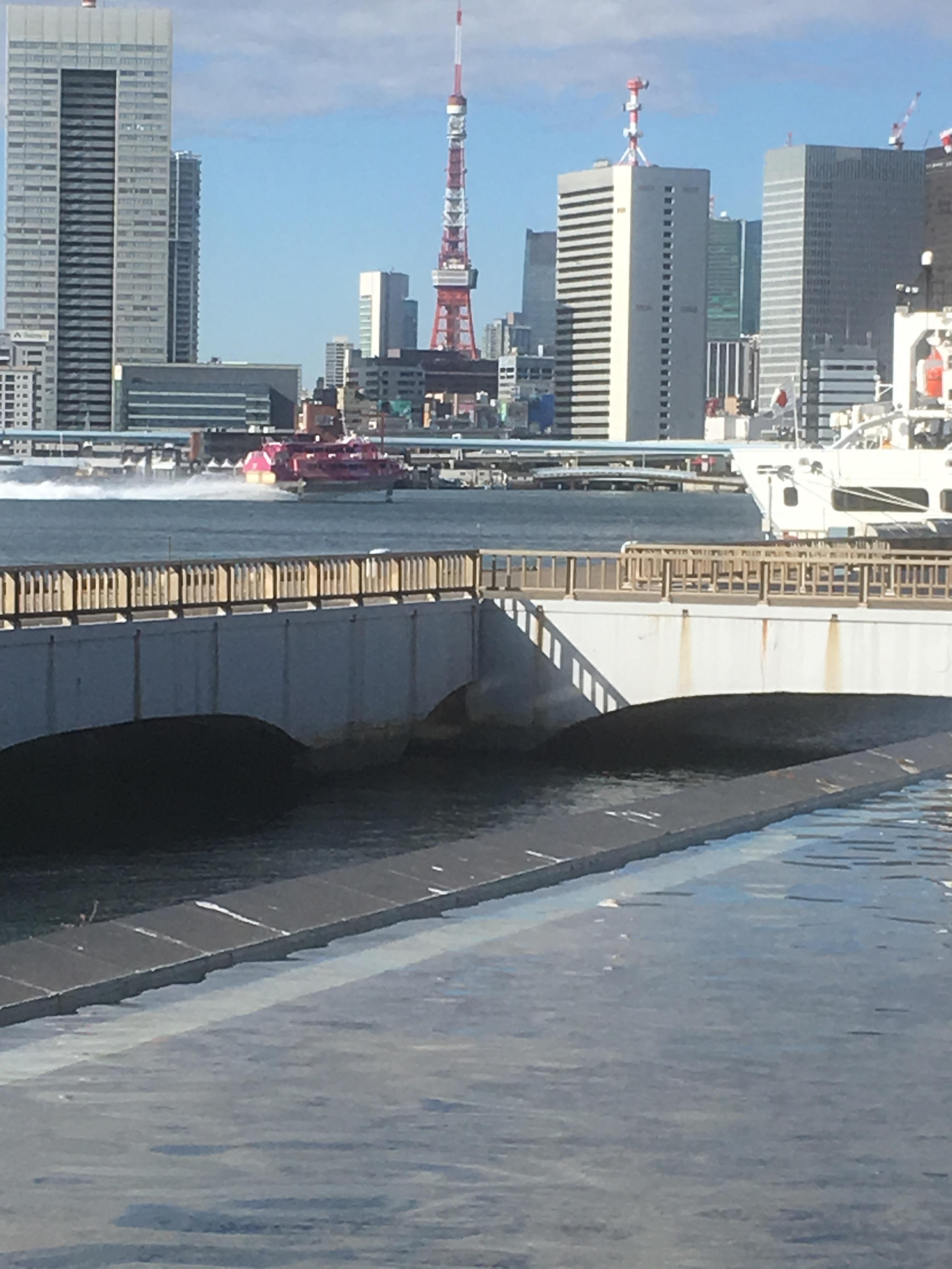
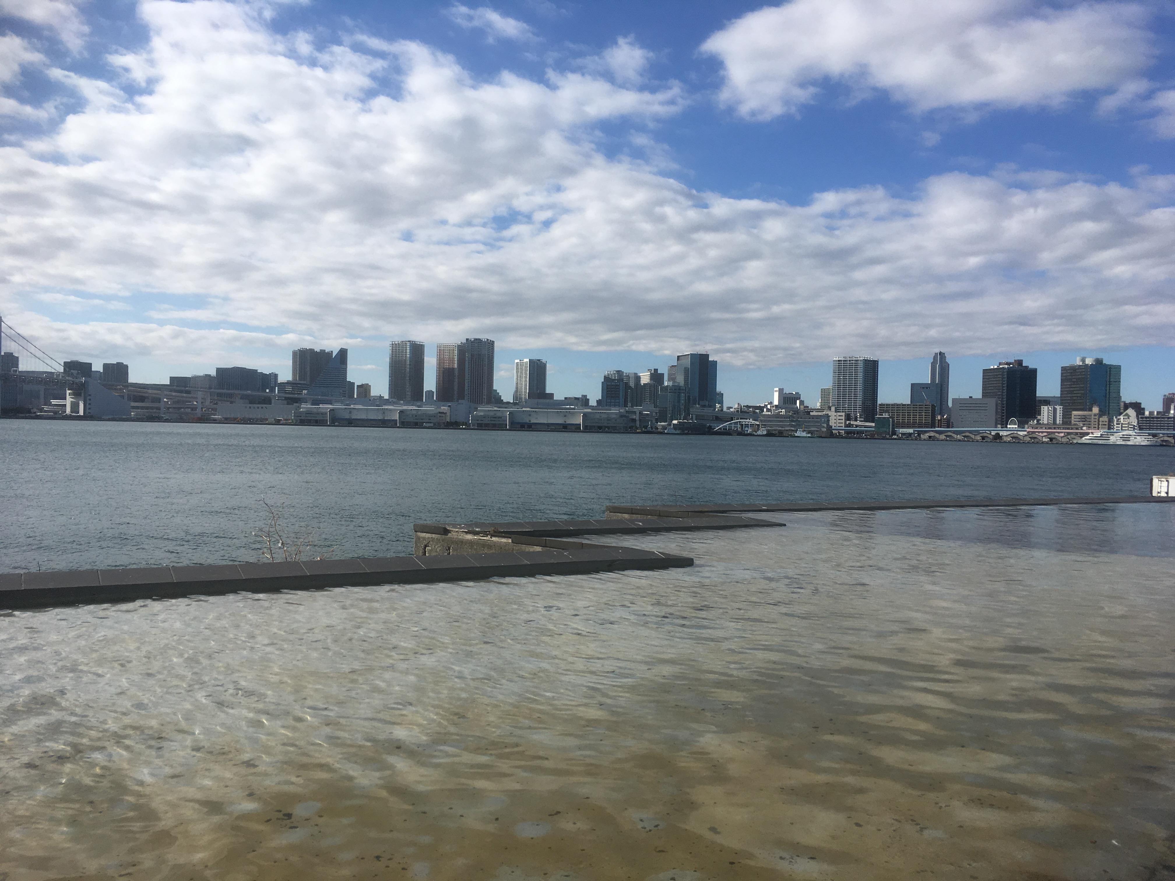
That's why I went to Harumi early in the New Year. Harumi, Chuo-ku, used to be famous for having the Tokyo International Trade Fair venue. When I was a student, I remember going to the Tokyo Motor Show several times. It's been since then, so it's been the first time in decades. First, we started at Harumi Wharf, the southernmost tip of Chuo-ku.
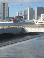 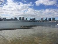
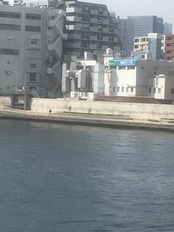
The photo shows the view of Tokyo Port from Harumi Wharf. Tokyo Port was very beautiful and quiet.
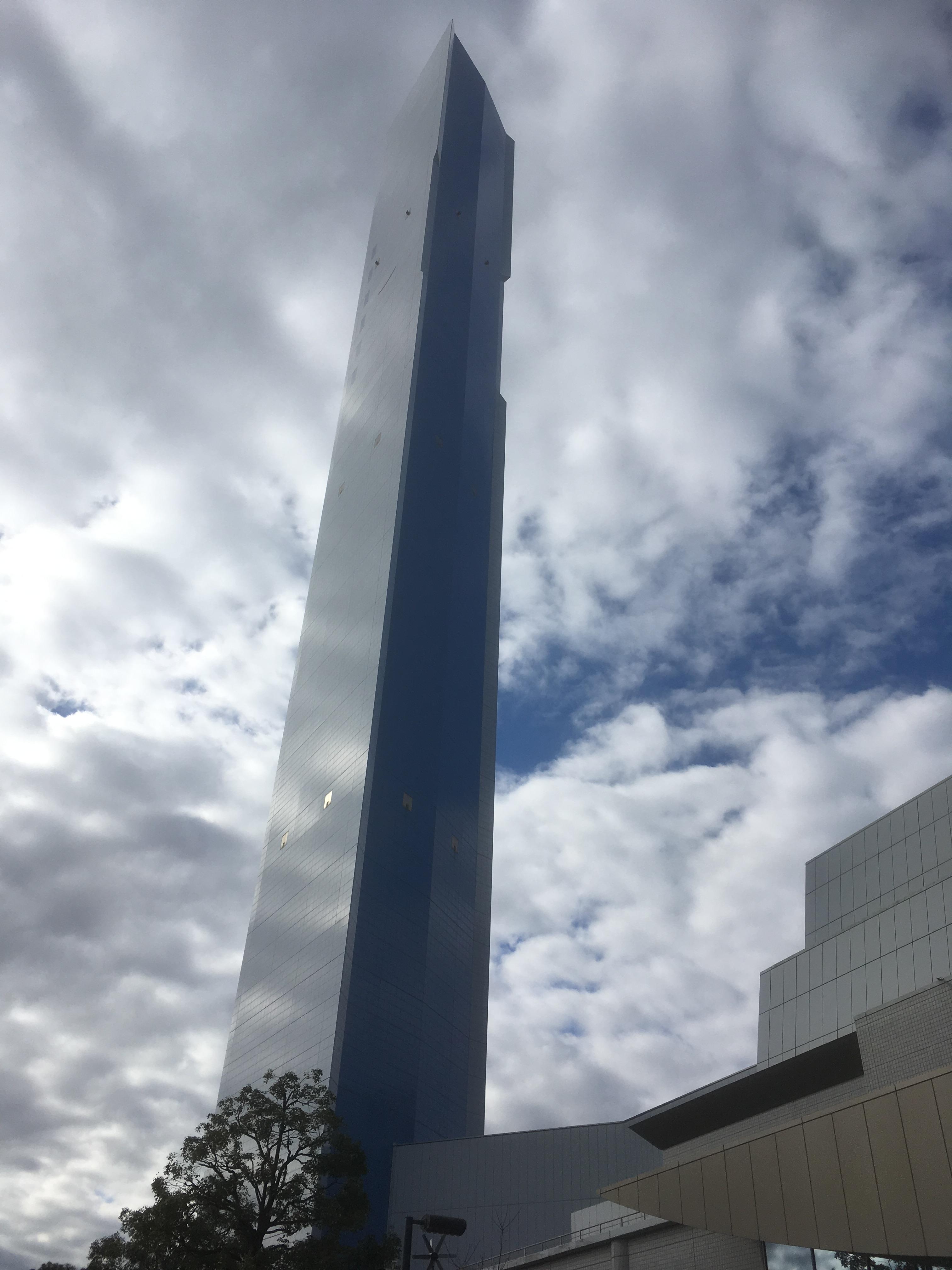
As soon as you walk toward Kachidoki Station with the Harumi Wharf behind, you will see a building with a high chimney on your right.
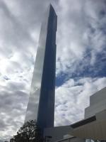 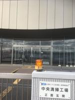 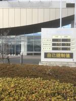
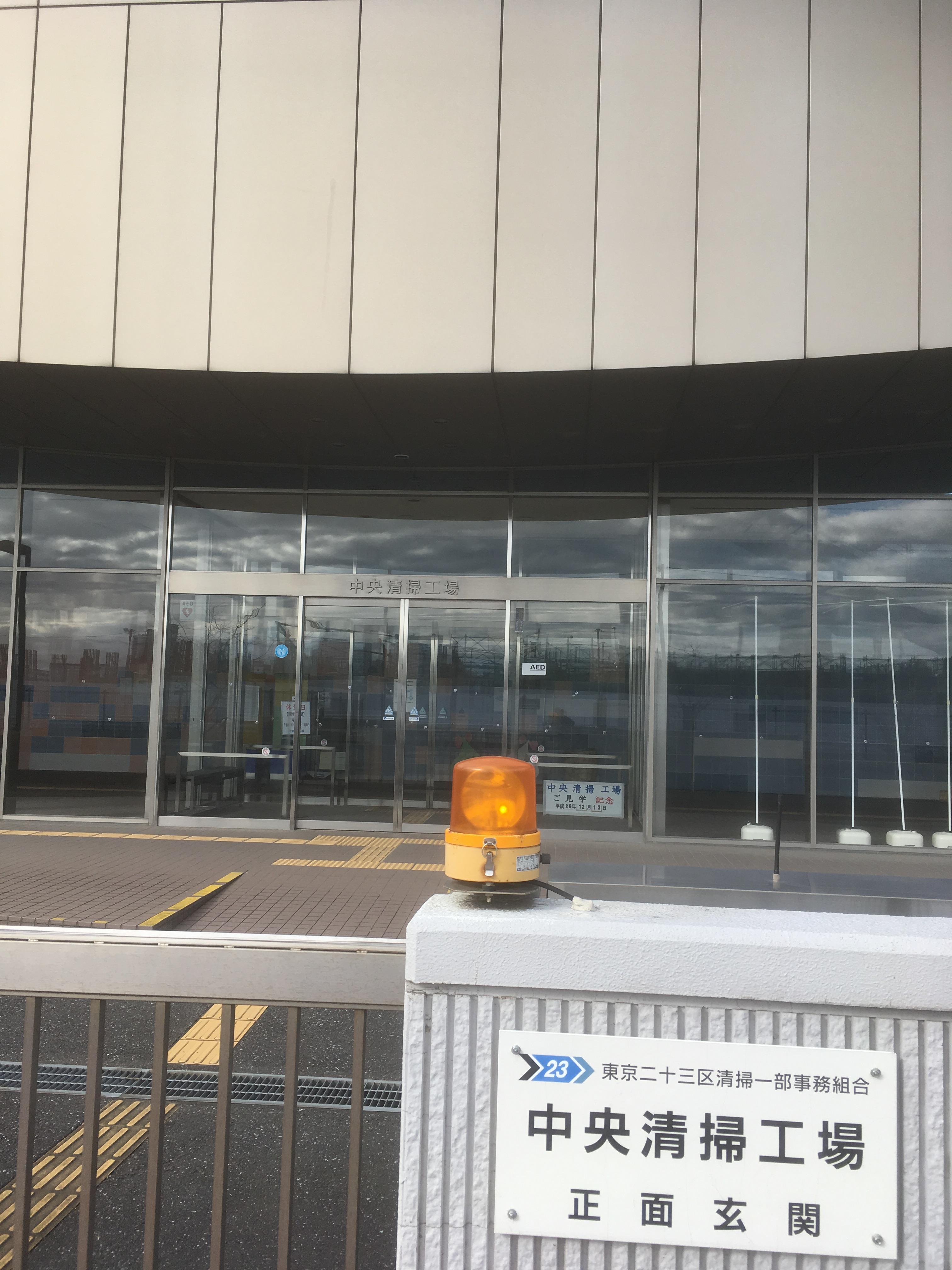
The Central Incineration Plant was built on the site of the Tokyo International Trade Fair. It seems that the chimney is 177.5 meters long. The residual heat of the factory is supplied to the adjacent Plaza Harumi.
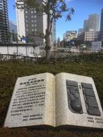 
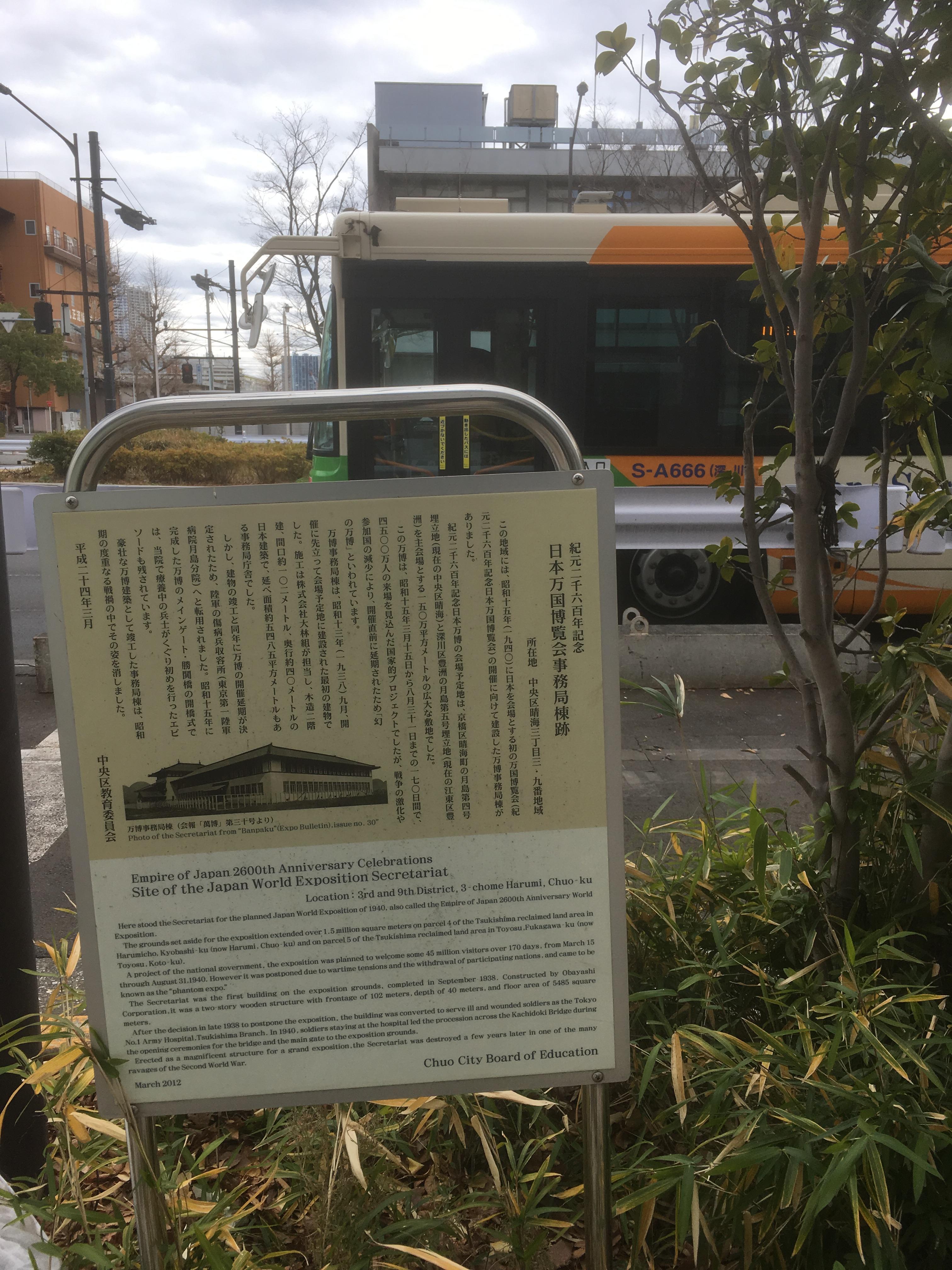
A monument to "Harumi Trade Fair Venue" is set up on the premises. And after the Tsukishima Police Station, there is an explanation version of the site of the Japan World Exposition Secretariat Building.
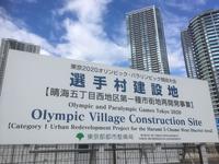
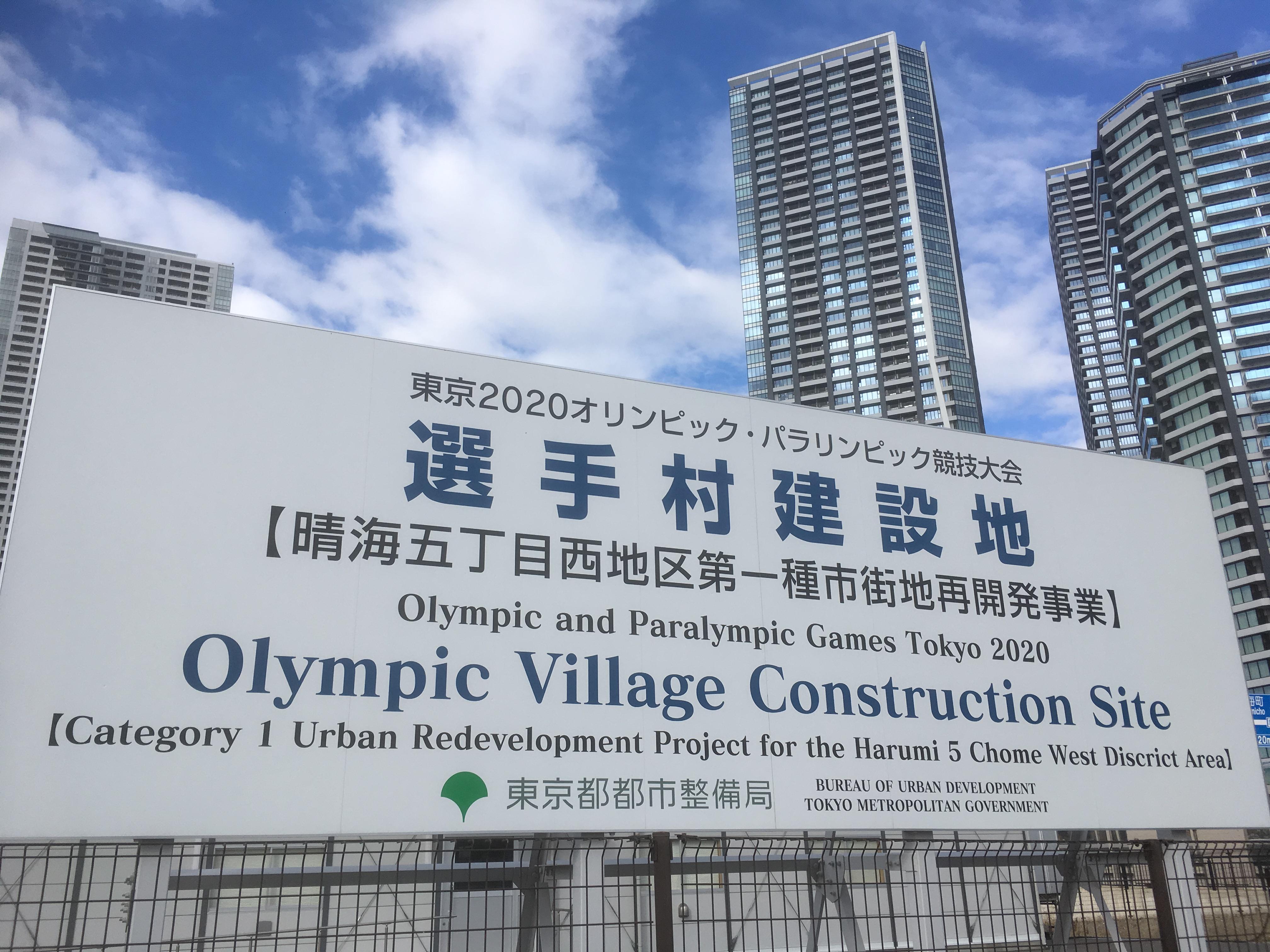
In Harumi, construction of an athlete village has begun for the 2020 Tokyo Olympics.
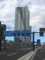
Toyosu Ohashi, Reimei Ohashi and Tsukiji Ohashi have already been bridged. However, it has not yet been used due to the postponement of the relocation of Tsukiji Market to Toyosu.
  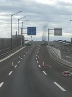
That's why you can take a little strange picture.
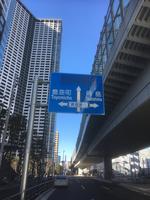
The photo on the left is a photo facing Tsukiji from Harumi 5-chome intersection.
The central photo shows a photo of dawn Ohashi from Asashio Kobashi.
Photo facing the Toyosu area from Harumi 5-chome intersection
None of the roads are used, so no one car is shown.
 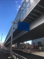
It is a signboard with the place name erased and a signboard with nothing written.
The photo on the left is Tsukiji Ohashi. Of course, the opposite side will be the Tsukiji market. There is no road from here yet.
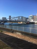
The photo on the right is Kachidokibashi. It doesn't open now, but it is famous as a Futaba jumping bridge. The most downstream bridge of the Sumida River was the Tsukiji Ohashi Bridge.
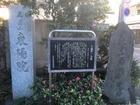
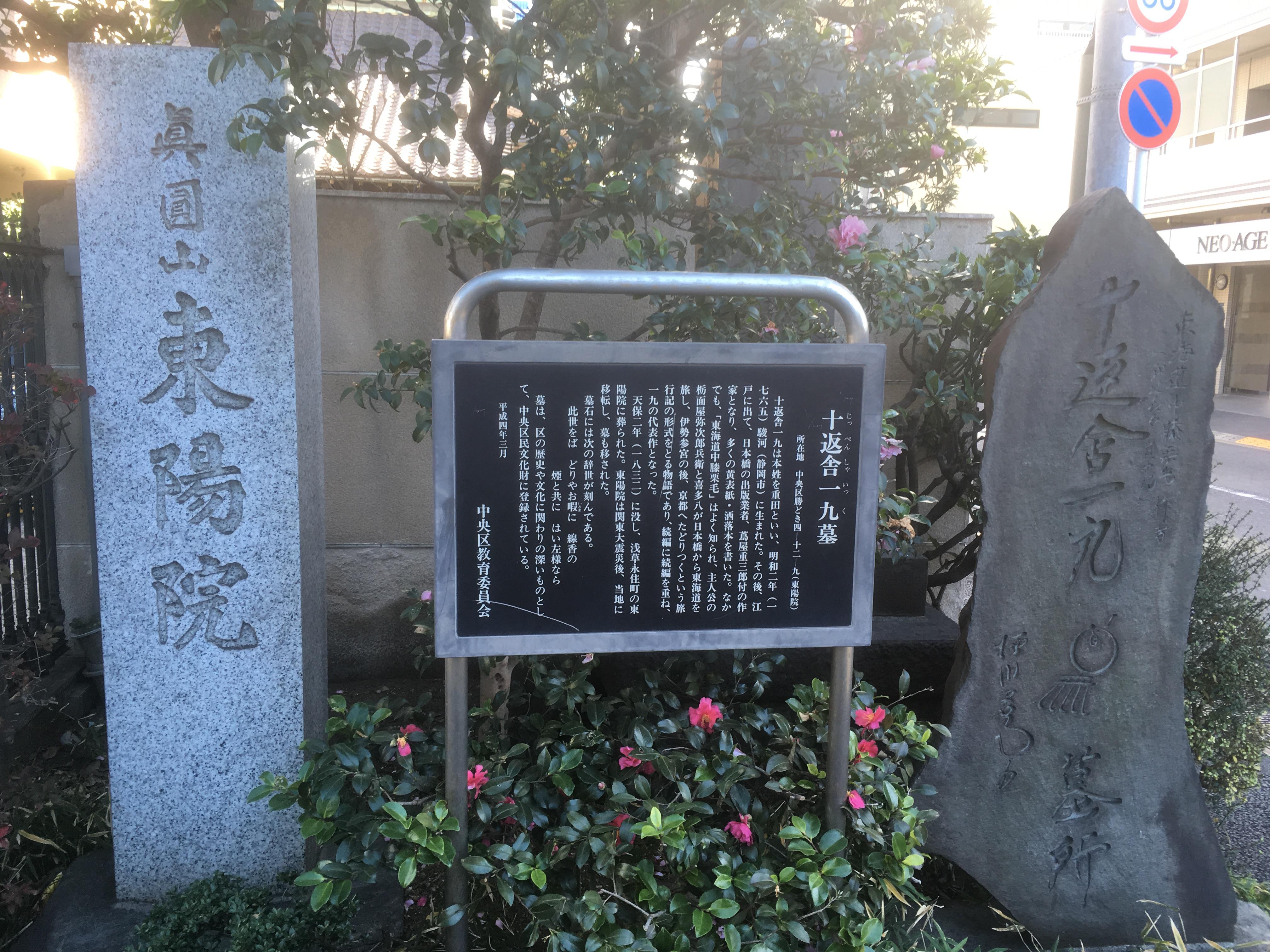
And I came to Shinmayama Toyo-in, where the tomb of Tokasha 19, which wrote Tokaido knee chestnut hair.
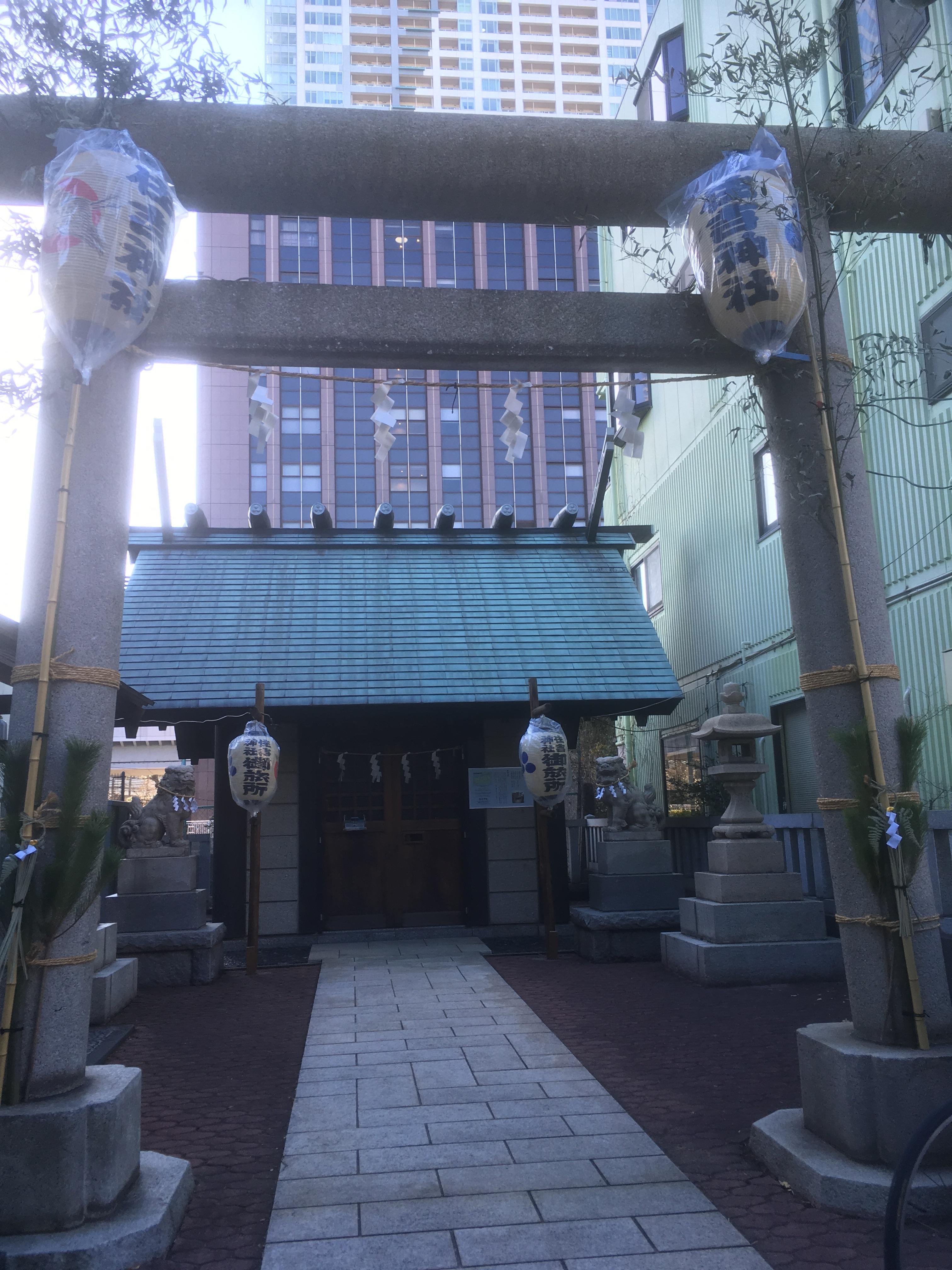
I found a shrine-like building in the immediate vicinity of Toyoin. It was resting place of portable shrines in Sumiyoshi-jinja Shirine. The reclamation of the Tsukishima area progressed, and as the shrine parishioner area expanded, an inn was set up as a place of worship.
This walk around Harumi Kachidoki was very interesting. Starting from Tsukuda Island in the Edo period, landfills with Tsukishima and Harumi progressed, and now the Tokyo Olympics are about to be celebrated in 2020, this area is about to change again. There are a lot of scenery that can only be seen now. Cold days continue, but I would like you to visit Harumi and Kachidoki and experience the changing cityscape and scenery with your own eyes.
|
Links
|


