This is an introduction of the city walk map.
These six maps are issued by the Chuo-ku Tourism Association, Chuo-ku Shopping Street Federation, and Chuo-ku.
If you pick it up and arrange it, you will be introduced to Chuo-ku with six pieces.
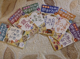
It is made with a gentle color that makes you want to take it in your hand and carry it around.
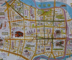
The first one.
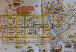
This page is located near Nihonbashi Kyobashi from Tokyo Station.
Each of the historic shopping streets is listed, and its main events are also written.
The second one is around Ginza, and the third one is near Tsukiji.
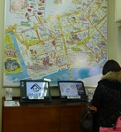
There is also a huge map at the "Platto Tsukiji" information center outside the construction area.
The fourth one is around Ningyocho Hamacho and Higashinihombashi. The fifth one is Hatchobori, Kabuto-cho, and Kayabacho.
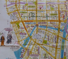
In the shopping streets around Hatchobori, there are many divisions from Edo, and the shopping streets seem to remain the same as the old divisions.
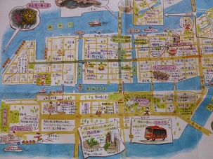
The sixth one is Tsukuda, Kachidoki, Tsukishima and Harumi.
Chuo-ku, which can be seen from this map, is surrounded by many canals and rivers, and seems to be a city of water.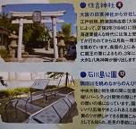
Why don't you take a walk around Chuo-ku with the "Fureai Town Walking Map" in one hand on the day off?
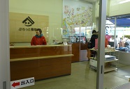
The map seems to be limited. As soon as possible. It is provided for the ward office, branch office, and Chuo-ku Tourism Association.

