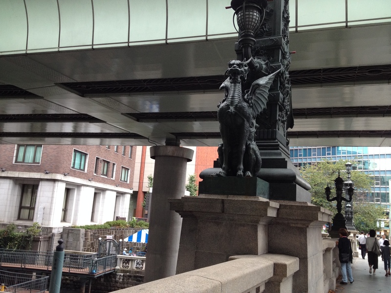
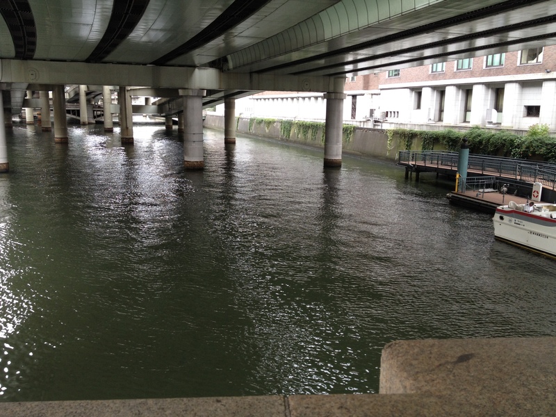
As you know, the Metropolitan Expressway is built on the river as represented by the vicinity of Nihonbashi.
There are many places that have been reclaimed and constructed like near Ginza.
Against this background, I would like to introduce the place where the river used to flow.
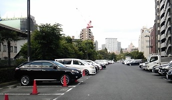
This is where you can see St. Luke Hospital in front. This is the parking lot beside Tsukiji Market.
A river used to flow.
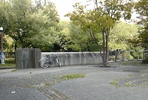
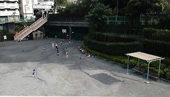
The place that goes toward St. Luke's and becomes Tsukiji River Park would have been planned for the Metropolitan Expressway Ramp before.
It was a road slope. When I was a child, heavy snow fell in Tokyo, and I took out adult skis for a short distance, but I have played.
It's a little memory, but I think it was published in a newspaper with a photo in a heavy snowfall column. (Perhaps daily sports)
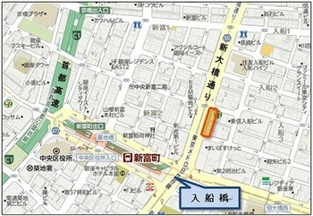
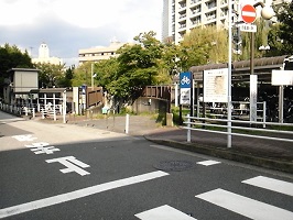
Proceed toward Shintomicho, the intersection of Shin-ohashi-dori St. and Tsukuda-ohashi Bridge Street.
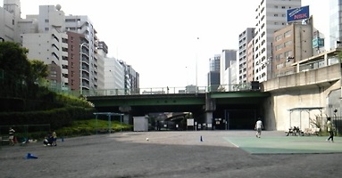
There are parks and playgrounds on the side of Irifune Bridge, located underground.
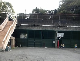
If you go down the stairs and go ahead, it is closed with wire mesh, but you can imagine that it will lead to Tsukiji River Park and Shintomicho Metropolitan Expressway Lamp earlier.
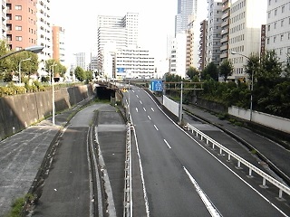
Seeing Irifunebashi from Shintomicho. The road on the left should be followed by Irifune Hashimoto.
In this way, there is a mysterious place around Tsukiji where the road construction plan seems to have been abandoned.
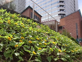
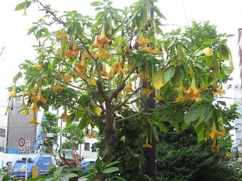
 The annual "Mini Garden Guide Tour" takes a walk around the park with the guidance of a green adviser at the Pocket Plaza "Flowers / Water / Trees" in Harumi Triton Square.
![120702_06_s[1]RS'G.jpg](https://en.tokuhain.chuo-kanko.or.jp/archive/2015/09/01/120702_06_s%5B1%5DRS%27G.jpg)