The other day (May 27), I read "Edo Tokyo History Walk Following the River and Digging" 20 traces "" (written by Tetsushi Okamoto, a new PHP book) introduced on this blog, and I was interested in the former Kaede River, and walked along the former Kaede River.![]()
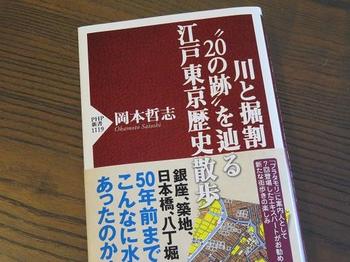
The Kaede River split south from the vicinity of Kabuto-cho on the Nihonbashi River (now near the Edobashi Junction) to the south and reaches the confluence of the Kyobashi River and Hatchobori (Sakuragawa) (now near the Kyobashi Junction). However, it was reclaimed from 1960 (Showa 35) to 1965 (Showa 40), and now the Toshin Beltway on the Metropolitan Expressway passes through its traces.![]()
![]()
![]()
The map below![]() , the yellow part, is where the maple river used to flow.
, the yellow part, is where the maple river used to flow.![]()
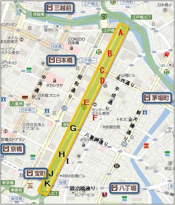
The starting point (A) was where the Kabuto Bridge was once located.![]()
The photo below ![]() shows a view of the place where the Kabuto Bridge would have been built in front of Kabuto Shrine.
shows a view of the place where the Kabuto Bridge would have been built in front of Kabuto Shrine.![]()

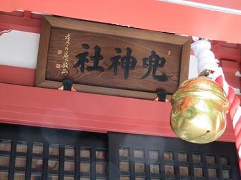
This is Kabuto-jinja Shrine.![]()
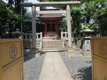
On the precincts, there is a helmet rock that is said to have been visited by Yoshiie Minamotono in the role of the previous nine years and prayed for victory.![]()
This was the origin of the town name of Kabuto-cho.![]()
(B) This is where the shipping bridge was built.![]()
It is said that it was called Takahashi in the early Edo period, and later called Pirate Bridge and Shogen Bridge.![]()
In the first year of the Meiji era (1868), it was renamed Shiunkyo Bridge under the name "Good luck".![]()
At present, only two main pillars are left.![]()
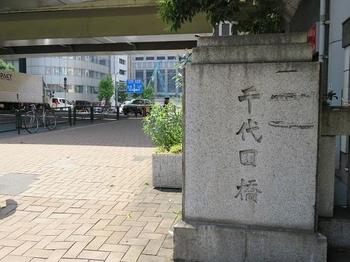
Chiyodabashi (C) ![]() is a bridge built by Eitai-dori St. across the Kaede River.
is a bridge built by Eitai-dori St. across the Kaede River.![]()
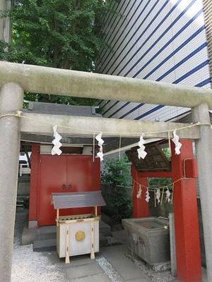
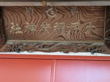
Ohara Inari Shrine (D) ![]() is enshrined on the south side of Chiyodabashi, just a short walk away from the highway.
is enshrined on the south side of Chiyodabashi, just a short walk away from the highway.![]()
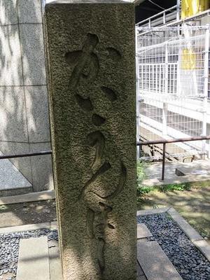
This is Shinba Bridge (E).![]()
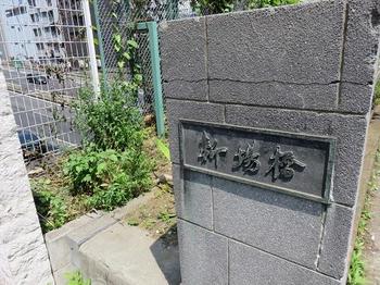
It is said that there were also other names for Nakanohashi and Kaedebashi, and in 1674, a new appetizer (new appetizer) was set up as the second fish shore ()![]() following the Nihonbashi fish shore on the west side, and it was abbreviated as a new place.
following the Nihonbashi fish shore on the west side, and it was abbreviated as a new place.![]()
![]()
![]()
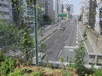
If you look at![]() the expressway north from Hashigami of Shinbabashi, you can see that the road is coming down from the elevated to the bottom of the Kaede River.
the expressway north from Hashigami of Shinbabashi, you can see that the road is coming down from the elevated to the bottom of the Kaede River.![]()
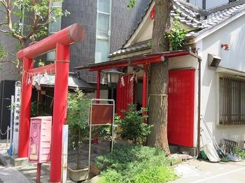
Torii Inari Shrine (F)![]() is located right next to Shinbabashi, just a short walk from Sakura-dori St.
is located right next to Shinbabashi, just a short walk from Sakura-dori St.![]()
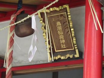
It is built in a quiet place, and the word "Senior First Place" is impressive.![]()
[Continue to walk on the ruins of Kaede River (2).]
![]()
![]()
![]()
![]()
![]()
![]()

