It is a continuation of "Walking the Ruins of Kaede River (1)"![]()
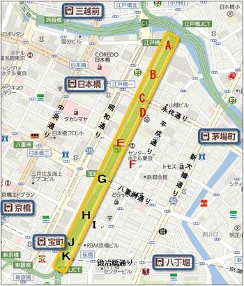
The Kaede River existed in Chuo-ku until the 1930s, and was a river that diverted south from the vicinity of Kabuto-cho on the Nihonbashi River to the confluence of the Kyobashi River and Hatchobori (Sakuragawa), but was reclaimed and now the Toshin Beltway on the Metropolitan Expressway passes through its traces.![]()
![]()
![]()
The yellow part ![]() of the map above
of the map above![]()
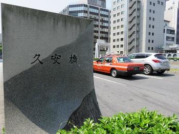
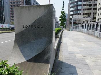
(G) It is Kuyasu Bridge.![]()
This bridge is a bridge where Yaesu Street crosses the "Tokyo Metropolitan Expressway" (formerly Kaede River).![]()
The current bridge was rebuilt along with the construction of Yaesu Street by the reconstruction project after the Great Kanto Earthquake, and is a heavy arch bridge.![]()
Kuyasu Bridge was built in front of the Kamiyashiki of Matsudaira Ecchu Governor of Kuwana Domain during the Edo period and was called "Ecchu Bridge", but in 1868 the name of "Ecchu", a remnant of Edo shogunate, was taken and renamed "Kuyasu Bridge".![]()
![]()
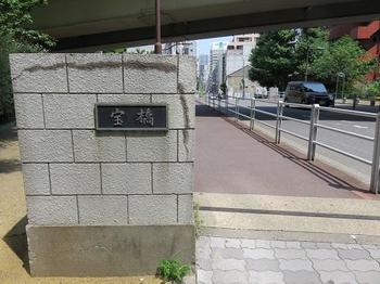
This is Takara Bridge (H).![]()
Takara Bridge is a bridge that crosses the "Tokyo Metropolitan Expressway" (formerly Kaede River) with a narrow one-way street connecting Kyobashi and Hatchobori.![]()
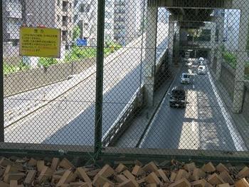
In the photo![]() below, I saw the highway south from Hohashigami.
below, I saw the highway south from Hohashigami.![]()
![]()
![]()
It seems that the name of Takarabashi comes from the town name "Takaramachi, Kyobashi Ward" around the Kaede Kawanishi side at that time.![]()
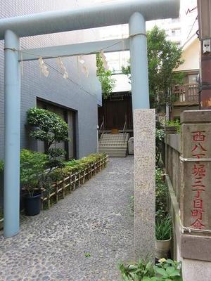
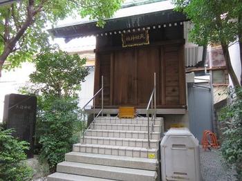
(I) Tenso Shrine, a light blue torii gate![]() , is close to Takarabashi, and main hall is ahead of the narrow approach beside the building.
, is close to Takarabashi, and main hall is ahead of the narrow approach beside the building.![]()
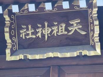
Although it is a small shrine, it has a history, and in 1624 in the early Edo period, the secretary of Ise, Ichinomasa, served at 3-chome Edo Nihonbashi-dori Street, Italy, a separate shrine of Kotaijingu Shrine at Ise-jingu Shrine, at Ise-jingu Shrine.![]()
In 1633, it seems that he was transferred to Hatchobori Matsuyamachi with a replacement area of 300 tsubo and a gate area at the order of the Shogunate.![]()
![]()
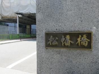
This is Matsuhata Bridge (J).![]()
It seems that it was named after taking one character of each town name from Matsuyamachi on the east side and Inabacho on the west side.![]()
It was also called Matsuya-bashi Bridge during the Edo period.![]()
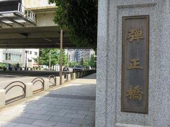
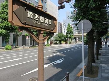
The bridge over the southernmost tip of the Kaede River is Danjo Bridge (K) ![]() and Kaji Bridge Street.
and Kaji Bridge Street.![]()
Again, the current bridge was rebuilt by the Imperial City Reconstruction Project after the Great Kanto Earthquake.![]()
In the early Edo period, there was a residence of Shimada Danjo Tadatoshi on the east side, and it was called 'Mitsuhashi' together with the white fish bridge on the Kyobashi River and the Shinpukuji Temple Bridge in Sanjuma Horikawa.![]()
In 1878, Japan's first ()![]() purely domestic steel bridge was built.
purely domestic steel bridge was built.![]()
This railway bridge was relocated to Koto-ku in 1929 and renamed Hachiman Bridge.![]()
![]()
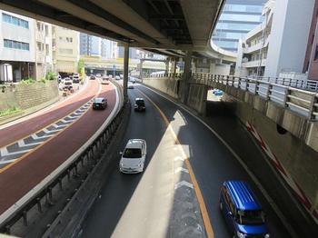
The photo below ![]() shows a view of the highway south of Danjo Bridge.
shows a view of the highway south of Danjo Bridge.![]()
![]()
![]()
This time, when I walked along the Kaede River![]() , it was a little about 1 km away, but I was able to feel the weight of the history accumulated by "river and digging".
, it was a little about 1 km away, but I was able to feel the weight of the history accumulated by "river and digging".![]()
[Walking on the ruins of Kaede River] Completely
![]()
![]()
![]()
![]()
![]()
![]()
