The Sumida River flows through central Tokyo. Several years have passed since the river began to be constructed as Shinsui-Koen Park and terraces. The entire basin has not been completed, but it has already been established as a place for local people, tourists and runners to relax. It is a very recommended walking course where you can walk almost nonstop from the Tokyo Bay shore to Asakusa direction. It is safe because only pedestrians can not enter vehicles (including bicycles).
Get the official website! Sumida River
This time, we will explain the Chuo-ku part of the Sumida River Terrace, from Ryogoku Bridge to just before Eitai Bridge with plenty of images. I want to walk, but I don't know well, so it's troublesome....For those who want it! There are also places that are perfect for shooting and cherry blossom viewing spots in secret places.
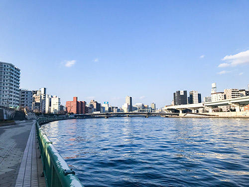 With this feeling, you will walk along the spacious terrace while looking at sightseeing spots such as the Sky Tree and Kokugikan.
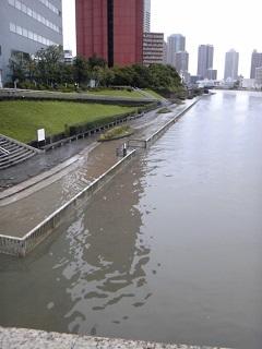
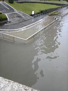
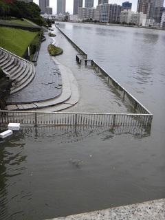
 The image may be hard to see, but this time we will introduce this basin.
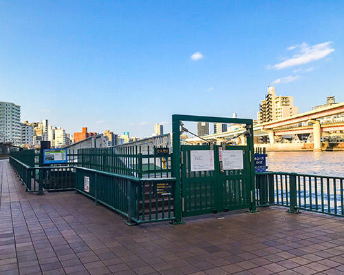
First of all, the entrance is from Ryogoku Bridge.
It's the first entrance. The other side is just under construction.
It will be completed in about a month. By the way, it costs about 330,000 yen to construct the water terrace for 1m2. The total construction cost of this place is about 116,400 thousand yen! I'm looking forward to seeing what can be planted in the flowerbed.
 After walking for about 2 minutes, you will soon find the second doorway.
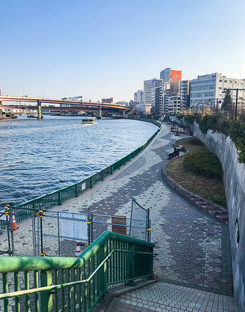
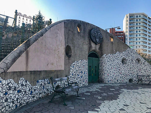
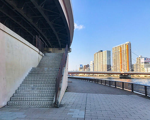
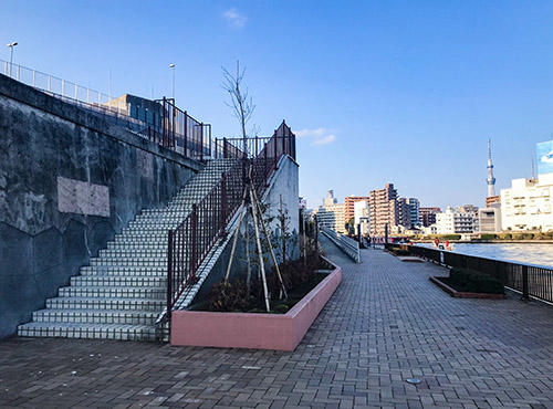
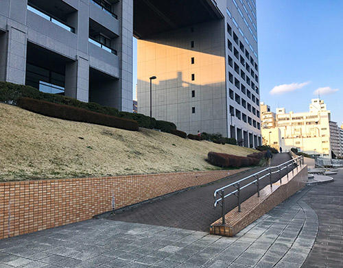
Staircases like Disneyland. It's a shooting spot! If you go up here, you will see "Higashibashi 1-chome Pedestrian Bridge". There is Nihonbashi Junior High School in the surrounding area. It is an area that was once called Yanokura. The terrace along the river is also nice, but when you go up, you can see it.
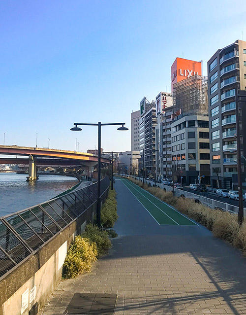 In this way, it is much higher than the road, and it is a quaint promenade where willows flutter. There are many runners running here.
Well, I'll go back to the terrace and walk.
 This is also a shooting spot in the middle.
Walk about 2 minutes and you'll find the third doorway.
 It's nice here too. When you go up, you will find "Hamacho Studio", which is famous for its various TV programs being filmed.
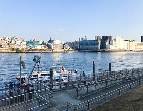
In addition, this place is also the departure and arrival point of the Tokyo Waterside Line.
If you want to move around Tokyo using the waterway or enjoy sightseeing by boat, please!
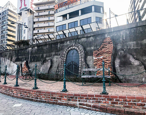
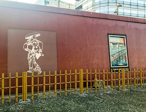
On the wall side of the terrace, there are a lot of ukiyo-e panels depicting the scenery of this area of the Edo period, which excites the mood.
 Also, there is a place near the waterside to the last minute, which is fun.
After walking for about 2 minutes, you will see the fourth doorway.
 Where does this entrance, which is much larger than before, connect?...
 For some people, it is "Chuo-ku General Sports Center" familiar with "Pokemon Nest". Toei Subway Hamacho Station is also nearby. Because it is a fairly large park, festivals and events are held frequently, and many cute dogs take a walk early in the morning and evening. It is a place for those who like animals.
I'll go back to the terrace.
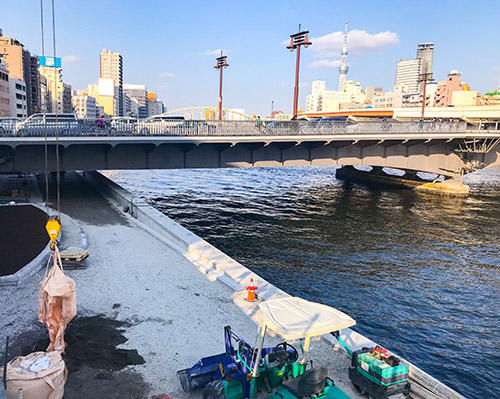
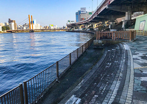
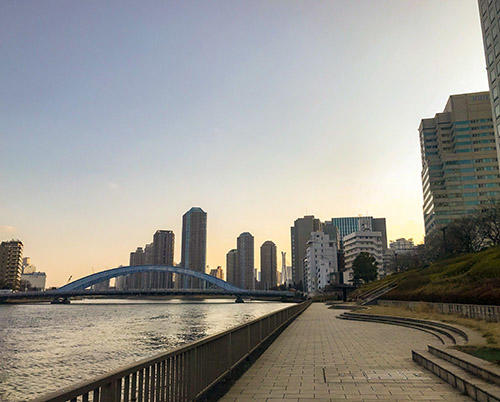
 It is a calm early spring Sumida River. What I can see is Shinohashi. In the Great Kanto Earthquake that occurred in 1923, many people who evacuated on this bridge were saved, so it was also called the "Human Assistance Bridge". The current bridge was built in 1976. Designated by Tangible Cultural Property.
If you walk about 3 minutes from there, you will find the fifth doorway.
If you go up here, it is convenient because it is directly connected to Shinohashi.
There's a dog run around here!
 It's a dog run that can run well. The name is "Wanwan Square". Use is from 7:00 am to 8:30 pm on weekdays and 3:30 pm on weekends and holidays. Free of charge, eating and drinking, smoking, dog training and brushing are prohibited.
From here, you'll find the sixth doorway.
 If you go up here, you will find business hotels such as the Apa Hotel in Hakozaki. In the past, it was called Nakasu. It's dark here at night and there are no traffic, so I don't recommend going out alone. It's fun when it's bright!
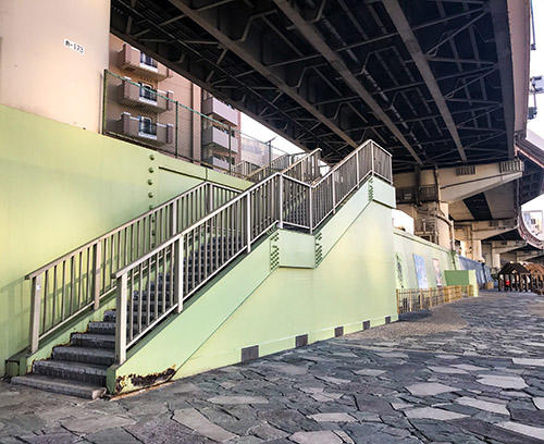
It's about 3 minutes from here, and there's a seventh entrance.
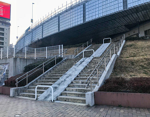 This is a staircase directly connected to the Nihonbashi Fire Station Hamacho Branch Office, so sometimes you can see firefighters training.
 It's cool.
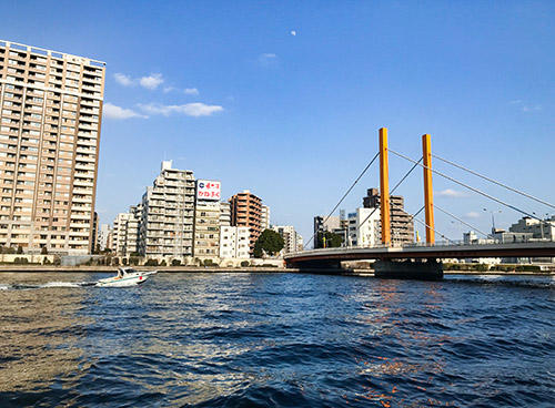
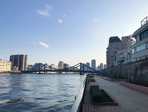
By the way, I walked Oita from Ryogoku Bridge at the starting point. Finally, I can see Kiyosu Bridge, a beautiful woman proud of the Sumida River!
 In about 3 minutes, there's the eighth doorway.
 If you go up here, you will find Kiyosu Bridge, Aeon, etc.
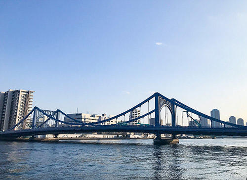
Kiyosu Bridge has been designated as a national important cultural property. In 1928, after the Great Kanto Earthquake, it was newly replaced as a reconstruction project. It was designed based on a suspension bridge over Rhine, Germany, but it seems that the original Rhine bridge has disappeared, and there is that bridge here! And Germany is coming to see it.
Crossing Kiyosu Bridge to the opposite bank is Kiyosumi Shirakawa, a fashionable area that has now become synonymous with East Tokyo.
Now, I'm walking all the way on the Chuo-ku side of the Sumida River, but the opposite bank is Koto-ku. It is a place related to Gennai Hiraga and Matsuo Basho. This is also a very fun and delicious place.
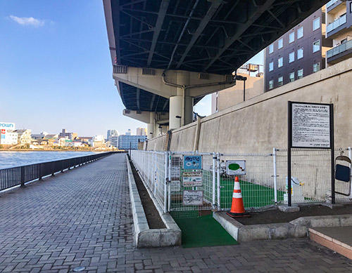
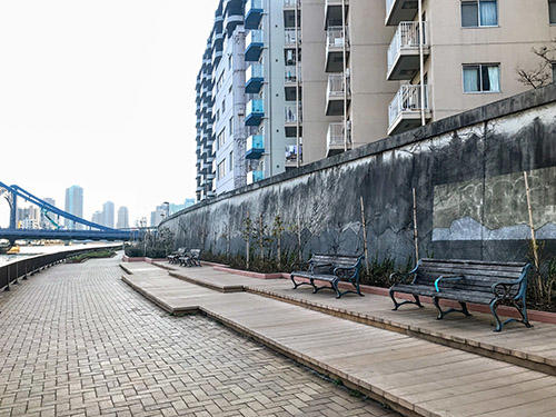
There are many chairs on the Sumida River Terrace, so you can feel safe when you are tired or want to organize your luggage. There is also a resting place with a table near Kiyosu Bridge, so it may be good to eat a lunch box.
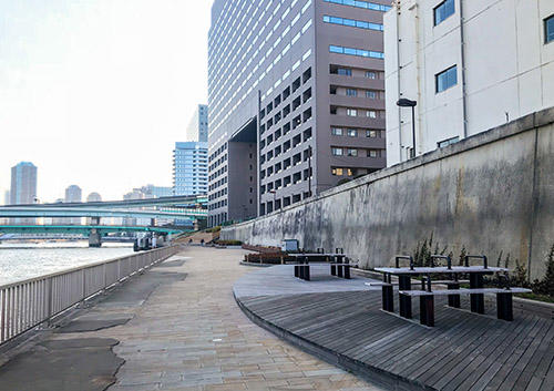 The point is that it is far from the surface of the water! There are quite a few water parks where chairs and tables are set right next to the surface of the water, but there is a high risk of getting drunk....。
After walking for about 5 minutes, the ninth entrance.
 It's Daiwa House River Gate! Nearby is the Suitengu Shrine.
The building is like a large gate, and the wind is designed so that people walking on the city can enjoy the view of the riverside. As expected, Daiwa House.
And the 10th doorway nearby.
 Hello. This is IBM Hakozaki.
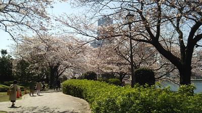
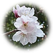
As you can see, this area is planted with a lot of cherry blossoms, and it is very beautiful in spring! Because it is not a so-called sightseeing spot but a business district, it seems to be not well known, and it is a secret cherry blossom viewing spot. The bridge is lit up, making it a great location to see the cherry blossoms at night.
Soon there is the 11th entrance, and the Sumida River Terrace is once closed.
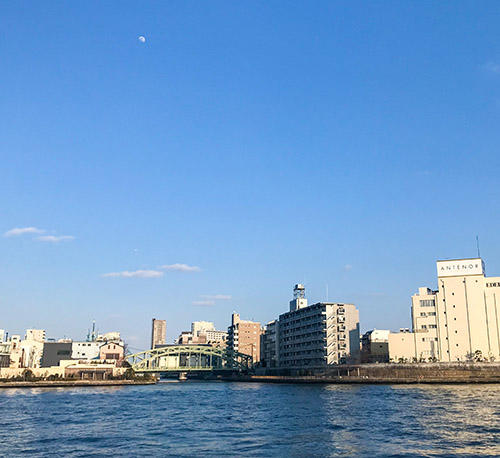
The other side of the Nihonbashi River is the Shinkawa area. You can see Eitai Bridge and River City 21.
The Sumida River Terrace continues over there across the Toyomi Bridge. You can go through the ground until just before Eitai Bridge.
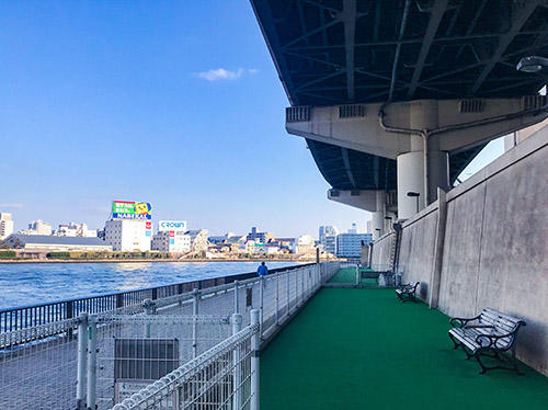
I've been with you for a long time, but it doesn't take less than 30 minutes to walk from Ryogoku Bridge to Ststa. I think it's just a good walk course. It's like this in the middle of the terrace
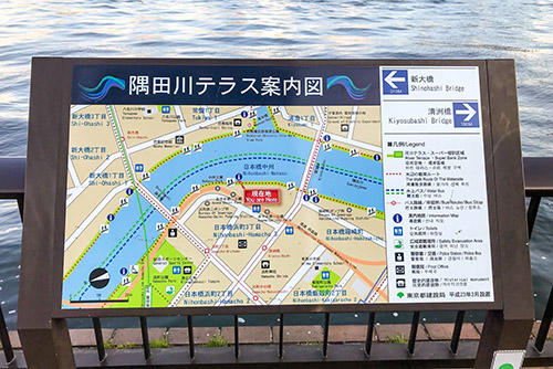 There are maps here and there, so I don't have to worry about where to go to the city or go through the waterway.
When it gets warm, a lot of flowers bloom on the Sumida River Terrace, making it very gorgeous. Sumida River Terrace, where the construction is completed soon, please come and take a walk after cherry blossom viewing. It's also fun to walk along the Sumida River to Asakusa and Sumizumi! It's about an hour.


 There is "Hatchobori" on the Hibiya Line / JR Line and "Hori" on the house display.
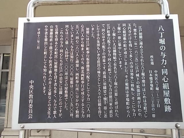
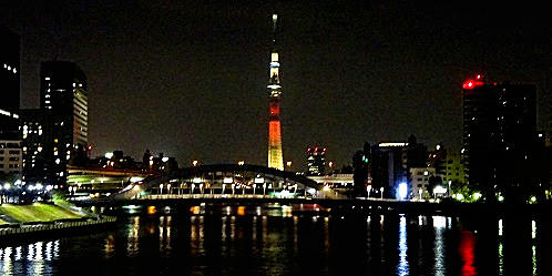
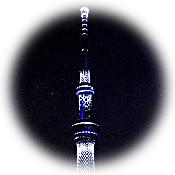 On March 11, seven years after Great East Japan Earthquake, the Tokyo Sky Tree illuminated a special lighting named "Akahana" with the aim of reconstructing the affected areas.
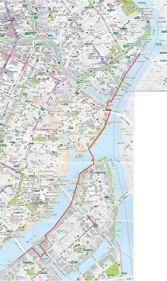
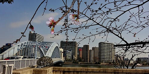
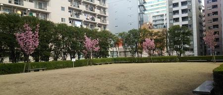
 The early blooming "Okanzakura" on the Sumida River Terrace on the south side of Eitai Bridge Westfill blooms.
